E1 in Norway, Finland und Sweden
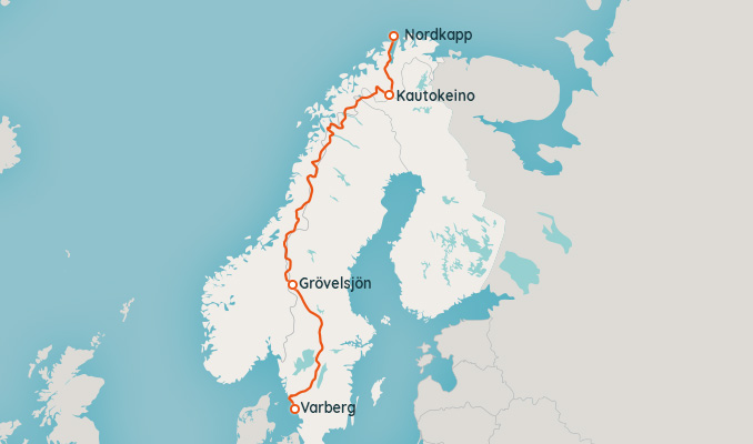
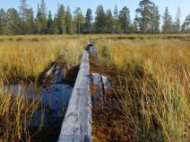
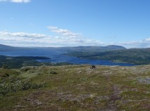
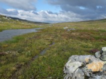
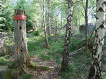
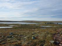
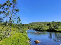
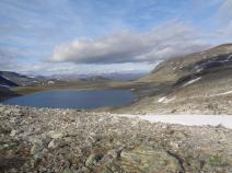
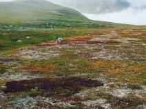
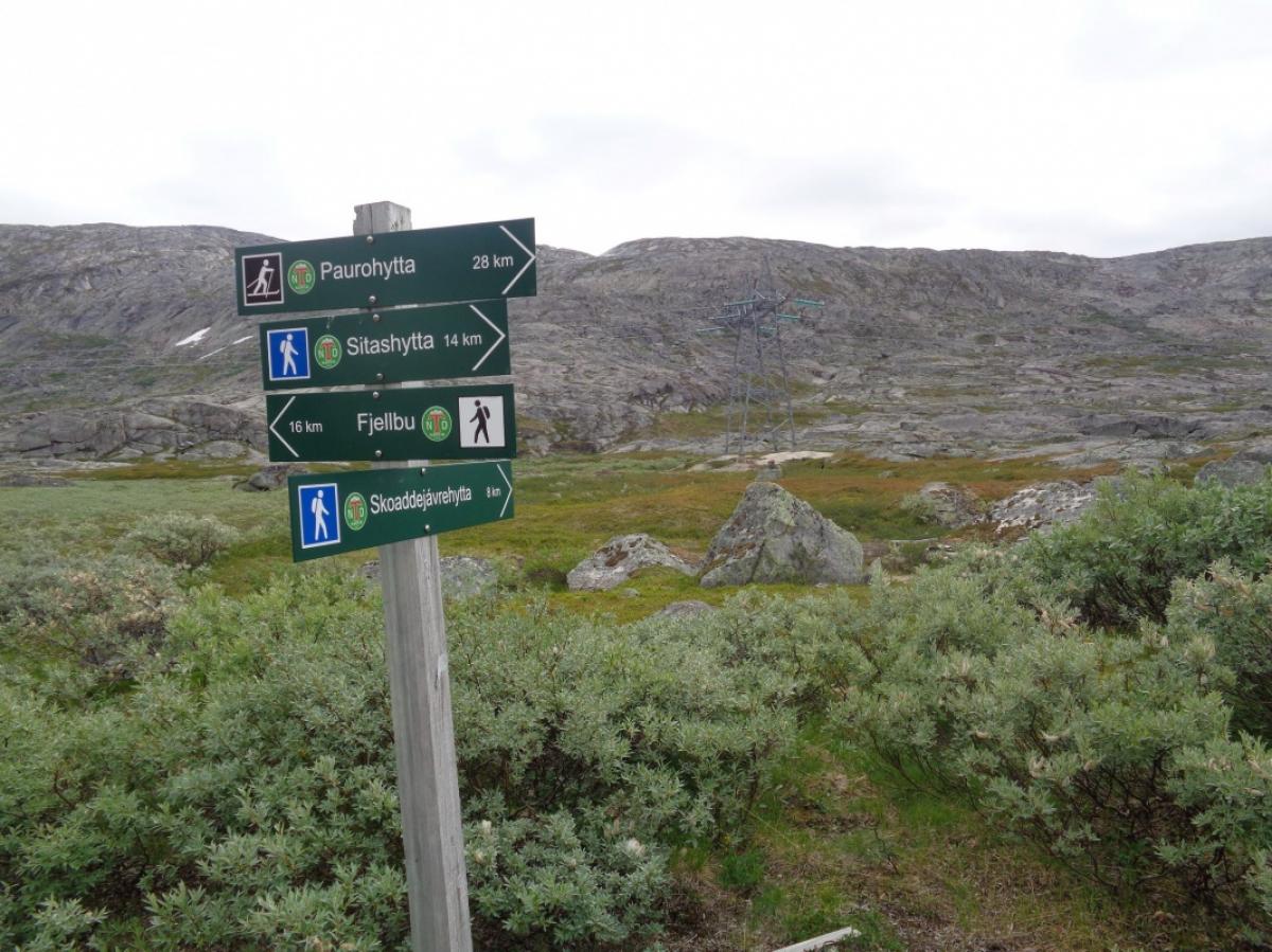
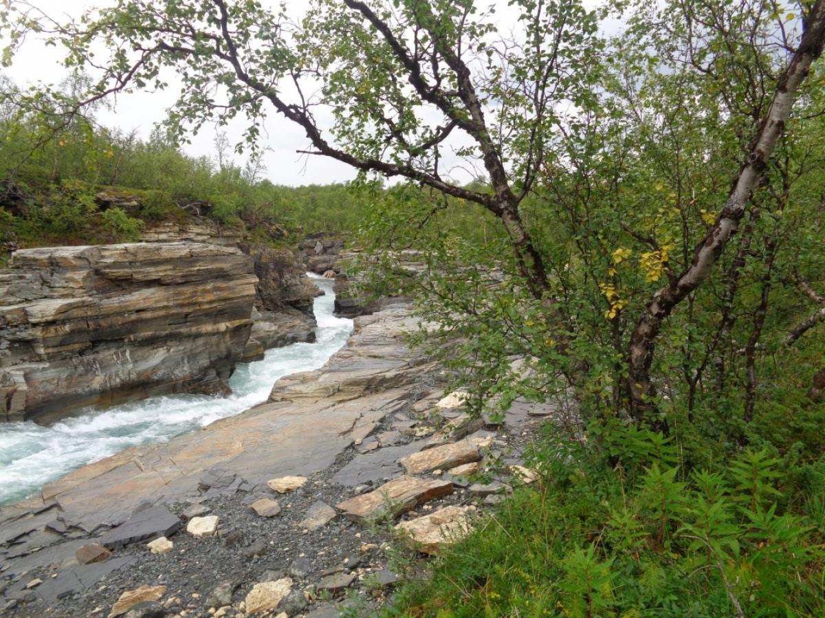
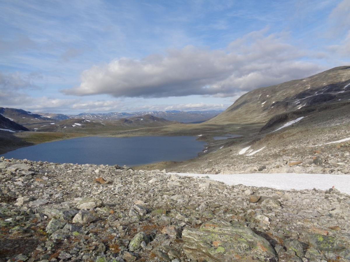
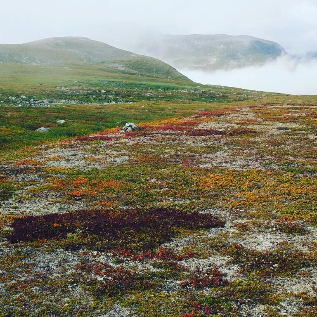
The E1 starts its 8,000-kilometre journey south from the North Cape in Norway. In the northern part of the Scandinavian peninsula, it switches back and forth between Norway and Sweden. A short section also leads through Finland.
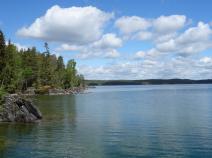
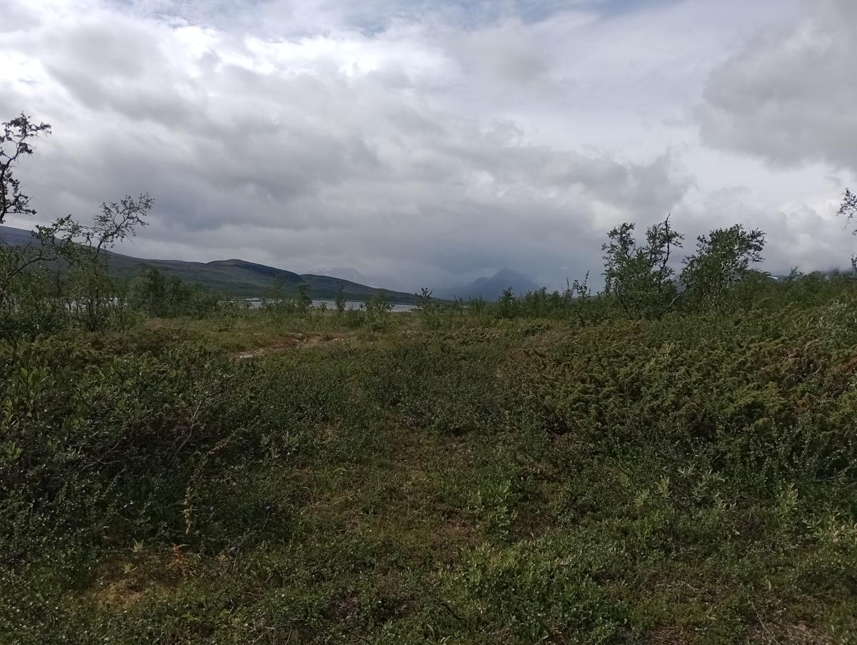
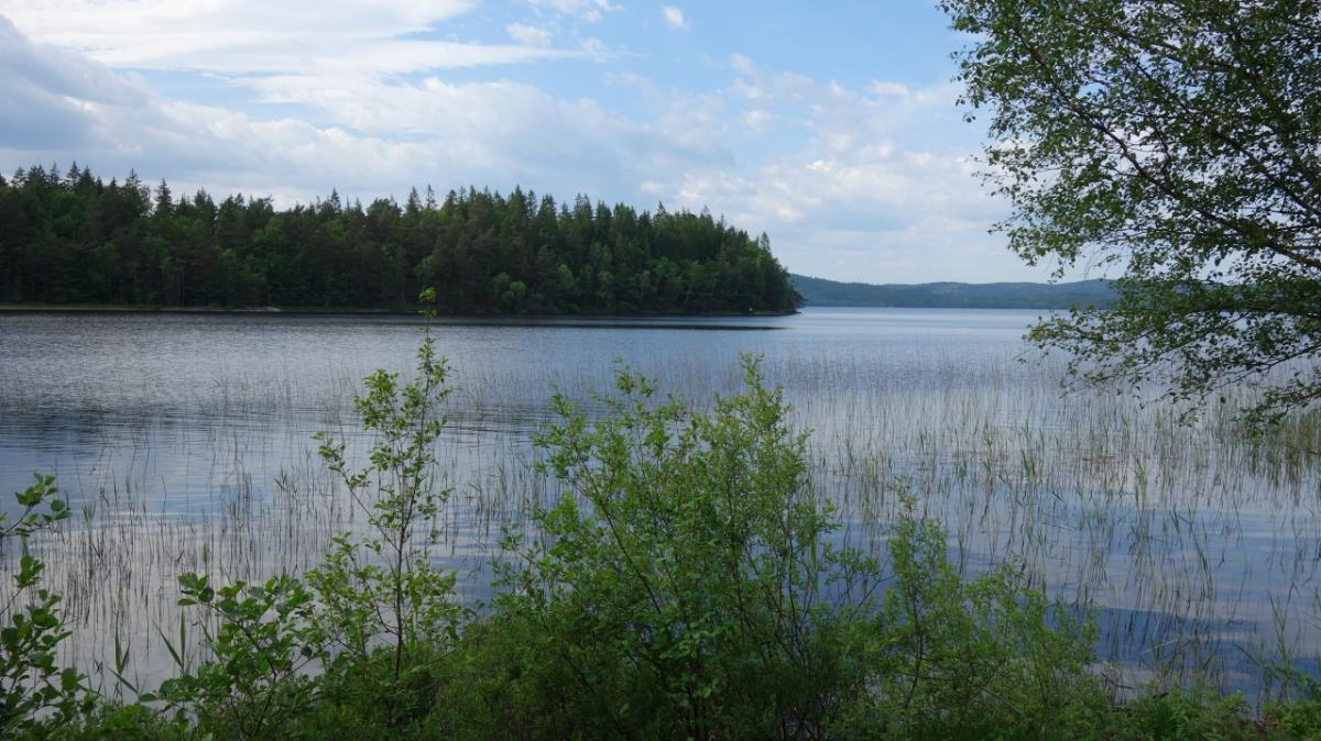
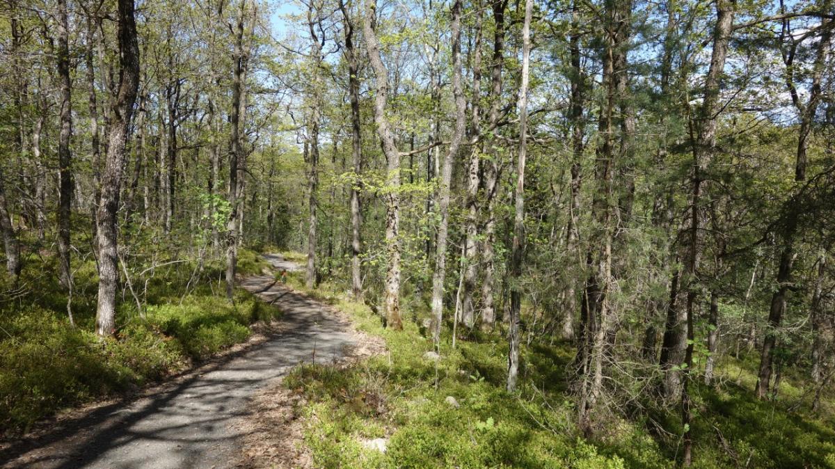
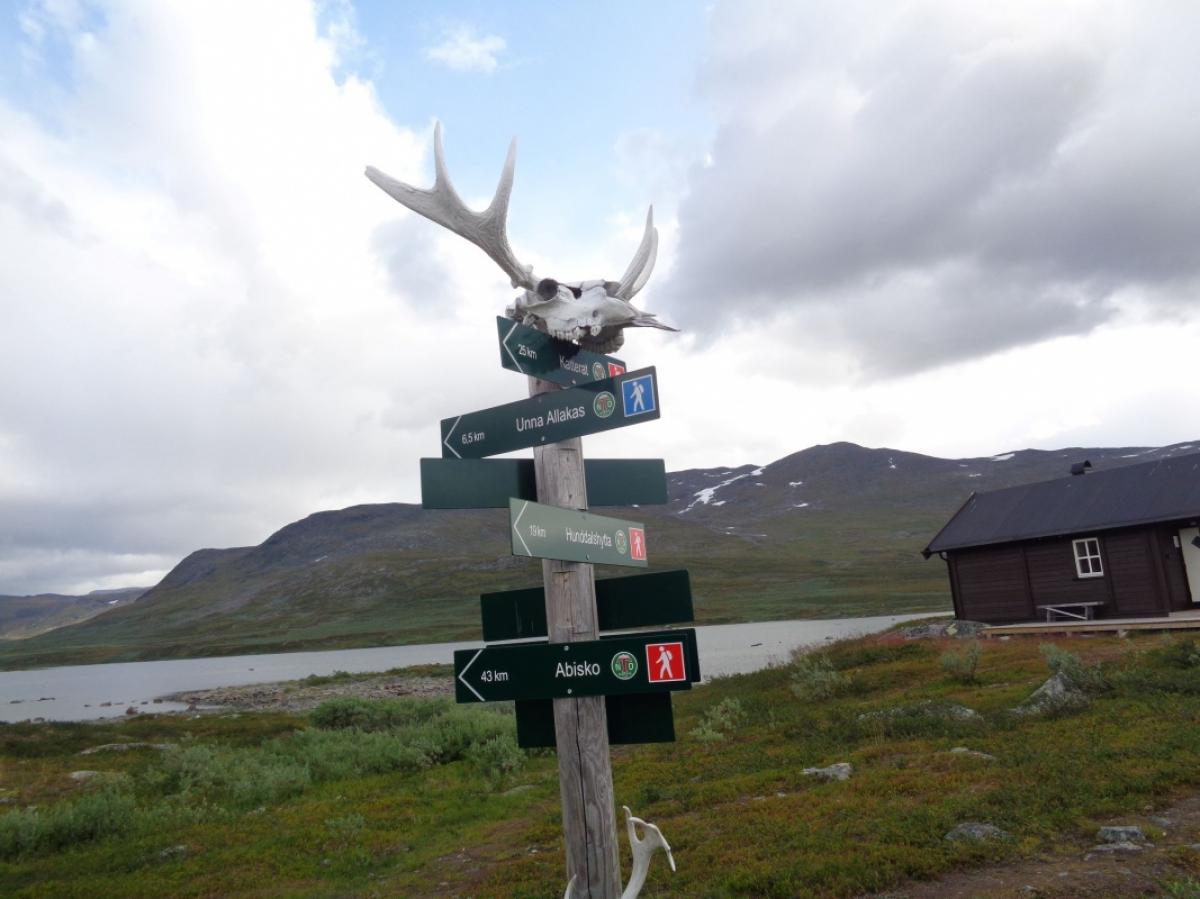
The northernmost section from the North Cape through Finnmark to Kautokeino was completed on 4 June 2013. From there, the E1 largely follows the long-distance hiking trails Nordkalottleden and Grensesømmen to Grövelsjön in Sweden. There the E1 ends near the border and continues on various regional hiking trails through Sweden to Varberg. However, the ferry to Denmark does not longer leave in Varberg. It is advisable to extend the route via Hallandsleden to Halmstad.
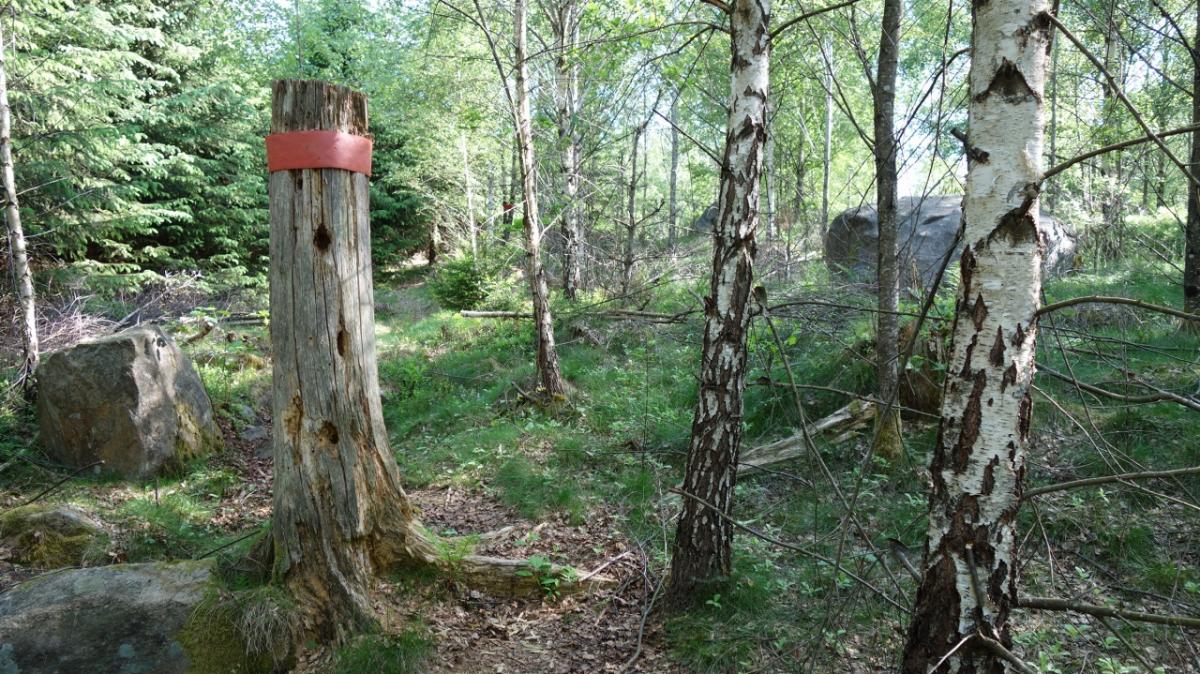
When dividing the stages between the North Cape and Grövelsjön we follow the information brochure of the Norwegian Trekking Association (DNT). Our GPS tracks and overview maps are based on the route of the E1, as shown in the OpenStreetMap. All information, including accommodation, is subject to change.


Stage overview
Links
Links, hiking reports and blogs
DNT - Den Norske Turistforening
Extensive information of the DNT about the E1 (norwegian)
waymarkedtrails.org - Norway
Route of the E1 in Norway on an OpenStreetMap including GPX download
waymarkedtrails.org - Finland
Route of the E1 in Finland on an OpenStreetMap including GPX download
waymarkedtrails.org - Sweden
Route of the E1 in Sweden on an OpenStreetMap including GPX download
godtur.no
Detailed topographic map of Norway
ut.no
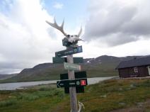
List of stages and shelters in Norway
E1 Video
Video by DNT with impressions of the E1 in the area of the North Cape
Cesar and the Woods
Blog with information about stages of the E1 in Sweden (englisch)
https://cesarandthewoods.blogspot.com/2014/01/cesars-guide-to-e1-trails-in-sweden.html
Vindskyddskartan Sverige
google map showing shelters in sweden
European Ramblers Association: Norway
Info page on the E1 in Norway
European Ramblers Association: Sweden
Info page on the E1 in Sweden
Literature

GPX-Download
| All E1-Stages in E1 in Norway, Finland und Sweden | Download Tracks (.gpx) |
| Accomodation in E1 in Norway, Finland und Sweden | Download POIs (.gpx) |
The download and many of the services offered on this page are free of charge. However, I would greatly appreciate a small donation as a token of appreciation for my work! This can be done through Paypal or a supporting membership. Thank you very much!