08.10 Berga by - Skärlokskojan
18.1km
Distance
-
Walking time
291m
Total climb
96m
Total descent
Photos

Stage description
N.B.: We don't have an English description of the stage just yet. We'll give you the German version for now until the English version is ready.
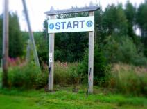
Vorbemerkung: Der Track oben bezieht sich auf die Route des Wasalaufs - also mit Langlaufski. Der Vasaloppsleden für Fußgänger im Sommer verläuft zumindest bis Mångsbodarna zu großen Teilen anders. In den schwedischen Karten (minkarte.lantmateriet.se) findet man beide.
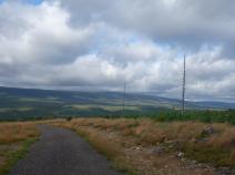
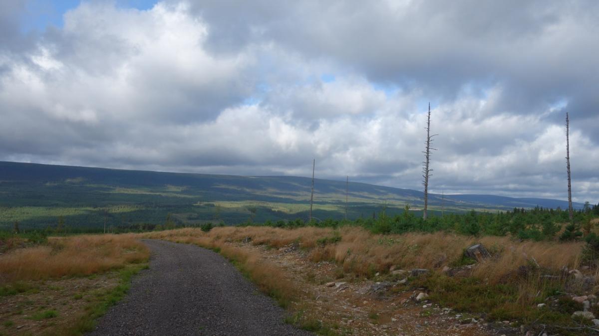
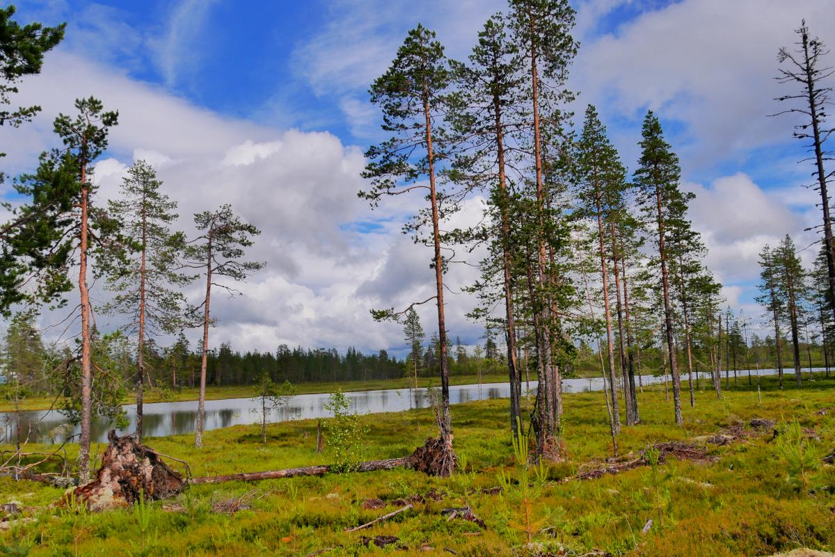
Vom Wasalaufsstart geht es zunächst über die breite Schneise für den Langlauf durch Wald aufwärts. Ein breiter Fahrweg wird gekreuzt und es geht auf einem Fahrweg weier noch über den höchsten Punkt des Wasalaufs (beschildert) hinaus. Dann aber weicht der Wanderweg ab und geht auf einen halbrechts abzweigenden Pfad. Dieser geht in ziemlichem Auf und Ab durchs Gelände und ist wenig begangen. 2 Forstwege werden gekreuzt. Nach der ersten Schutzhütte - übrigens mit dem einzigen Hinweis auf den E 1 überhaupt in diesem Bereich - geht es ebener weiter. Nach Kreuzung einer weiteren Forststraße und einem Abschnitt auf der breiten Langlaufroute setzt sich der Weg auf einer Forststraße nach rechts und dann der unbefestigten Straße nach Smågan links fort. In Smågan gibt es eine Übernachtungshütte. Weiter im Uhrzeigersinn um den See. Über einen Waldpfad links wird der Verlauf der Forststraße abgekürzt und dann in freierem Gelände eine weitere Schutzhütte erreicht. Dann geht es auf Pfaden entlang mooriger Gebiete und nach einem Stück auf der breiten Wasalauftrasse rechts zur Skärlokskojan.
Hiking maps
No maps added yet
Marking
-
 Hiking trail (Sweden)
Additionally marked with the symbol "Gustav Vasa".
Accommodation
| Accommodation | Price group | |||
|---|---|---|---|---|
| 0-200 SEK |
201-400 SEK |
401-600 SEK |
>600 SEK |
|
|
Smågankojan
Price group:
|
||||
|
Skärlokskojan
Price group:
|
||||
Links
Map of the Vasaloppet
Map and profile of the Vasaloppet. Information about shelters, drinking water, sights, and much more.
GPX-Downloads
You can use the GPX track for navigation and tour planning on your digital device (GPS, smartphone, online tour planner).
| Etappe Stage 08.10 Berga by - Skärlokskojan | Download (.gpx) |
| All tracks in Norway, Finland and Sweden | Download (.zip) |
The download and many of the services offered on this page are free of charge. However, I would greatly appreciate a small donation as a token of appreciation for my work! This can be done through Paypal or a supporting membership. Thank you very much!