08.06 Tangsjöstugan - Björnholmsstugan
24.5km
Distance
-
Walking time
715m
Total climb
1088m
Total descent
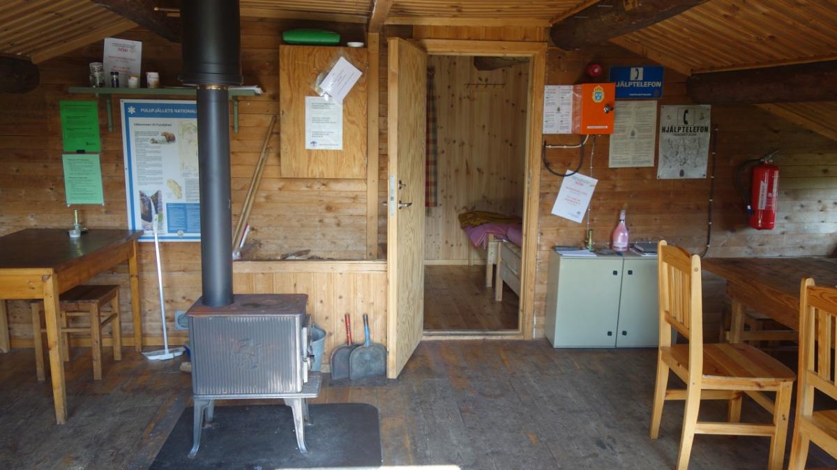
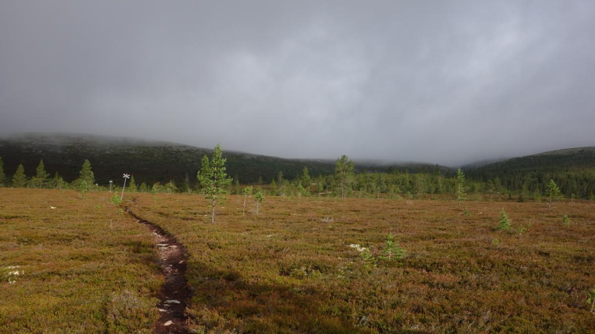
Photos
Stage description
N.B.: We don't have an English description of the stage just yet. We'll give you the German version for now until the English version is ready.
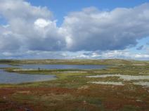
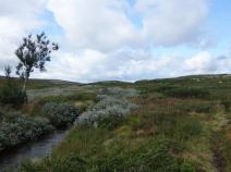
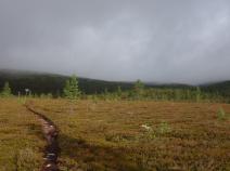
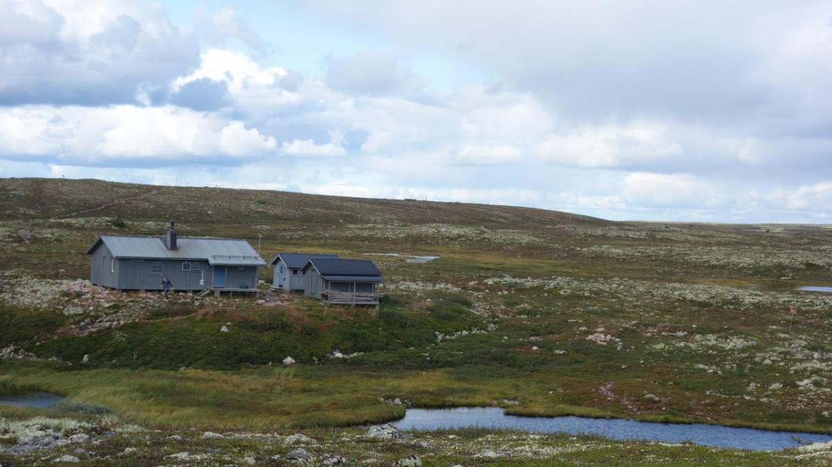
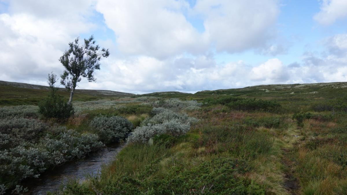
Von der Tangsjöstugan geht es zunächst ein paar schöne Seen entlang, dann durch das Tal des Tangsjö bis zur Tangådalsstugan. Von dort geht es hinauf ins Summetfjället mit seinen vielen Geröllfeldern. Bei gutem Wetter muss man hier einen tollen Ausblick haben. Auf der anderen Seite geht es hinab zur Björnholmsstugan, wo der Fulufjällets Nationalpark endet.
Hiking maps
No maps added yet
Marking
-
 Hiking trail (Sweden)
Accommodation
| Accommodation | Price group | |||
|---|---|---|---|---|
| 0-200 SEK |
201-400 SEK |
401-600 SEK |
>600 SEK |
|
|
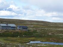
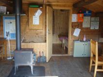
Tangsjöstugan
Price group:
|
||||
|
Tangåstugan
Price group:
|
||||
|
Björnholmsstugan
Price group:
|
||||
Links
Flyer about souther Kungsleden (PDF)
General information, overview map and information about huts and shelters
Literature

Sources and copyright
GPX track coordinates: © OpenStreetMap contributors. Published under Open Database License (ODbL)GPX-Downloads
You can use the GPX track for navigation and tour planning on your digital device (GPS, smartphone, online tour planner).
| Etappe Stage 08.06 Tangsjöstugan - Björnholmsstugan | Download (.gpx) |
| All tracks in Norway, Finland and Sweden | Download (.zip) |
The download and many of the services offered on this page are free of charge. However, I would greatly appreciate a small donation as a token of appreciation for my work! This can be done through Paypal or a supporting membership. Thank you very much!