Stage
11.03 Äskhult - Stättared
15.2km
Distance
-
Walking time
504m
Total climb
541m
Total descent
Photos
Stage description
No description available yet.
Hiking maps
No maps added yet
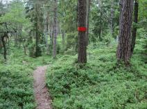
Marking
-
 Hiking trail (Sweden)
Accommodation
| Accommodation | Price group | |||
|---|---|---|---|---|
| 0-200 SEK |
201-400 SEK |
401-600 SEK |
>600 SEK |
|
|
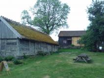
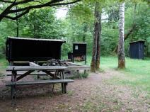
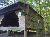
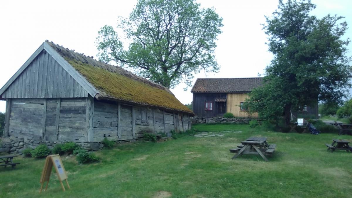
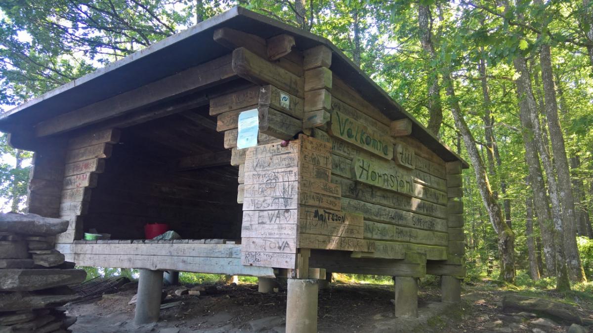
Vindskydd Äskhult
Äskhut
Price group:
|
||||
|
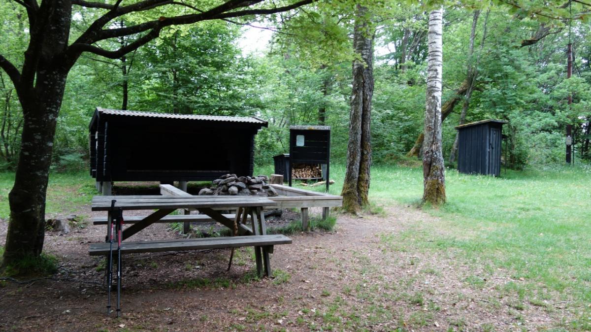
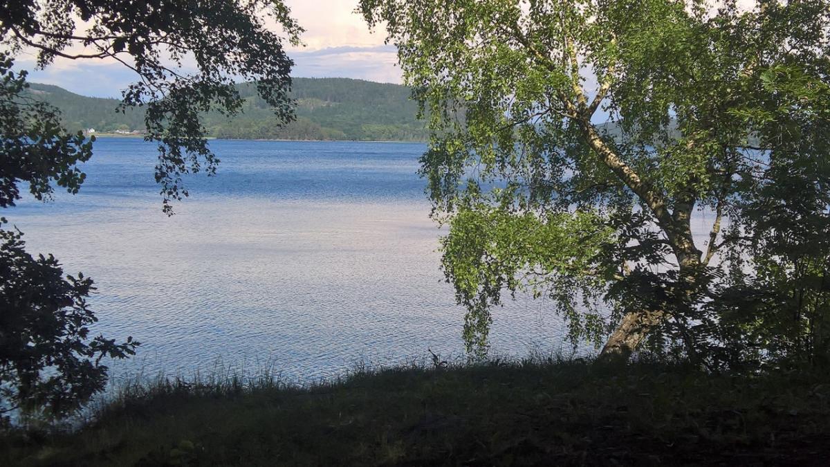
Vindskydd Horredssjön
Price group:
|
||||
|
Stättareds 4H-gård & vandrarhem
Veddige
Price group:
|
||||
Links
Sources and copyright
GPX track coordinates: © OpenStreetMap contributors. Published under Open Database License (ODbL)GPX-Downloads
You can use the GPX track for navigation and tour planning on your digital device (GPS, smartphone, online tour planner).
| Etappe Stage 11.03 Äskhult - Stättared | Download (.gpx) |
| All tracks in Norway, Finland and Sweden | Download (.zip) |
The download and many of the services offered on this page are free of charge. However, I would greatly appreciate a small donation as a token of appreciation for my work! This can be done through Paypal or a supporting membership. Thank you very much!