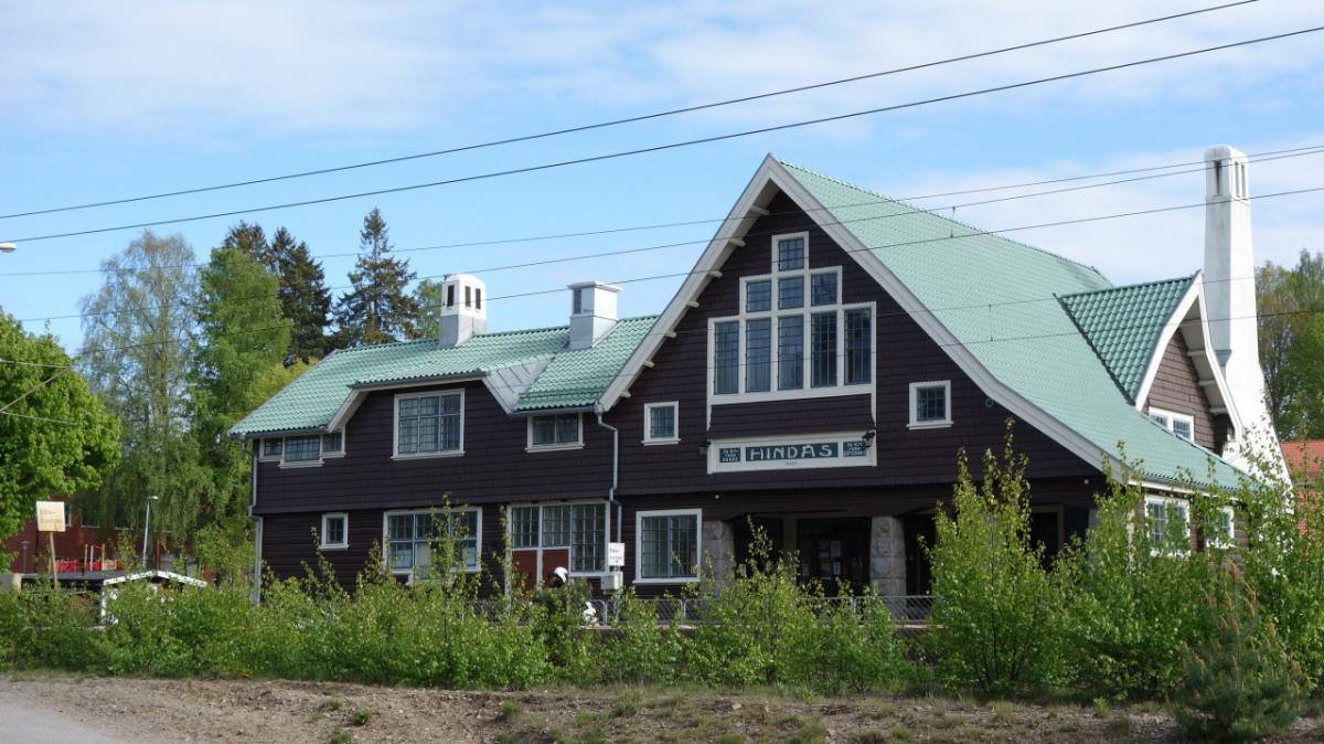
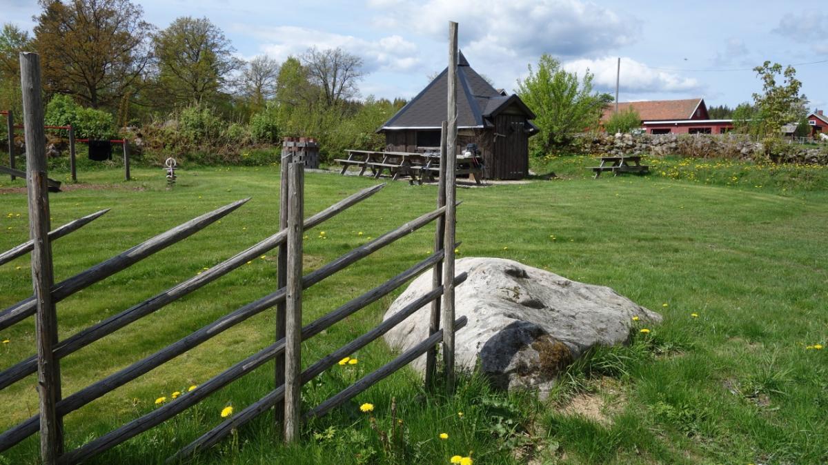
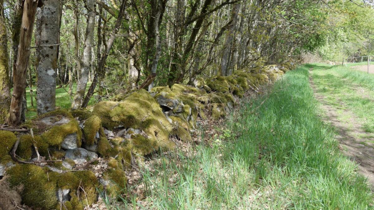
10.18 Hestrafors IF - Hindas
13.7km
Distance
-
Walking time
442m
Total climb
402m
Total descent
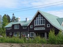
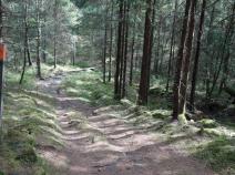
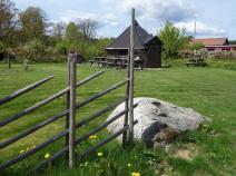
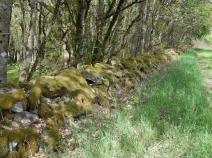
Photos
Stage description
N.B.: We don't have an English description of the stage just yet. We'll give you the German version for now until the English version is ready.
Der Sjuhäradsleden ist waldreich. Die Etappe verläuft mal auf schmalen, knorrigen Wegen, mal auf breiten Forstwegen,
The following users contributed to this text:
Hiking maps
No maps added yet
Marking
-
 Hiking trail (Sweden)
Accommodation
There is currently no accommodation listed for this stage.
Do you know a recommended accommodation for this stage? We are happy about your hint. Please leave a comment or send us an
Links
boras.se: Sjuhäradsleden
Information about Sjuhäradsleden trail and stage PDFs in english language
Sources and copyright
GPX track coordinates: © OpenStreetMap contributors. Published under Open Database License (ODbL)GPX-Downloads
You can use the GPX track for navigation and tour planning on your digital device (GPS, smartphone, online tour planner).
| Etappe Stage 10.18 Hestrafors IF - Hindas | Download (.gpx) |
| All tracks in Norway, Finland and Sweden | Download (.zip) |
The download and many of the services offered on this page are free of charge. However, I would greatly appreciate a small donation as a token of appreciation for my work! This can be done through Paypal or a supporting membership. Thank you very much!