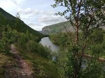
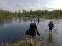
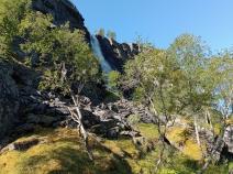
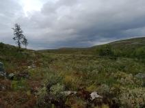
Nordkalottleden (North)
Stage overview
| Stage | Distance | Walking time | Total climb | Total descent |
|---|---|---|---|---|
| 02.01 Kautokeino - Cunovuohppi | 19.4km | - | 319m | 281m |
| 02.02 Cunovuohppi - Reisavannhytta | 28.1km | - | 448m | 374m |
| 02.03 Reisavannhytta - Nedrefosshytta | 28.1km | - | 322m | 603m |
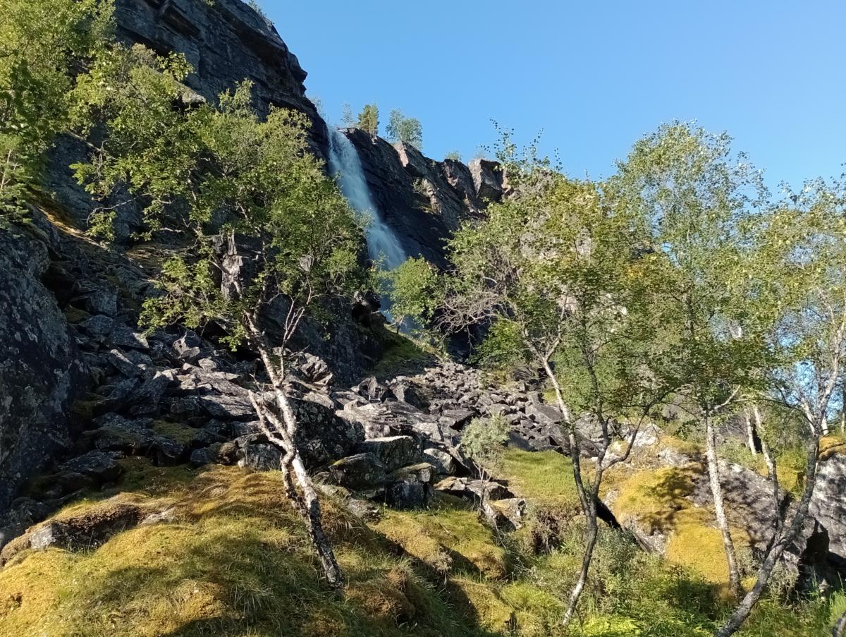
| 02.04 Nedrefosshytta - Saraelv | 25.5km | - | 458m | 532m |
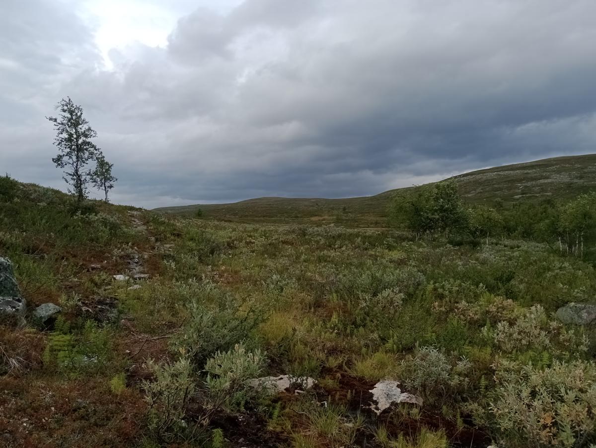
| 02.05 Saraelv - Somashytta | 28.7km | - | 943m | 289m |
| 02.06 Somashytta - Kopmajoki | 3.2km | - | 44m | 28m |
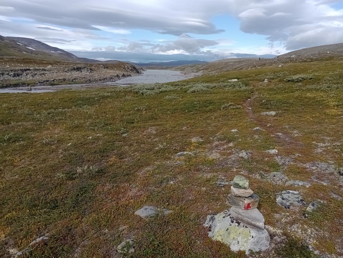
| 02.07 Kopmajoki - Pihtsusjärvi | 10.8km | - | 226m | 253m |
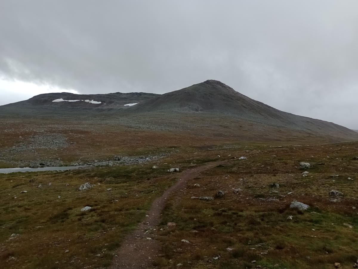
| 02.08 Pihtsusjärvi - Meekonjärvi | 10.4km | - | 118m | 251m |
| 02.09 Meekonjärvi - Kuinarjoki | 9.4km | - | 366m | 103m |
| 02.10 Kuinarjoki - Saarijärvi | 8.7km | - | 155m | 338m |
| 02.11 Saarijärvi - Kilpisjärvi | 18.5km | - | 446m | 609m |
Climate
FIE_TABELLEN_ANZEIGEN
Meteorological station Kilpisjärvi, Finland (Altitude: 486m)
-
Monthly means of the daily highs and lows in degrees Celsius
Jan Feb Mar Apr May Jun Jul Aug Sep Oct Nov Dec ∅ Max. -9.6 -8.6 -5.2 -0.4 5.2 12.0 15.1 13.1 7.8 1.4 -7.8 -7.9 ∅ Min. -20.2 -18.6 -15.8 -9.7 -2.2 3.3 6.6 5.6 1.4 -4.0 -12.0 -17.7 -
Mean total precipitation in mm
Jan Feb Mar Apr May Jun Jul Aug Sep Oct Nov Dec ∅ mm 33.0 29.0 22.0 17.0 21.0 37.0 64.0 48.0 37.0 39.0 33.0 33.0
Source: DWD Climate Data Center - Climatological monthly means covering period 1961-1990
(Monthly Normals) for stations worldwide
