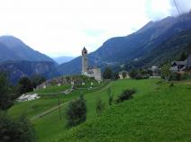
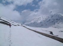
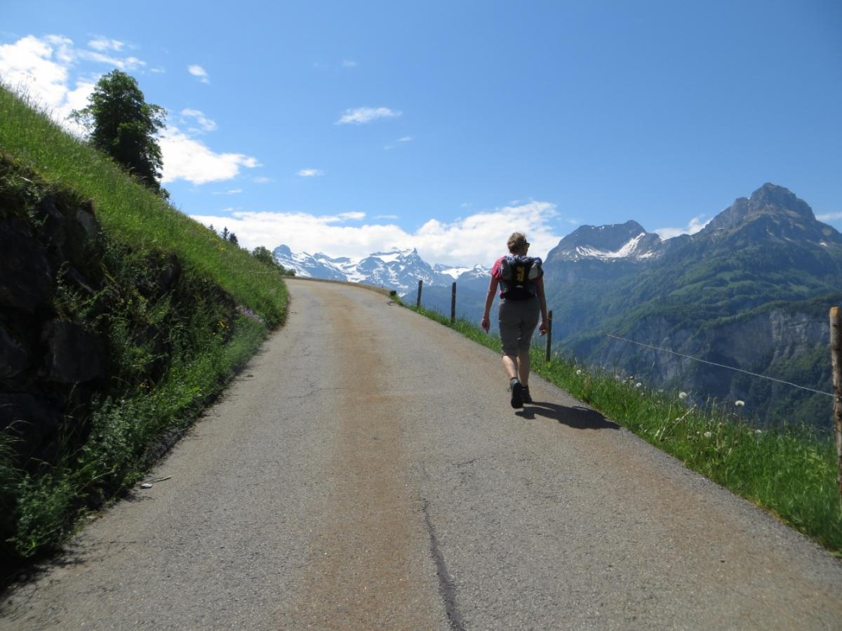
E1 in Switzerland
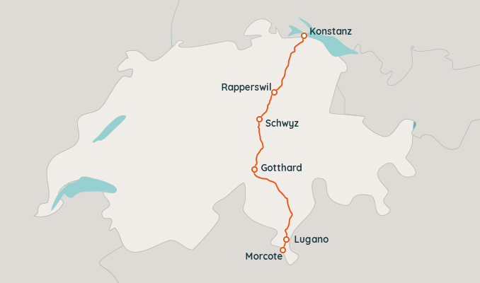
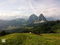
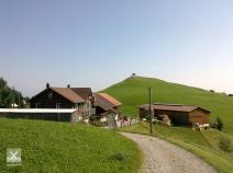
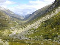
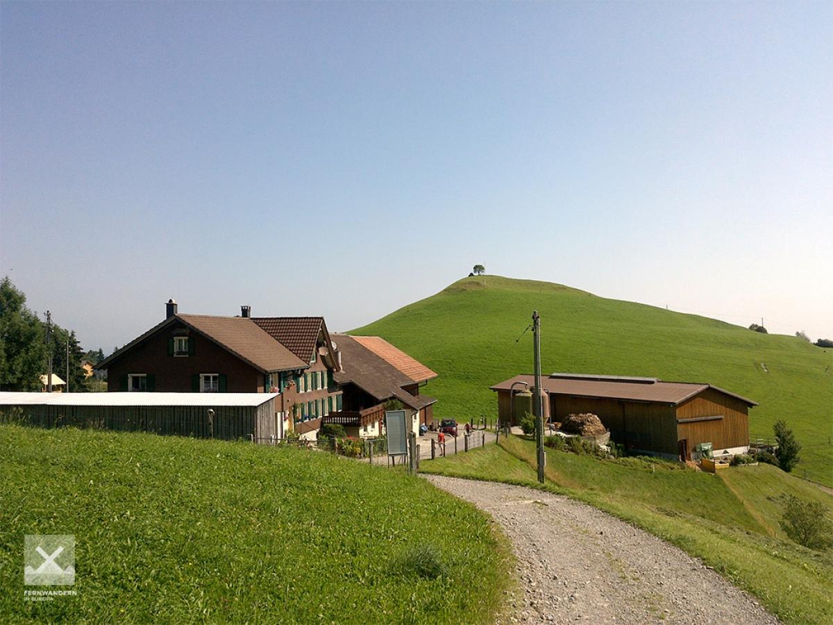
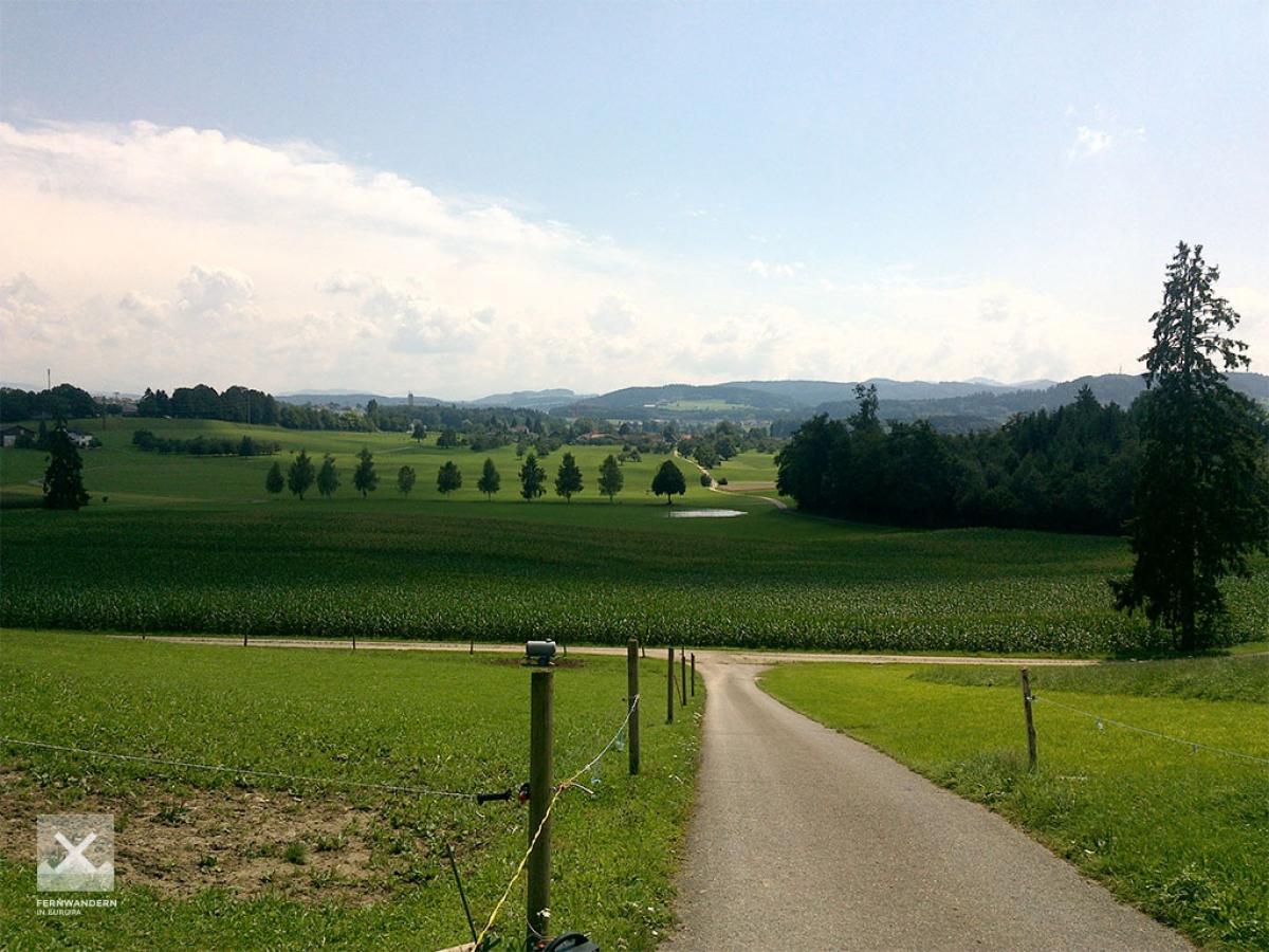
The E1 in Switzerland has a total length of about 310 km and is divided into 15 stages.
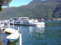
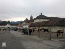
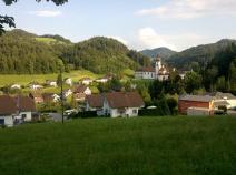
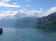
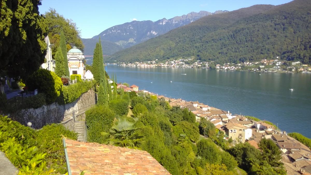
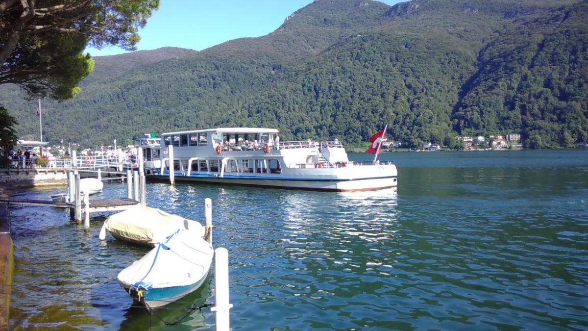
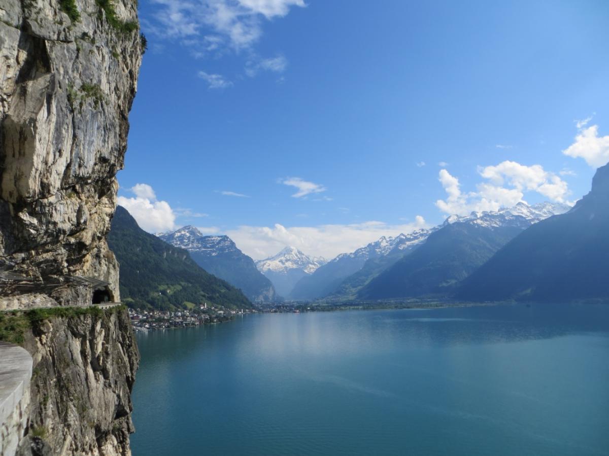
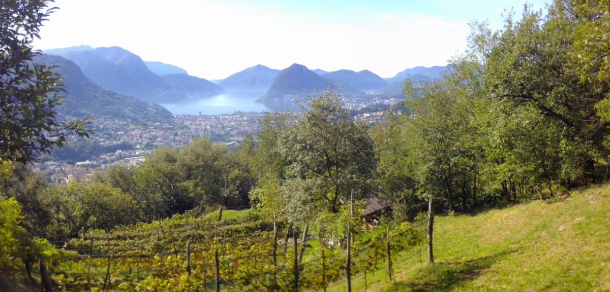
A few years ago the route of the E1 in Northeastern Switzerland was changed and merged with the "Wanderland" routes. The E1 now is identical with the Route 4 (Via Jacobi / "Schwabenweg") until Brunnen and does no longer lead to the villages of Wil and Wattwil. At the Lake Lucerne the trail follows Route 99 ("Swiss Path") between Brunnen and Seedorf and continues on Route 2 (Trans Swiss Trail) to Morcote.
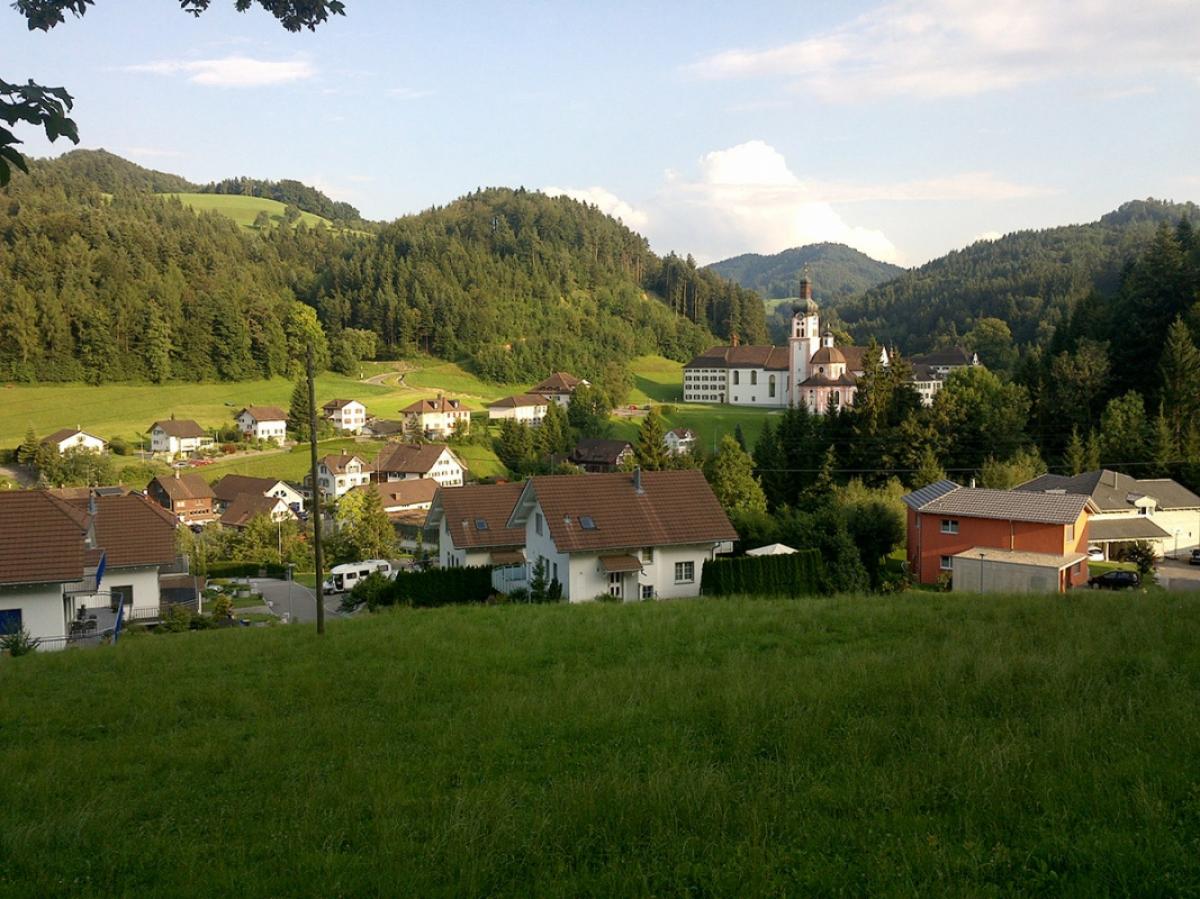
We additionally offer information about the former Route to Einsiedeln.


Stage overview
Links
Links, hiking reports and blogs
Wanderland Schweiz - Online Map
Map of hiking trails, accomodation and train stations
Schweizer Wanderwege (Rambler Association)
bauernhof-ferien.ch: Holiday on a farm / sleeping in the hay
SBB - Schweizerische Bundesbahnen
Public train service
Postauto
Regional and mainline services by bus
wandersite.ch
Information about the zum E1 in Switzerland (old route in the north via Wil / Wattwil) - german
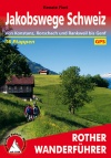
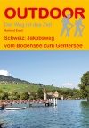
Literature
GPX-Download
| All E1-Stages in Switzerland | Download Tracks (.gpx) |
| Accomodation in Switzerland | Download POIs (.gpx) |
The download and many of the services offered on this page are free of charge. However, I would greatly appreciate a small donation as a token of appreciation for my work! This can be done through Paypal or a supporting membership. Thank you very much!