03.07 Vuomahytta - Gaskashytta
16.9km
Distance
-
Walking time
349m
Total climb
529m
Total descent
Photos


Stage description
N.B.: We don't have an English description of the stage just yet. We'll give you the German version for now until the English version is ready.
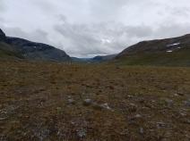
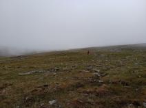
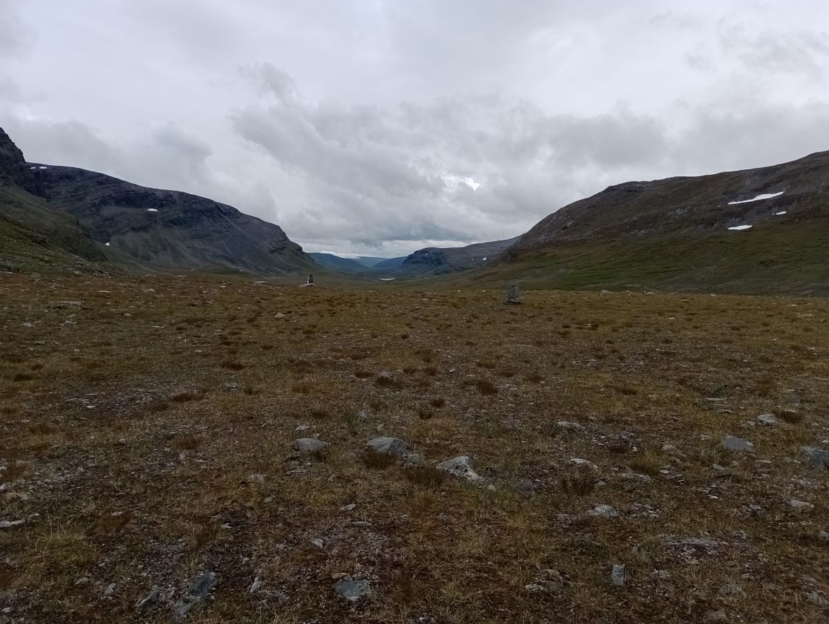
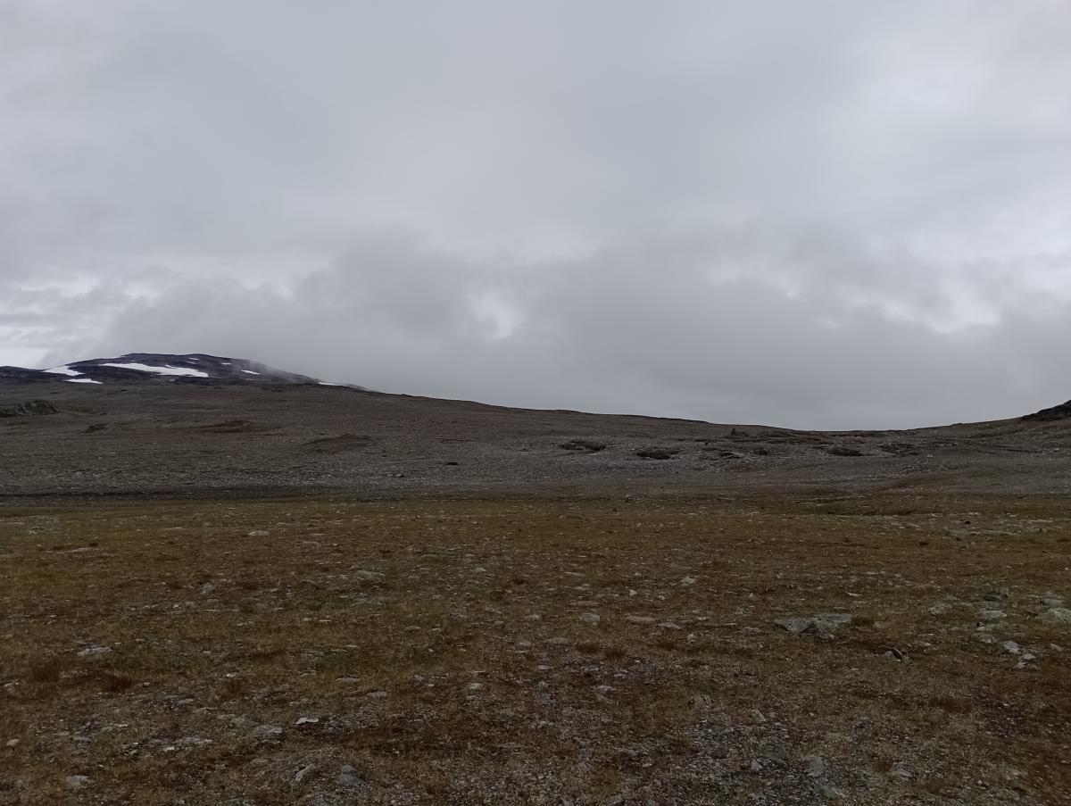
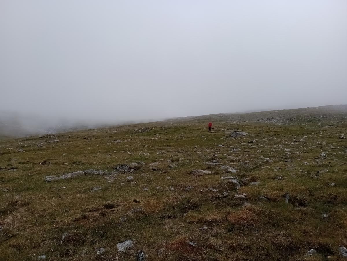
Eine recht kurze und vor allem sehr einfache Etappe durch die karge Gebirgslandschaft. Zumindest bei grauem Wetter ist die Strecke so arm an Eindrücken, dass kaum etwas Erinnernswertes hängen bleibt. Am Ende der Etappe steigt der Weg zum Stromskardet hinab und die Landschaft wird wieder etwas grüner. Vor der Gaskashytta gilt es unbedingt den Wegen zu folgen, um so die Brücke über den Fluss zu erreichen. Auf manchen Karten ist eine Flussquerung weiter nördlich eingezeichnet, die jedoch kaum zu schaffen ist.
The following users contributed to this text:
Hiking maps
No maps added yet
Marking
-
 DNT Hiking Trail (Norway)
Accommodation
| Accommodation | Price group | |||
|---|---|---|---|---|
| 0-200 NOK |
201-400 NOK |
401-600 NOK |
>601 NOK |
|
|
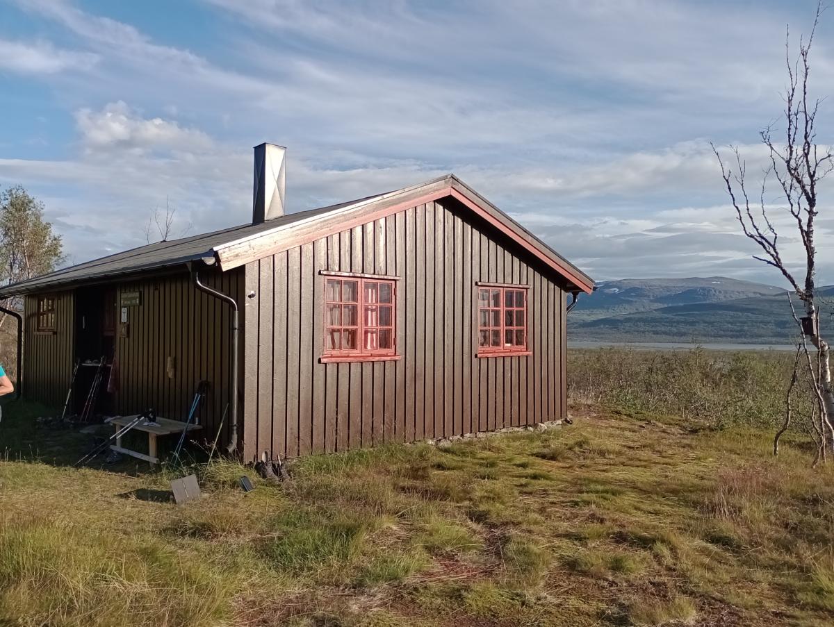
Vuomahytta
Price group:
|
||||
|
Gaskashytta
Price group:
|
||||
Links
DNT - Stage descriptions (PDF)
Detailed information by the DNT about the E1 from North Cape (NO) to Grövelsjön (SE). Including stage descriptions, accomodation, marks and maps. In norwegian language.
Literature
Sources and copyright
Information about accommodation, maps and marking of this stage is based on information by DNT (Den Norske Turistforening) - Published under CC BY-SA 4.0 License GPX track coordinates: © OpenStreetMap contributors. Published under Open Database License (ODbL)GPX-Downloads
You can use the GPX track for navigation and tour planning on your digital device (GPS, smartphone, online tour planner).
| Etappe Stage 03.07 Vuomahytta - Gaskashytta | Download (.gpx) |
| All tracks in Norway, Finland and Sweden | Download (.zip) |
The download and many of the services offered on this page are free of charge. However, I would greatly appreciate a small donation as a token of appreciation for my work! This can be done through Paypal or a supporting membership. Thank you very much!