06.12 Gaundalen - Sætertjønnhytta
26.7km
Distance
-
Walking time
433m
Total climb
479m
Total descent
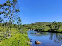
Photos
Stage description
N.B.: We don't have an English description of the stage just yet. We'll give you the German version for now until the English version is ready.
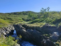
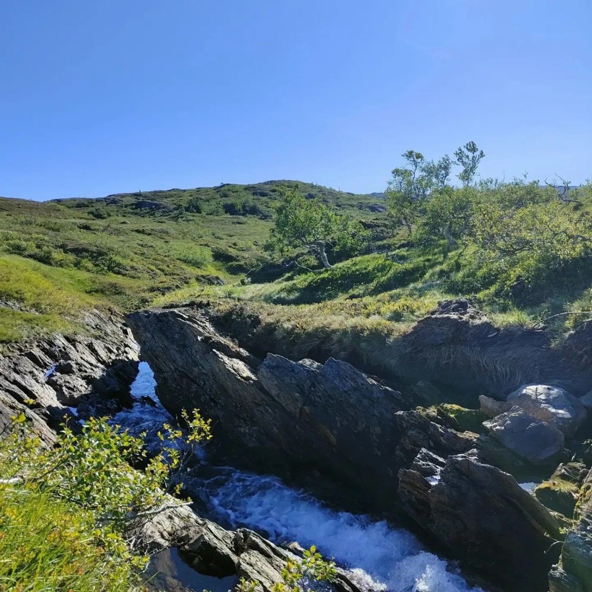
Die Etappe ist nicht markiert. Am besten sollte man versuchen, in der Höhe zu bleiben, weil es relativ sumpfig sein kann.
Die erste Flussüberquerung relativ schwierig (nach Norden)
Hiking maps
No maps added yet
Marking
Stage is not marked.
Accommodation
| Accommodation | Price group | |||
|---|---|---|---|---|
| 0-200 NOK |
201-400 NOK |
401-600 NOK |
>601 NOK |
|
|
Gaundalen Fjellgård
Price group:
|
||||
|
Setertjønnhytta
Price group:
|
||||
Sources and copyright
Information about accommodation, maps and marking of this stage is based on information by DNT (Den Norske Turistforening) - Published under CC BY-SA 4.0 License GPX track coordinates: © OpenStreetMap contributors. Published under Open Database License (ODbL)GPX-Downloads
You can use the GPX track for navigation and tour planning on your digital device (GPS, smartphone, online tour planner).
| Etappe Stage 06.12 Gaundalen - Sætertjønnhytta | Download (.gpx) |
| All tracks in Norway, Finland and Sweden | Download (.zip) |
The download and many of the services offered on this page are free of charge. However, I would greatly appreciate a small donation as a token of appreciation for my work! This can be done through Paypal or a supporting membership. Thank you very much!