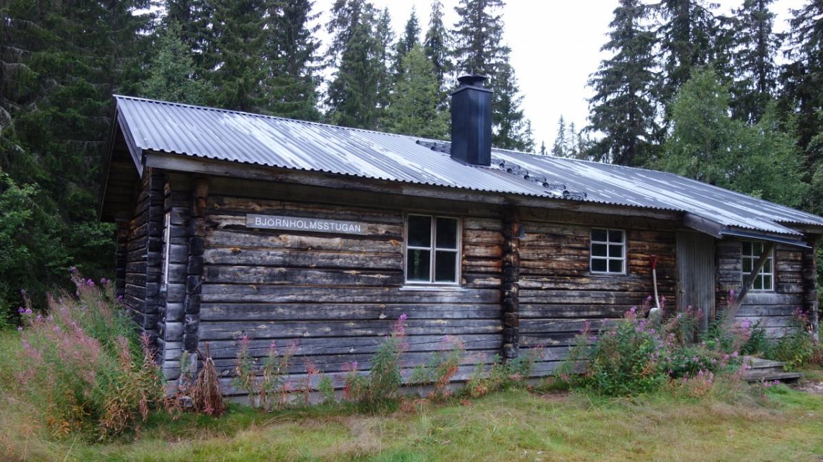
08.07 Björnholmstugan - Närfjällsstugan
22.1km
Distance
-
Walking time
1103m
Total climb
811m
Total descent
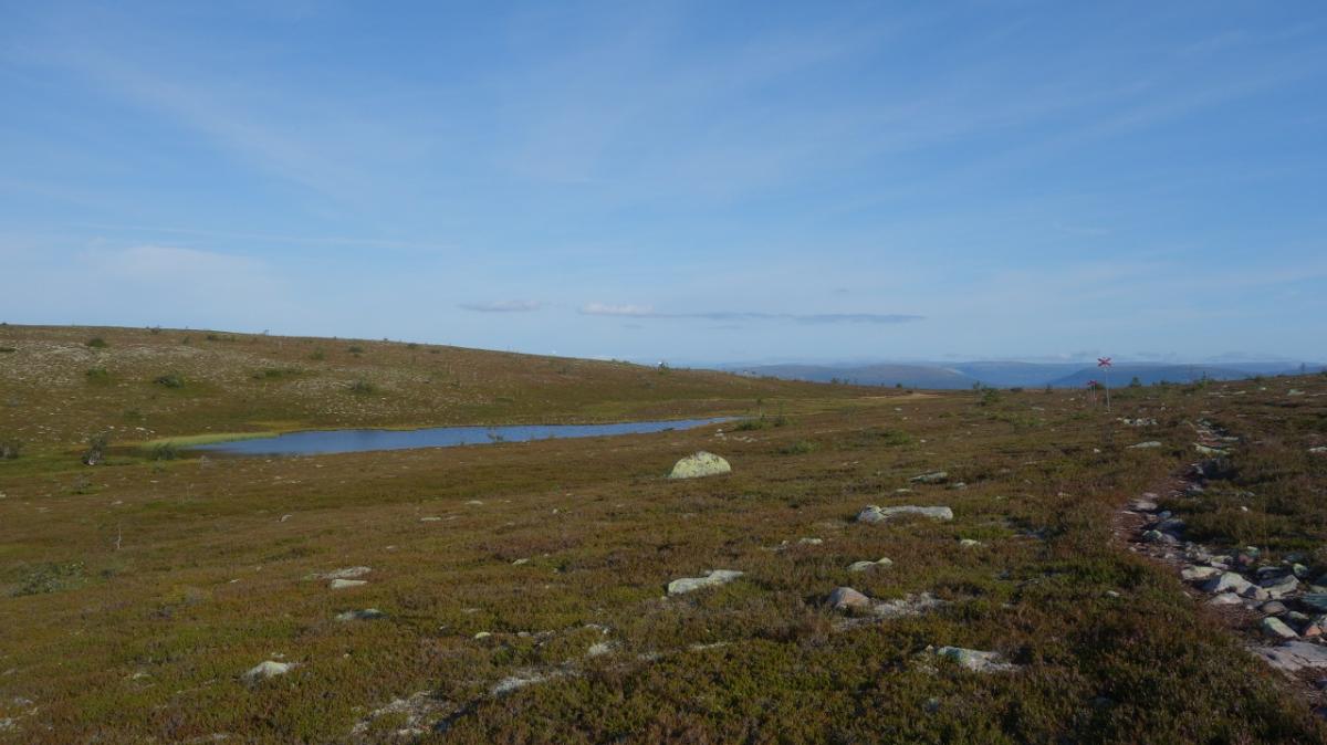
Photos

Stage description
N.B.: We don't have an English description of the stage just yet. We'll give you the German version for now until the English version is ready.
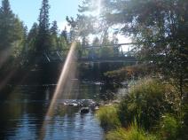
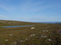
diese Etappe führt vom Fjäll hinab ins Tal des Göralvjen und wieder hinauf ins Fjäll.
The following users contributed to this text:
Hiking maps
No maps added yet
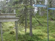
Marking
-
 Hiking trail (Sweden)
Accommodation
| Accommodation | Price group | |||
|---|---|---|---|---|
| 0-200 SEK |
201-400 SEK |
401-600 SEK |
>600 SEK |
|
|
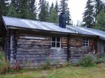
Björnholmsstugan
Price group:
|
||||
|
Lilldalsstugan
Price group:
|
||||
|
Vindskydd Skarsåsskjulet
Price group:
|
||||
|
Granfjällssätern
Price group:
|
||||
|
Närfjällsstugan
Price group:
|
||||
Links
Flyer about souther Kungsleden (PDF)
General information, overview map and information about huts and shelters
Literature

Sources and copyright
GPX track coordinates: © OpenStreetMap contributors. Published under Open Database License (ODbL)GPX-Downloads
You can use the GPX track for navigation and tour planning on your digital device (GPS, smartphone, online tour planner).
| Etappe Stage 08.07 Björnholmstugan - Närfjällsstugan | Download (.gpx) |
| All tracks in Norway, Finland and Sweden | Download (.zip) |
The download and many of the services offered on this page are free of charge. However, I would greatly appreciate a small donation as a token of appreciation for my work! This can be done through Paypal or a supporting membership. Thank you very much!