01.03 Vester Pollen (North Cape Tunnel) - Vardancohka
25.5km
Distance
-
Walking time
644m
Total climb
426m
Total descent
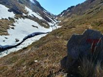
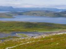
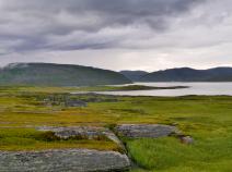
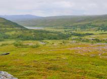
Photos
Stage description
Attention, the following short route description is currently written from south to north:
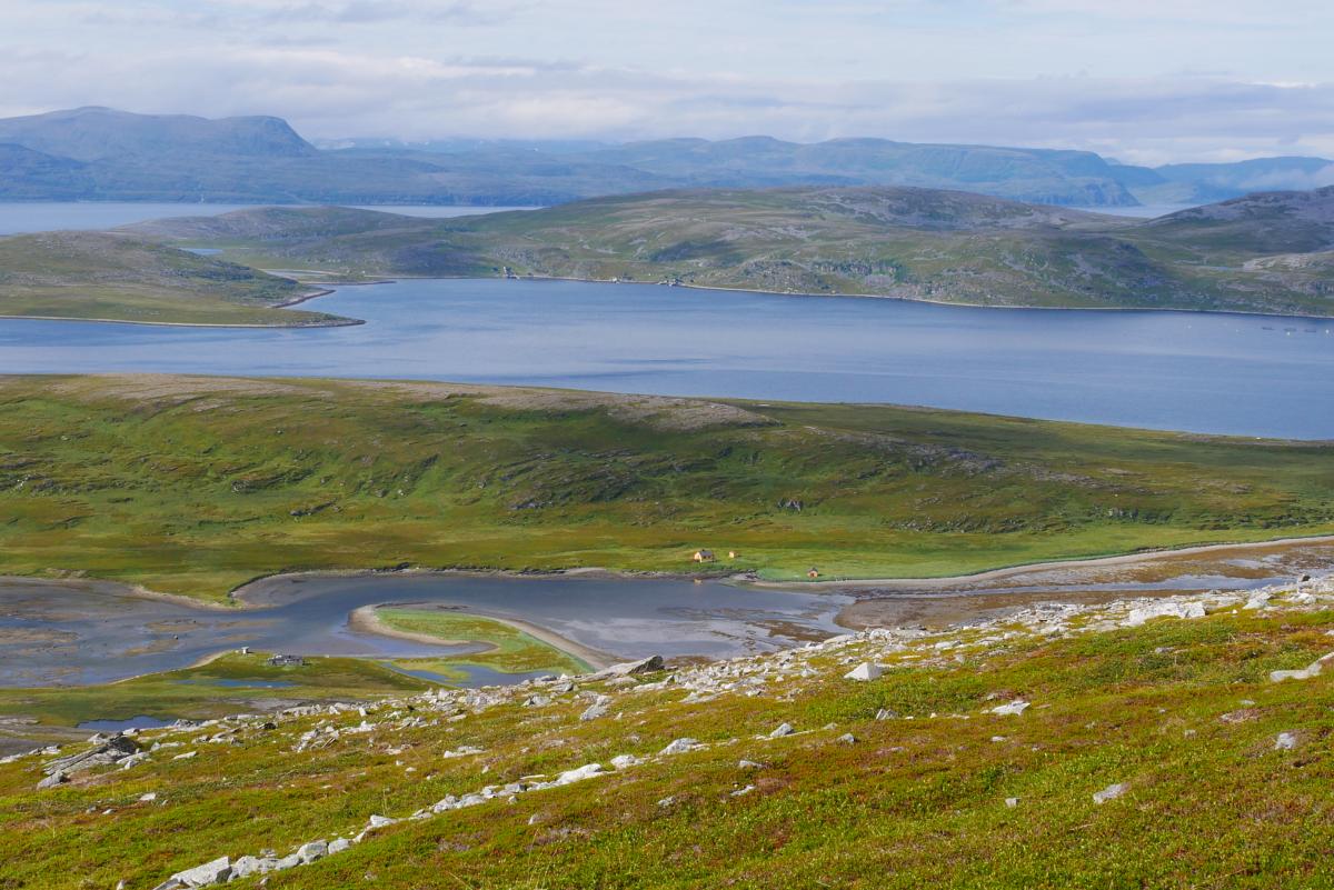
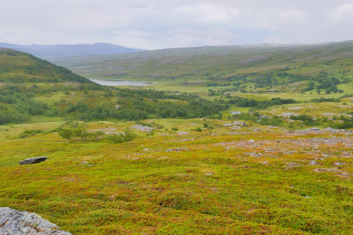
Soon after the Vardancokha, the path is again oriented towards a reindeer fence. It now heads towards the sea and at a left bend of the fence it passes over it and continues in a wide bend towards the (right) bay. A small stream in a comparatively deep gorge has to be crossed. Shortly afterwards you have already reached sea level and it goes along the sea for a few kilometres. The path leaves the bay and after another easy river crossing it follows an ATV track or the remains of a former power line. It goes again up to the sea and after another river crossing steeply uphill on another ATV track. In the upper part of the valley, which already leads to the tunnel, the most challenging stream of the day is waiting to be crossed back to the original side. But it does not seem to make sense to stay on the western side. As a compensation, a dream view to the island Mageroya and Honningsvag is waiting. Also the tunnel entrance is already very close and the descent is accordingly steep and in bad weather very slippery. Then, as already mentioned, the brook waits at the bottom again. After that it is only a few minutes to the tunnel.
Hiking maps
No maps added yet
Marking
-
 DNT Hiking Trail (Norway)
Accommodation
| Accommodation | Price group | |||
|---|---|---|---|---|
| 0-200 NOK |
201-400 NOK |
401-600 NOK |
>601 NOK |
|
|
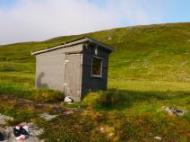
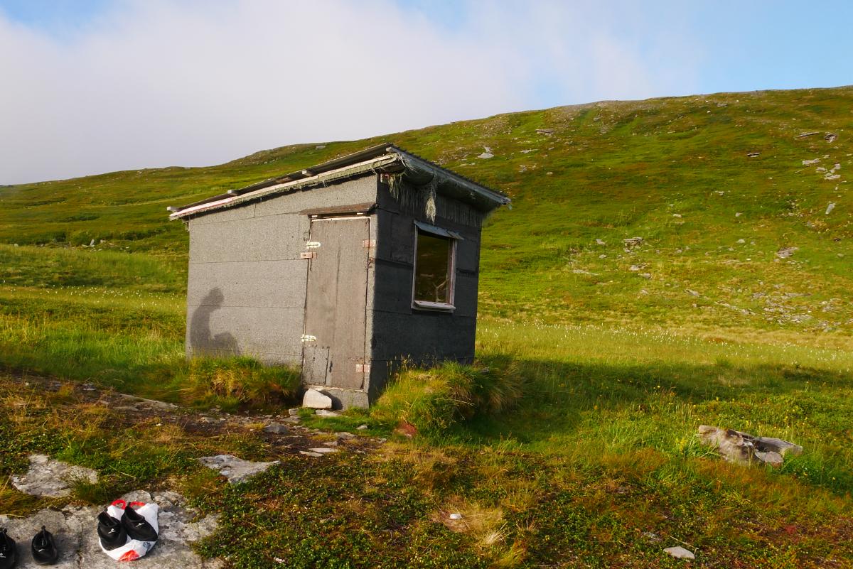
Várdáncokka
Vardancohka
Price group:
|
||||
Links
DNT - Stage descriptions (PDF)
Detailed information by the DNT about the E1 from North Cape (NO) to Grövelsjön (SE). Including stage descriptions, accomodation, marks and maps. In norwegian language.
Literature
Sources and copyright
Information about accommodation, maps and marking of this stage is based on information by DNT (Den Norske Turistforening) - Published under CC BY-SA 4.0 License GPX track coordinates: © OpenStreetMap contributors. Published under Open Database License (ODbL)GPX-Downloads
You can use the GPX track for navigation and tour planning on your digital device (GPS, smartphone, online tour planner).
| Etappe Stage 01.03 Vester Pollen (North Cape Tunnel) - Vardancohka | Download (.gpx) |
| All tracks in Norway, Finland and Sweden | Download (.zip) |
The download and many of the services offered on this page are free of charge. However, I would greatly appreciate a small donation as a token of appreciation for my work! This can be done through Paypal or a supporting membership. Thank you very much!