10.01 Stenkällegården-Forsvik
27.4km
Distance
-
Walking time
591m
Total climb
614m
Total descent
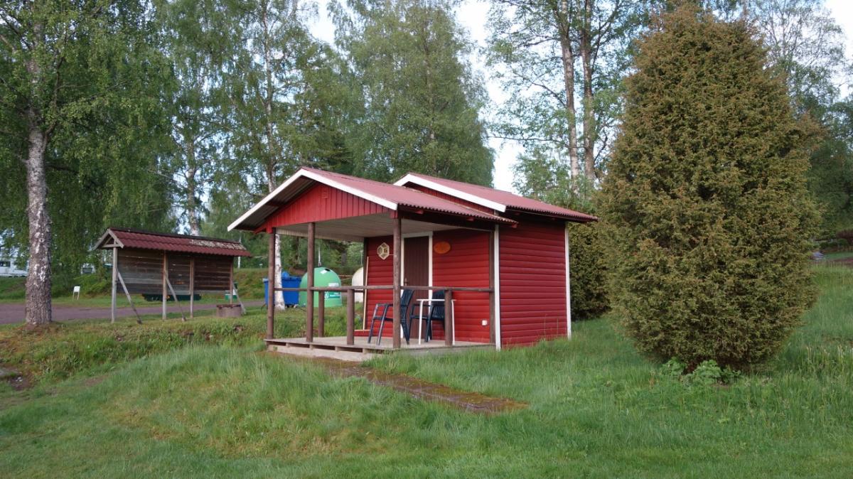
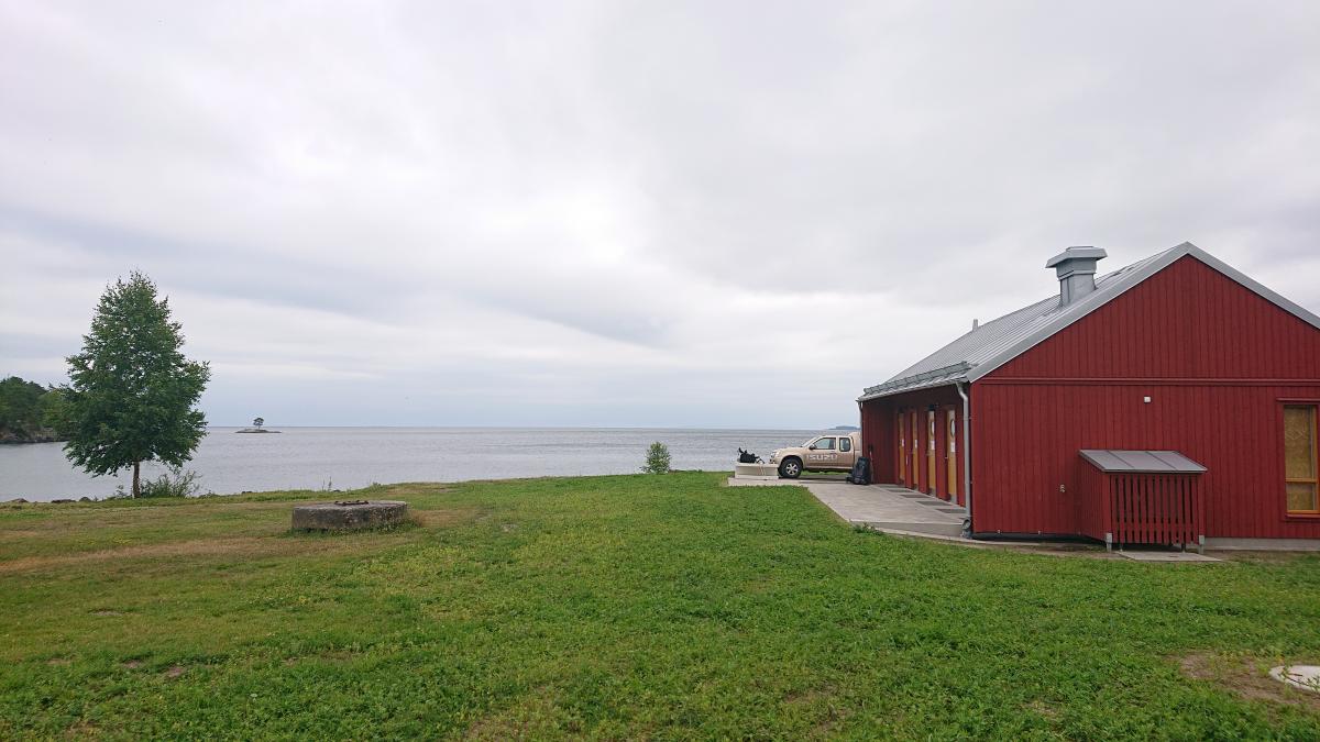
Photos

Stage description
N.B.: We don't have an English description of the stage just yet. We'll give you the German version for now until the English version is ready.
Hinweis: Es war nicht ganz einfach, den genauen Verlauf dieser Etappe zu recherchieren. Der GPS-Track sollte grob den korrekten Wegverlauf abbilden, kann aber im Detail ungenau sein.
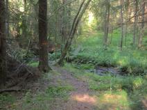
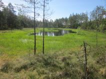
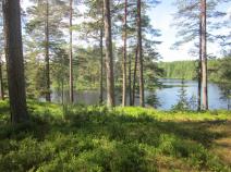
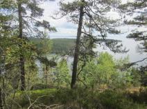
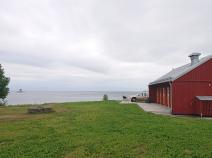
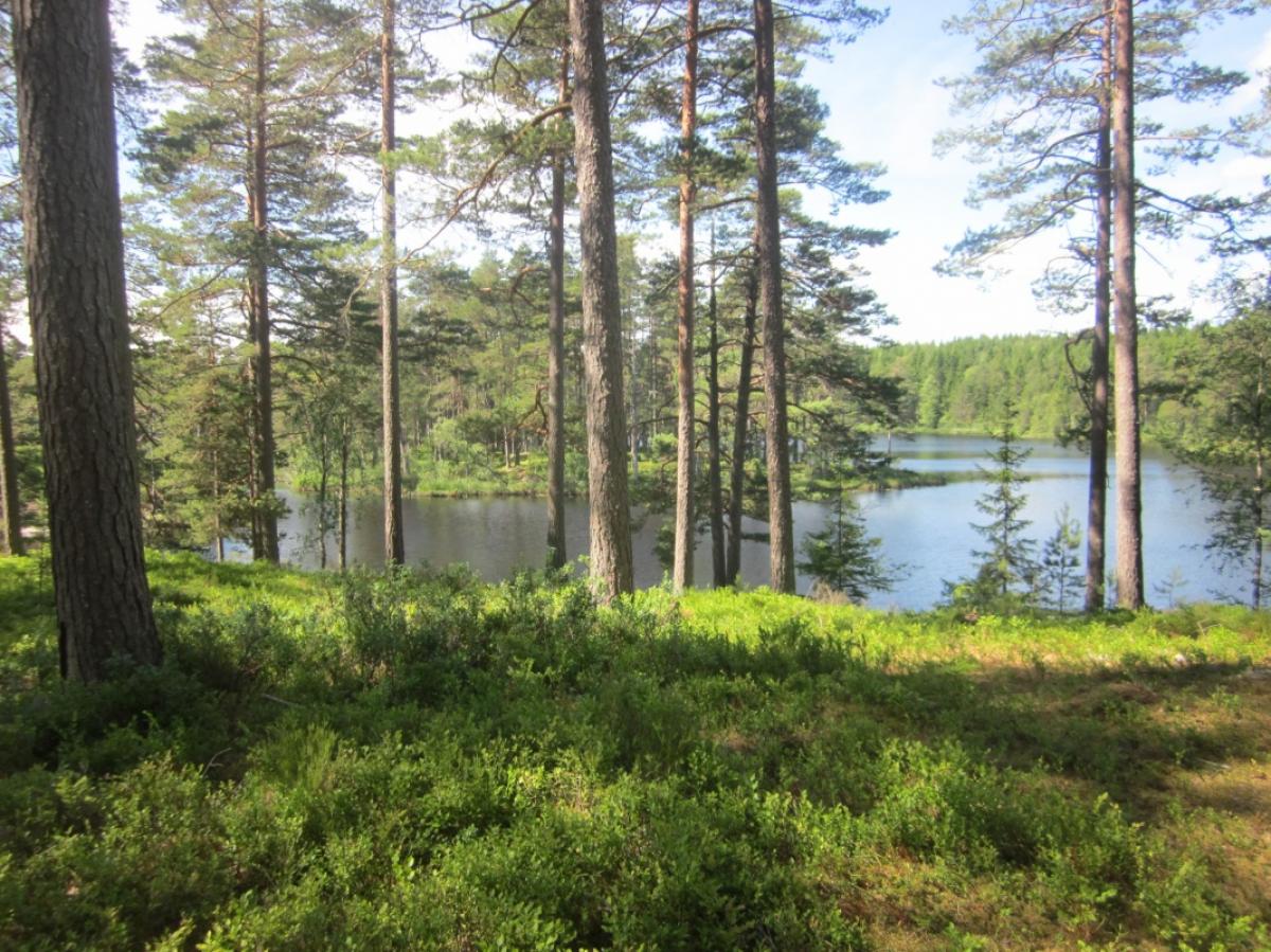
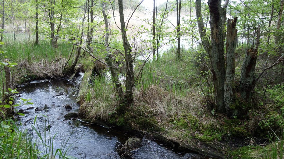
Eine Etappe, die gespickt ist mit Naturschutzgebieten und schönen Blicken über den riesigen Vätternsee.
Interessant, aber da es überwiegend über schmale Pfade geht, sehr anstrengend.
In Stenkällegården beginnt / endet der Västra Vätternleden.
Hiking maps
No maps added yet
Marking
-
 Hiking trail (Sweden)
Accommodation
| Accommodation | Price group | |||
|---|---|---|---|---|
| 0-200 SEK |
201-400 SEK |
401-600 SEK |
>600 SEK |
|
|
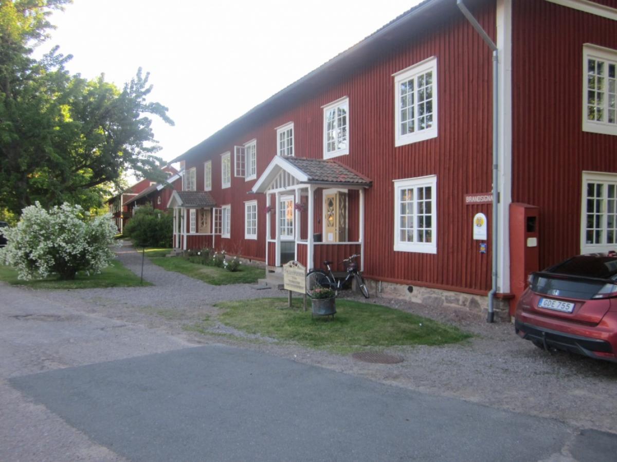
Stenkällegården - Camping i Tiveden
Karlsborg
Price group:
|
||||
|
Stora Djäknasjön Vindskydd
Price group:
|
||||
|
Granviks Vandrarhem
Karlsborg
Price group: SEK 200-400
|
|
|||
|
Stora Kalven Vindskydd
Price group:
|
||||
|
Forsviks Vandrarhem
Forsvik
Price group:
|
||||
Links
Västra Vätterleden
Stage descriptions and maps for "Västra Vätterleden" trail (swedish)
http://www.skaraborgsleder.se/vandring/se_vandring_vastra_vatterleden.html
GPX-Downloads
You can use the GPX track for navigation and tour planning on your digital device (GPS, smartphone, online tour planner).
| Etappe Stage 10.01 Stenkällegården-Forsvik | Download (.gpx) |
| All tracks in Norway, Finland and Sweden | Download (.zip) |
The download and many of the services offered on this page are free of charge. However, I would greatly appreciate a small donation as a token of appreciation for my work! This can be done through Paypal or a supporting membership. Thank you very much!