11.07a Åkulla - Varberg
22.1km
Distance
-
Walking time
145m
Total climb
238m
Total descent
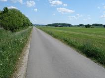
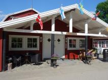
Photos
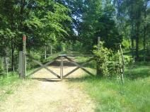
Stage description
N.B.: We don't have an English description of the stage just yet. We'll give you the German version for now until the English version is ready.
Hinweis: In Varberg endete bis Anfang 2020 die letzte Etappe des E1 auf der skandinavischen Halbinsel. Seitdem verkehrt die Fähre nach Dänemark ab Halmstad.
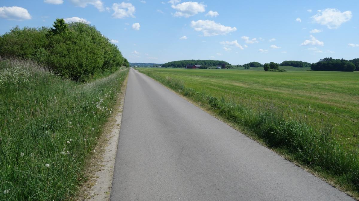
Wer aus südlicher Richtung kommt, bzw. hier auf dem E1 nach Norden startet, hat eine ideale Etappe zum Einlaufen. Sie bietet aber außer geraden Wegen auf Asphalt oder Schotter nichts Herausragendes.
Wer mag, kürzt die Etappe mit dem Bus ab (Linie 669). Ab Varberg: Mo-So: 9:40, 11:40, 14:20, 16:20. Bis Stationsvägen sind es 17 Minuten. Zu Fuß ist man da schon einiges länger unterwegs.
Nimmt man den Bus, schafft man es (von Süd nach Nord) ab Varberg bis zu einem Shelter. Geht man zu Fuß, übernachtet man am Besten im Åkulla Friluftsgard (Hütte für <30€).
Hiking maps
No maps added yet
Marking
-
 Hiking trail (Sweden)
Accommodation
There is currently no accommodation listed for this stage.
Do you know a recommended accommodation for this stage? We are happy about your hint. Please leave a comment or send us an
Links
hallandsleden.se
Information about Hallandsleden in Swedish, German and English.
Sources and copyright
GPX track coordinates: © OpenStreetMap contributors. Published under Open Database License (ODbL)GPX-Downloads
You can use the GPX track for navigation and tour planning on your digital device (GPS, smartphone, online tour planner).
| Etappe Stage 11.07a Åkulla - Varberg | Download (.gpx) |
| All tracks in Norway, Finland and Sweden | Download (.zip) |
The download and many of the services offered on this page are free of charge. However, I would greatly appreciate a small donation as a token of appreciation for my work! This can be done through Paypal or a supporting membership. Thank you very much!