10.02 Forsvik - Mölltorp
11.9km
Distance
-
Walking time
318m
Total climb
306m
Total descent
Photos

Stage description
N.B.: We don't have an English description of the stage just yet. We'll give you the German version for now until the English version is ready.
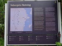
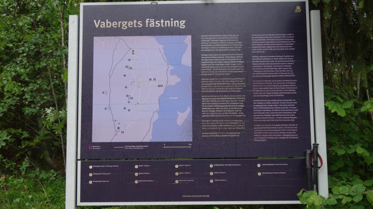
Eine spannende Etappe! Nördlich von Mölltorp geht es einen Hügel hinauf. Hier sind alte Festungsanlagen zu besichtigen (Vabergets fästning), die hier vor dem ersten Weltkrieg errichtet wurden, um das nahe Karlsborg zu schützen. Doch gebraucht wurde sie nie. Heute sind noch ein paar Reste zu bewundern und wer Zeit hat (welcher Fernwanderer hat schon Zeit...), sollte sich hier ein wenig umschauen. Auf jeden Fall sollte man den Aussichtsturm nicht auslassen!
Also nicht die Abkürzung um den Hügel wählen, sondern oben rüber!
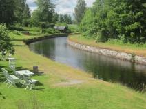
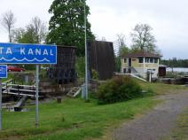
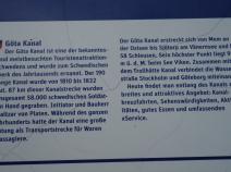
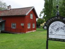
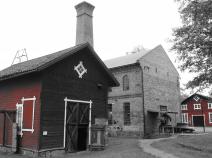
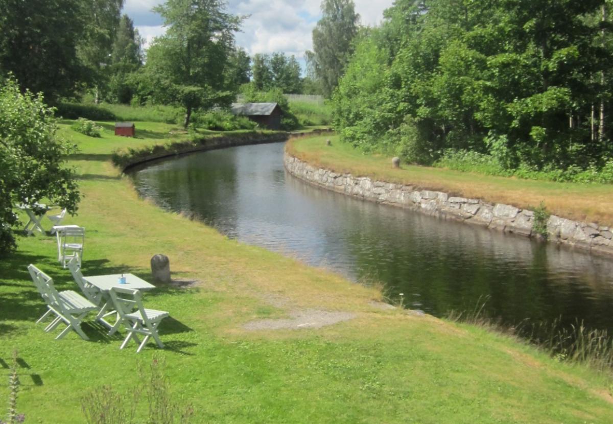
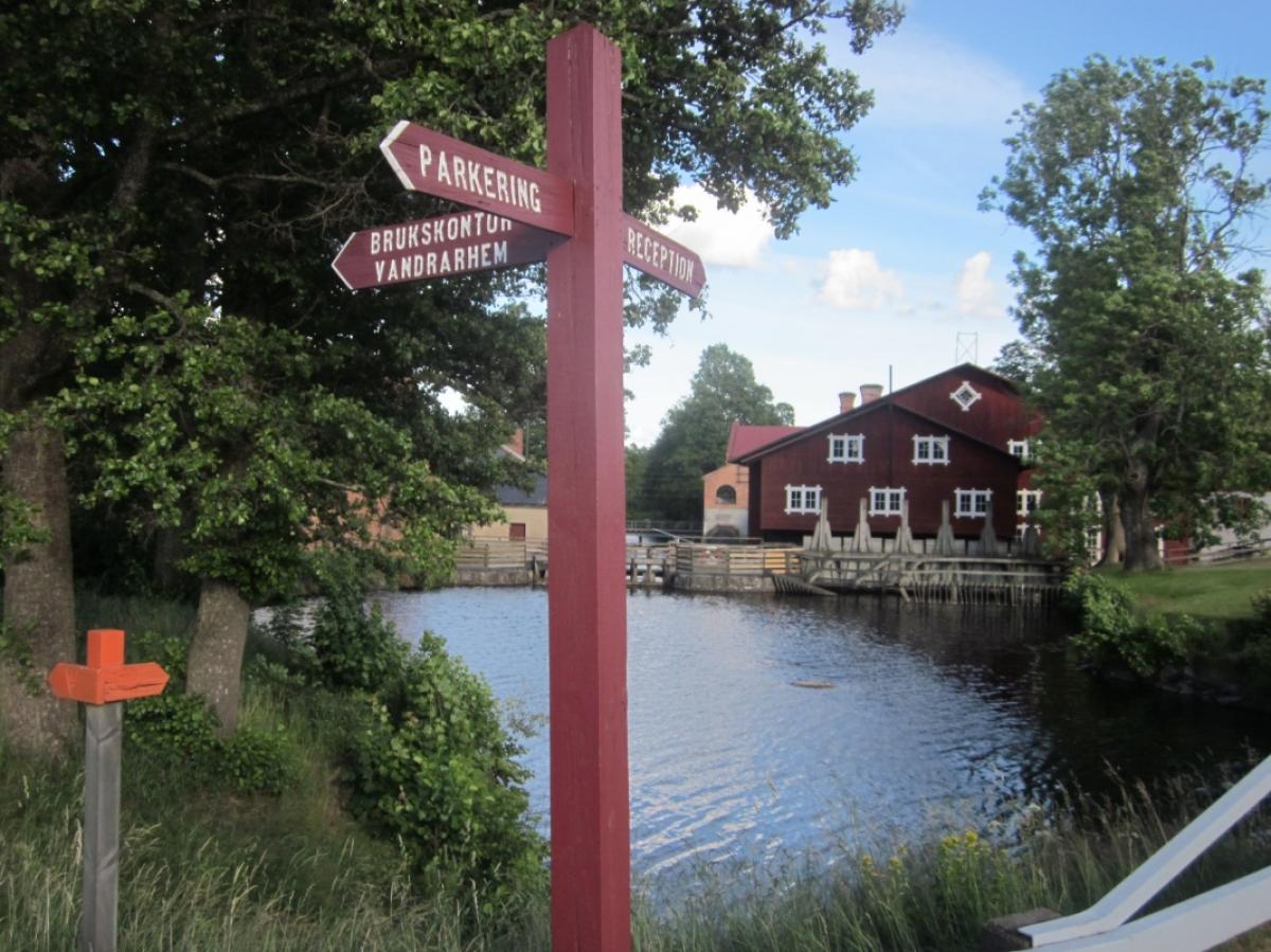
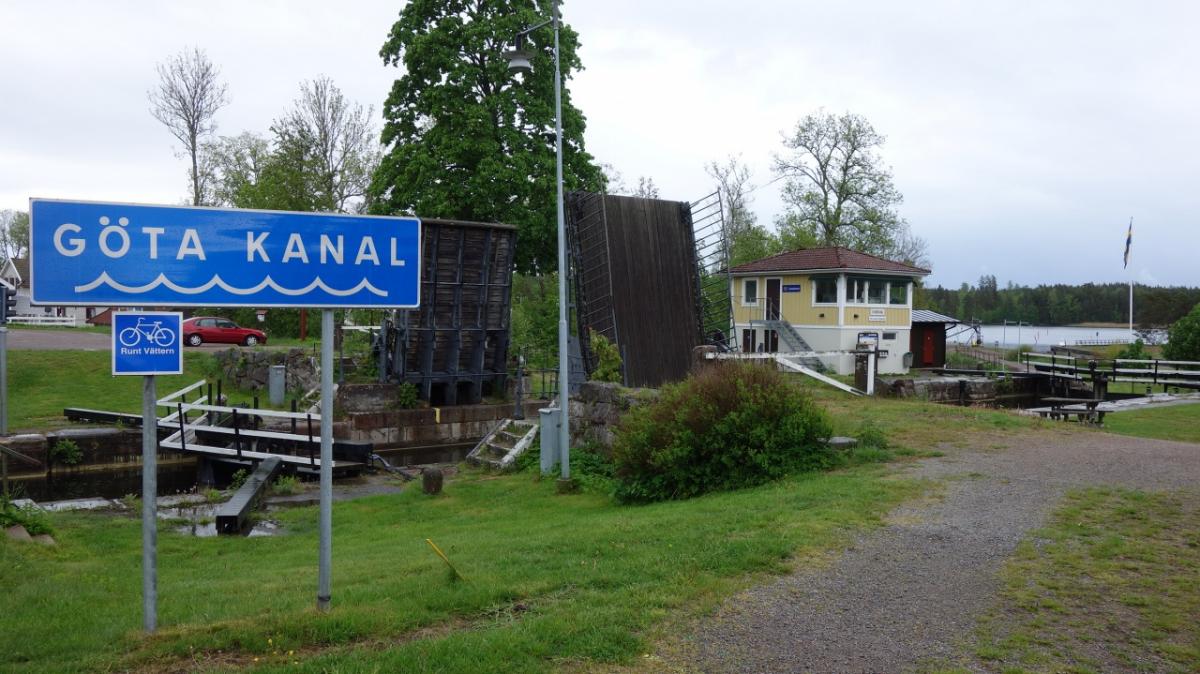
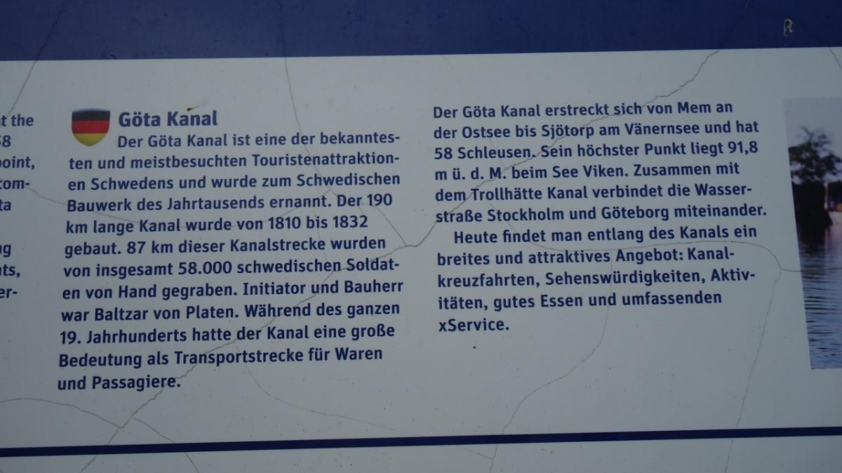
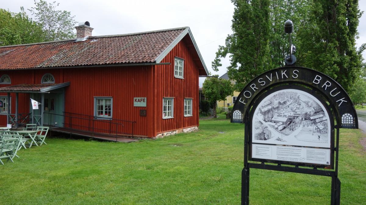
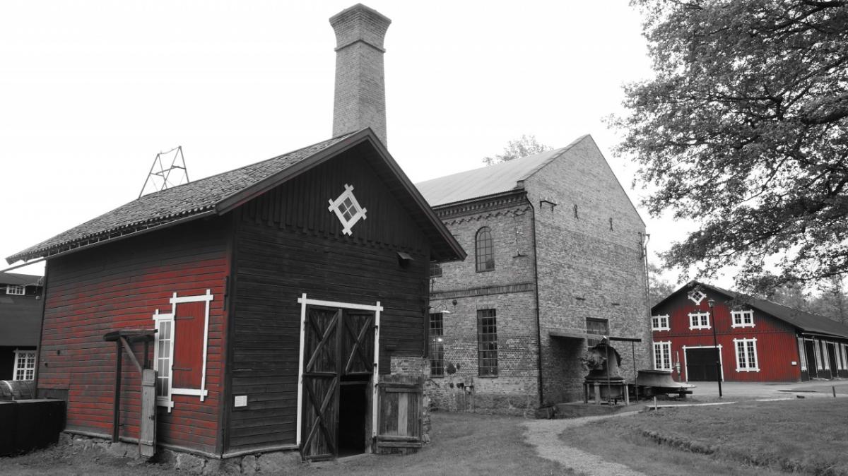
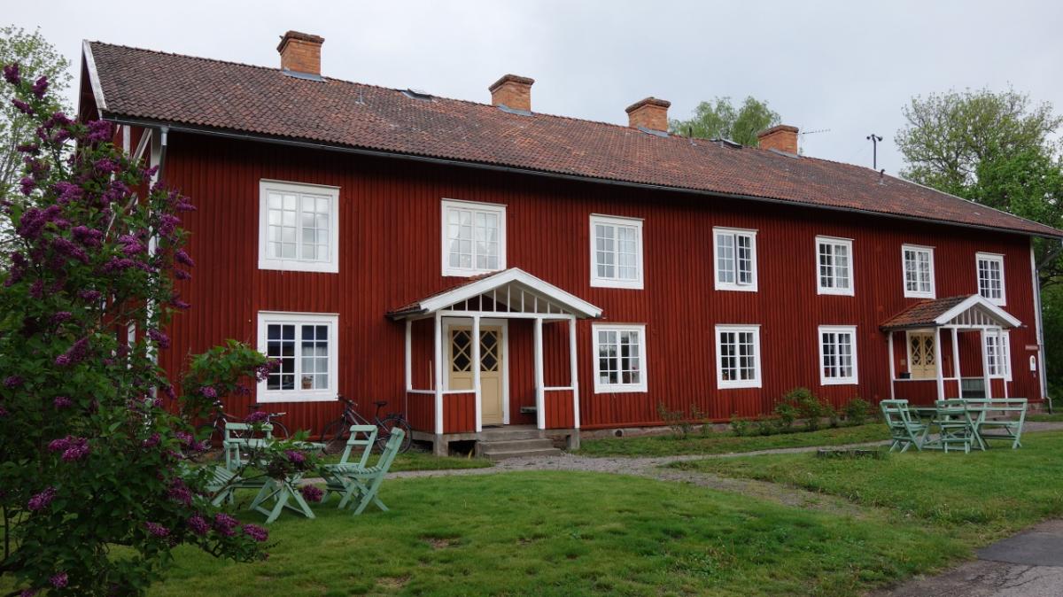
Am Ende / Anfang der Etappe begegnet man in Forsvik de bekannte Götakanal. Hier gibt es nicht nur das Café Anna, in dem es leckeren Kuchen gibt (und den Schlüssel für das STF Hostell), sondern auch Forsvik Bruk Industriemuseum. Eintritt ist frei. Auch hier sollte man sich etwas Zeit nehmen, um die Exponate zu bestaunen. Forsvik war früher ein kleiner Industriestandort. Die Schiffskrise der 1980er brachte die Aktivitäten zum Erliegen. Auch der Götakanal hat seine Bedeutung verloren. So träumt Forsvik heute vor sich hin und wird im Sommer gerne von Touristen besucht.
The following users contributed to this text:
Hiking maps
No maps added yet
Marking
-
 Hiking trail (Sweden)
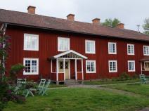
Accommodation
| Accommodation | Price group | |||
|---|---|---|---|---|
| 0-200 SEK |
201-400 SEK |
401-600 SEK |
>600 SEK |
|
|
Forsviks Vandrarhem
Forsvik
Price group:
|
||||
|
Bergsudden Vindskydd
Price group:
|
||||
Links
Västra Vätterleden
Stage descriptions and maps for "Västra Vätterleden" trail (swedish)
http://www.skaraborgsleder.se/vandring/se_vandring_vastra_vatterleden.html
Sources and copyright
GPX track coordinates: © OpenStreetMap contributors. Published under Open Database License (ODbL)GPX-Downloads
You can use the GPX track for navigation and tour planning on your digital device (GPS, smartphone, online tour planner).
| Etappe Stage 10.02 Forsvik - Mölltorp | Download (.gpx) |
| All tracks in Norway, Finland and Sweden | Download (.zip) |
The download and many of the services offered on this page are free of charge. However, I would greatly appreciate a small donation as a token of appreciation for my work! This can be done through Paypal or a supporting membership. Thank you very much!