08.02 Skärvagan - Busjön
21.1km
Distance
-
Walking time
698m
Total climb
573m
Total descent
Photos
Stage description
N.B.: We don't have an English description of the stage just yet. We'll give you the German version for now until the English version is ready.
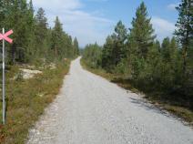
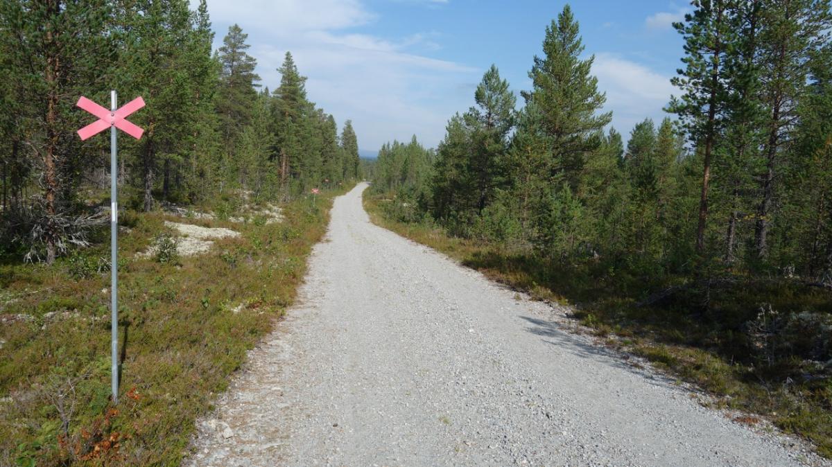
Bis nach Flötningen ist es einfach und schnell auf Schotterpisten zu gehen. Das ist auch mal ganz schön.
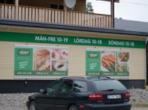
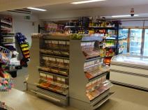
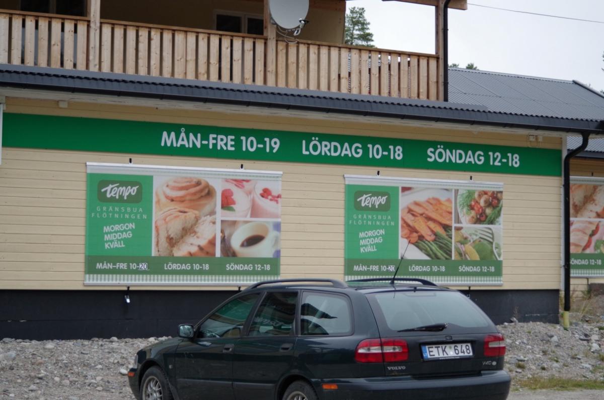
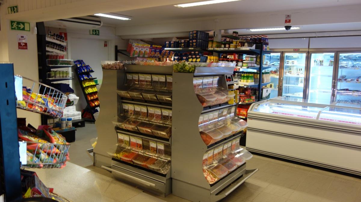
In Flötningen wartet der Supermarkt Gransbua, der wohl vom Grenzverkehr mit Norwegen lebt. Dem Wanderer soll's recht sein, denn hier gibt es allerlei. Viel Schokolade, Sandwiches zum Aufbacken, Eis usw. Leider keine Trekkingnahrung.
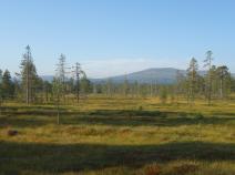
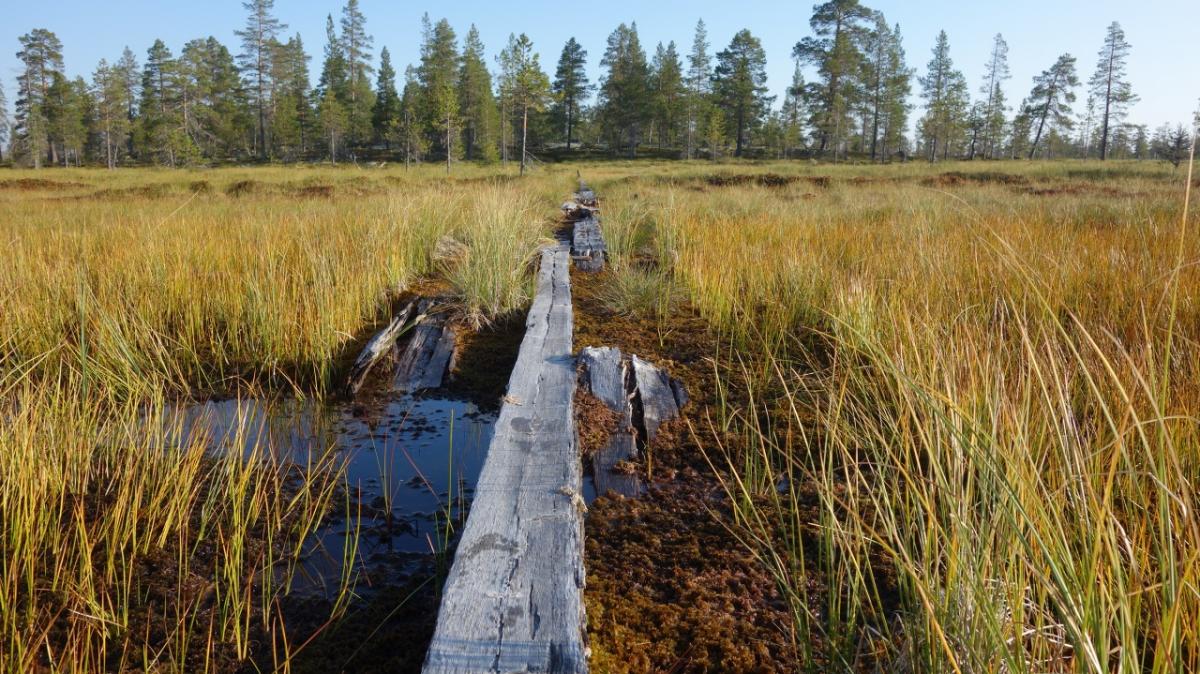
Das Naturreservat Drevfjällens beginnt hier, die Schotterpiste geht in schmale Wanderpfade über. Es geht durch recht hoch gewachsenen Krüppelwald, unter 800 Höhenmetern haben die Bäume noch mehr Kraft zum Wachsen als später weiter oben.
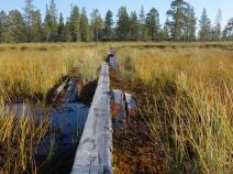
Der Pfad ist recht schlecht und ist nachlässig markiert. Es gibt einige Moorflächen, über die keine Planken gelegt sind. Hier können die Stiefel schon mal volllaufen, wenn es zuvor stark geregnet hat.
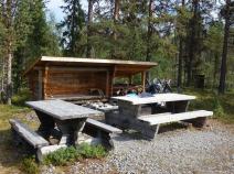
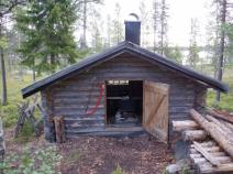
Am Busjön - kurz vor der Schutzhütte - liegt eine alte Sennerei.
Hiking maps
No maps added yet
Marking
-
 Hiking trail (Sweden)
Accommodation
| Accommodation | Price group | |||
|---|---|---|---|---|
| 0-200 SEK |
201-400 SEK |
401-600 SEK |
>600 SEK |
|
|
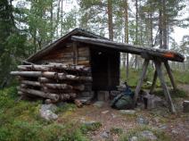
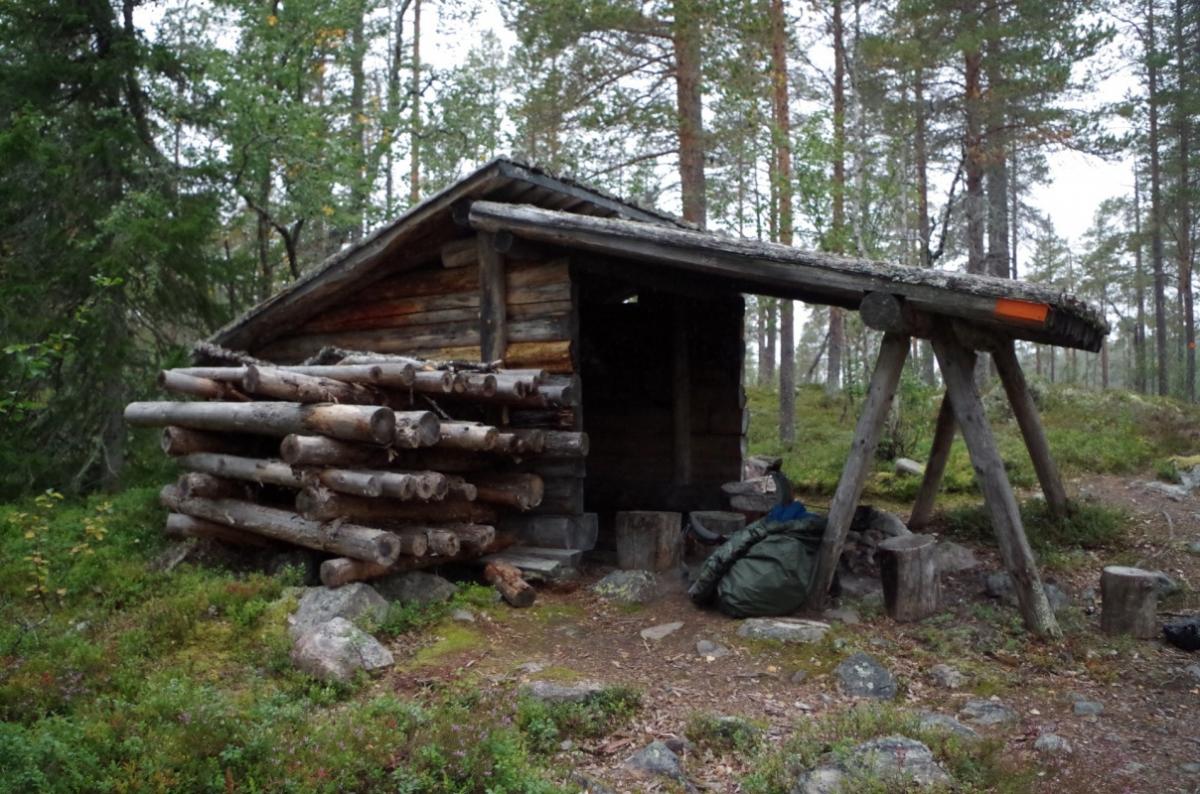
Vindskydd Skärvagan
Price group:
|
||||
|
Vindskydd Gårdsjödalen
Price group:
|
||||
|
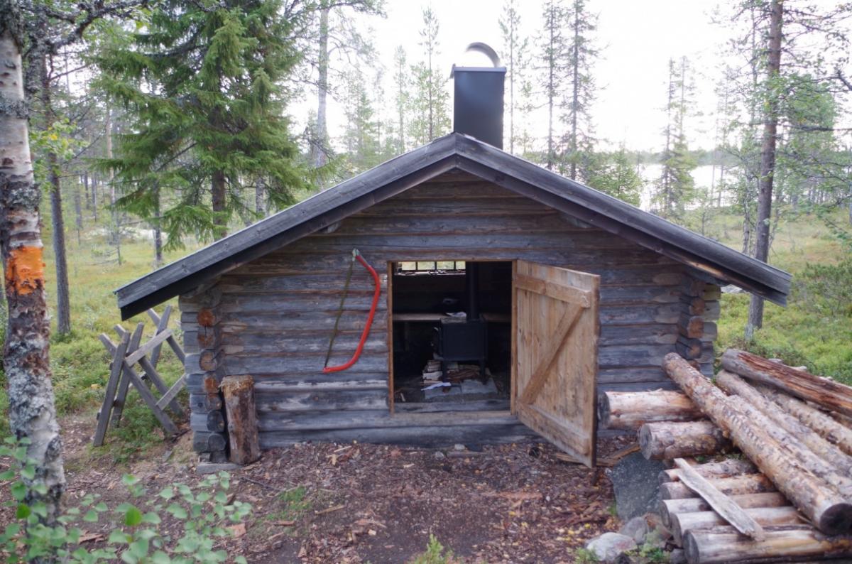
Busjön
Price group:
|
||||
Links
Flyer about souther Kungsleden (PDF)
General information, overview map and information about huts and shelters
Literature

GPX-Downloads
You can use the GPX track for navigation and tour planning on your digital device (GPS, smartphone, online tour planner).
| Etappe Stage 08.02 Skärvagan - Busjön | Download (.gpx) |
| All tracks in Norway, Finland and Sweden | Download (.zip) |
The download and many of the services offered on this page are free of charge. However, I would greatly appreciate a small donation as a token of appreciation for my work! This can be done through Paypal or a supporting membership. Thank you very much!