03.04 Rostahytta - Dærtahytta
16.3km
Distance
-
Walking time
651m
Total climb
380m
Total descent
Photos

Stage description
N.B.: We don't have an English description of the stage just yet. We'll give you the German version for now until the English version is ready.
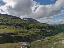
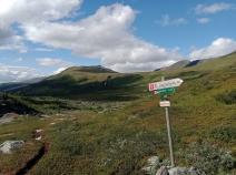
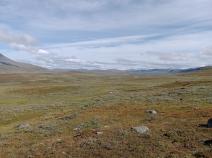
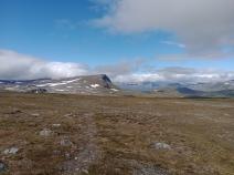
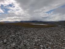
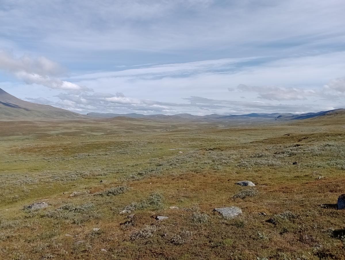
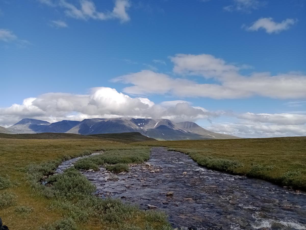
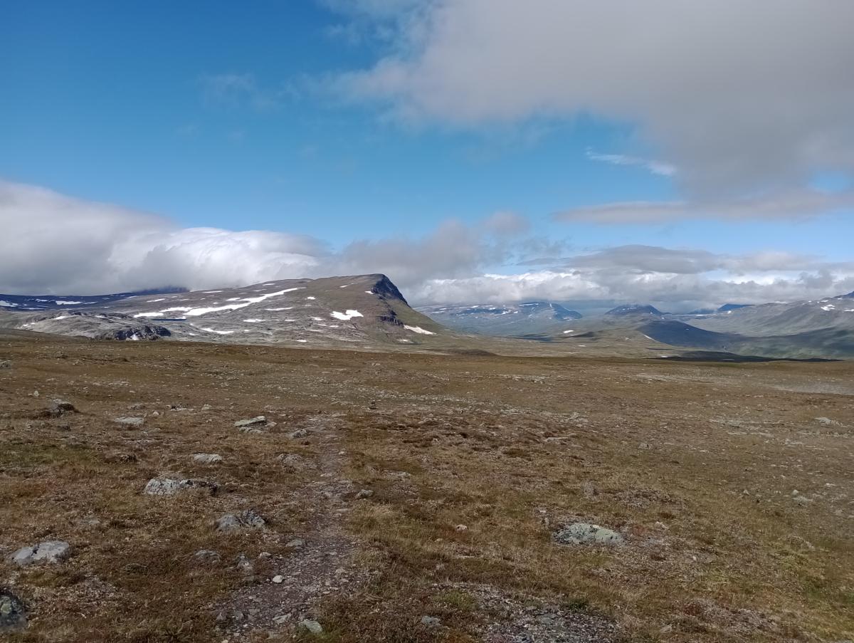
Von der Rostahytta aus gibt es die Möglichkeit, die Tour abzubrechen bzw. zu unterbrechen. Hierfür folgt man dem Weg von der Hütte weiter flussabwärts. Wer dem E1 weiterfolgt, überquert den Rostaelva an der Brücke. Der Weg zur Dærtahytta führt beständig, aber nicht kräftig bergauf. Das satte Grün und die bunten Blüten werden im Laufe der Etape weniger, die Farbe der Landschaft verwandelt sich wieder in ein blasses grün-grau. Am Áslatjohka gilt es einmal auf dieser Etappe durch einen Fluss zu waten, ansonsten ist diese Etappe sehr gut zu gehen, es gibt kaum sumpfige Stellen. Kurz vor der Passhöhe erreicht man ein Blockfeld, das aber technisch einfach ist. Hier ist man auch schon fast an der Dærtahytta, die man über einen kurzen, knackigen Abstieg von der Passhöhe aus erreicht.
The following users contributed to this text:
Hiking maps
No maps added yet
Marking
-
 DNT Hiking Trail (Norway)
Accommodation
| Accommodation | Price group | |||
|---|---|---|---|---|
| 0-200 NOK |
201-400 NOK |
401-600 NOK |
>601 NOK |
|
|
Rostahytta
Price group:
|
||||
|
Dærtahytta
Price group:
|
||||
Links
DNT - Stage descriptions (PDF)
Detailed information by the DNT about the E1 from North Cape (NO) to Grövelsjön (SE). Including stage descriptions, accomodation, marks and maps. In norwegian language.
Literature
Sources and copyright
Information about accommodation, maps and marking of this stage is based on information by DNT (Den Norske Turistforening) - Published under CC BY-SA 4.0 License GPX track coordinates: © OpenStreetMap contributors. Published under Open Database License (ODbL)GPX-Downloads
You can use the GPX track for navigation and tour planning on your digital device (GPS, smartphone, online tour planner).
| Etappe Stage 03.04 Rostahytta - Dærtahytta | Download (.gpx) |
| All tracks in Norway, Finland and Sweden | Download (.zip) |
The download and many of the services offered on this page are free of charge. However, I would greatly appreciate a small donation as a token of appreciation for my work! This can be done through Paypal or a supporting membership. Thank you very much!