08.01 Grövelsjön - Skärvagan
28.6km
Distance
-
Walking time
826m
Total climb
962m
Total descent
Photos
Stage description
N.B.: We don't have an English description of the stage just yet. We'll give you the German version for now until the English version is ready.
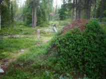
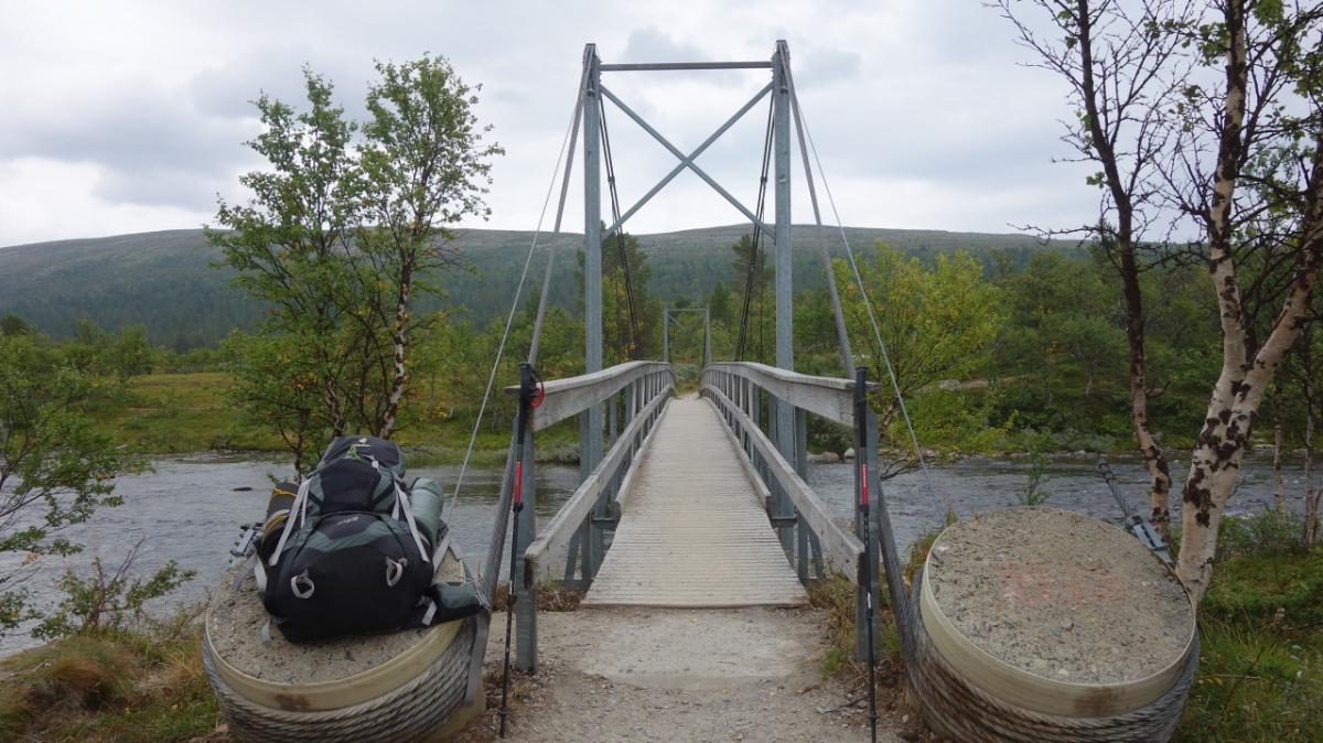
Über eine Brücke geht es über den Grövlan, der hier in den Grövelsjön fließt. Breiten Planken gehen in eine Treppe über, die hinauf ins Naturreservat Långfjället führt. Hier begegnet man mehr Menschen als anderswo. Die Touristen wollen zum Silverfallet und vielleicht noch bis zur Valdalsbygget. Bis dahin geht es über ein Hochplateau, das eine phantastische Aussicht bietet - wer von Norden kommt, sollte das nach hinten schauen nicht vergessen. Der Weg ist steinig.
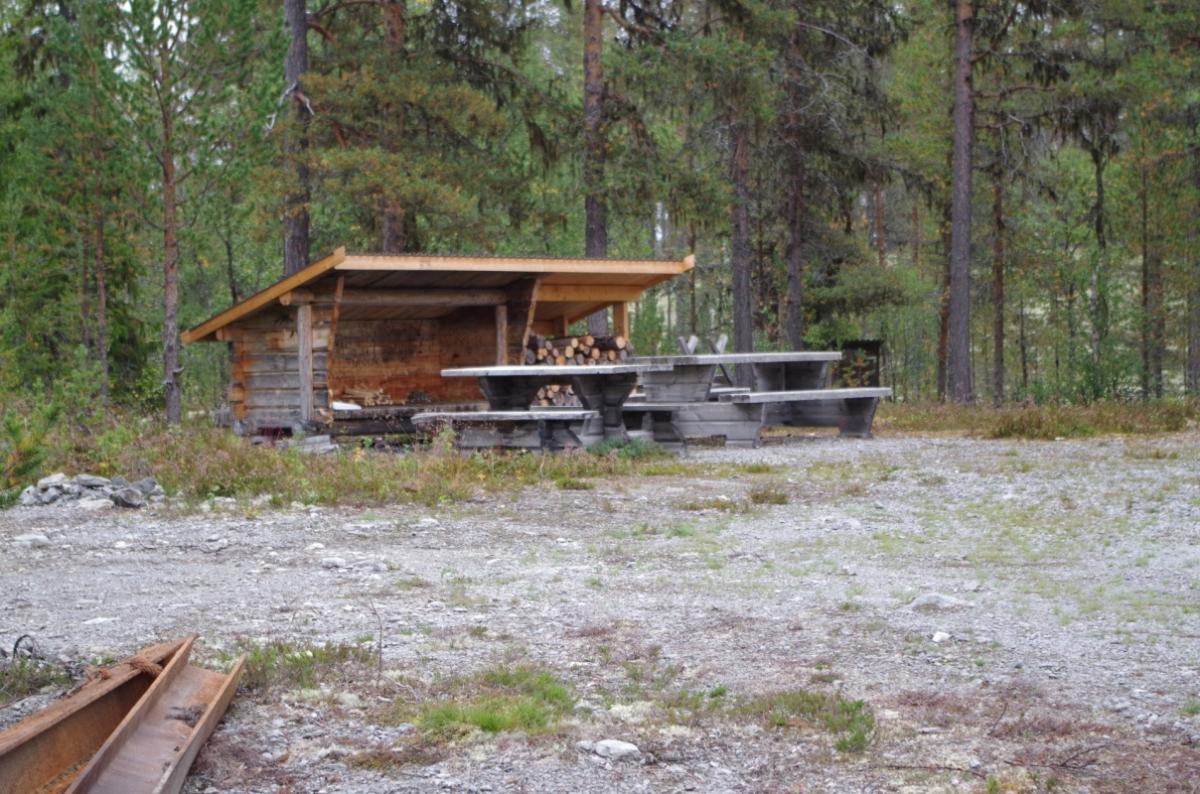
Jenseits der Schutzhütte Valdalsbygget wird es anders. Moorflächen nehmen zu, dann wieder steinige Waldpfade, die später in Schotterpisten übergehen.
The following users contributed to this text:
Hiking maps
No maps added yet
Marking
-
 Hiking trail (Sweden)
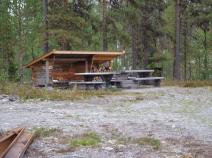
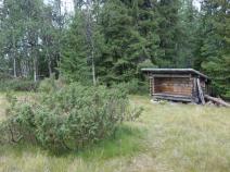
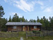
Accommodation
| Accommodation | Price group | |||
|---|---|---|---|---|
| 0-200 SEK |
201-400 SEK |
401-600 SEK |
>600 SEK |
|
|
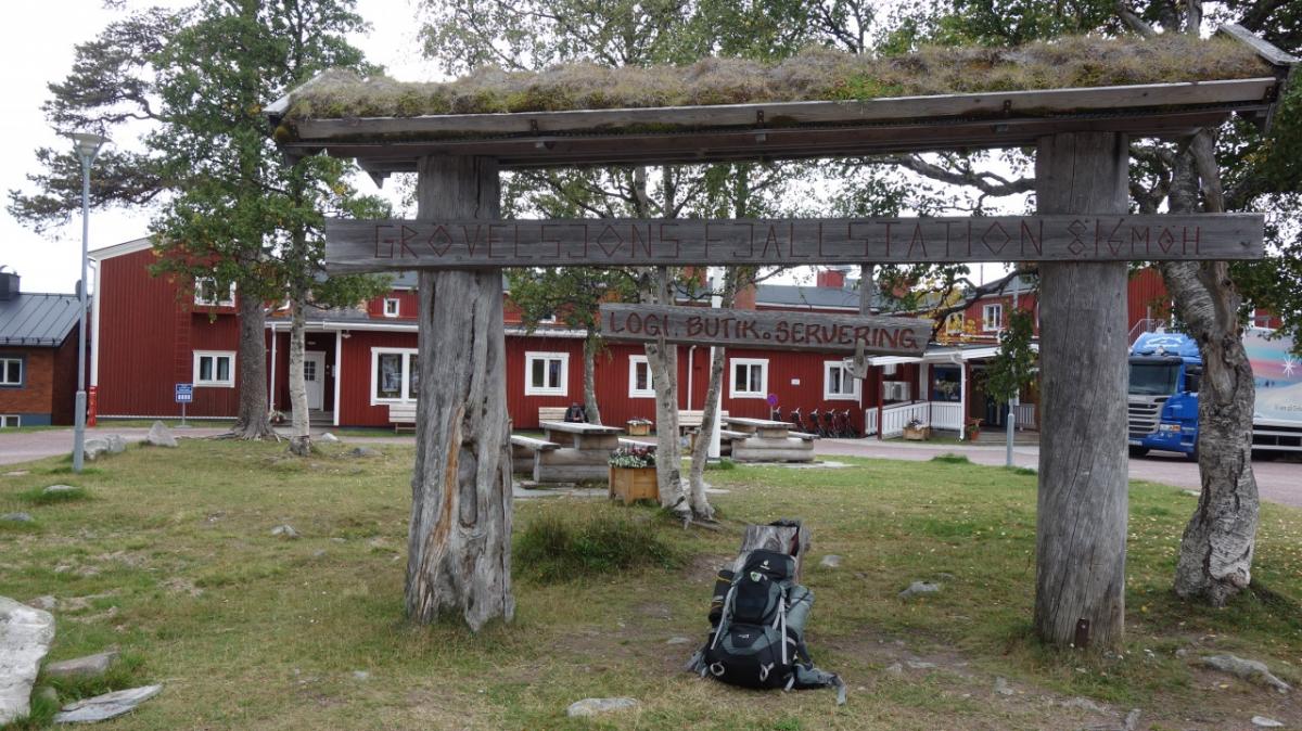
STF Grövelsjön Fjällstation
Idre
Price group:
|
||||
|
Olåns Vindskydd
Price group:
|
||||
|
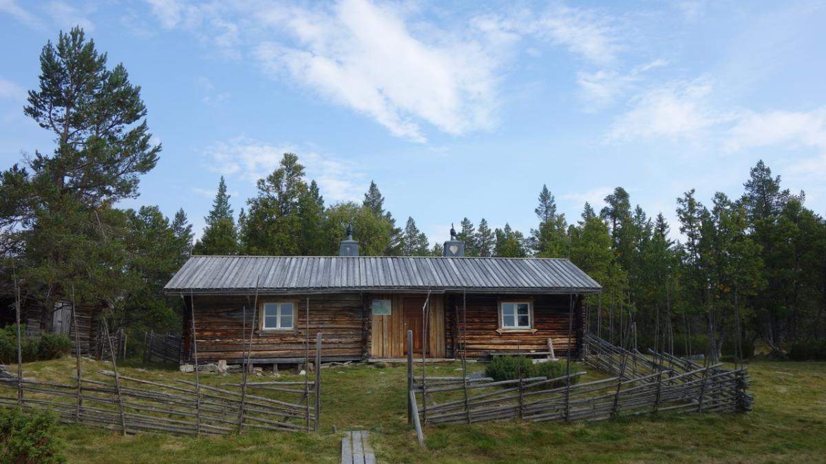
Valdalsbygget
Price group:
|
||||
|
Guttudalskojan
Price group:
|
||||
|
Vindskydd Skärvagan
Price group:
|
||||
Links
Flyer about souther Kungsleden (PDF)
General information, overview map and information about huts and shelters
Literature

Sources and copyright
GPX track coordinates: © OpenStreetMap contributors. Published under Open Database License (ODbL)GPX-Downloads
You can use the GPX track for navigation and tour planning on your digital device (GPS, smartphone, online tour planner).
| Etappe Stage 08.01 Grövelsjön - Skärvagan | Download (.gpx) |
| All tracks in Norway, Finland and Sweden | Download (.zip) |
The download and many of the services offered on this page are free of charge. However, I would greatly appreciate a small donation as a token of appreciation for my work! This can be done through Paypal or a supporting membership. Thank you very much!