Stage
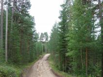
08.14 Prästskogskojan - Mora
20.7km
Distance
-
Walking time
0m
Total climb
0m
Total descent
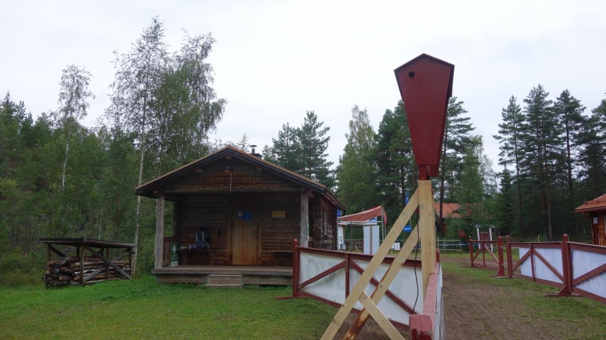
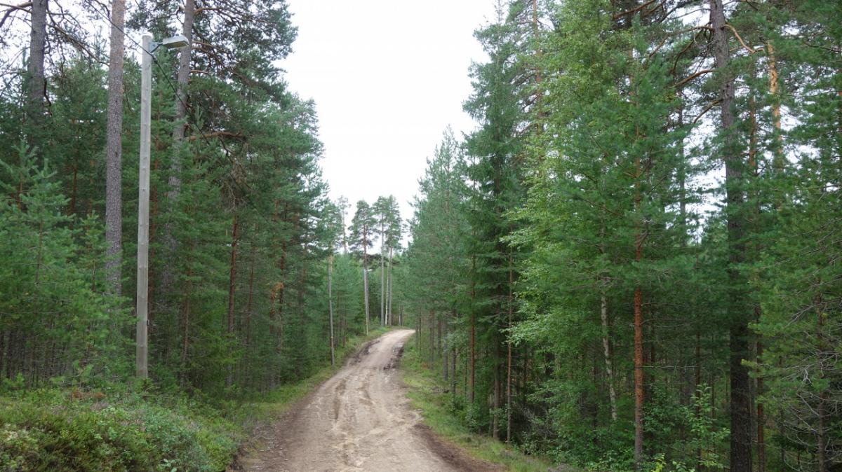
Photos
Stage description
No description available yet.
Hiking maps
No maps added yet
Marking
-
 Hiking trail (Sweden)
Additionally marked with the symbol "Gustav Vasa".
Accommodation
| Accommodation | Price group | |||
|---|---|---|---|---|
| 0-200 SEK |
201-400 SEK |
401-600 SEK |
>600 SEK |
|
|
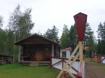
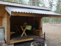
Prästskogskojan
Price group:
|
||||
|
Eldris
Eldris
Price group:
|
||||
|
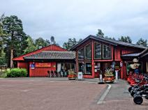
Mora Camping
Mora
Price group:
|
||||
|
STF Vandrarhem Målkullan
Mora
Price group:
|
||||
|
Show more accommodation in Mora
(booking.com / Ad)
|
||||
Links
Map of the Vasaloppet
Map and profile of the Vasaloppet. Information about shelters, drinking water, sights, and much more.
GPX-Downloads
You can use the GPX track for navigation and tour planning on your digital device (GPS, smartphone, online tour planner).
| Etappe Stage 08.14 Prästskogskojan - Mora | Download (.gpx) |
| All tracks in Norway, Finland and Sweden | Download (.zip) |
The download and many of the services offered on this page are free of charge. However, I would greatly appreciate a small donation as a token of appreciation for my work! This can be done through Paypal or a supporting membership. Thank you very much!