09.17 Tivedstorp - Stenkällegården
12.2km
Distance
-
Walking time
235m
Total climb
321m
Total descent
Photos
Stage description
N.B.: We don't have an English description of the stage just yet. We'll give you the German version for now until the English version is ready.
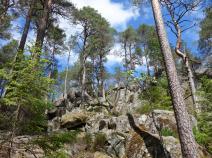
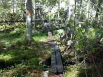
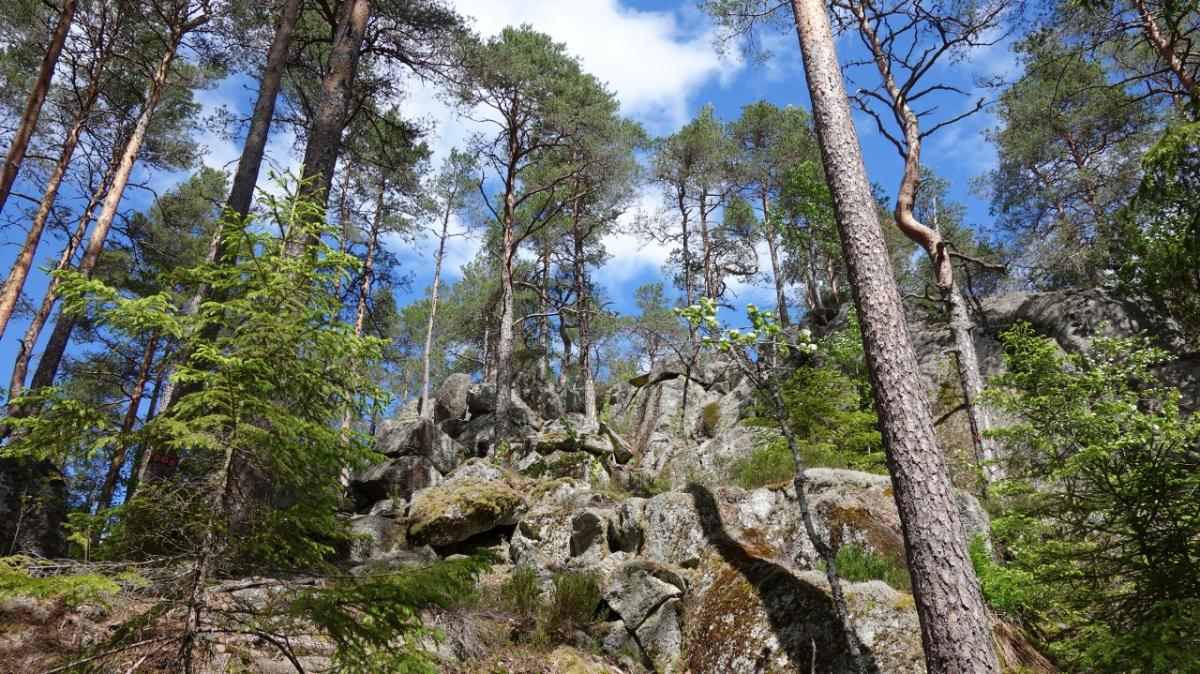
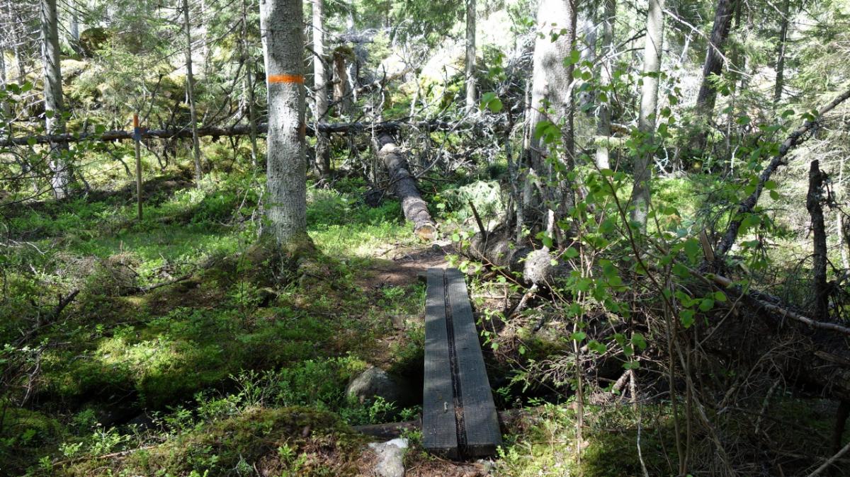
Diese Etappe führt durch das Naturreservat Tiveden. Es ist nicht besonders groß, hat es aber in sich. Geröll und Felsblöcke, übereinander gefallene Bäume und knorrige Wege. Grotten, Felsritzen und Tümpel. Kurz gesagt: ein Urwald. Umgefallene Bäume werden liegengelassen und versperren bisweilen den Weg. Das Vorwärtskommen ist beschwerlich und die 12km lange Etappe hat es in sich. Mehr schafft man nicht an diesem Tag.
Manche Felsblöcke sehen aus wie Gesichter. Deshalb wird Tiveden auch Trollwald genannt.
Das ist die erste/letzte Etappe auf dem langen Bergladsleden, der auf 280km durch waldreiche Gebiete führt.
Hiking maps
No maps added yet
Marking
-
 Hiking trail (Sweden)
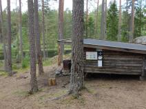
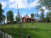
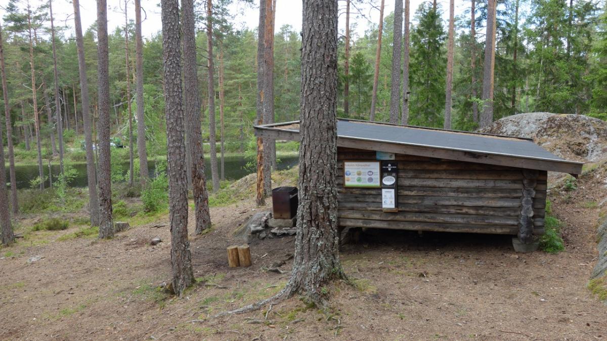
Accommodation
| Accommodation | Price group | |||
|---|---|---|---|---|
| 0-200 SEK |
201-400 SEK |
401-600 SEK |
>600 SEK |
|
|
Stf Vandrarhem Tivedstorp
Tivedstorp
Price group:
|
||||
|
Kölnavattnet Vindskydd
Price group:
|
||||
|
Stenkällegården - Camping i Tiveden
Karlsborg
Price group:
|
||||
Links
Bergslagsleden stage 17: Tivedstorp - Stenkällegården
Additional information about this stage on bergslagsleden.se
Sources and copyright
GPX track coordinates: © OpenStreetMap contributors. Published under Open Database License (ODbL)GPX-Downloads
You can use the GPX track for navigation and tour planning on your digital device (GPS, smartphone, online tour planner).
| Etappe Stage 09.17 Tivedstorp - Stenkällegården | Download (.gpx) |
| All tracks in Norway, Finland and Sweden | Download (.zip) |
The download and many of the services offered on this page are free of charge. However, I would greatly appreciate a small donation as a token of appreciation for my work! This can be done through Paypal or a supporting membership. Thank you very much!