04.01 Abisko Turiststation - Abiskojaurestugan
13.7km
Distance
-
Walking time
431m
Total climb
327m
Total descent
Photos

Stage description
N.B.: We don't have an English description of the stage just yet. We'll give you the German version for now until the English version is ready.
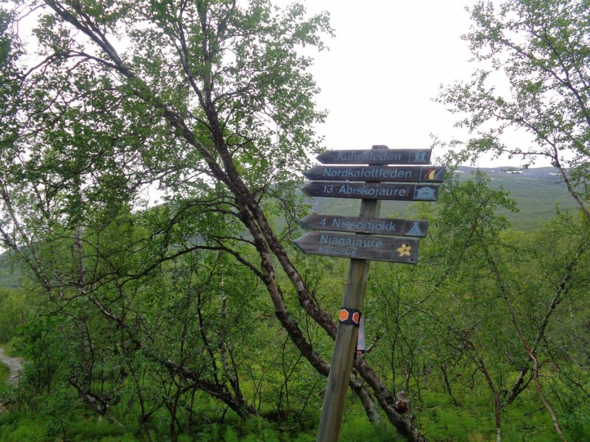
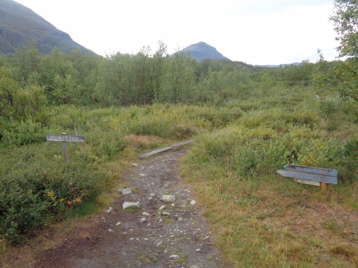
Diese Etappe verläuft auf dem Kungsleden, den mit Abstand beliebtesten Fernwanderweg in Skandinavien. Insofern ist auf dieser Etappe mit so vielen Mitwanderern wie auf keiner anderen Etappe in Skandinavien zu rechnen.
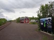
Der Start ist direkt an der Bahnlinie Kiruna-Narvik, wobei sich die Herberge (Turiststation) direkt nördlich der Bahnlinie befindet und der Bahnhof auf der südlichen Seite befindet. Nach einem kurzen Stück Straße beginnt der Kungsleden wenige Meter vom Bahnhof entfernt.
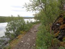
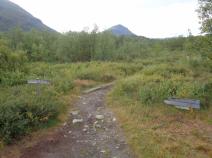
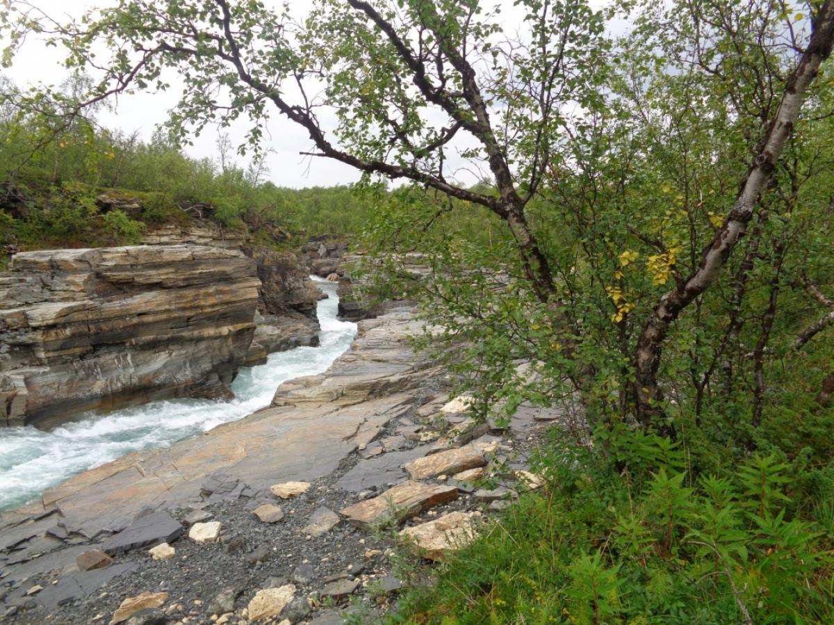
Die Etappe führt größtenteils durch Birkenwälder entlang des Flusses Abiskojåkka. Dabei bieten sich immer wieder schöne Ausblicke, vor allem nah bei der Turiststation, wo der Fluss durch eine kleine Schlucht fließt und von einer kleinen Anhöhe ("Meditationsplats" genannt) aus. Nach etwa 4 km wird der Zeltplatz Nissonjokk erreicht, wo es Toiletten, Picknickplätze und Mülleimer gibt, man aber nicht die üblichen Gebühren wie an den STF-Hütten zahlen muss.
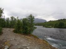
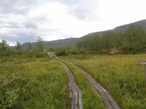
Nach etwa der Hälfte der Strecke vereinigt sich der Wanderweg mit der Langlauf- und Schneemobilstrecke. Dadurch werden die Wege breiter und verlieren etwas von ihrem Reiz. Schließlich erreicht man den Abiskojaure, der den Abiskojåkka speist. Die Landschaft wird etwas offener und sumpfiger, was aber aufgrund der vorhandenen Bohlenwege kein Problem für den Wanderer darstellt.
An Ende des Sees muss man den Kungsleden über eine Brücke, die den Seezufluss Kamajåkka überspannt, in Richtung STF-Hütte Abiskojaure verlassen. Direkt am Camp beginnt dann auch die nächste Etappe Richtung Unna Allakas.
Die Strecke weist keine nennenswerten Steigungen auf und ist einfach zu gehen. Einzig der teilweise etwas steinige Untergrund kann Probleme bereiten.
The following users contributed to this text:
Hiking maps
No maps added yet
Marking
-
 Hiking trail (Sweden)
Accommodation
| Accommodation | Price group | |||
|---|---|---|---|---|
| 0-200 SEK |
201-400 SEK |
401-600 SEK |
>600 SEK |
|
|
STF Abisko Turiststation
Price group:
|
||||
|
STF Abiskojaure Fjällstuga
Price group:
|
||||
Sources and copyright
Information about accommodation, maps and marking of this stage is based on information by DNT (Den Norske Turistforening) - Published under CC BY-SA 4.0 License GPX track coordinates: © OpenStreetMap contributors. Published under Open Database License (ODbL)GPX-Downloads
You can use the GPX track for navigation and tour planning on your digital device (GPS, smartphone, online tour planner).
| Etappe Stage 04.01 Abisko Turiststation - Abiskojaurestugan | Download (.gpx) |
| All tracks in Norway, Finland and Sweden | Download (.zip) |
The download and many of the services offered on this page are free of charge. However, I would greatly appreciate a small donation as a token of appreciation for my work! This can be done through Paypal or a supporting membership. Thank you very much!