10.23 Stensjön - Blåvättnerna
19.5km
Distance
-
Walking time
687m
Total climb
660m
Total descent
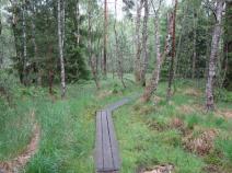
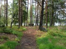
Photos
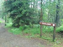
Stage description
N.B.: We don't have an English description of the stage just yet. We'll give you the German version for now until the English version is ready.
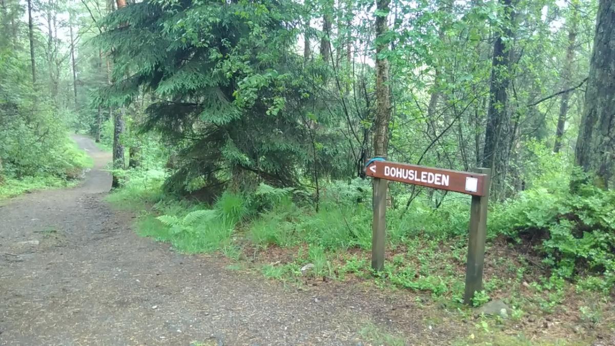
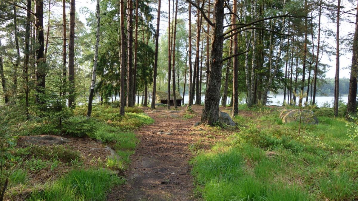
Es geht durch Wald auf breiten Forstwegen oder schmalen und schönen Waldpfaden. Auch wenn die Wegführung (vielleicht aus gutem Grund) an Lindome vorbei führt, lohnt sich ein Abstecher in die Kyrka, die sich frisch renoviert präsentiert. Der Bohusleden endet am kleinen See Blåvåtterna. Der Hallandsleden unterscheidet sich auch nicht vom Bohusleden. Man wechselt lediglich von der Region Bohuslän in das namensgebende Halland, worauf ein Schild hinweist.
Hiking maps
No maps added yet
Marking
-
 Hiking trail (Sweden)
Accommodation
| Accommodation | Price group | |||
|---|---|---|---|---|
| 0-200 SEK |
201-400 SEK |
401-600 SEK |
>600 SEK |
|
|
Herkulesgården
Price group:
|
||||
|
Stora Hassungaredssjön
Price group:
|
||||
Links
1st stage of Bohusleden trail: Blåvättnerna-Stensjön
stage description and map
Sources and copyright
GPX track coordinates: © OpenStreetMap contributors. Published under Open Database License (ODbL)GPX-Downloads
You can use the GPX track for navigation and tour planning on your digital device (GPS, smartphone, online tour planner).
| Etappe Stage 10.23 Stensjön - Blåvättnerna | Download (.gpx) |
| All tracks in Norway, Finland and Sweden | Download (.zip) |
The download and many of the services offered on this page are free of charge. However, I would greatly appreciate a small donation as a token of appreciation for my work! This can be done through Paypal or a supporting membership. Thank you very much!