02.05 Saraelv - Somashytta
28.7km
Distance
-
Walking time
943m
Total climb
289m
Total descent
Photos
Stage description
N.B.: We don't have an English description of the stage just yet. We'll give you the German version for now until the English version is ready.
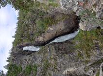
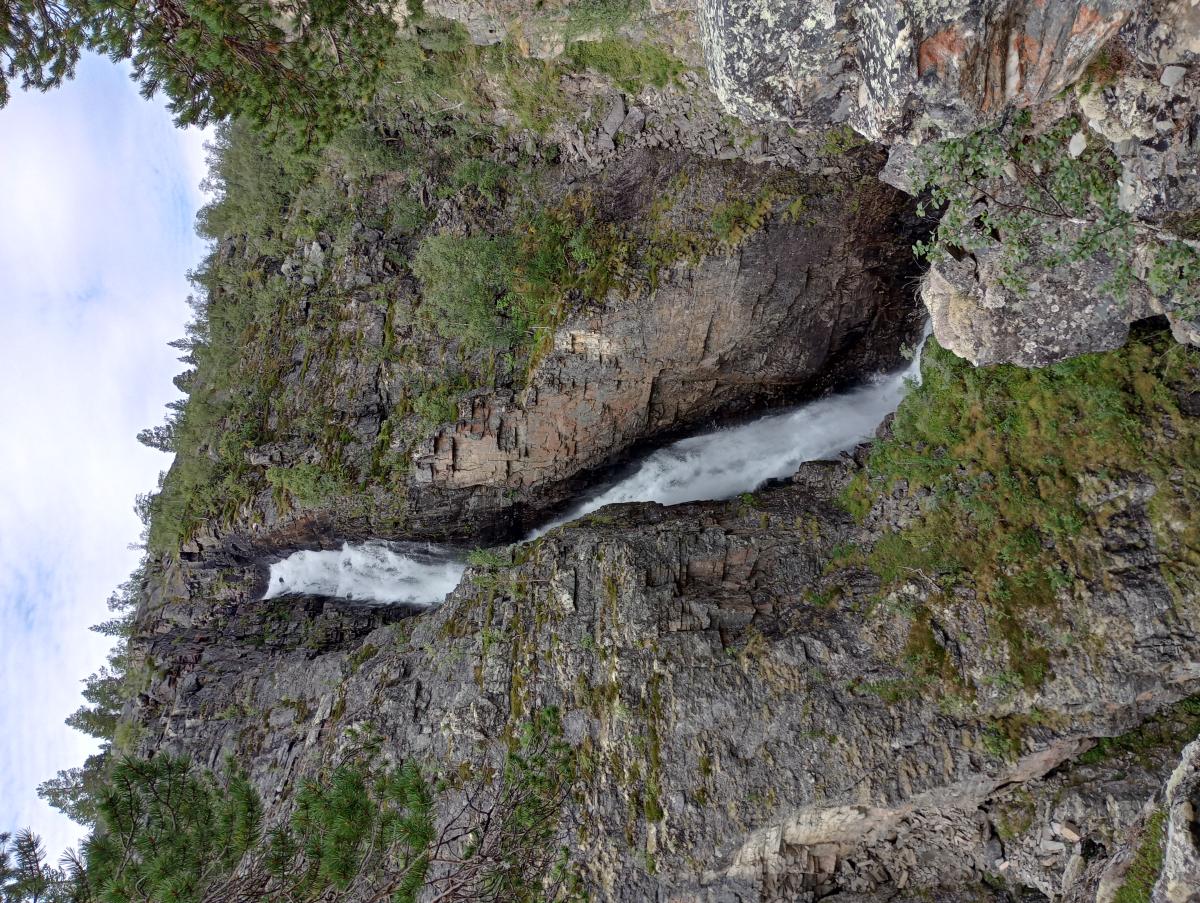
Aus dem Reisadalen geht es direkt steil bergauf. Einen ersten Zwischenstopp sollte man am Sarafossen einlegen. Am oberen Ende des Wasserfalls gibt es sogar einen ausgewiesenen Zeltplatz, über einen markierten Abstecher zu erreichen.
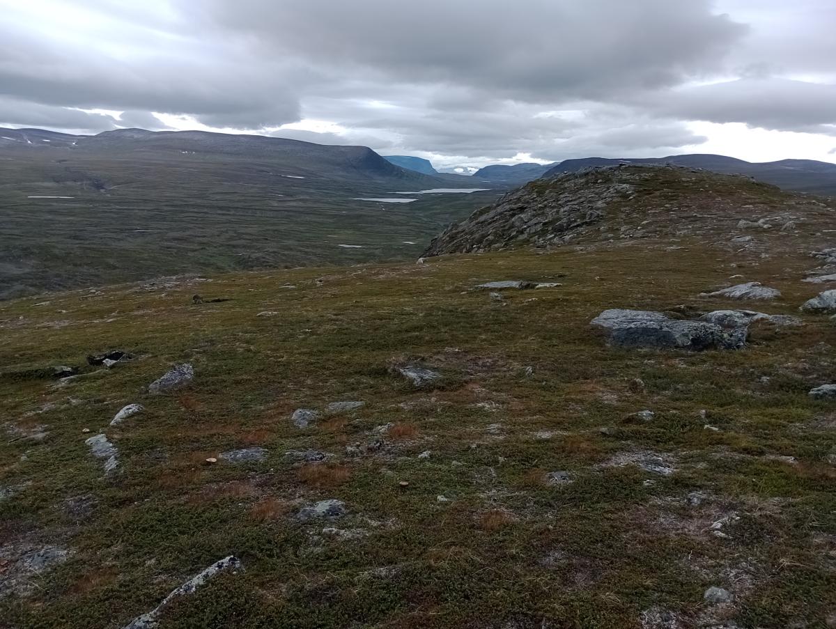
Mit zunehmender Höhe verwandelt sich der Mischwald in Birkenwald bis die Landschaft sich schließlich zur gewohnten Strauchsteppe ändert. Mit dem Meahccejohka muss wieder ein Fluss gequert werden, aber mit etwas Geschick klappt das hier auch ohne Watschuhe.
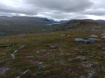
An der Flanke des Skaidecohkka erreicht man schließlich den höchsten Punkt und hat bei guter Sicht fantastische Ausblicke Richtung Reisadalen, auf das vor einem liegende, tief eingeschnittene Tal des Coalbmejohka sowie auf die schneebedeckten Berge in der Ferne.
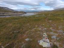
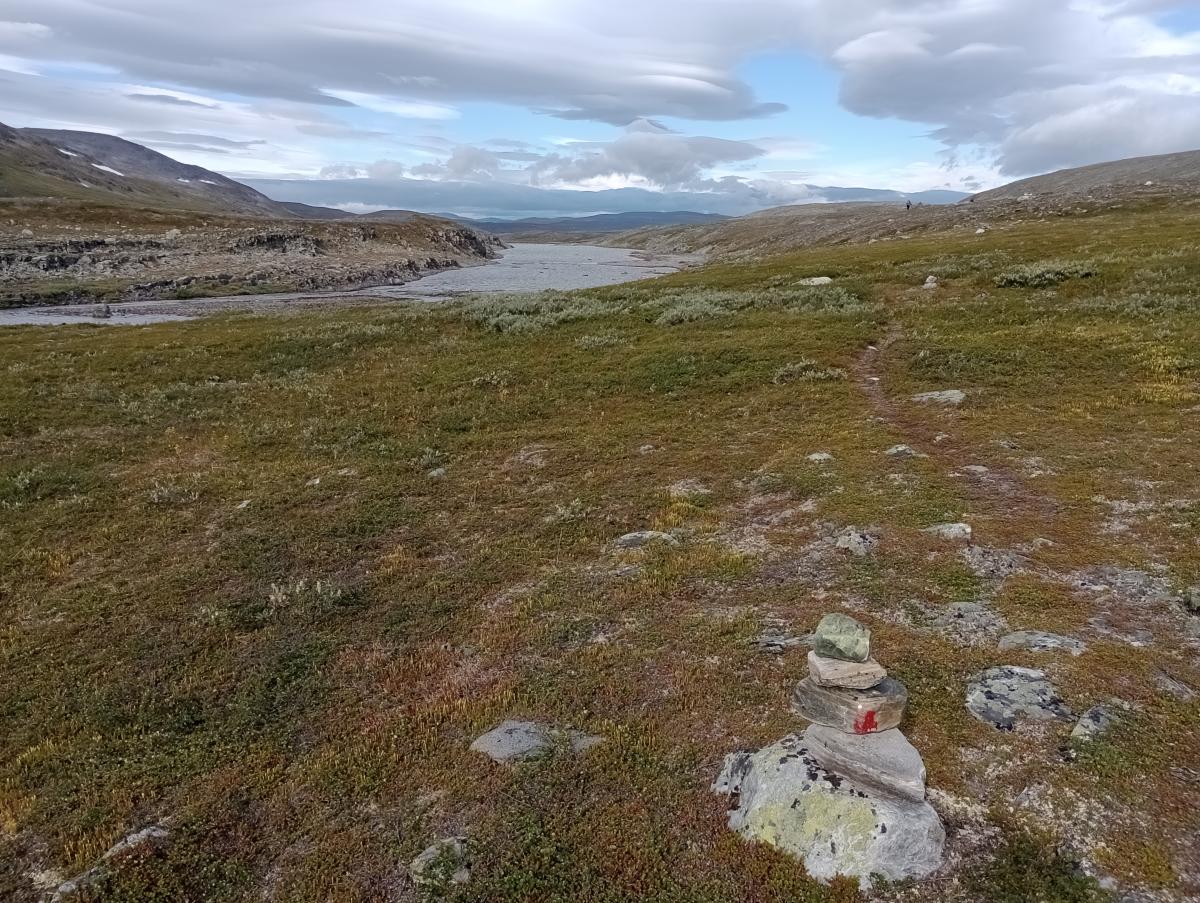
Nun geht es wieder bergab Richtung Coalbmejohka und schließlich an den Coalbmejavrrit, wo man hervorragende Zeltmöglichkeiten findet. Aus Richtung Sappen trifft hier eine gut ausgebaute Fahrspur auf den E1, der man für eine längere Zeit folgen kann. Hier kommt man darum besonders schnell voran.
Nun ist es nicht mehr weit bis zur offenen Somashytta. Der Rahpesjohka muss jedoch vorher noch durchwatet werden, aber dann ist das Ziel erreicht und diese lange Etappe abgeschlossen.
The following users contributed to this text:
Hiking maps
No maps added yet
Marking
-
 DNT Hiking Trail (Norway)
Accommodation
| Accommodation | Price group | |||
|---|---|---|---|---|
| 0-200 NOK |
201-400 NOK |
401-600 NOK |
>601 NOK |
|
|
Saraelv
Price group:
|
||||
|
Somashytta
Price group:
|
||||
Links
DNT - Stage descriptions (PDF)
Detailed information by the DNT about the E1 from North Cape (NO) to Grövelsjön (SE). Including stage descriptions, accomodation, marks and maps. In norwegian language.
Literature
Sources and copyright
Information about accommodation, maps and marking of this stage is based on information by DNT (Den Norske Turistforening) - Published under CC BY-SA 4.0 License GPX track coordinates: © OpenStreetMap contributors. Published under Open Database License (ODbL)GPX-Downloads
You can use the GPX track for navigation and tour planning on your digital device (GPS, smartphone, online tour planner).
| Etappe Stage 02.05 Saraelv - Somashytta | Download (.gpx) |
| All tracks in Norway, Finland and Sweden | Download (.zip) |
The download and many of the services offered on this page are free of charge. However, I would greatly appreciate a small donation as a token of appreciation for my work! This can be done through Paypal or a supporting membership. Thank you very much!