02.03 Reisavannhytta - Nedrefosshytta
28.1km
Distance
-
Walking time
322m
Total climb
603m
Total descent
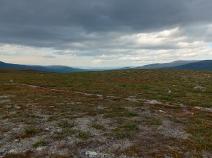
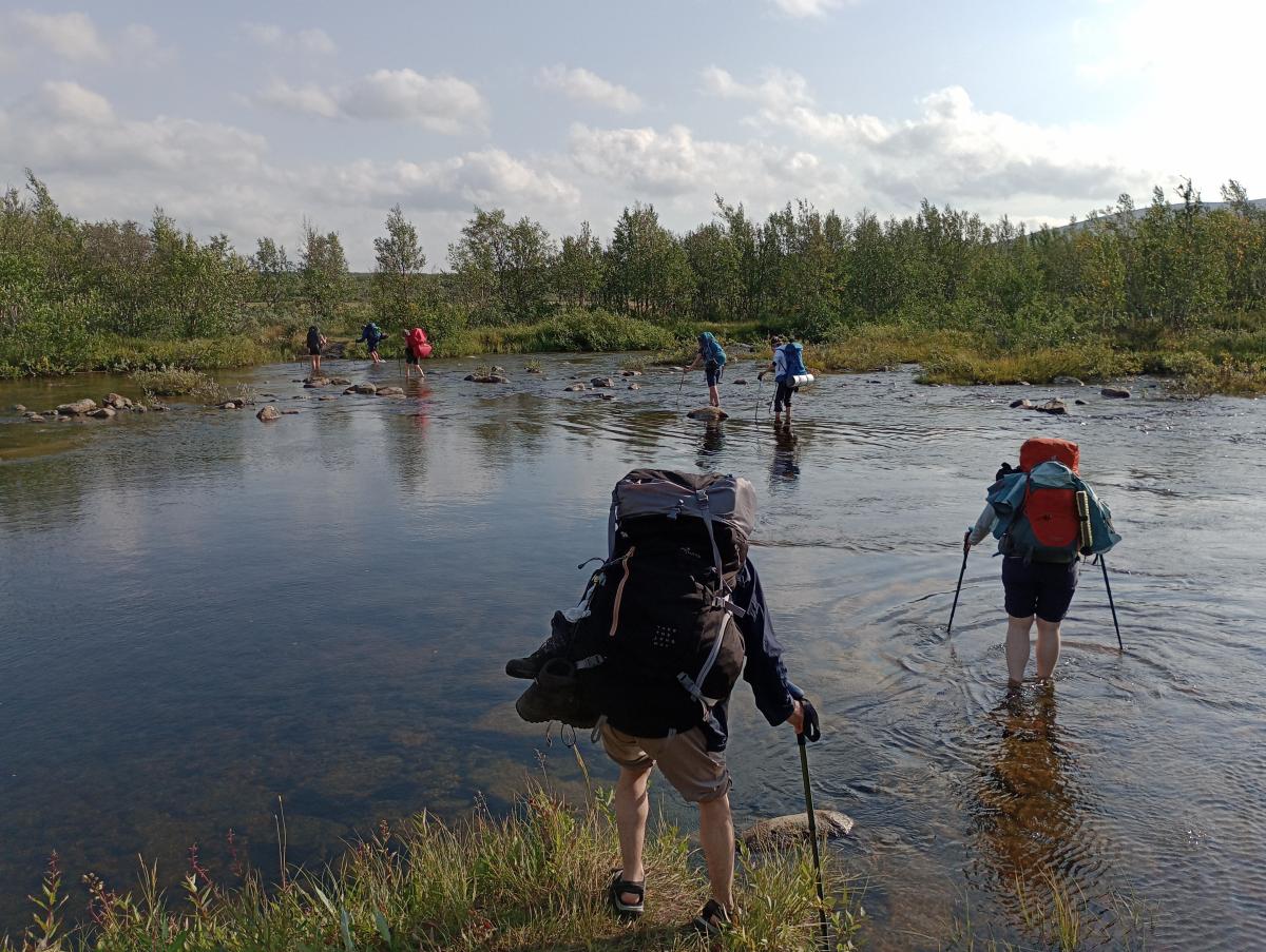
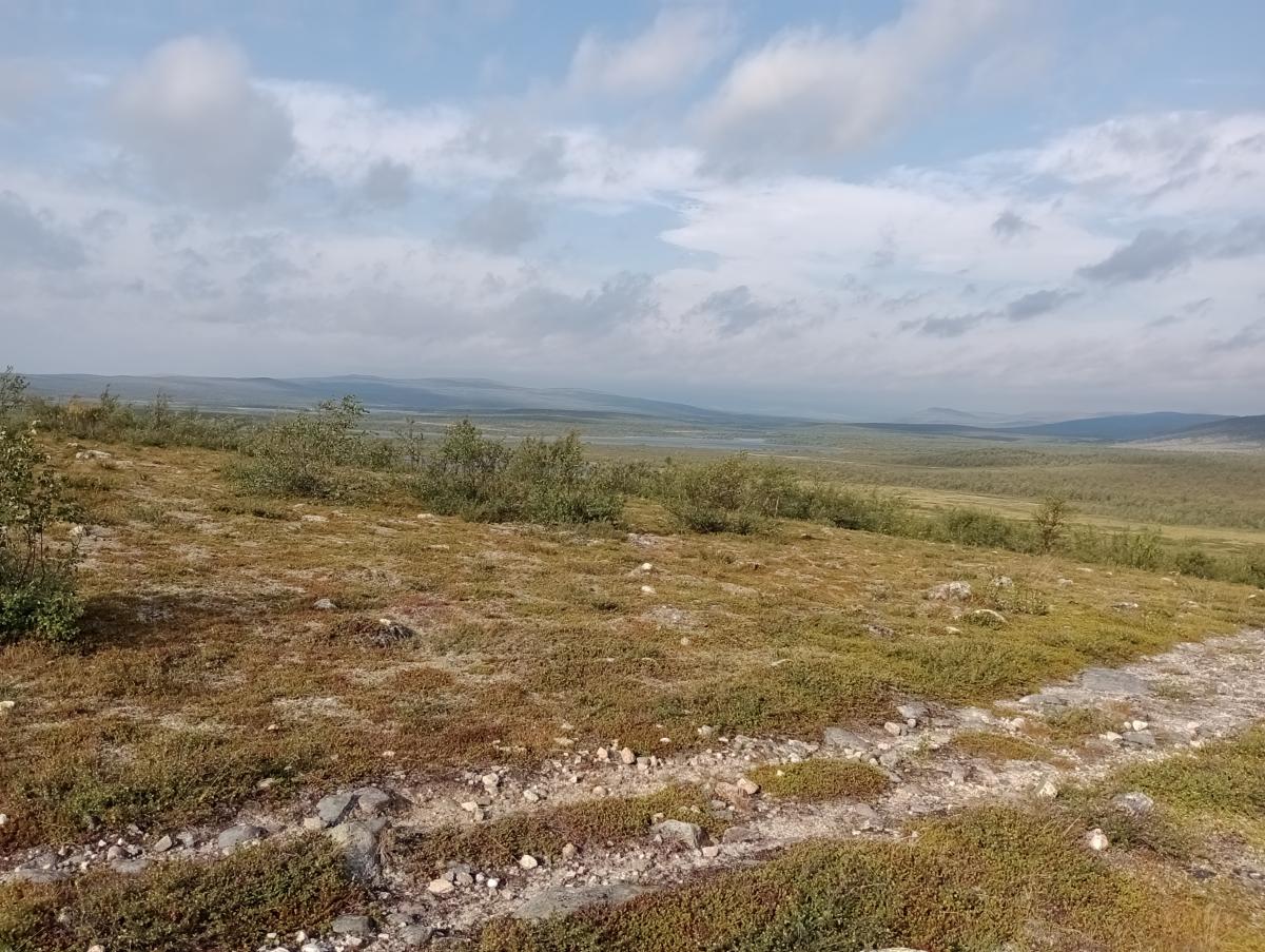
Photos
Stage description
N.B.: We don't have an English description of the stage just yet. We'll give you the German version for now until the English version is ready.
Die Etappe startet an der Raisjavrihytta und führt dann zunächst am Seeufer und Rentierzaun entlang zu einer weiteren, verschlossenen Hütte in der Nähe der Trafostation. Anschließend wird der Cieknaljohka gequert und auf der ATV-Spur geht es dann zunächst in südlicher Richtung weiter. Ganz in der Nähe befindet sich eine Sami-Siedlung, so dass es viele Abzweige auf der Strecke gibt. Kleine Wegweiser zeigen dem Wanderer an vielen Stellen den korrekten Weg an.
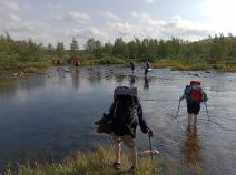
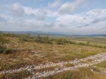
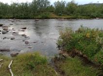
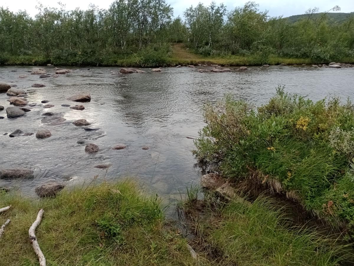
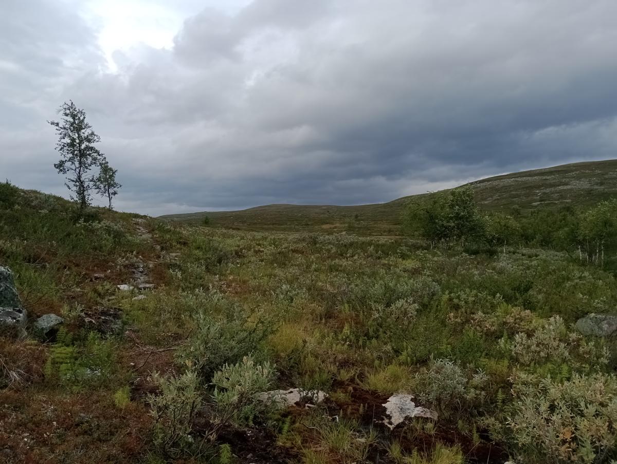
Schließlich wendet sich der Weg nach Westen, wo mit dem Njargajohka der nächste Fluss gefurtet werden muss. Die Landschaft verändert sich allmählich vom lichten Birkenwald zur Heidesteppe während es zunehmend bergauf geht. Immer wieder sind sumpfige Passagen zu queren.
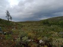
Zum Ende der Etappe geht es schließlich wieder bergab ins Reisadalen, teilweise sehr steil und ziemlich dicht am Anhang. Die letzten Kilometer haben es hier durchaus nochmal in sich.
Etwa 3 Kilometer vor der Nedrefosshytta empfiehlt sich ein Abstecher zum beeindruckenden Imofossen. Der Anfang des Weges ist nicht so leicht zu entdecken; ein GPS-Gerät ist sehr empfehlenswert, wenn man den Weg zum Wasserfall finden möchte.
The following users contributed to this text:
Hiking maps
No maps added yet
Marking
-
 DNT Hiking Trail (Norway)
Accommodation
| Accommodation | Price group | |||
|---|---|---|---|---|
| 0-200 NOK |
201-400 NOK |
401-600 NOK |
>601 NOK |
|
|
Reisavannhytta
Price group:
|
||||
|
Immogammen
Price group:
|
||||
|
Nedrefosshytta
Price group:
|
||||
Links
DNT - Stage descriptions (PDF)
Detailed information by the DNT about the E1 from North Cape (NO) to Grövelsjön (SE). Including stage descriptions, accomodation, marks and maps. In norwegian language.
Literature
Sources and copyright
Information about accommodation, maps and marking of this stage is based on information by DNT (Den Norske Turistforening) - Published under CC BY-SA 4.0 License GPX track coordinates: © OpenStreetMap contributors. Published under Open Database License (ODbL)GPX-Downloads
You can use the GPX track for navigation and tour planning on your digital device (GPS, smartphone, online tour planner).
| Etappe Stage 02.03 Reisavannhytta - Nedrefosshytta | Download (.gpx) |
| All tracks in Norway, Finland and Sweden | Download (.zip) |
The download and many of the services offered on this page are free of charge. However, I would greatly appreciate a small donation as a token of appreciation for my work! This can be done through Paypal or a supporting membership. Thank you very much!