03.09 Altevasshytta - Lappjordhytta
24.4km
Distance
-
Walking time
794m
Total climb
792m
Total descent
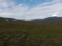
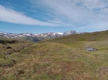
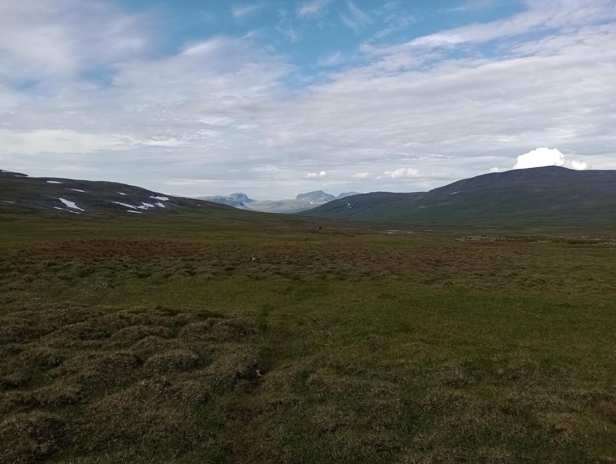
Photos
Stage description
N.B.: We don't have an English description of the stage just yet. We'll give you the German version for now until the English version is ready.
Nach der relativ kurzen Etappen zuvor folgt hier nun eine deutlich längere Etappe. Der Anfang ist jedoch recht einfach. Auf befestigten Wegen geht es zunächst zur Staumauer des Altevatnet. Hier streift man auch die Ausläufer des Orts Innset, das sich dann weiter flussabwärts erstreckt. Hier findet man auch die Huskyfarm vom Deutsch-Norweger Björn Klauer, wo man auch übernachten kann. Zettel am Wegesrand weisen darauf hin, dass man sich dafür sogar an der Staumauer abholen lassen kann.
Hinter der Staumauer geht es nun wieder bergauf auf einem Wirtschaftsweg, der oberhalb eines Flusses entlangführt und mit der Zeit immer mehr zur ATV-Piste wird. Nach etwa 8,5 km erreicht man eine Flussquerung mit guten Zeltplätzen neben der Piste. Hier verlässt der Wanderweg die Fahrspur für die ATVs. Die ATV-Spur führt zu einer Sami-Siedlung etwas oberhalb des Wanderwegs. Der E1 führt stattdessen etwas tiefer gelegen durch leicht sumpfigen und extrem mückenverseuchtes Gebiet (sicherlich abhängig von jahreszeit und Witterung). Nach einer Weile geht es raus aus dieser Senke. Wenn der Wanderweg dann in südliche Richtung schwenkt, sieht man bereits den Torneträsk unter sich. Bis zur Lappjordhytta muss man allerdings nur den halben Weg absteigen. Diese vorerst letzte norwegische Hütte bietet noch einmal fantastische Ausblicke auf den See.
The following users contributed to this text:
Hiking maps
No maps added yet
Marking
-
 DNT Hiking Trail (Norway)
Accommodation
| Accommodation | Price group | |||
|---|---|---|---|---|
| 0-200 NOK |
201-400 NOK |
401-600 NOK |
>601 NOK |
|
|
Altevasshytta
Price group:
|
||||
|
Lappjordhytta
Price group:
|
||||
Links
DNT - Stage descriptions (PDF)
Detailed information by the DNT about the E1 from North Cape (NO) to Grövelsjön (SE). Including stage descriptions, accomodation, marks and maps. In norwegian language.
Literature
Sources and copyright
Information about accommodation, maps and marking of this stage is based on information by DNT (Den Norske Turistforening) - Published under CC BY-SA 4.0 License GPX track coordinates: © OpenStreetMap contributors. Published under Open Database License (ODbL)GPX-Downloads
You can use the GPX track for navigation and tour planning on your digital device (GPS, smartphone, online tour planner).
| Etappe Stage 03.09 Altevasshytta - Lappjordhytta | Download (.gpx) |
| All tracks in Norway, Finland and Sweden | Download (.zip) |
The download and many of the services offered on this page are free of charge. However, I would greatly appreciate a small donation as a token of appreciation for my work! This can be done through Paypal or a supporting membership. Thank you very much!