02.10 Kuinarjoki - Saarijärvi
8.7km
Distance
-
Walking time
155m
Total climb
338m
Total descent
Photos
Stage description
N.B.: We don't have an English description of the stage just yet. We'll give you the German version for now until the English version is ready.
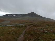
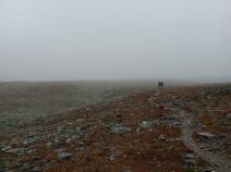
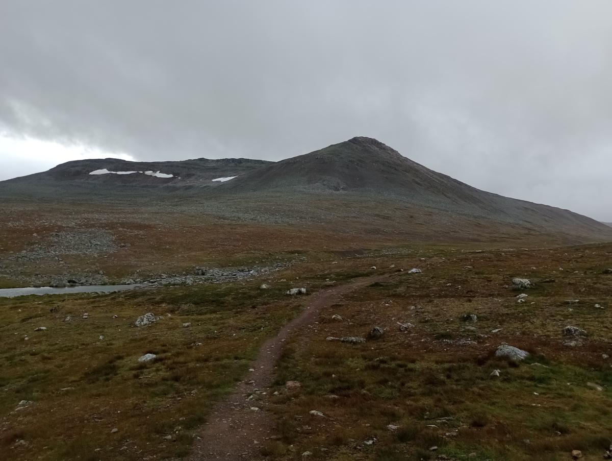
Der Weg verläuft von der Hütte zunächst entlang des Kuonjarjoki flussaufwärts in karger und steiniger werdendes Gelände. Am Ende des Flusses ist das Hochplateau erreicht, anschließend kommt ein langer und kräftiger Abstieg zur Saarijärvi-Hütte, wobei immer wieder mal sumpfige Passagen zu überqueren sind.
The following users contributed to this text:
Hiking maps
No maps added yet
Marking
Accommodation
| Accommodation | Price group | |||
|---|---|---|---|---|
| 5-15 € | 16-30 € | 31-45 € | >45 € | |
|
Kuonjarjoki
Price group: €
|
||||
|
Saarijärvi
Price group: €
|
||||
Links
DNT - Stage descriptions (PDF)
Detailed information by the DNT about the E1 from North Cape (NO) to Grövelsjön (SE). Including stage descriptions, accomodation, marks and maps. In norwegian language.
Literature
Sources and copyright
Information about accommodation, maps and marking of this stage is based on information by DNT (Den Norske Turistforening) - Published under CC BY-SA 4.0 License GPX track coordinates: © OpenStreetMap contributors. Published under Open Database License (ODbL)GPX-Downloads
You can use the GPX track for navigation and tour planning on your digital device (GPS, smartphone, online tour planner).
| Etappe Stage 02.10 Kuinarjoki - Saarijärvi | Download (.gpx) |
| All tracks in Norway, Finland and Sweden | Download (.zip) |
The download and many of the services offered on this page are free of charge. However, I would greatly appreciate a small donation as a token of appreciation for my work! This can be done through Paypal or a supporting membership. Thank you very much!