02.08 Pihtsusjärvi - Meekonjärvi
10.4km
Distance
-
Walking time
118m
Total climb
251m
Total descent
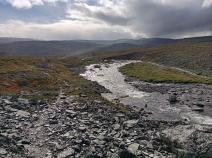
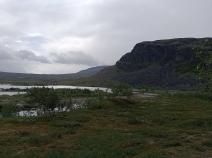
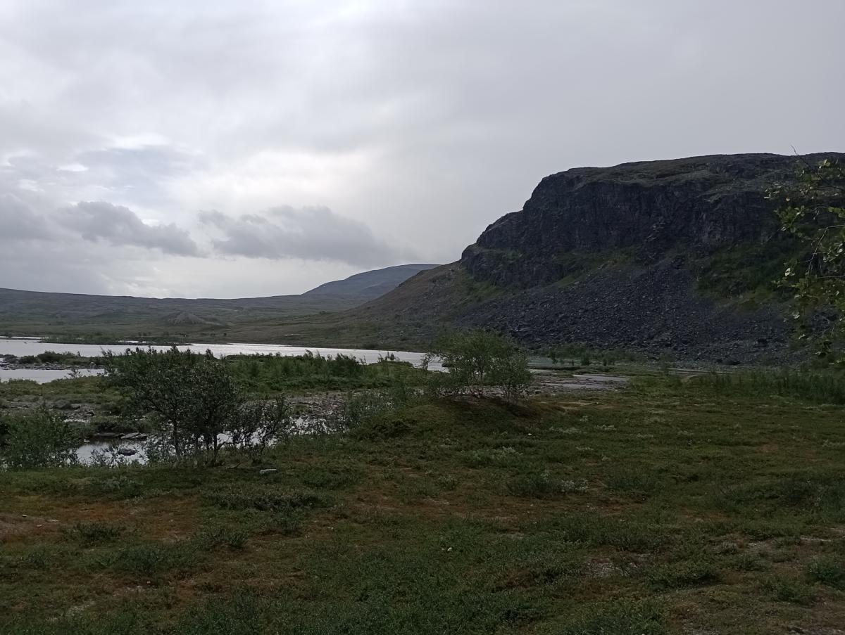
Photos
Stage description
N.B.: We don't have an English description of the stage just yet. We'll give you the German version for now until the English version is ready.
Im Gegensatz vor Voretappe ist dieser Weg viel genutzt und daher gut zu erkennen. Zunächst folgt man dem Ufer des Pihtsusjärvi Richtung Süden. Hierbei muss direkt hinter der Hütte der nicht sonderlich breite, aber recht schnell fließende Rássejohka gefurtet werden. Vorbei an einer Sami-Siedlung erreicht man schließlich den Pihtsusjohka, der sich im weiteren Verlauf tief in die Landschaft eingräbt. Wer den Wasserfall Pihtsuskongäs sehen möchten, muss den markierten Weg ein Stück verlassen, da vom Weg aus der Canyon nur gelegentlich einsehbar ist. Hinter einem weiteren See erreicht der Weg den Voumakasjoki, der über eine Brücke überquert wird. Stand 2022 war diese Brücke zerstört, so dass man ein weiteres Stück dem Trampelpfad folgen musste und den Fluss an einer recht breiten, aber größtenteils flachen, markierten Stelle konnte. Am anderen Ufer erreicht man schließlich den Meekonjärvi, wo der Weg direkt zur gleichnamigen verschlossenen Hütte führt. Die offene Hütte erreicht man über einen Abstecher von der nächsten Etappe.
The following users contributed to this text:
Hiking maps
No maps added yet
Marking
Accommodation
| Accommodation | Price group | |||
|---|---|---|---|---|
| 5-15 € | 16-30 € | 31-45 € | >45 € | |
|
Pihtsusjärvi
Price group: €
|
||||
|
Meekonjärvi
Price group: €
|
||||
Links
DNT - Stage descriptions (PDF)
Detailed information by the DNT about the E1 from North Cape (NO) to Grövelsjön (SE). Including stage descriptions, accomodation, marks and maps. In norwegian language.
Literature
Sources and copyright
Information about accommodation, maps and marking of this stage is based on information by DNT (Den Norske Turistforening) - Published under CC BY-SA 4.0 License GPX track coordinates: © OpenStreetMap contributors. Published under Open Database License (ODbL)GPX-Downloads
You can use the GPX track for navigation and tour planning on your digital device (GPS, smartphone, online tour planner).
| Etappe Stage 02.08 Pihtsusjärvi - Meekonjärvi | Download (.gpx) |
| All tracks in Norway, Finland and Sweden | Download (.zip) |
The download and many of the services offered on this page are free of charge. However, I would greatly appreciate a small donation as a token of appreciation for my work! This can be done through Paypal or a supporting membership. Thank you very much!