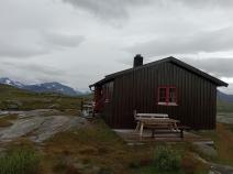
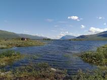
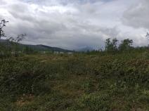
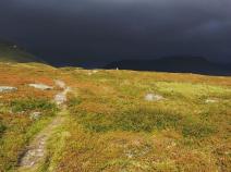
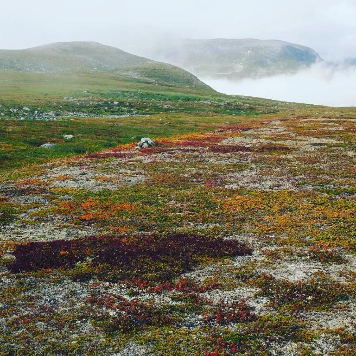
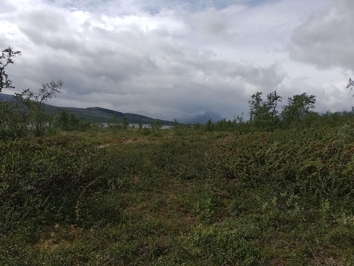
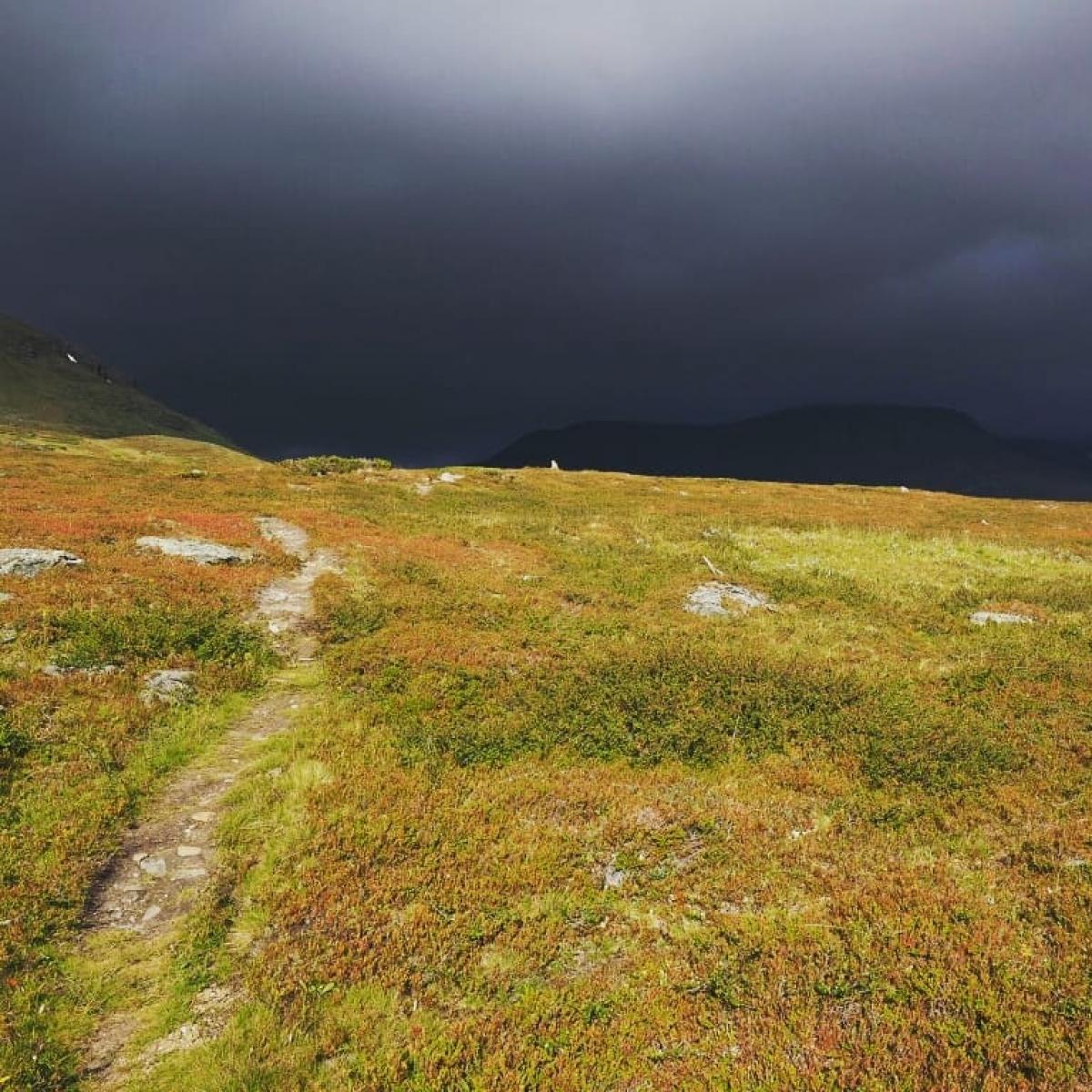
Nordkalottleden (central)
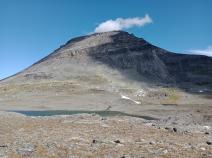
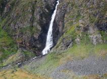
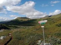
Stage overview
| Stage | Distance | Walking time | Total climb | Total descent |
|---|---|---|---|---|
| 03.01 Kilpisjärvi - Treriksrøysa - Goldahytta | 15.3km | - | 463m | 456m |
| 03.02 Goldahytta - Gappohytta | 12km | - | 367m | 233m |
| 03.03 Gappohytta - Rostahytta | 18.9km | - | 358m | 575m |
| 03.04 Rostahytta - Dærtahytta | 16.3km | - | 651m | 380m |
| 03.05 Dærtahytta - Dividalshytta | 23.8km | - | 648m | 792m |
| 03.06 Dividalshytta - Vuomahytta | 18.3km | - | 659m | 536m |
| 03.07 Vuomahytta - Gaskashytta | 16.9km | - | 349m | 529m |
| 03.08 Gaskashytta - Altevasshytta | 12.2km | - | 224m | 225m |
| 03.09 Altevasshytta - Lappjordhytta | 24.4km | - | 794m | 792m |
| 03.10 Lappjordhytta - Pålnostugan | 2.7km | - | 76m | 242m |
| 03.11 Pålnostugan - Abisko Turiststation | 21.7km | - | 766m | 737m |
Climate
FIE_TABELLEN_ANZEIGEN
Meteorological station Kilpisjärvi, Finland (Altitude: 486m)
-
Monthly means of the daily highs and lows in degrees Celsius
Jan Feb Mar Apr May Jun Jul Aug Sep Oct Nov Dec ∅ Max. -9.6 -8.6 -5.2 -0.4 5.2 12.0 15.1 13.1 7.8 1.4 -7.8 -7.9 ∅ Min. -20.2 -18.6 -15.8 -9.7 -2.2 3.3 6.6 5.6 1.4 -4.0 -12.0 -17.7 -
Mean total precipitation in mm
Jan Feb Mar Apr May Jun Jul Aug Sep Oct Nov Dec ∅ mm 33.0 29.0 22.0 17.0 21.0 37.0 64.0 48.0 37.0 39.0 33.0 33.0
Source: DWD Climate Data Center - Climatological monthly means covering period 1961-1990
(Monthly Normals) for stations worldwide
