03.03 Gappohytta - Rostahytta
18.9km
Distance
-
Walking time
358m
Total climb
575m
Total descent
Photos
Stage description
N.B.: We don't have an English description of the stage just yet. We'll give you the German version for now until the English version is ready.
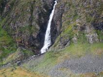
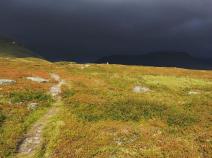
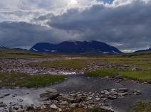
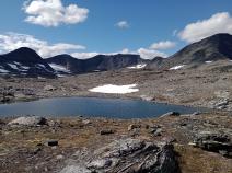
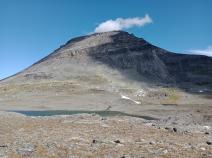
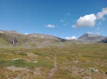
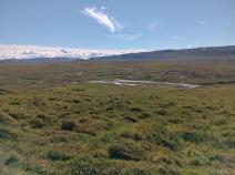
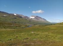
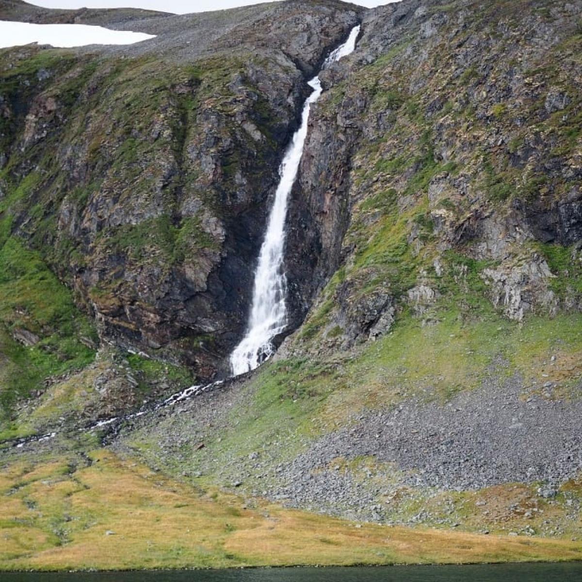
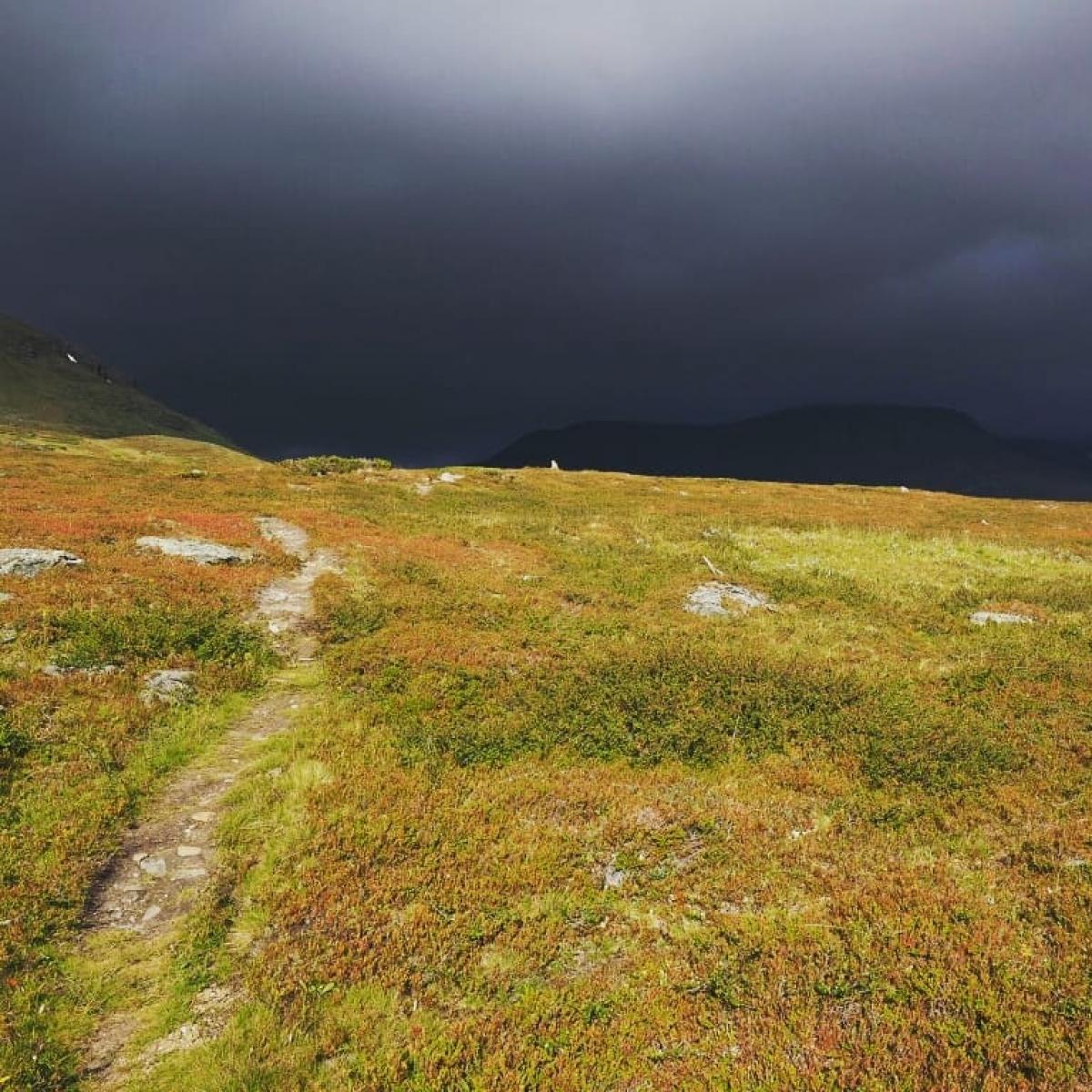
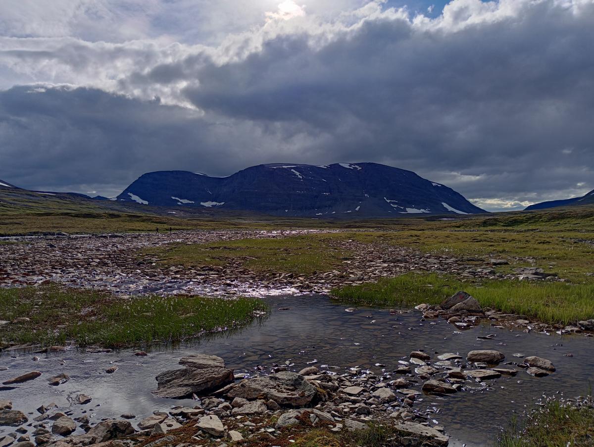
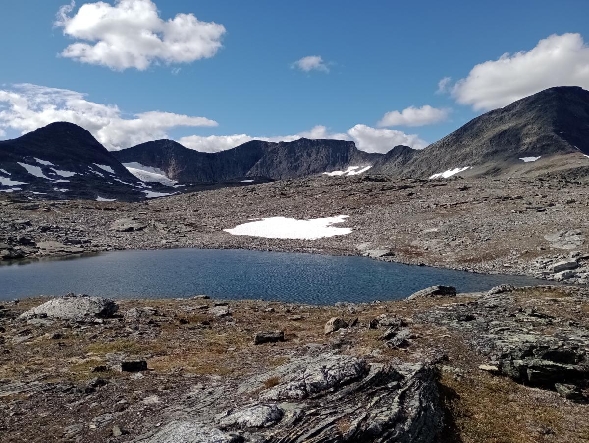
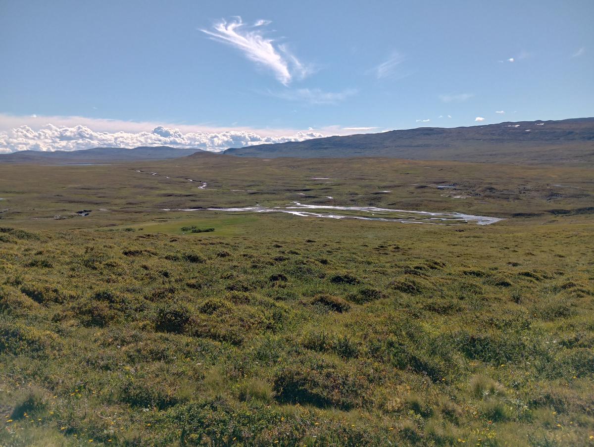
Auf dieser Etappe erreicht der E1 erstmals richtig alpines Gelände. Zunächst geht es aber noch relativ flach los. Man folgt den ATV-Spuren Richtung schwedische Grenze. Während der 5 km, die man auf dieser Etappe durch Schweden läuft, gilt es einen nicht tiefen, aber sehr breiten und stark verästelten Flusslauf zu queren. Nachdem man wieder die norwegische Grenze überquert hat, wird das Tal, durch das man geht, immer enger und die Landschaft wird zunehmend felsiger. Auf etwa 1.000 Meter Höhe erreicht man dann schließlich den Pass und es geht recht steil und felsig hinab ins Isdalen. Aufgrund seiner Südausrichtung ist es hier deutlich grüner und lieblicher. Vorbei an einem Wasserfall öffnet sich das Tal zum Rostadalen hin, inklusiver toller Ausblicke in dieses breite Tal. Ein langer, sanfter Abstieg führt schließlich zum Rostaelva hinunter. Kurz vor der Rostahytta kommt der Nordkalottleden aus der östlichen Richtung hinzu, der hier Richtung Schweden verläuft und für zwei Etappen nicht mit dem E1 gemeinsam verläuft. Die Rostahytta ist mit seiner Lage am Fluss und seinen Ausblicken auf die umgebende Bergwelt nicht nur wunderschön gelegen, sondern auch höchst komfortabel.
The following users contributed to this text:
Hiking maps
No maps added yet
Marking
-
 DNT Hiking Trail (Norway)
Accommodation
| Accommodation | Price group | |||
|---|---|---|---|---|
| 0-200 NOK |
201-400 NOK |
401-600 NOK |
>601 NOK |
|
|
Gappohytta
Price group:
|
||||
|
Rostahytta
Price group:
|
||||
Links
DNT - Stage descriptions (PDF)
Detailed information by the DNT about the E1 from North Cape (NO) to Grövelsjön (SE). Including stage descriptions, accomodation, marks and maps. In norwegian language.
Sources and copyright
Information about accommodation, maps and marking of this stage is based on information by DNT (Den Norske Turistforening) - Published under CC BY-SA 4.0 License GPX track coordinates: © OpenStreetMap contributors. Published under Open Database License (ODbL)GPX-Downloads
You can use the GPX track for navigation and tour planning on your digital device (GPS, smartphone, online tour planner).
| Etappe Stage 03.03 Gappohytta - Rostahytta | Download (.gpx) |
| All tracks in Norway, Finland and Sweden | Download (.zip) |
The download and many of the services offered on this page are free of charge. However, I would greatly appreciate a small donation as a token of appreciation for my work! This can be done through Paypal or a supporting membership. Thank you very much!