04.02 Abiskojaurestugan - Unna Allakas
22.9km
Distance
-
Walking time
417m
Total climb
192m
Total descent
Photos


Stage description
N.B.: We don't have an English description of the stage just yet. We'll give you the German version for now until the English version is ready.
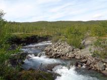
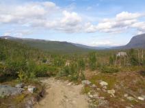
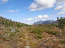
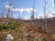
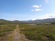
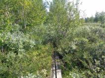
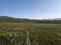
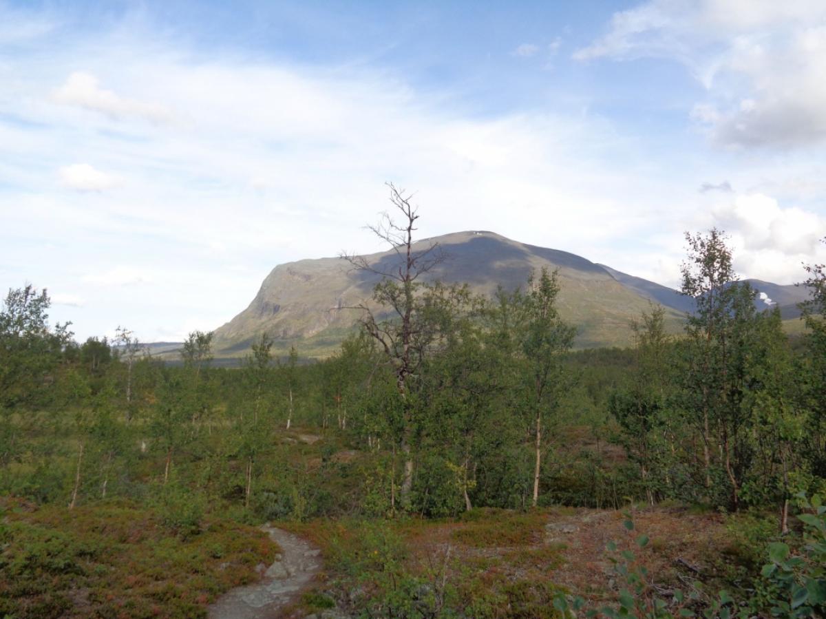
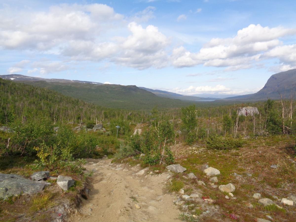
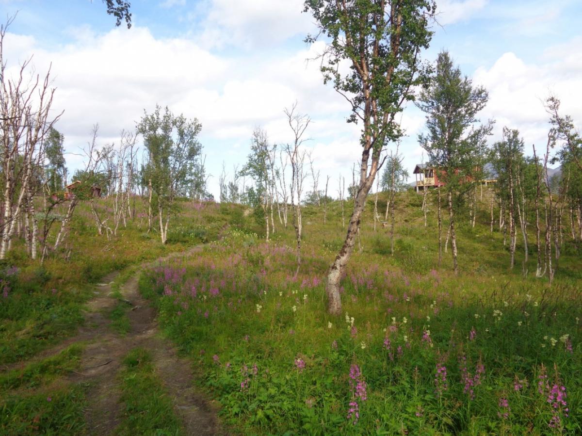
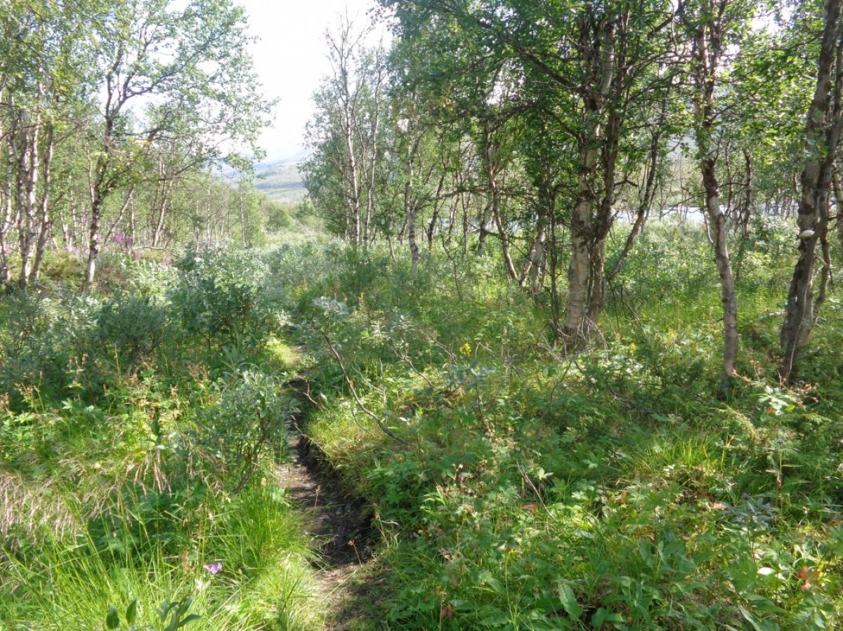
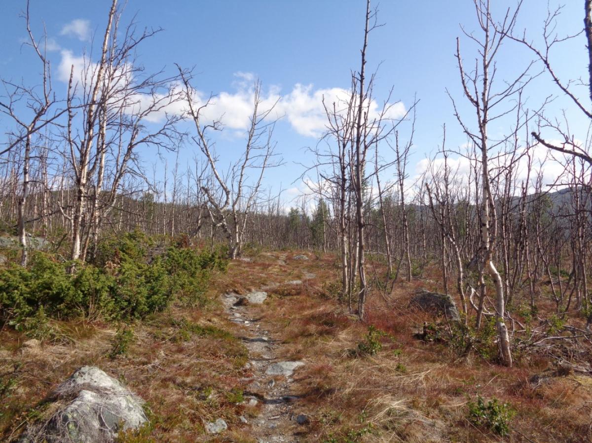
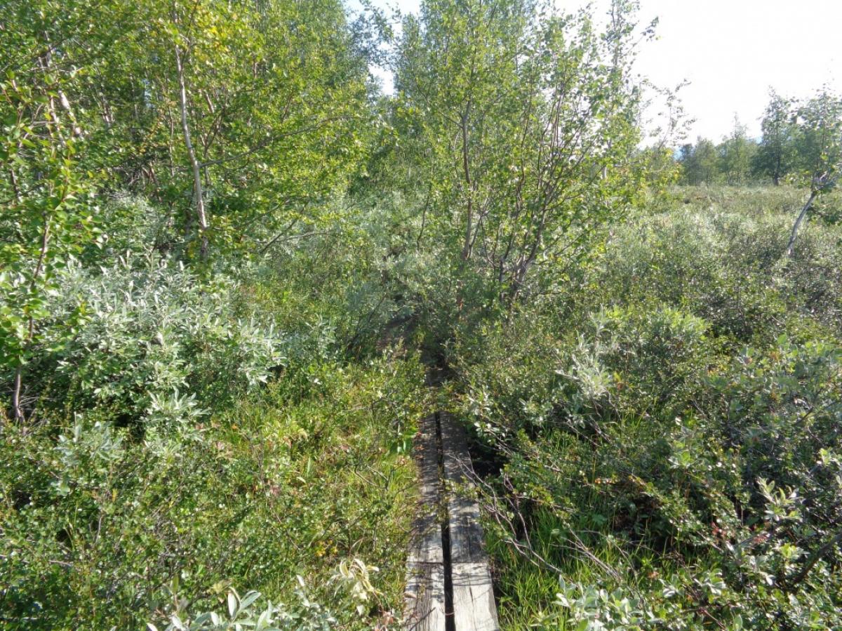
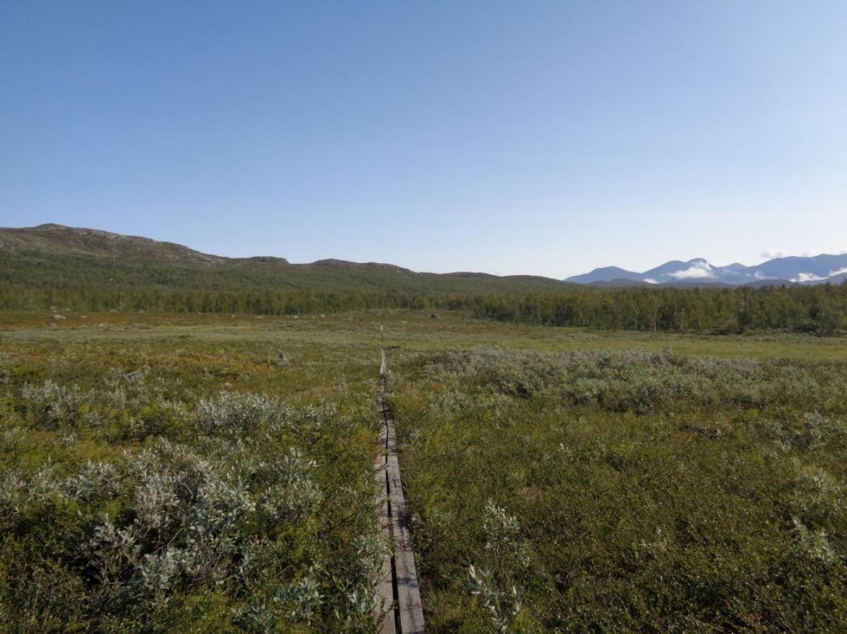
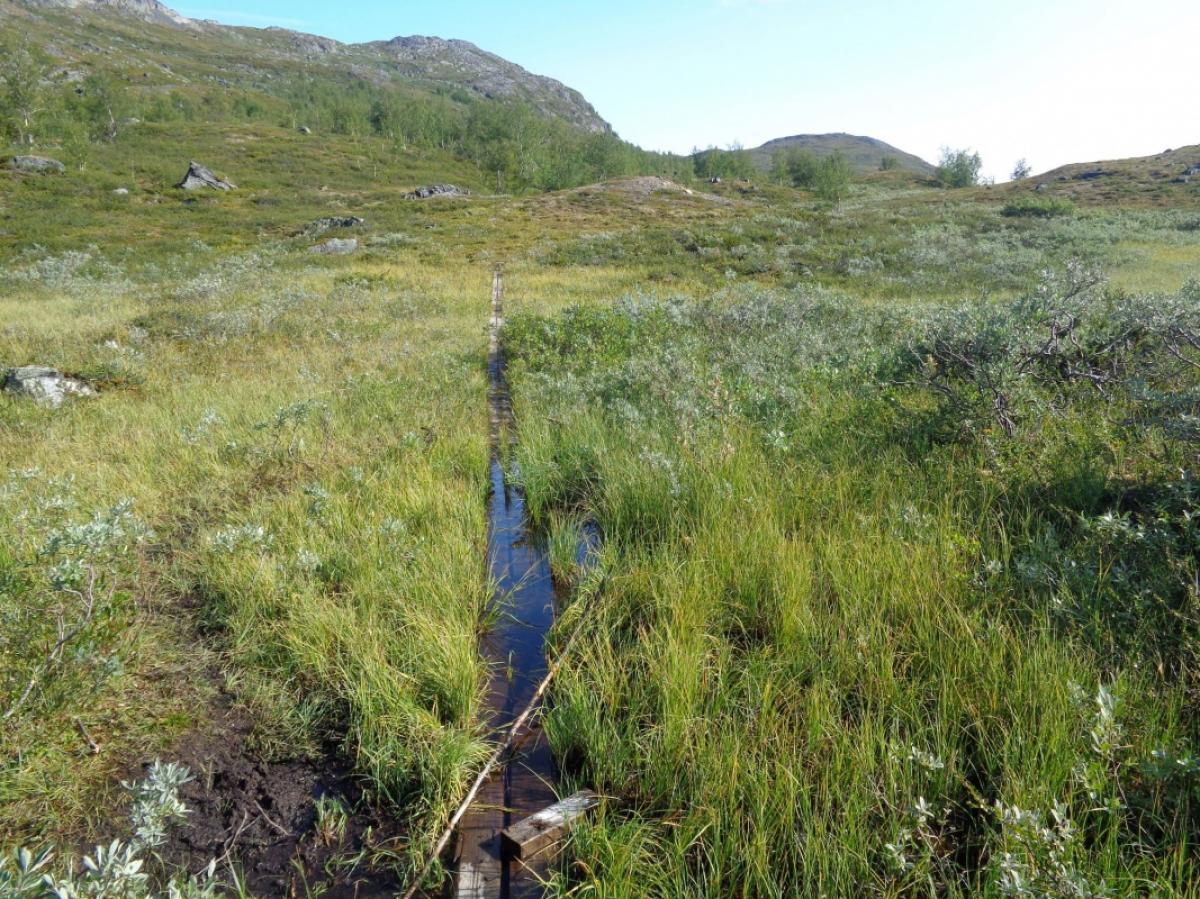
Die Etappe beginnt direkt an der Abiskojaurestugan - einfach dem Wegweiser folgen und man findet den leicht versteckten Weg Richtung Unna Allakas. Der Weg führt hauptsächlich durch Birkenwald, wobei die Landschaft zum Ende hin immer offener wird und sich kurz vor Unna Allakas zur Strauchsteppe hin verändert. Da die Strecke durch das weite Tal des Kamajåkka führt, gibt es keine nennenswerten Steigungen.
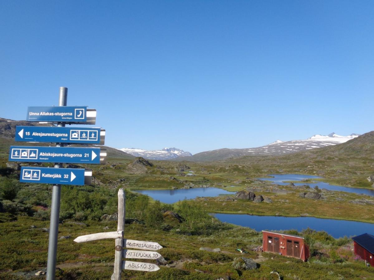
Nach etwa einem Drittel der Etappe wird die Siedlung Rovvidievá erreicht. Auf etwa halber Strecke gibt es eine Lichtung mit Feuerstelle, die anscheinend gerne als Zeltplatz genutzt wird. Die auf den Hinweisschildern angegebenen 21 km zwischen Unna Allakas und Abiskojaure stimmen definitiv nicht. Die Strecke ist eher 23 bis 24 km lang.
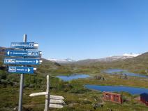
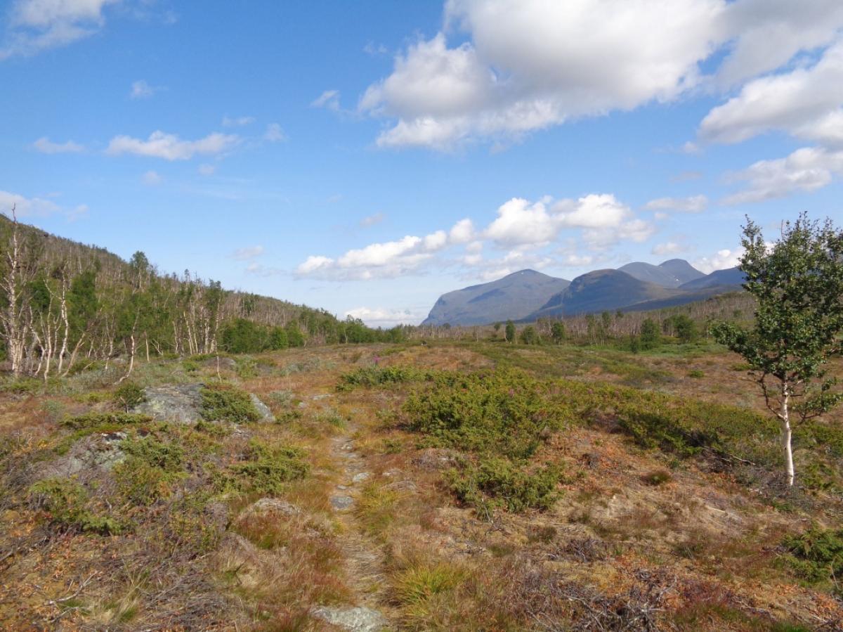
Obwohl der Weg deutlich weniger begangen ist als der Kungsleden, ist er gut ausgetreten und die Wegfindung sehr einfach. Man kommt ohne abbiegen zu müssen direkt auf die Unna Allaskasstugorna zu.
The following users contributed to this text:
Hiking maps
No maps added yet
Marking
-
 Hiking trail (Sweden)
Accommodation
| Accommodation | Price group | |||
|---|---|---|---|---|
| 0-200 SEK |
201-400 SEK |
401-600 SEK |
>600 SEK |
|
|
STF Abiskojaure Fjällstuga
Price group:
|
||||
|
Unna Allakas Fjällstuga
Price group:
|
||||
Links
DNT - Stage descriptions (PDF)
Detailed information by the DNT about the E1 from North Cape (NO) to Grövelsjön (SE). Including stage descriptions, accomodation, marks and maps. In norwegian language.
Sources and copyright
Information about accommodation, maps and marking of this stage is based on information by DNT (Den Norske Turistforening) - Published under CC BY-SA 4.0 License GPX track coordinates: © OpenStreetMap contributors. Published under Open Database License (ODbL)GPX-Downloads
You can use the GPX track for navigation and tour planning on your digital device (GPS, smartphone, online tour planner).
| Etappe Stage 04.02 Abiskojaurestugan - Unna Allakas | Download (.gpx) |
| All tracks in Norway, Finland and Sweden | Download (.zip) |
The download and many of the services offered on this page are free of charge. However, I would greatly appreciate a small donation as a token of appreciation for my work! This can be done through Paypal or a supporting membership. Thank you very much!