04.03 Unna Allakas - Cunojavri
5.1km
Distance
-
Walking time
74m
Total climb
75m
Total descent
Photos
Stage description
N.B.: We don't have an English description of the stage just yet. We'll give you the German version for now until the English version is ready.
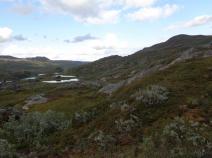
Auf dieser kurzen, einfach zu gehenden Etappe wechselt man von der schwedischen auf die norwegische Seite. Auch wenn der E1 in der Folge immer wieder auf schwedischem Staatsgebiet verläuft, erreicht die Streckenführung erst nach mehreren Tagen wieder eine schwedische Hütte.
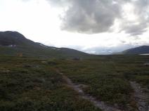
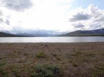
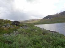
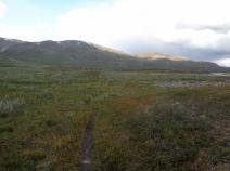
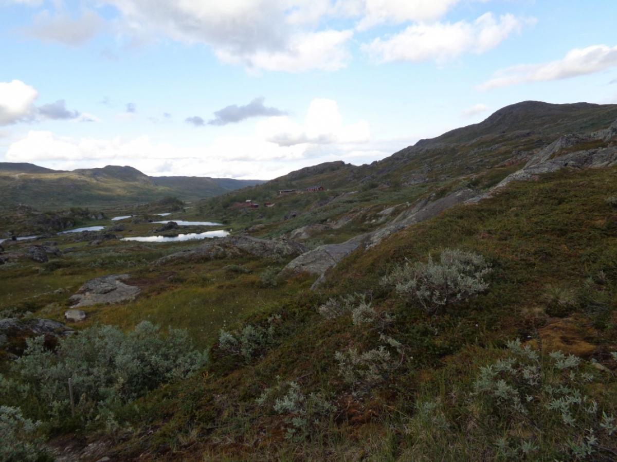
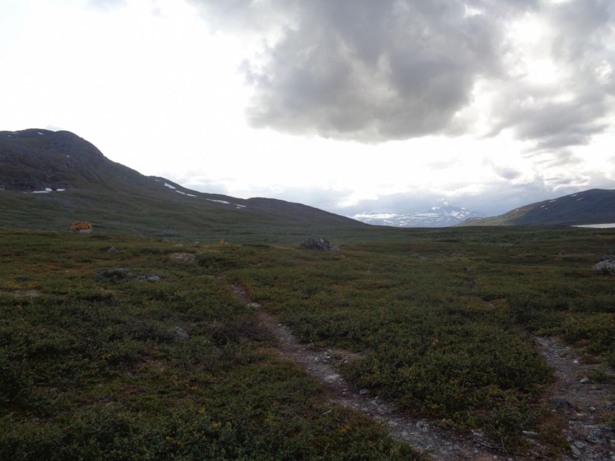
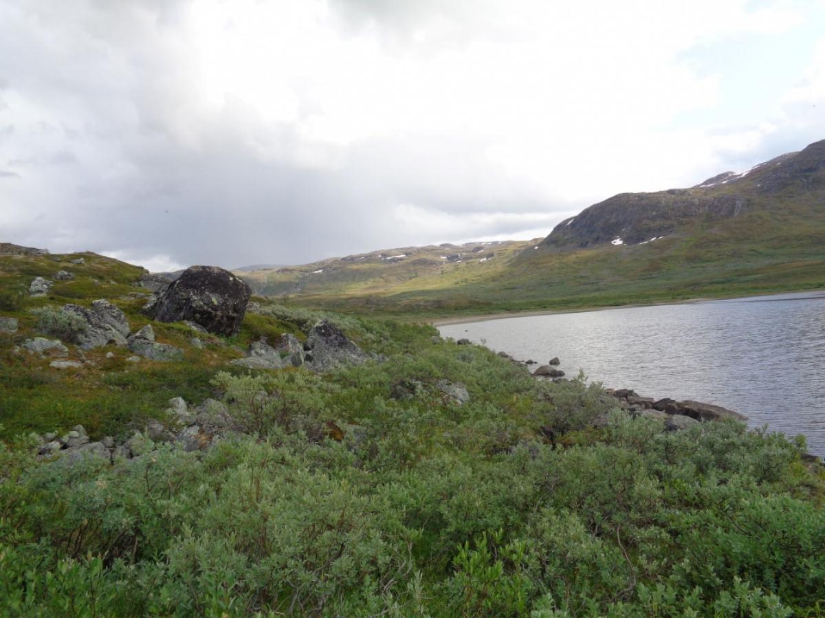
Der Weg führt zunächst zum Grenzstein 263, der über einen kurzen Abstecher erreicht werden kann, und dann weiter an das Nordostende des Čunojávri, wo sich ein kleiner Strand befindet. Unterhalb einer privaten Hütte führt der Weg weiter etwas abseits vom Seeufer durch leicht sumpfiges, aber gut zu wanderndes Gelände direkt zur Cunojávrihytta. Eine der Hütten dort ist im Sommer geöffnet und kann daher auch ohne DNT-Schlüssel genutzt werden.
Der Wegverlauf ist in den Wanderkarten falsch eingezeichnet (hier auf der Internetseite ist der korrekte Wegverlauf), tatsächlich geht der Weg deutlich näher am See entlang und verlässt die Cunojávrihytta auf eigener Strecke nach Norden. Auf den Wanderkarten verläuft das erste Stück von der Cunojávrihytta aus gemeinsam mit dem Weg Richtung Hunddalen und über eine Brücke. Diesen Weg und die Brücke muss man in Wahrheit nicht nutzen.
The following users contributed to this text:
Hiking maps
No maps added yet
Marking
-
 Hiking trail (Sweden)
Accommodation
| Accommodation | Price group | |||
|---|---|---|---|---|
| 0-200 SEK |
201-400 SEK |
401-600 SEK |
>600 SEK |
|
|
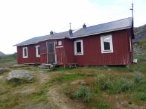
Unna Allakas Fjällstuga
Price group:
|
||||
| 0-200 NOK |
201-400 NOK |
401-600 NOK |
>601 NOK |
|
|
Cunojávrihytta
Price group:
|
||||
Links
DNT - Stage descriptions (PDF)
Detailed information by the DNT about the E1 from North Cape (NO) to Grövelsjön (SE). Including stage descriptions, accomodation, marks and maps. In norwegian language.
Sources and copyright
Information about accommodation, maps and marking of this stage is based on information by DNT (Den Norske Turistforening) - Published under CC BY-SA 4.0 License GPX track coordinates: © OpenStreetMap contributors. Published under Open Database License (ODbL)GPX-Downloads
You can use the GPX track for navigation and tour planning on your digital device (GPS, smartphone, online tour planner).
| Etappe Stage 04.03 Unna Allakas - Cunojavri | Download (.gpx) |
| All tracks in Norway, Finland and Sweden | Download (.zip) |
The download and many of the services offered on this page are free of charge. However, I would greatly appreciate a small donation as a token of appreciation for my work! This can be done through Paypal or a supporting membership. Thank you very much!