01.08 Bastingammen - Rukkujavri
22.9km
Distance
-
Walking time
488m
Total climb
402m
Total descent
Photos
Stage description
N.B.: We don't have an English description of the stage just yet. We'll give you the German version for now until the English version is ready.
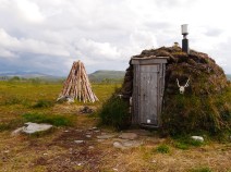
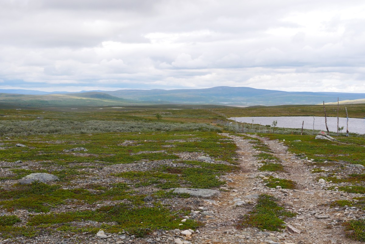
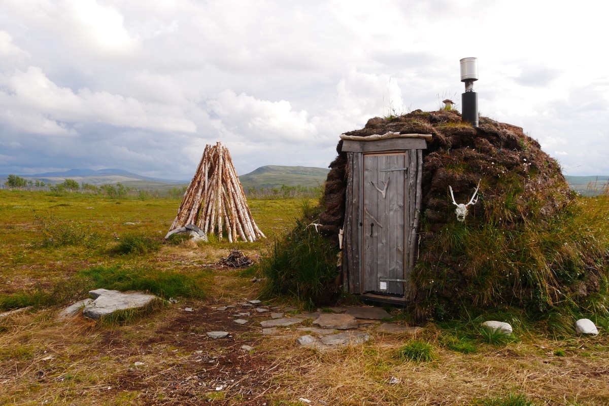
Von der neuen Bastingamme muss man erst wieder den Fluss Leaktojavri furten, um zum E1 zu kommen. Auf dem Westufer kann man den Rentierzaun entlang abkürzen und trifft so auf den E1.
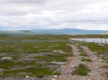
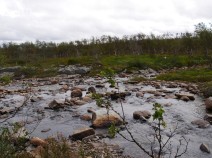
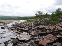
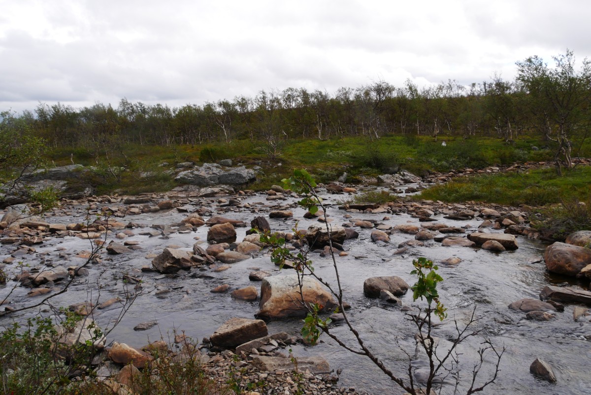
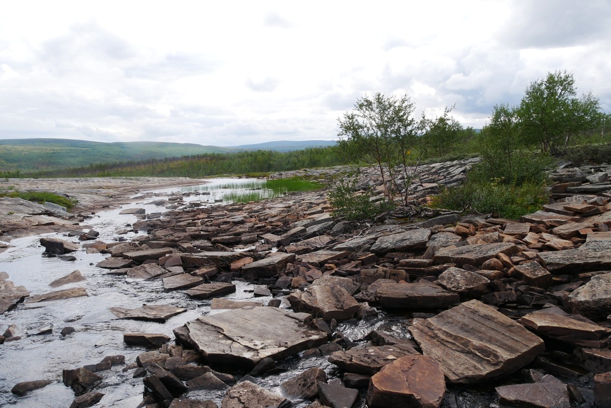
Dieser macht dann gleich einen Haken nach rechts und führt durch ein Gatter. Dann zum Teil auf einer Fahrspur, zum Teil abseits davon markiert durch lichten Wald, steinige und feuchte Gebiete bis zum Fluss Navgastatjohka. Bei günstigem Wasserstand kann dieser bei der Insel auf Steinen gekreuzt werden.
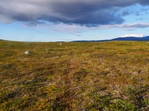
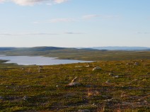
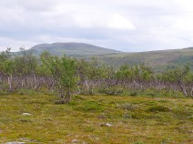
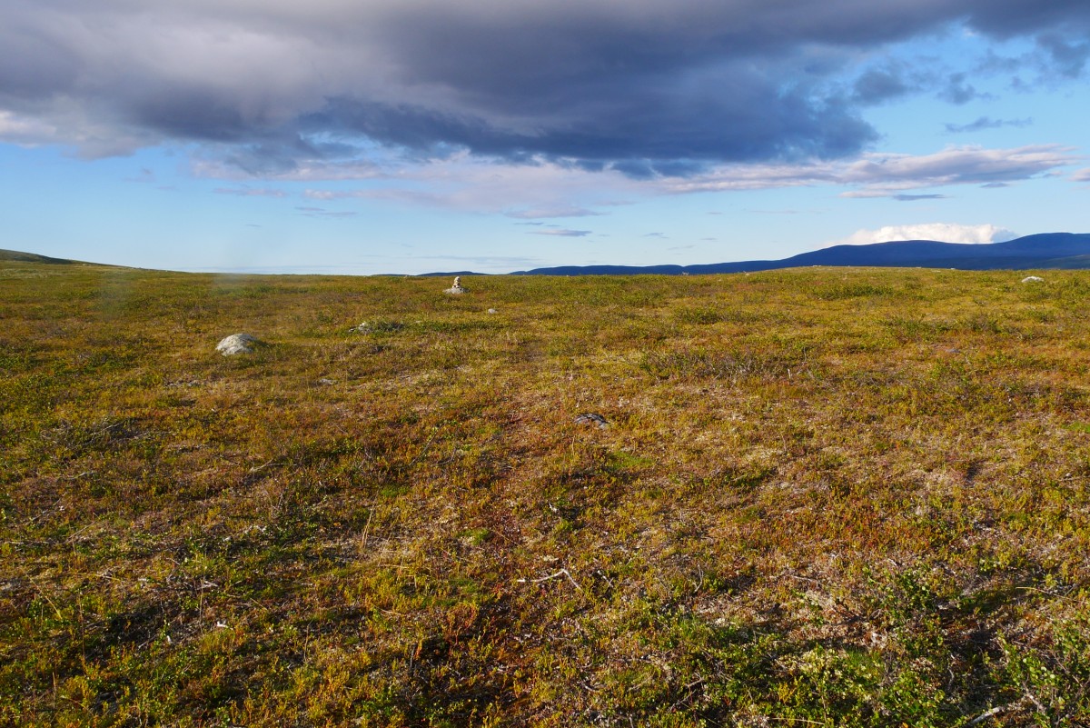
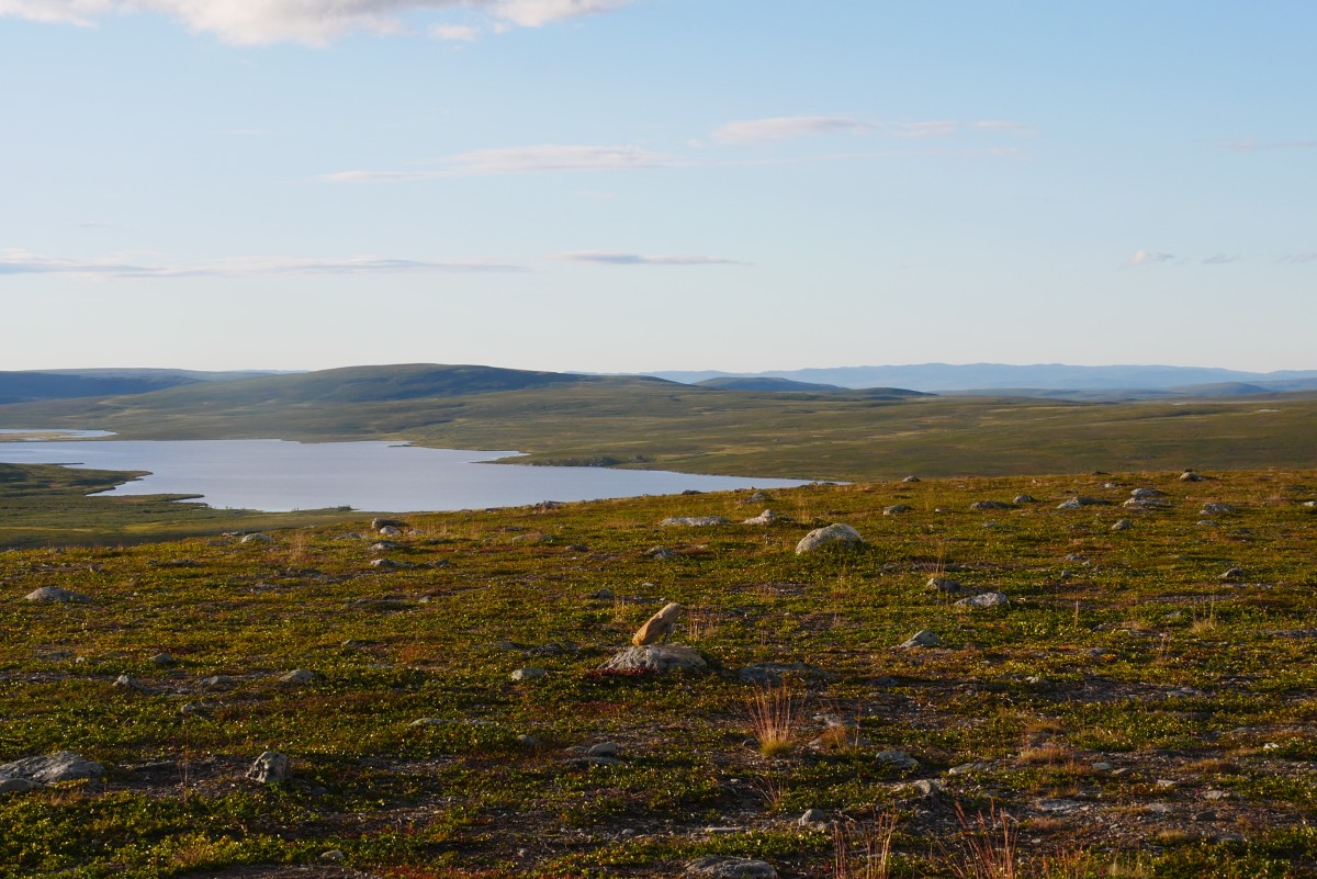
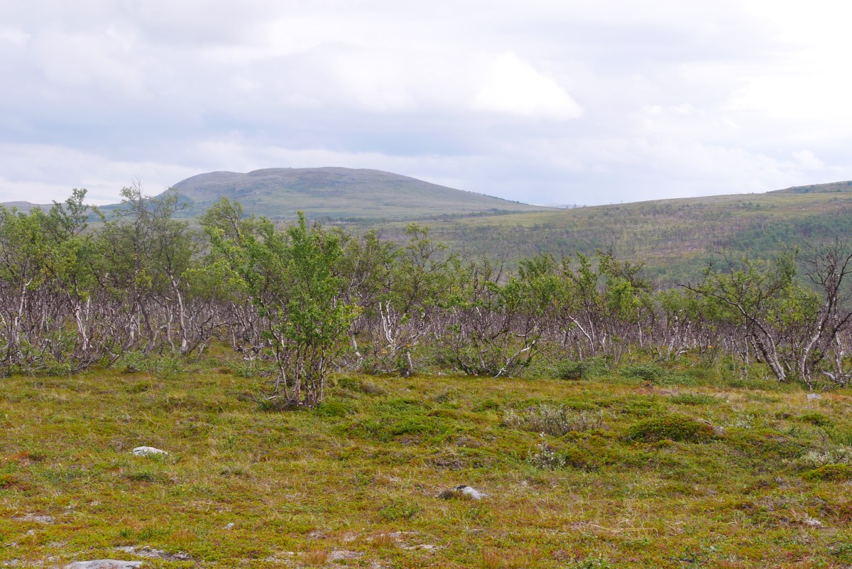
Dann aufwärts in baumloses Gebiet. An einem Rentierzaun ist die Markierung unklar. Sowohl geradeaus wie rechts am Zaun entlang gelangt man zur Anhöhe Bohkosgielas. Von dort auf schwacher Fahrspur hinab zum Abfluss des Sees (Zeltmöglichkeit).
Jenseits wieder über eine Anhöhe bis zu den beiden Abflüssen des Rukkujavri (Zeltmöglichkeiten).
Hiking maps
No maps added yet
Marking
-
 DNT Hiking Trail (Norway)
Accommodation
| Accommodation | Price group | |||
|---|---|---|---|---|
| 0-200 NOK |
201-400 NOK |
401-600 NOK |
>601 NOK |
|
|
Bastingammen
Sennalandet
Price group:
|
||||
Links
DNT - Stage descriptions (PDF)
Detailed information by the DNT about the E1 from North Cape (NO) to Grövelsjön (SE). Including stage descriptions, accomodation, marks and maps. In norwegian language.
Literature
Sources and copyright
GPX-Track: © OpenStreetMap contributors & waymarkedtrails.org (published under ODbL-License)
Information about accommodation, maps and marking of this stage is based on information by DNT (Den Norske Turistforening) - Published under CC BY-SA 4.0 LicenseGPX-Downloads
You can use the GPX track for navigation and tour planning on your digital device (GPS, smartphone, online tour planner).
| Etappe Stage 01.08 Bastingammen - Rukkujavri | Download (.gpx) |
| All tracks in Norway, Finland and Sweden | Download (.zip) |
The download and many of the services offered on this page are free of charge. However, I would greatly appreciate a small donation as a token of appreciation for my work! This can be done through Paypal or a supporting membership. Thank you very much!