08.03 Busjön - Id-Perssätern
16.9km
Distance
-
Walking time
513m
Total climb
499m
Total descent
Photos
Stage description
N.B.: We don't have an English description of the stage just yet. We'll give you the German version for now until the English version is ready.
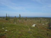
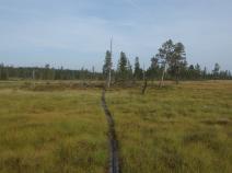
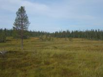
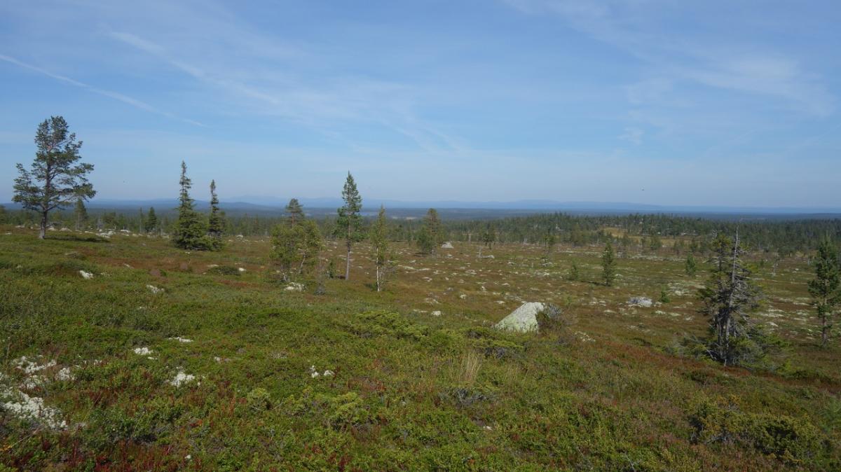
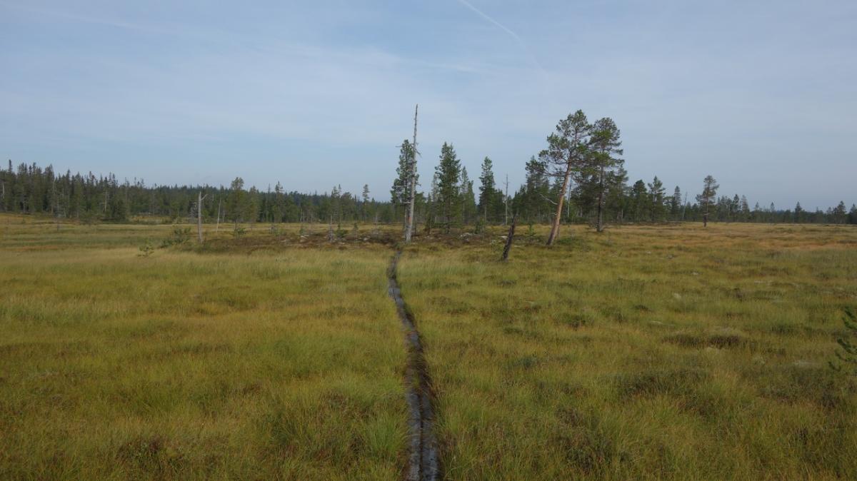
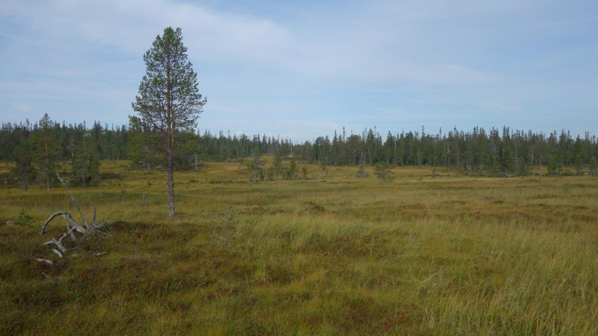
Vom Busjön geht es auf recht steinigem Pfad durch niedrige Krüppelwälder. Man bewegt sich auf etwa 800 Höhenmetern, mal drüber, mal drunter und bleibt so unterhalb der Baumgrenze. Es gibt viele moorige Abschnitte, mal liegen Planken drüber, mal muss man sich den Weg durch die nassen Flächen selber suchen. Aber stets folgt man weiter den roten Kreuzen, die auch von weitem gut auszumachen sind. Insgesamt sind die Wege hier nicht so gut, man merkt, dass dieser Abschnitt nicht oft begangen wird.
Hiking maps
No maps added yet
Marking
-
 Hiking trail (Sweden)
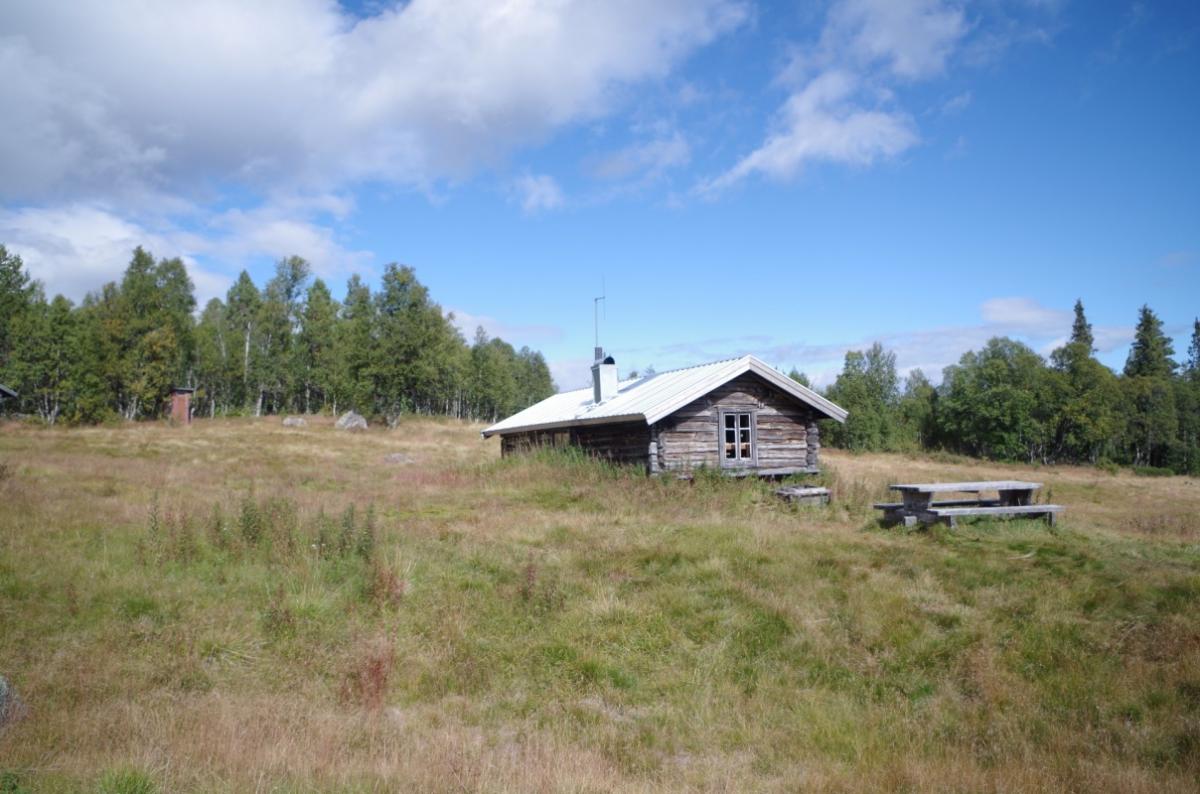
Accommodation
| Accommodation | Price group | |||
|---|---|---|---|---|
| 0-200 SEK |
201-400 SEK |
401-600 SEK |
>600 SEK |
|
|
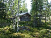
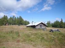
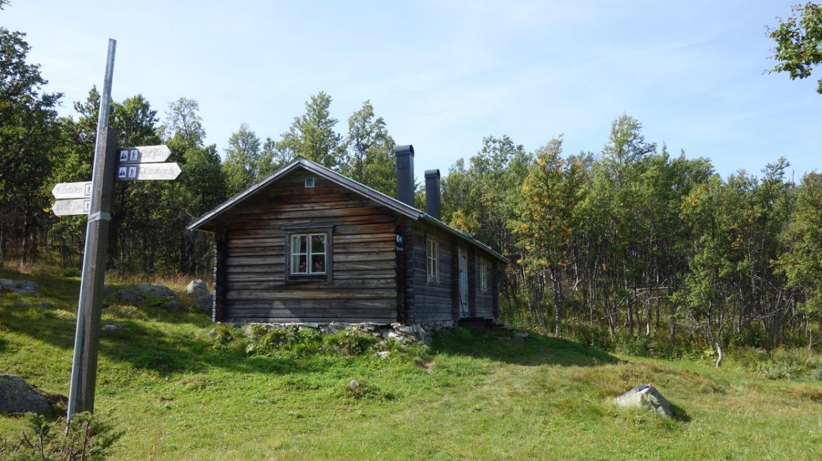
Busjön
Price group:
|
||||
|
Röskåsen
Price group:
|
||||
|
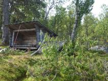
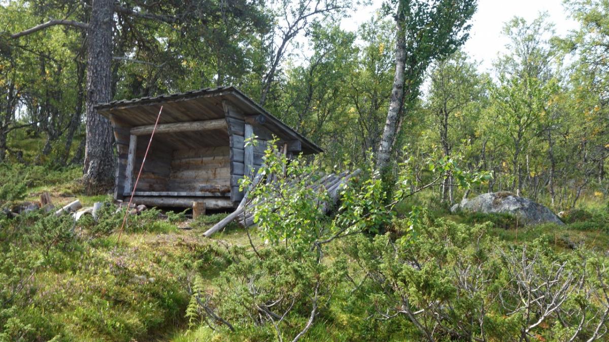
Vindskydd Trollkäringsboden
Price group:
|
||||
|
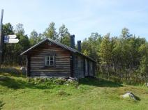
Id-Perssätern
Price group:
|
||||
Links
Flyer about souther Kungsleden (PDF)
General information, overview map and information about huts and shelters
Literature

GPX-Downloads
You can use the GPX track for navigation and tour planning on your digital device (GPS, smartphone, online tour planner).
| Etappe Stage 08.03 Busjön - Id-Perssätern | Download (.gpx) |
| All tracks in Norway, Finland and Sweden | Download (.zip) |
The download and many of the services offered on this page are free of charge. However, I would greatly appreciate a small donation as a token of appreciation for my work! This can be done through Paypal or a supporting membership. Thank you very much!