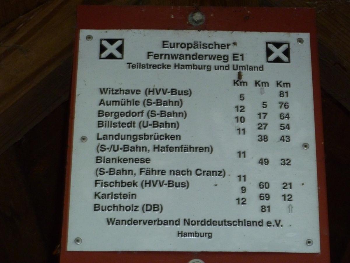
1.17 Güster - Witzhave
34.2km
Distance
-
Walking time
398m
Total climb
395m
Total descent
Photos

Stage description
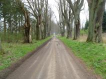
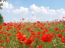
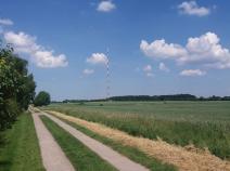
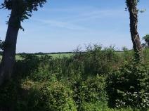
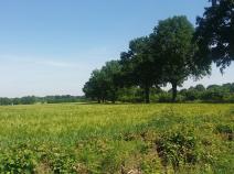
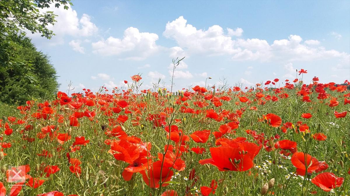
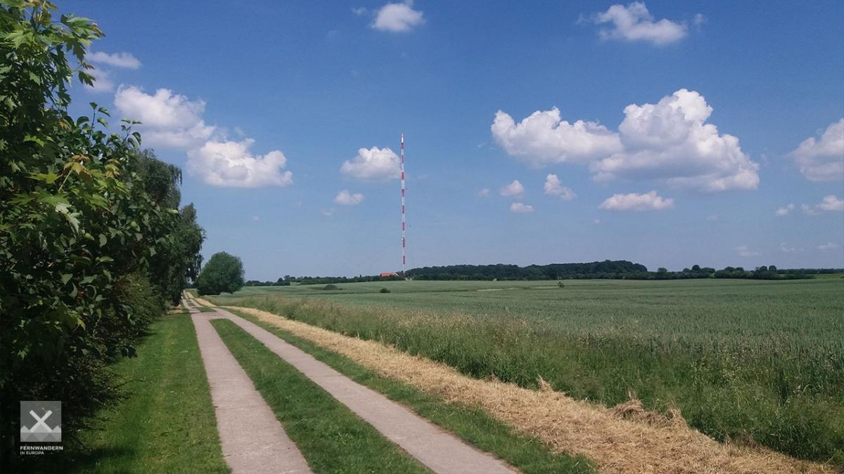
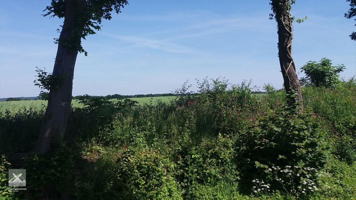
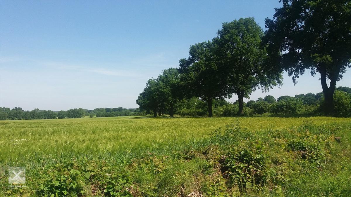
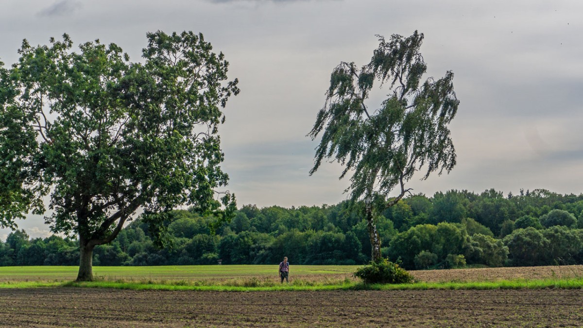
This is somewhat of a bridging stage between two traditional hiking areas around Ratzeburg and Mölln on the one hand an the Sachsenwald on the other. The trail is mainly on field footpaths across an appealing, slighly hilly landscape. By and large, the middle part of the stage follows paved paths. As some of the route markings at footpath crossing are missing, or have been covered by the undergrowth, it is good to have a map with you, or follow your GPS route.
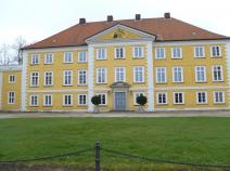
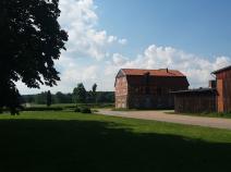
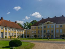
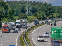
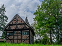
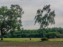
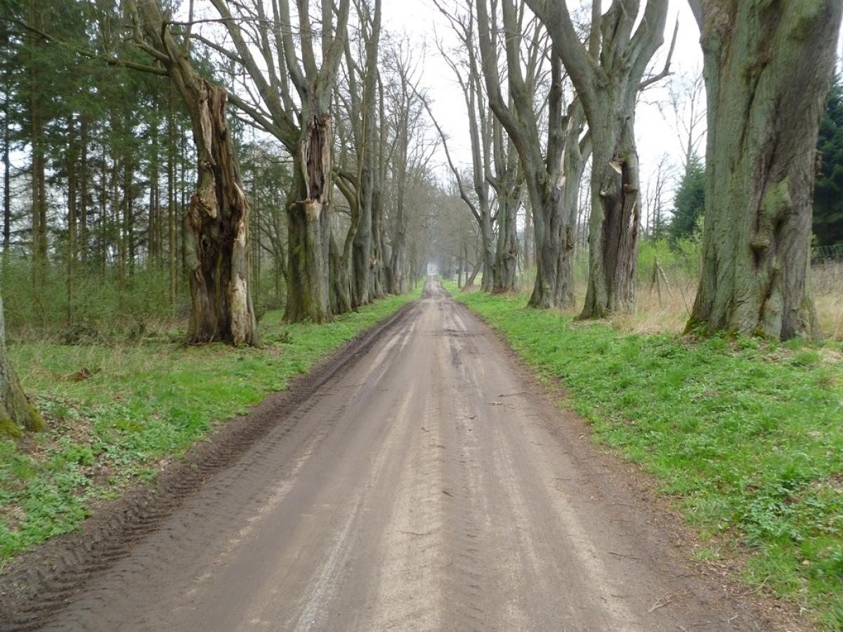
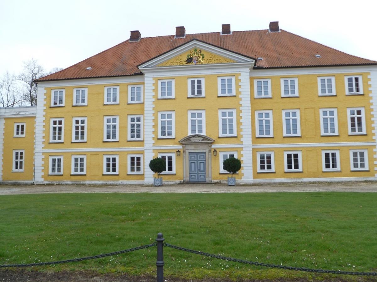
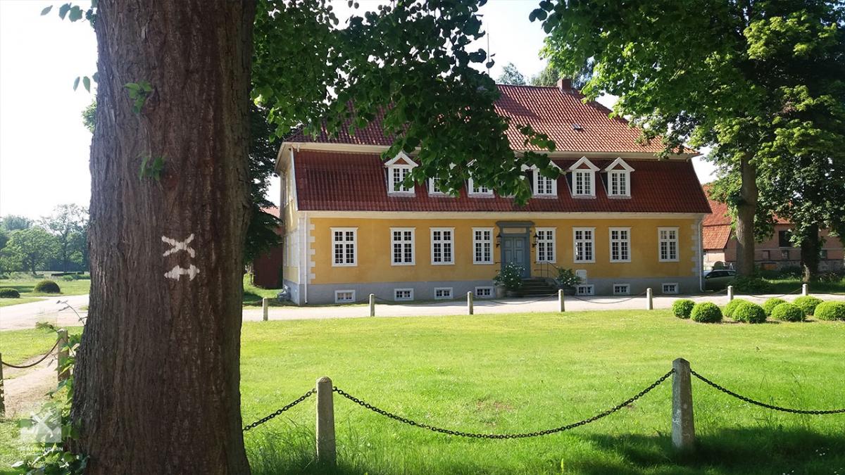
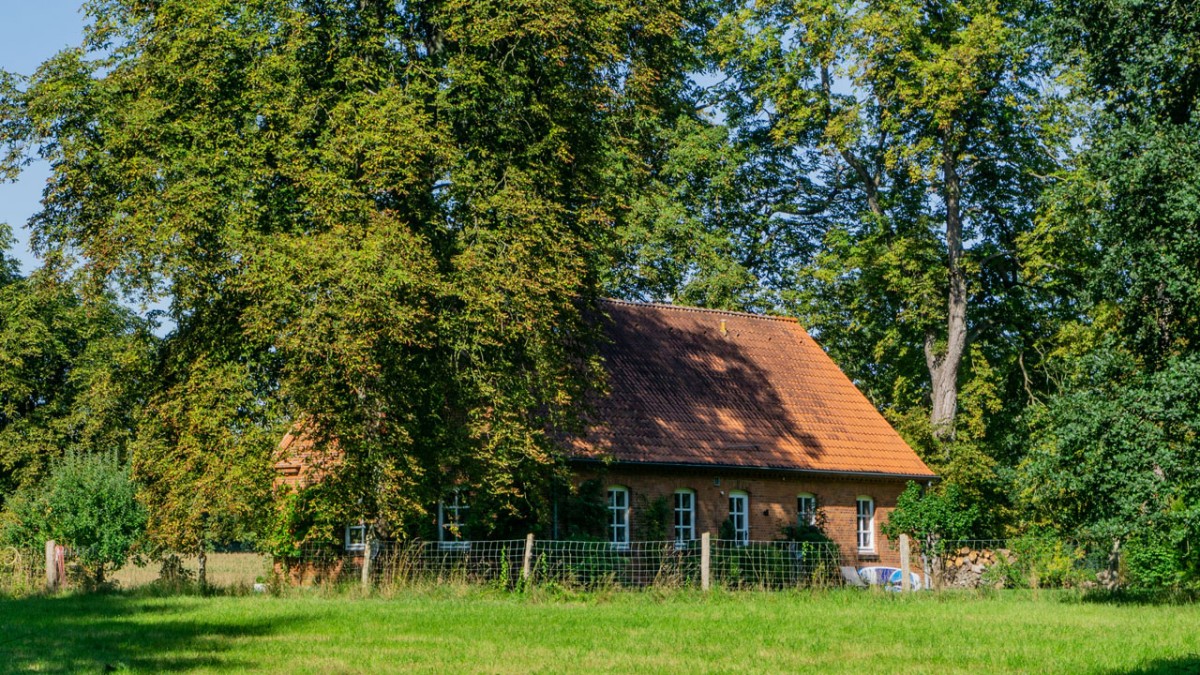
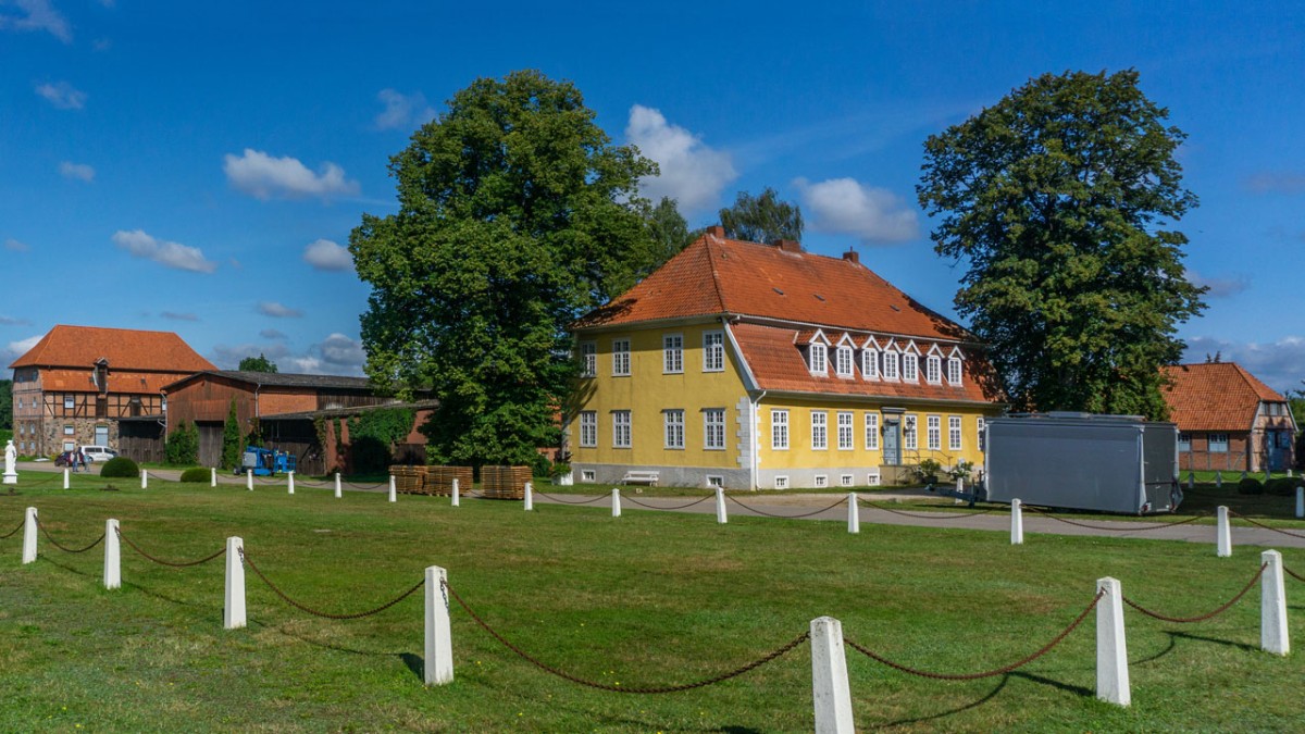
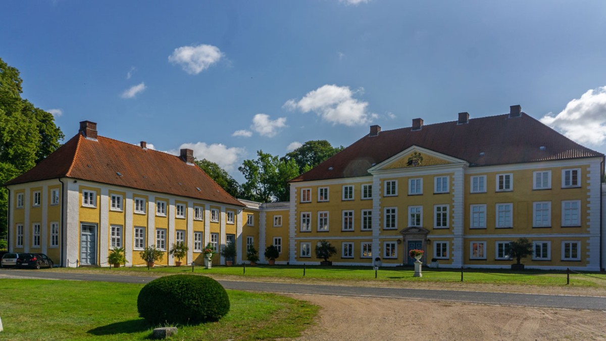
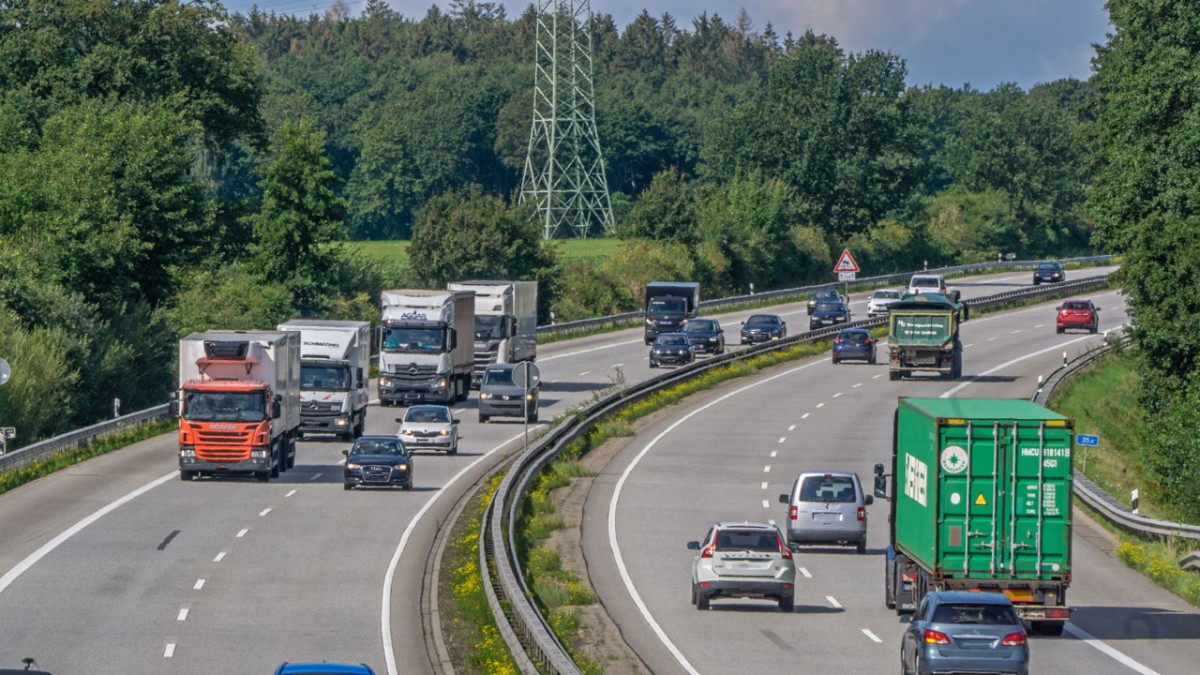
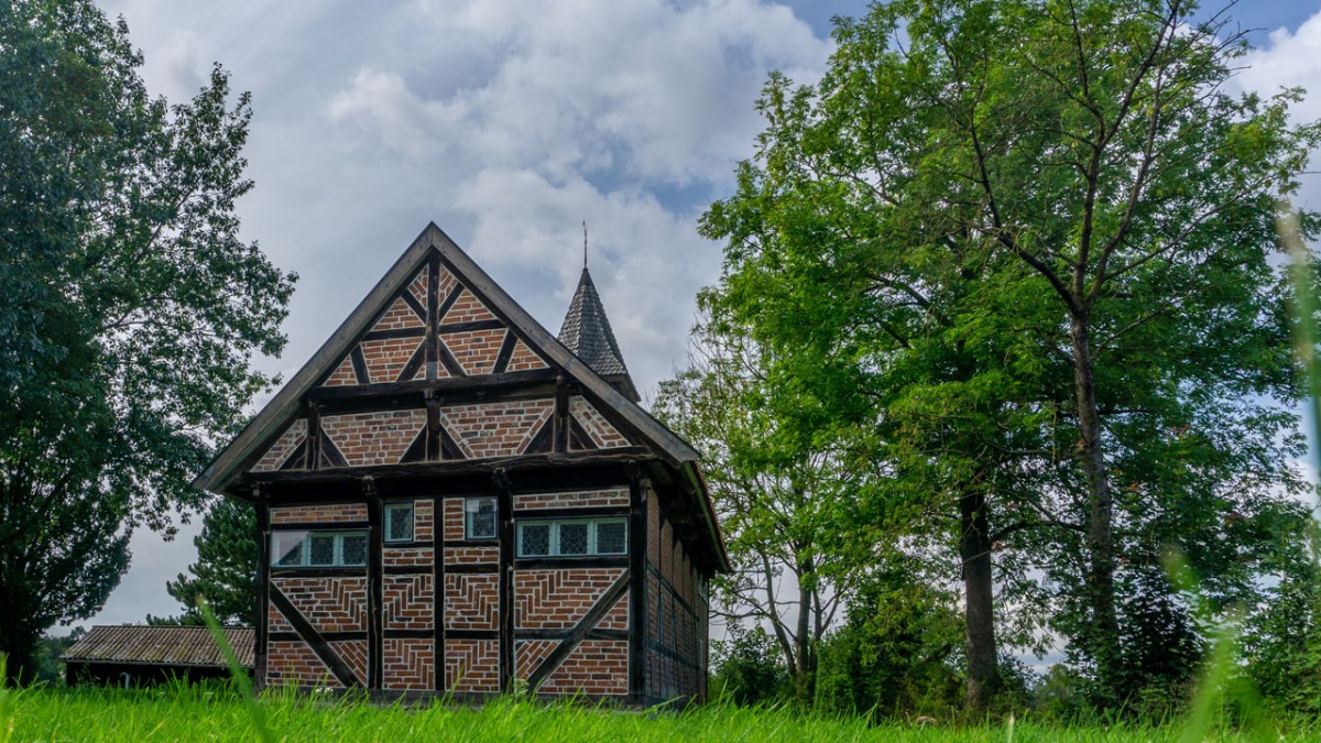
From Güster the path first follows through some woods until Roseburg, continuing through an avenue of trees before reaching Gut Wotersen, the stately home with its central, gold-yellow facade. The path mainly follows agricultural roads across this cultivated landscape shaped by local farms. Occasionally the trail crosses smaller woodland areas. The E1 then crosses the A24 autobahn, passes through Talkau and on westwards to the small town of Fuhlenhagen with its remarkable half-timbered church of St. George, one of the oldest of its type in northern Germany.
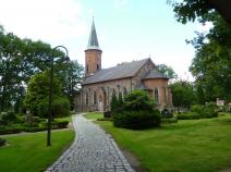
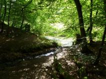
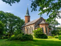
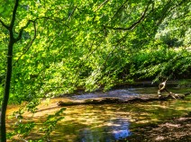
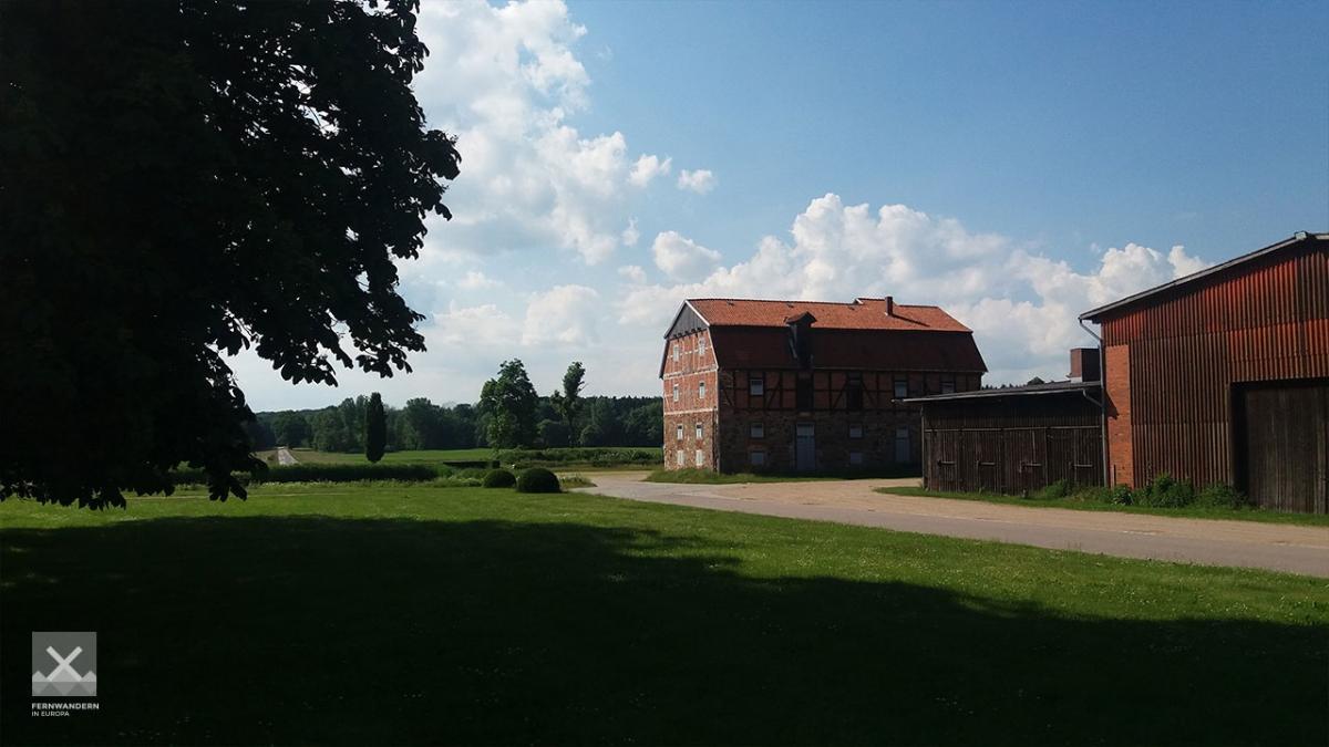
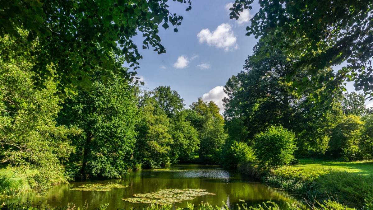
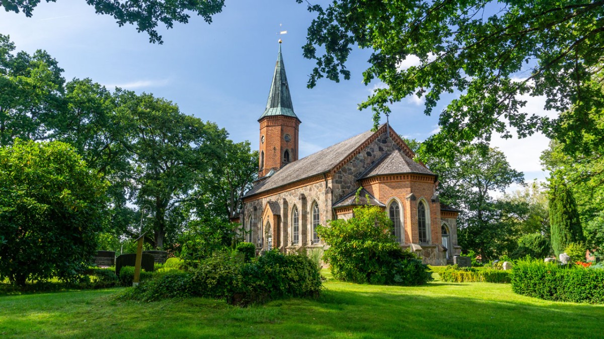
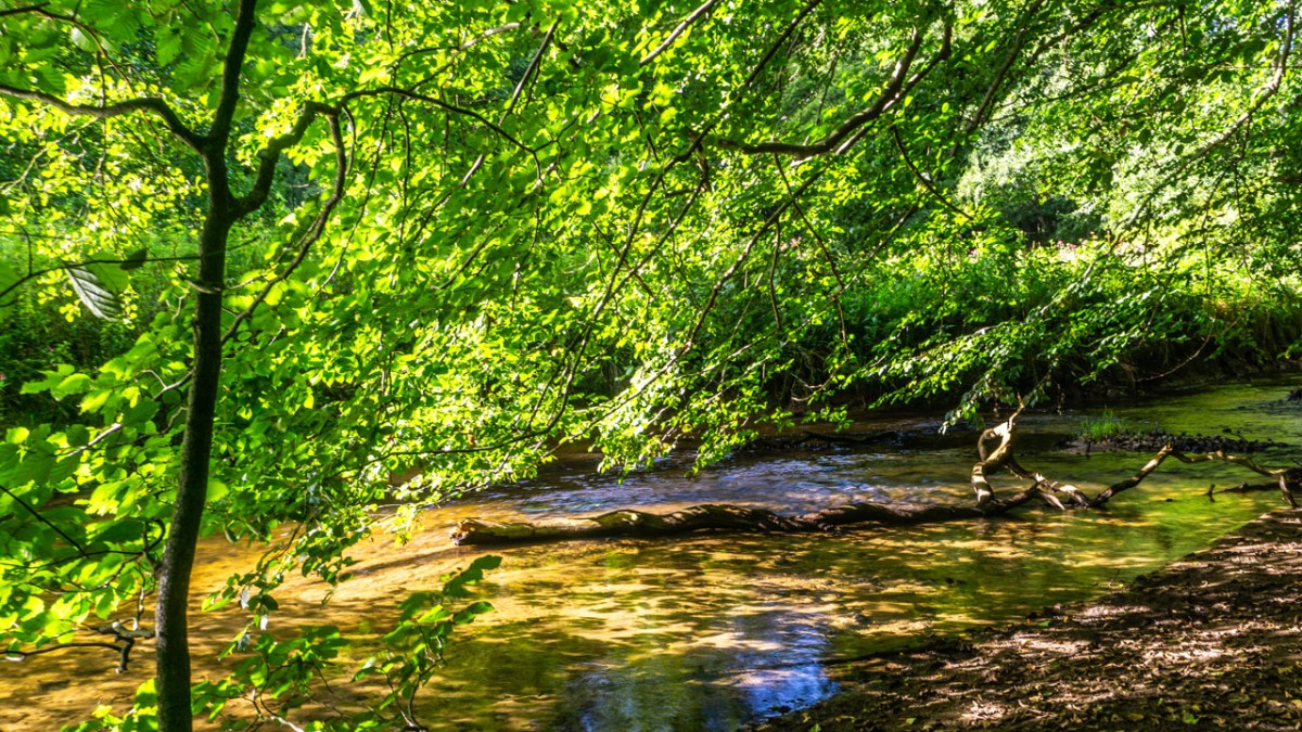
There is also a pretty church in the next village along the trail in Basthorst. This church is, however, much younger, dating back to the 19th century. From Kuddewörde, the path follows a road for a short while until it reaches Grander Mühle (hotel and restaurant). Just after this, the stage profile changes significantly – along gentle footpaths, the E1 follows the River Bille, which will be a major feature of the next stage. Over a small bridge and we end the stage near the small town of Witzhave.
Hiking maps
No maps added yet
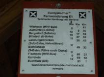
Marking
-
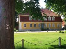
 St. Andrew's cross / E1
Accommodation
| Accommodation | Price group | |||
|---|---|---|---|---|
| 5-15 € | 16-30 € | 31-45 € | >45 € | |
|
Freizeitwelt Güster
Güster
Price group: 5-15 €
|
|
|||
|
Badeinsel am Prüß-See
Güster
Price group: €
|
||||
|
Ferienwohnung Edith
Güster
Price group: €
|
||||
|
Ihr Zuhause auf Zeit
Güster
Price group: €
|
||||
|
Gaststätte Hans Heitmann
Wotersen
Price group: 30-45 €
|
|
|||
|
Gut Basthorst
Basthorst
Price group: >45 €
|
|
|||
|
Gasthof zur Eiche
Kuddewörde
Price group: 15-30,30-45 €
|
|
|
||
|
Zimmervermietung Brockt-Rehberg
Witzhave
Price group: 15-30 €
|
|
|||
|
Hotel Pünjer
Witzhave
Price group: >45 €
|
|
|||
|
Show more accommodation in Basthorst
(booking.com / Ad)
|
||||
Sights
-
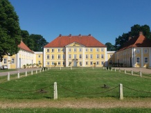
Gut Wotersen
Der E1 verläuft direkt zwischen dem Herrenhaus und den umliegenden Wirtschaftsgebäuden des Gut Wotersen. Das Herrenhaus ist nicht öffentlich zugänglich und befindet sich in Privatbesitz.
-
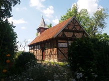
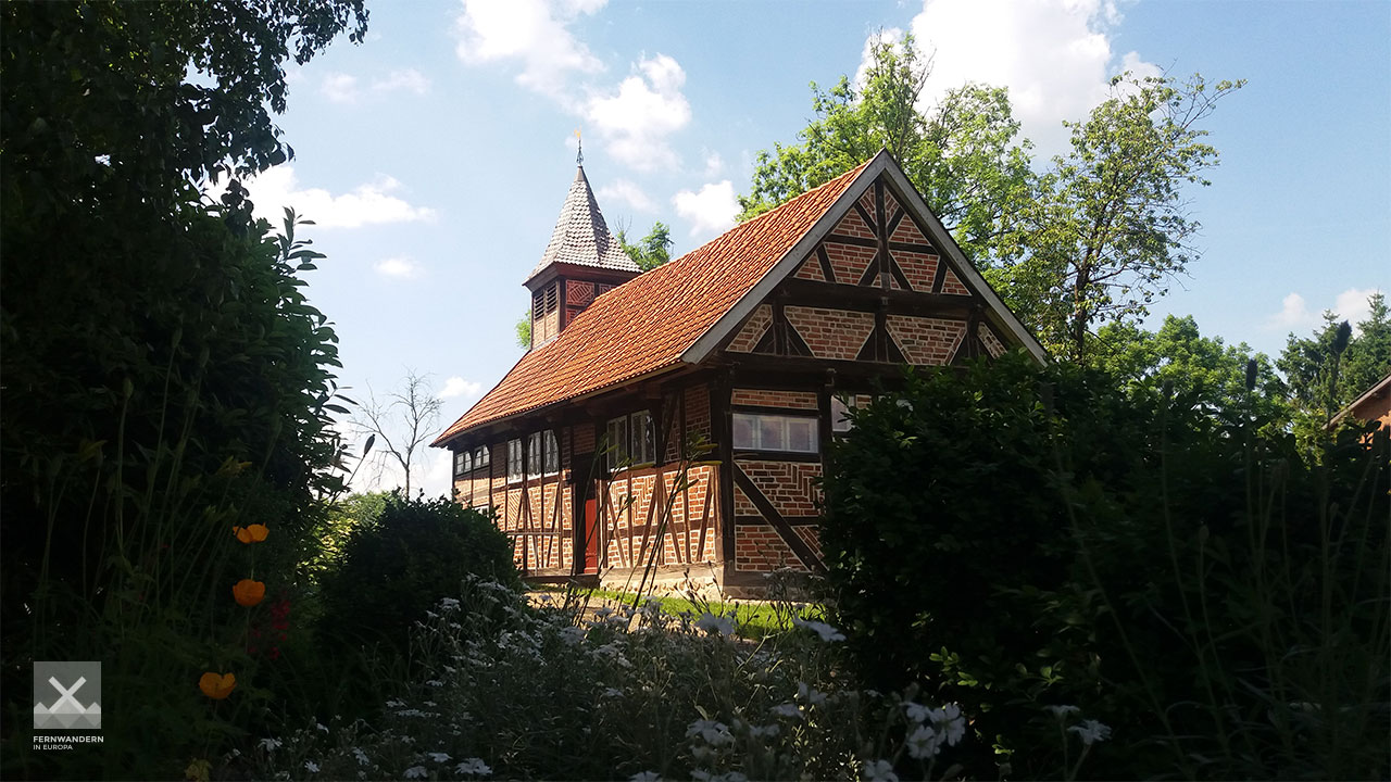
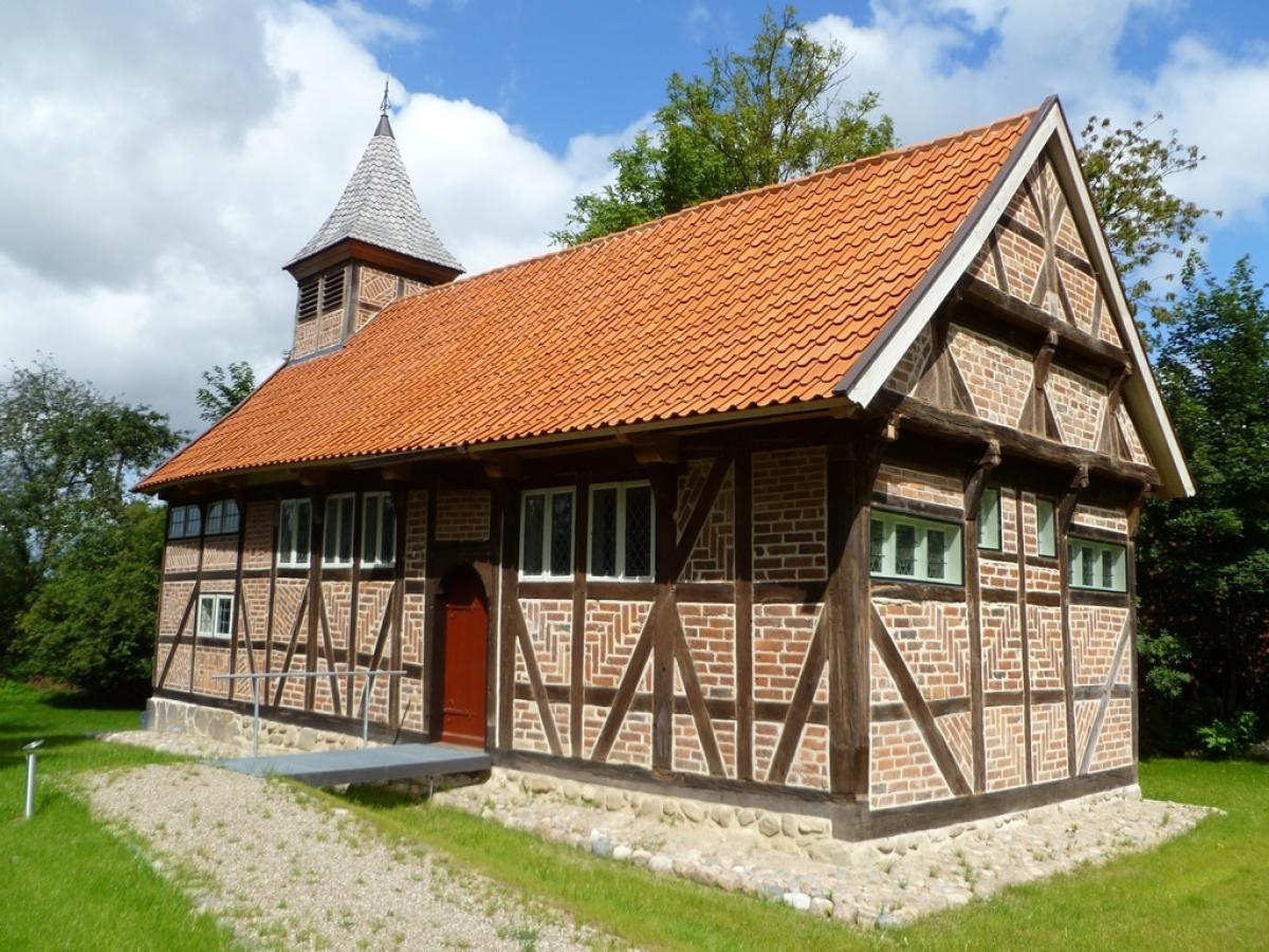
Fachwerkkapelle St. Georg (Chapel of St. George in Fuhlenhagen)
The listed half-timbered chapel St. George is one of the oldest half-timbered chapels in Northern Germany.
Literature

Sources and copyright
GPX track coordinates: © OpenStreetMap contributors. Published under Open Database License (ODbL)GPX-Downloads
You can use the GPX track for navigation and tour planning on your digital device (GPS, smartphone, online tour planner).
| Etappe Stage 1.17 Güster - Witzhave | Download (.gpx) |
| All tracks in Germany | Download (.zip) |
The download and many of the services offered on this page are free of charge. However, I would greatly appreciate a small donation as a token of appreciation for my work! This can be done through Paypal or a supporting membership. Thank you very much!