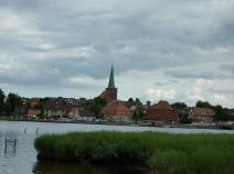
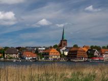
1.11 Schönwalde - Neustadt
20.4km
Distance
-
Walking time
267m
Total climb
358m
Total descent
Photos


Stage description
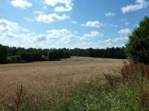
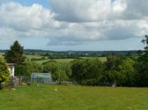
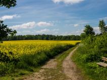
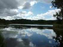
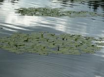
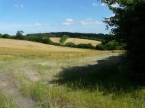
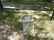
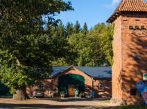
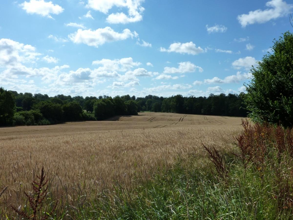
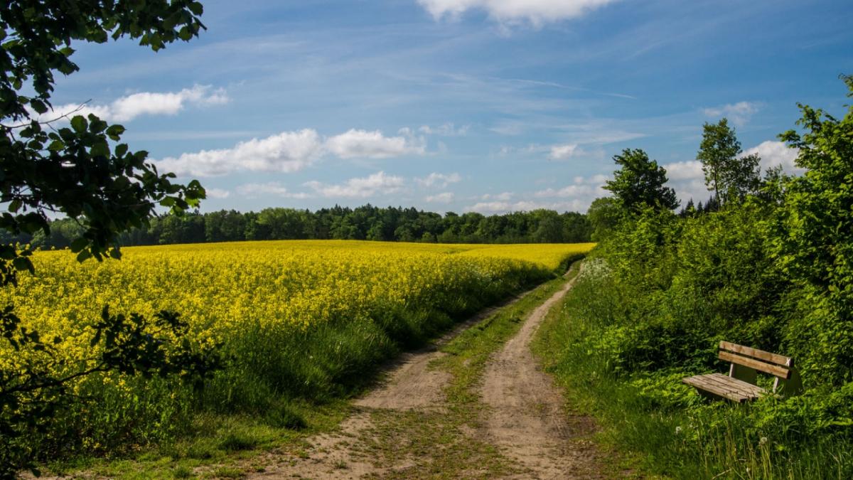
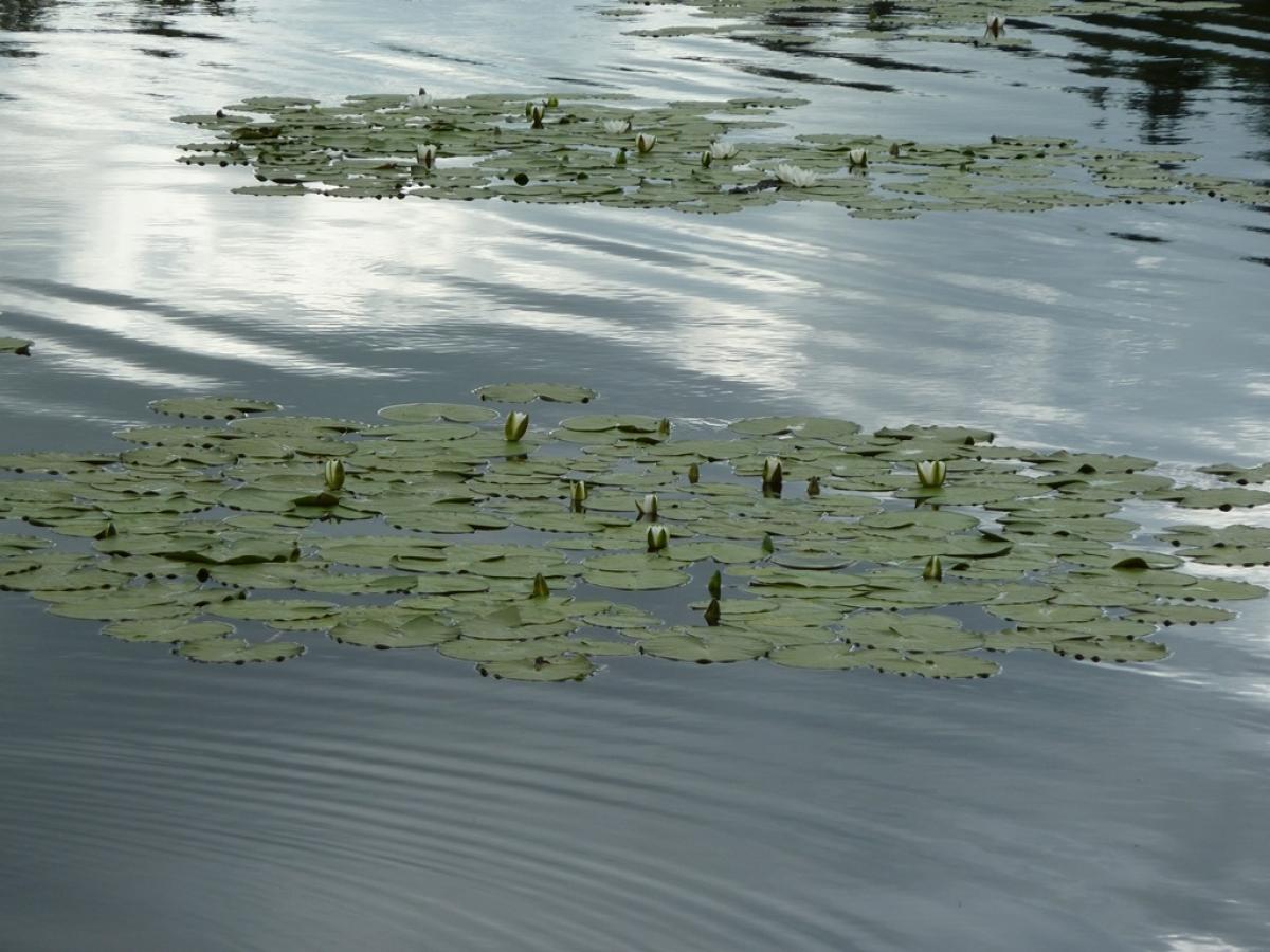
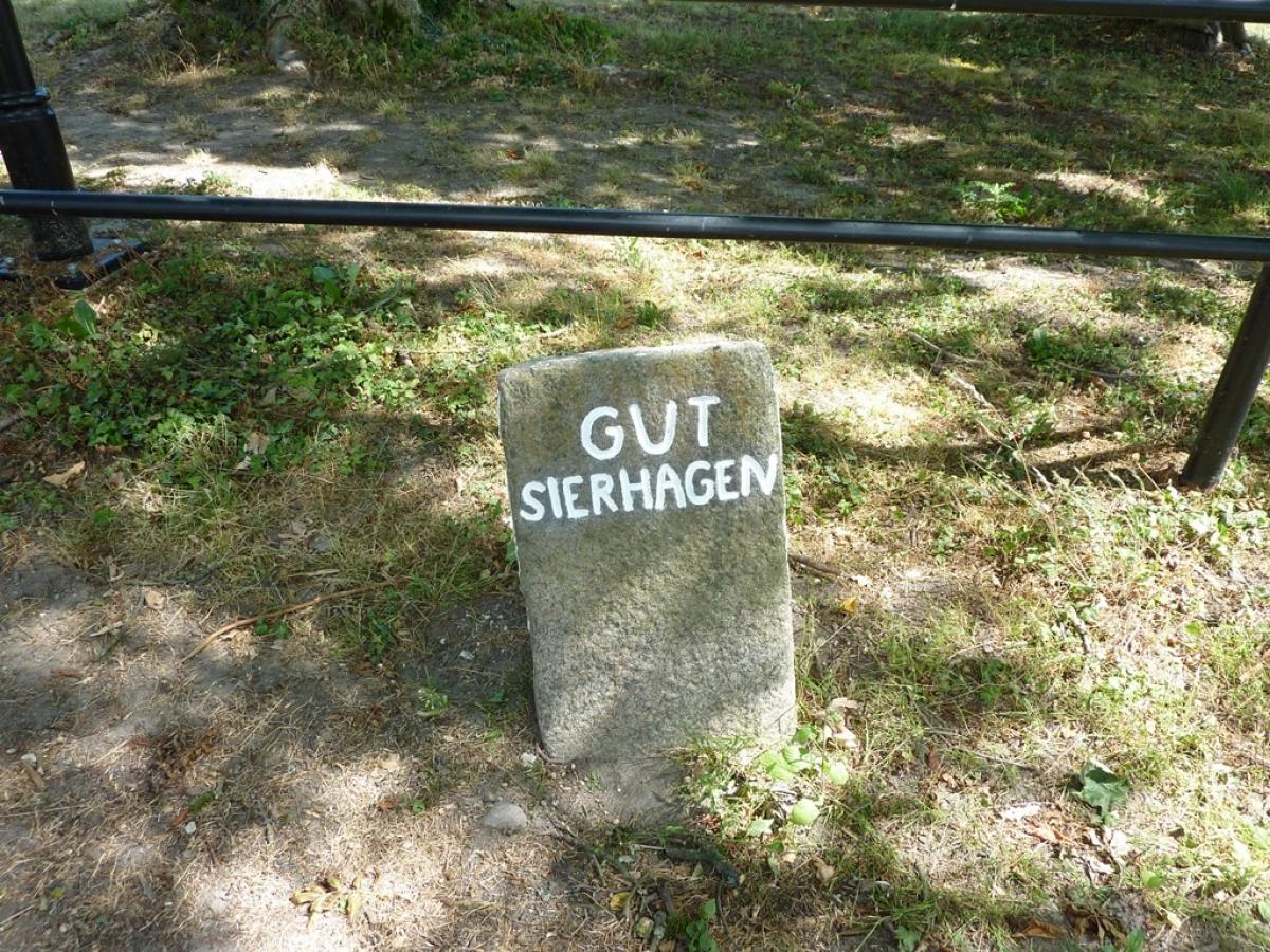
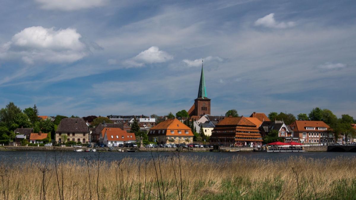
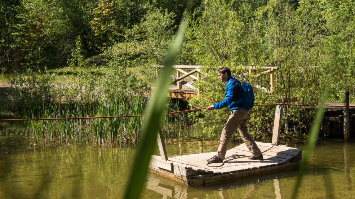
This is an absolute highlight stage along the E1: stunning landscapes around the Kosseedorf Ponds and a hilly profile regularly interspersed with great views. You are even allowed to walk through the attractive private property of the Gut Sierhagen manor farm and at the end there is the coastal waters of Neustadt – wonderful for those who like take in some water. The trail is mainly just how hikers like it: dirt tracks, many of them straight, but not that they are boringly dead straight.
Hiking maps
No maps added yet
Marking
-
 St. Andrew's cross / E1
Accommodation
|
Show more accommodation in Schönwalde am Bungsberg
, Kasseedorf
and Neustadt in Holstein
(booking.com / Ad)
|
Literature

Sources and copyright
GPX track coordinates: © OpenStreetMap contributors. Published under Open Database License (ODbL)GPX-Downloads
You can use the GPX track for navigation and tour planning on your digital device (GPS, smartphone, online tour planner).
| Etappe Stage 1.11 Schönwalde - Neustadt | Download (.gpx) |
| All tracks in Germany | Download (.zip) |
The download and many of the services offered on this page are free of charge. However, I would greatly appreciate a small donation as a token of appreciation for my work! This can be done through Paypal or a supporting membership. Thank you very much!