1.10 Eutin - Schönwalde
18.8km
Distance
-
Walking time
413m
Total climb
345m
Total descent
Photos


Stage description
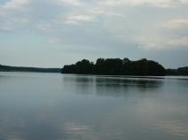
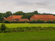
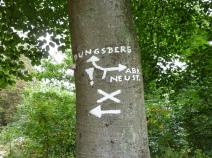
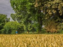
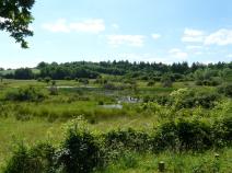
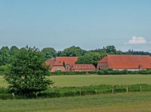
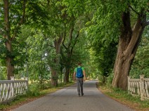
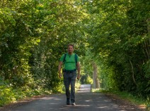
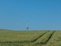
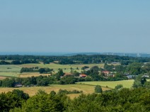
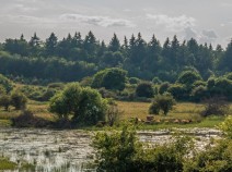
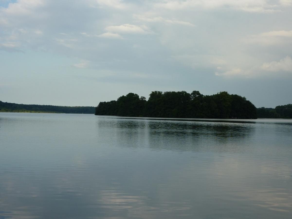
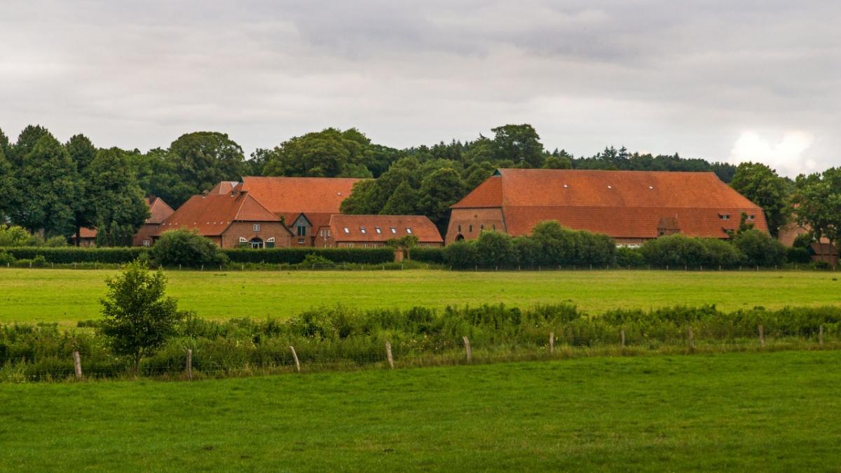
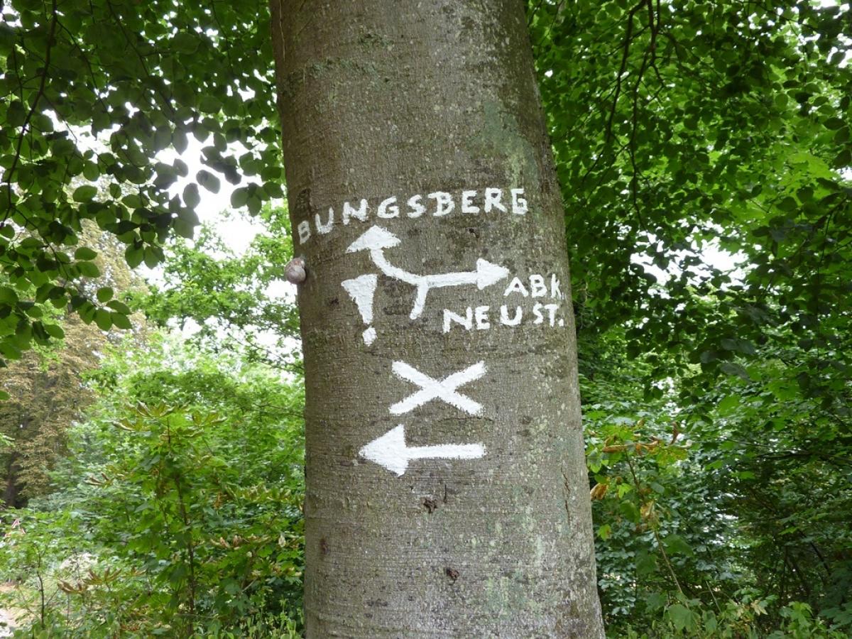
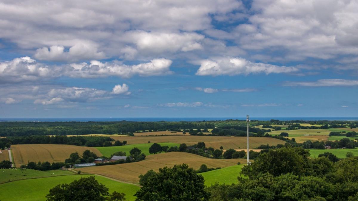
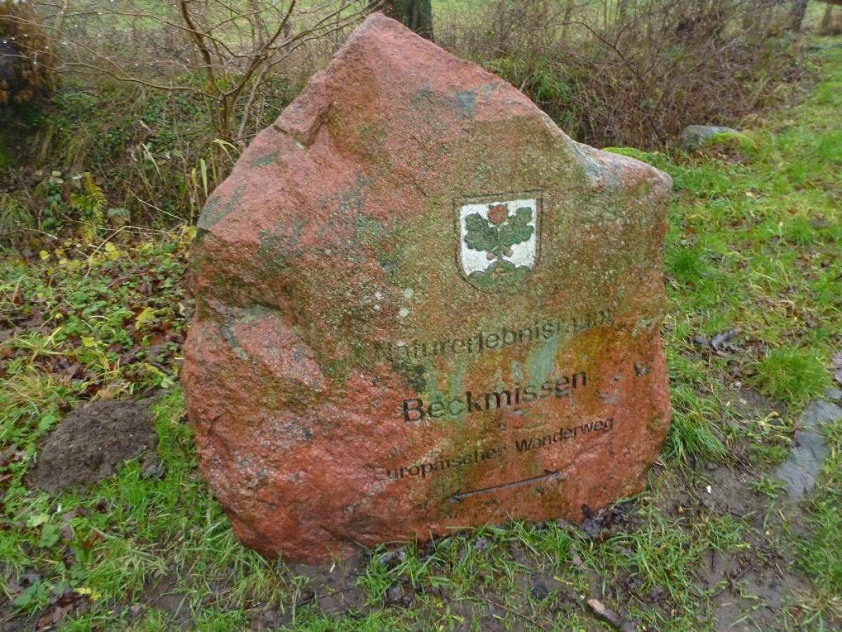
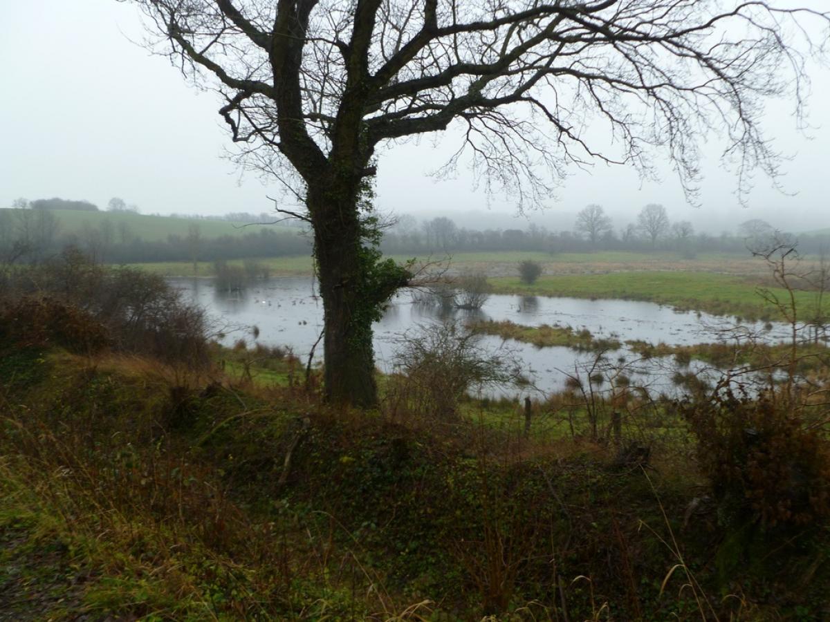
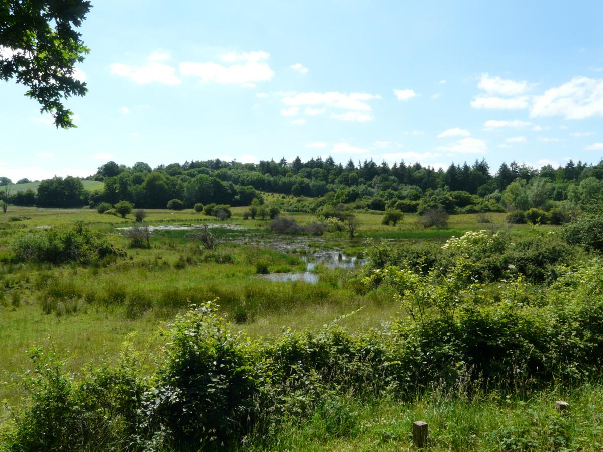
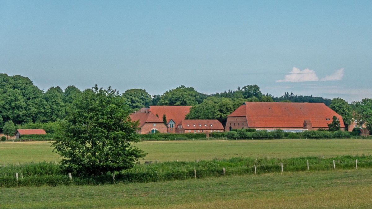
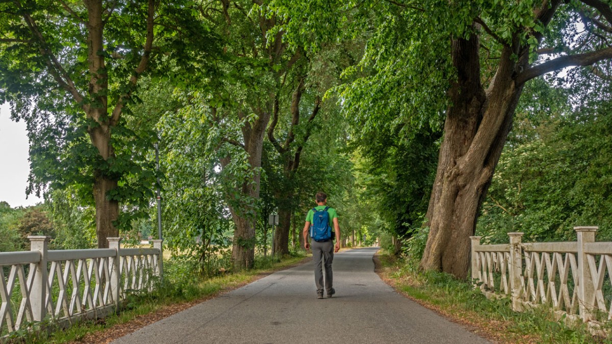
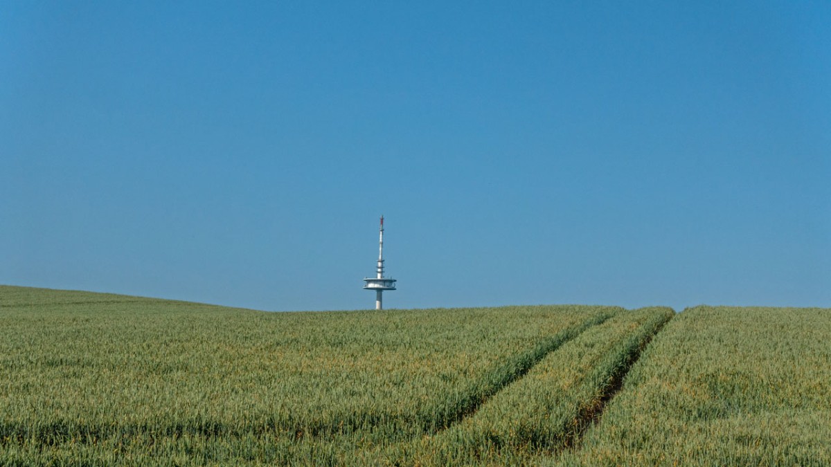
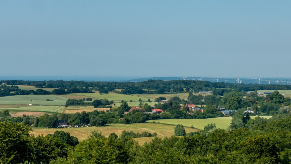
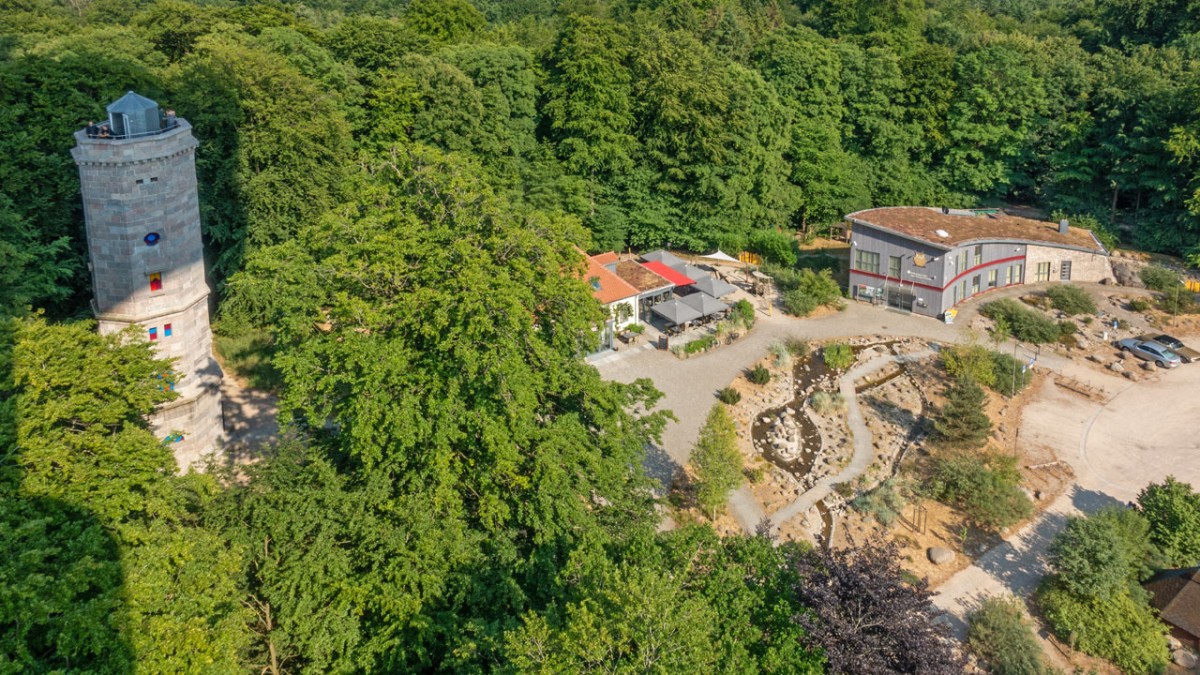
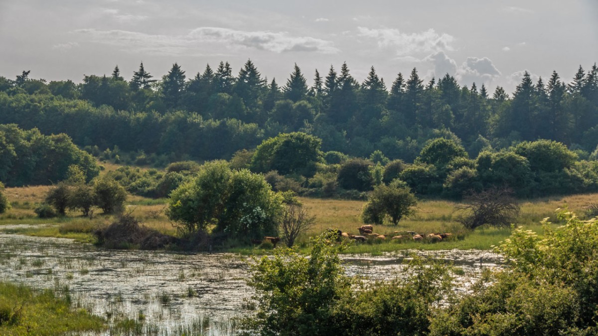
As far as the landscape is concerned, this is truly rewarding stage, starting off from the site of the 2016 State Garden Show in Eutin, the Großer Eutiner See, the Gut Stendorf manor house and the avenue of trees between Stendorf and Bergfeld. The highlight of the tour is, of course, Bungsberg, the highest hill in Schleswig-Holstein (168m), which can be reached by taking a kilometre or so excursion from the E1. The platform on the television tower there is open and free of charge and offers panoramic views across to the Baltic Sea and Holstein Switzerland, a hilly area with a patchwork of lakes and forests. On the way between Bungsberg and Schönwalde you will pass the marshlands of Beckmissen where there is a nice place to take a rest. Unfortunately, there is a lot of road walking on this stage; between Stendorf and Bungsberg there is over 8km in one stretch. Just before Stendorf you can follow the E1 signs and leave out the extra loop to the top of Bungsberg. The hike between Eutin to Neutstadt in Holstein is then cut to 23km.
Hiking maps
No maps added yet
Marking
-
 St. Andrew's cross / E1
Accommodation
| Accommodation | Price group | |||
|---|---|---|---|---|
| 5-15 € | 16-30 € | 31-45 € | >45 € | |
|
Naturpark Camping Prinzenholz
Eutin
Price group: 5-15,15-30 €
|
|
|
||
|
DJH Jugendherberge Bad Malente
Bad Malente-Gremsmühlen
Price group: 15-30 €
|
|
|||
|
Ferienhof Schnoor
Mönchneversdorf
Price group: €
|
||||
|
Show more accommodation in Eutin
and Schönwalde am Bungsberg
(booking.com / Ad)
|
||||
Literature

Sources and copyright
GPX track coordinates: © OpenStreetMap contributors. Published under Open Database License (ODbL)GPX-Downloads
You can use the GPX track for navigation and tour planning on your digital device (GPS, smartphone, online tour planner).
| Etappe Stage 1.10 Eutin - Schönwalde | Download (.gpx) |
| All tracks in Germany | Download (.zip) |
The download and many of the services offered on this page are free of charge. However, I would greatly appreciate a small donation as a token of appreciation for my work! This can be done through Paypal or a supporting membership. Thank you very much!