Hamburg
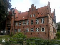
The E1 follows the small river Bille and reaches the Hamburg city area shortly before the Bergedorf district. An approx. 2km longer variant takes you directly into the centre of Bergedorf with its worth seeing castle.
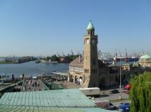
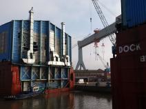
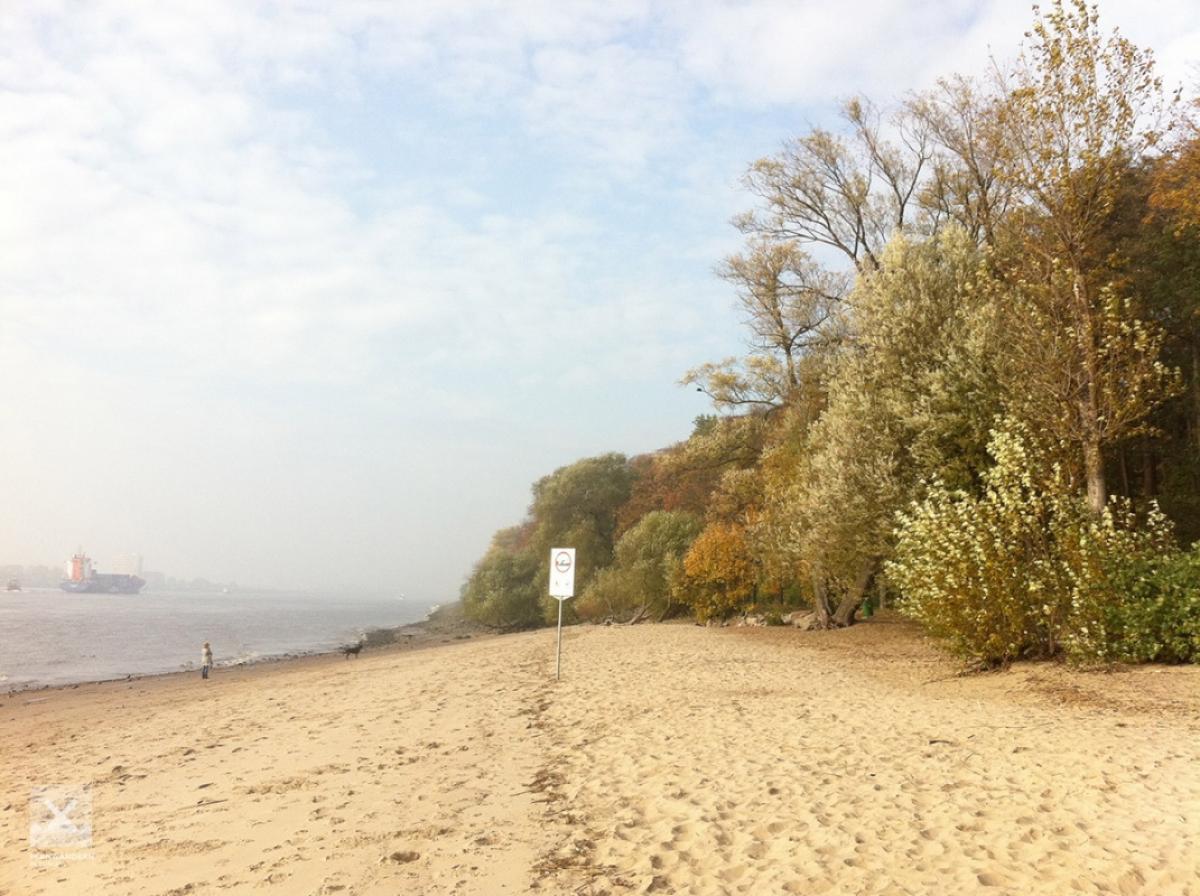
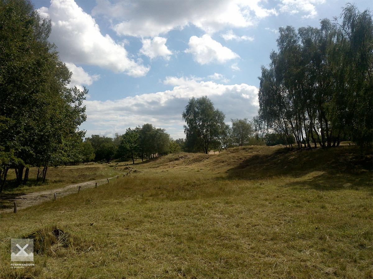
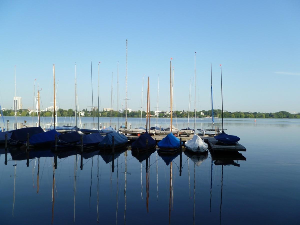
After reaching the Boberger dunes, the path winds through narrow green strips towards the city centre. In the centre you reach the Außen- and Binnenalster as well as the park Planten un Blomen and finally walk from the Hamburg Landungsbrücken along the Elbe to Blankenese. There the river is crossed by ferry heading south.
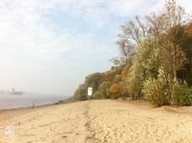
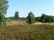
From Cranz, the E1 runs for a short distance through the "Alte Land", which is famous for apple cultivation, as well as the moor belt, before entering the hilly Fischbeker Heide. Close to Hamburg's highest elevation, the Hasselbrack (116.2m), the route continues to Niedersachen and towards Nordheide.
The trail is marked with the Andreas cross throughout.
The following users contributed to this text:
Translator(s) of this text:

Stage overview
| Stage | Distance | Walking time | Total climb | Total descent |
|---|---|---|---|---|
| 2.01 Witzhave - Billstedt | 27.8km | - | 399m | 418m |
| 2.02 Billstedt - Blankenese | 24.7km | - | 368m | 380m |
| 2.3 Blankenese - Buchholz i.d.N. | 36.3km | - | 390m | 325m |
Climate
Meteorological station Hamburg Airport, Germany (Altitude: 15m)
-
Monthly means of the daily highs and lows in degrees Celsius
Jan Feb Mar Apr May Jun Jul Aug Sep Oct Nov Dec ∅ Max. 2.7 3.8 7.2 11.9 17.0 20.2 21.4 21.6 18.0 13.3 7.6 4.0 ∅ Min. -2.2 -1.8 0.4 3.0 7.2 10.4 12.2 11.9 9.4 6.3 2.5 -0.7 -
Mean total precipitation in mm
Jan Feb Mar Apr May Jun Jul Aug Sep Oct Nov Dec ∅ mm 61.2 41.3 56.4 51.0 57.3 74.4 81.9 70.0 70.2 63.1 71.1 72.3
