1.07 Kiel - Preetz
17km
Distance
-
Walking time
293m
Total climb
270m
Total descent
Photos

Stage description
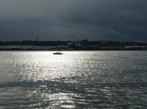
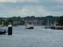
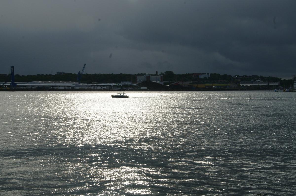
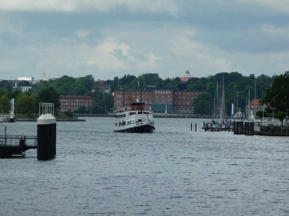
The stage begins at the Wellingdorf ferry terminal. Unfortunately it is only possible to cross from the Reventlou jetty to the other side of the Kieler Förde (Kiel Fjord) on weekdays.
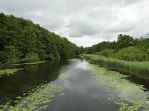
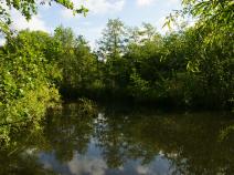
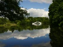
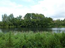
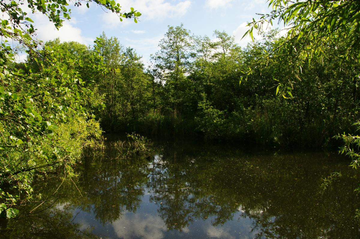
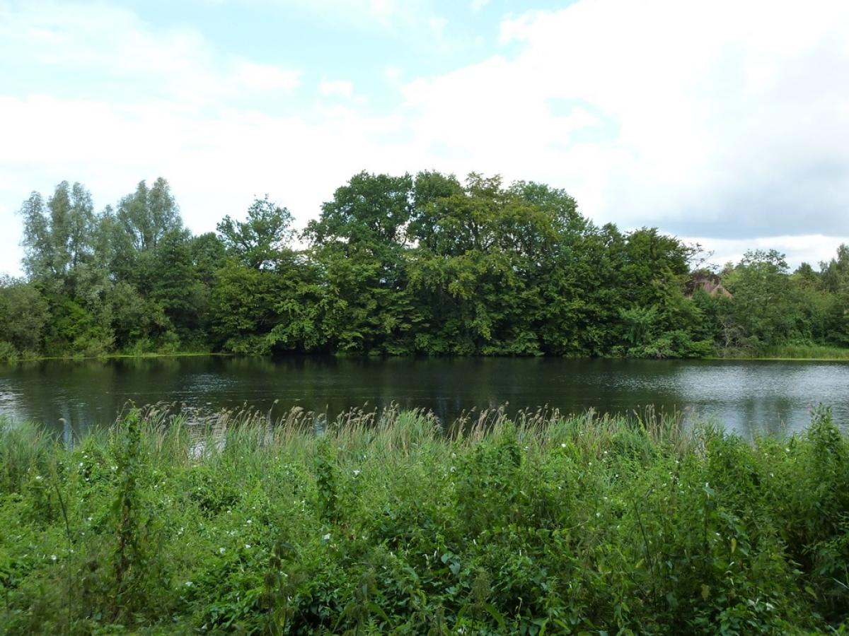
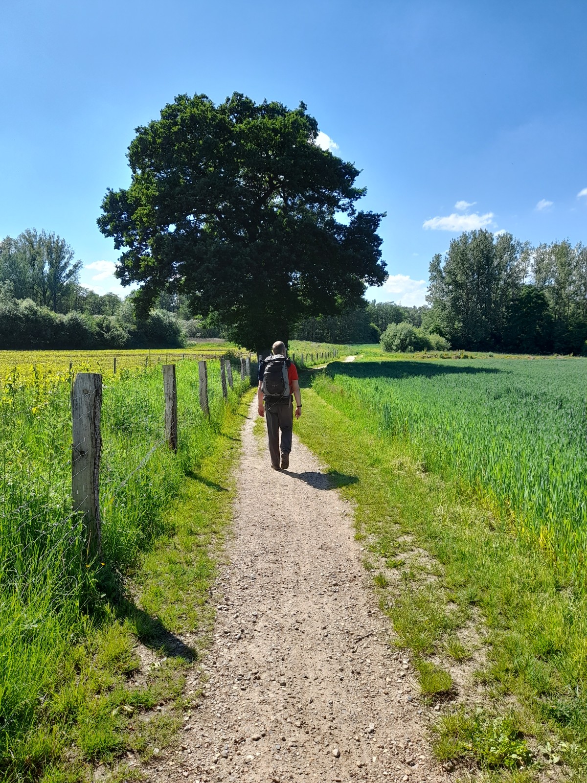
After passing through the Wellingdorf centre, the path follows unpaved paths along the Schwentine river. The path then leaves the river heading up a hill on dirt roads towards Flüggendorf and then on forest trails back to the river, which has cut deeply into the landscape at this point. Some steep ascents and descents have to be overcome here before you reach the Schwentinental Game Park near Raisdorf with its llamas, wild boars and aviaries.
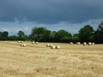
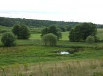
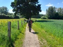
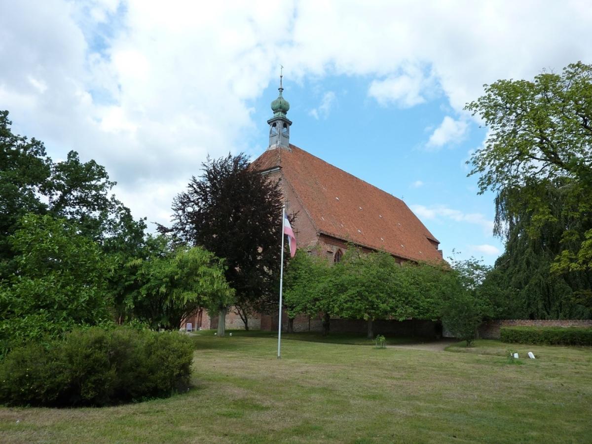
The trail continues along the course of the Schwentine, following pleasant hiking trails southwards through the gently rolling countryside. The Preetz Monastery marks the destination of this short stage. The path continues into the pedestrian zone to the cobbler's monument on the market square.
The following users contributed to this text:
Hiking maps
No maps added yet
Marking
-
 St. Andrew's cross / E1
Accommodation
| Accommodation | Price group | |||
|---|---|---|---|---|
| 5-15 € | 16-30 € | 31-45 € | >45 € | |
|
DJH Jugendherberge Kiel
Kiel
Price group: 15-30 €
|
|
|||
|
Naturcamping Kirchsee
Preetz
Price group: 5-15 €
|
|
|||
|
Bed & Breakfast Preetz
Preetz
Price group: >45 €
|
|
|||
|
Hotel Landhaus Schellhorn
Schellhorn / Preetz
Price group: >45 €
|
|
|||
|
Show more accommodation in Kiel
and Schellhorn
(booking.com / Ad)
|
||||
Literature

Sources and copyright
GPX track coordinates: © OpenStreetMap contributors. Published under Open Database License (ODbL)GPX-Downloads
You can use the GPX track for navigation and tour planning on your digital device (GPS, smartphone, online tour planner).
| Etappe Stage 1.07 Kiel - Preetz | Download (.gpx) |
| All tracks in Germany | Download (.zip) |
The download and many of the services offered on this page are free of charge. However, I would greatly appreciate a small donation as a token of appreciation for my work! This can be done through Paypal or a supporting membership. Thank you very much!