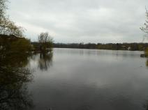
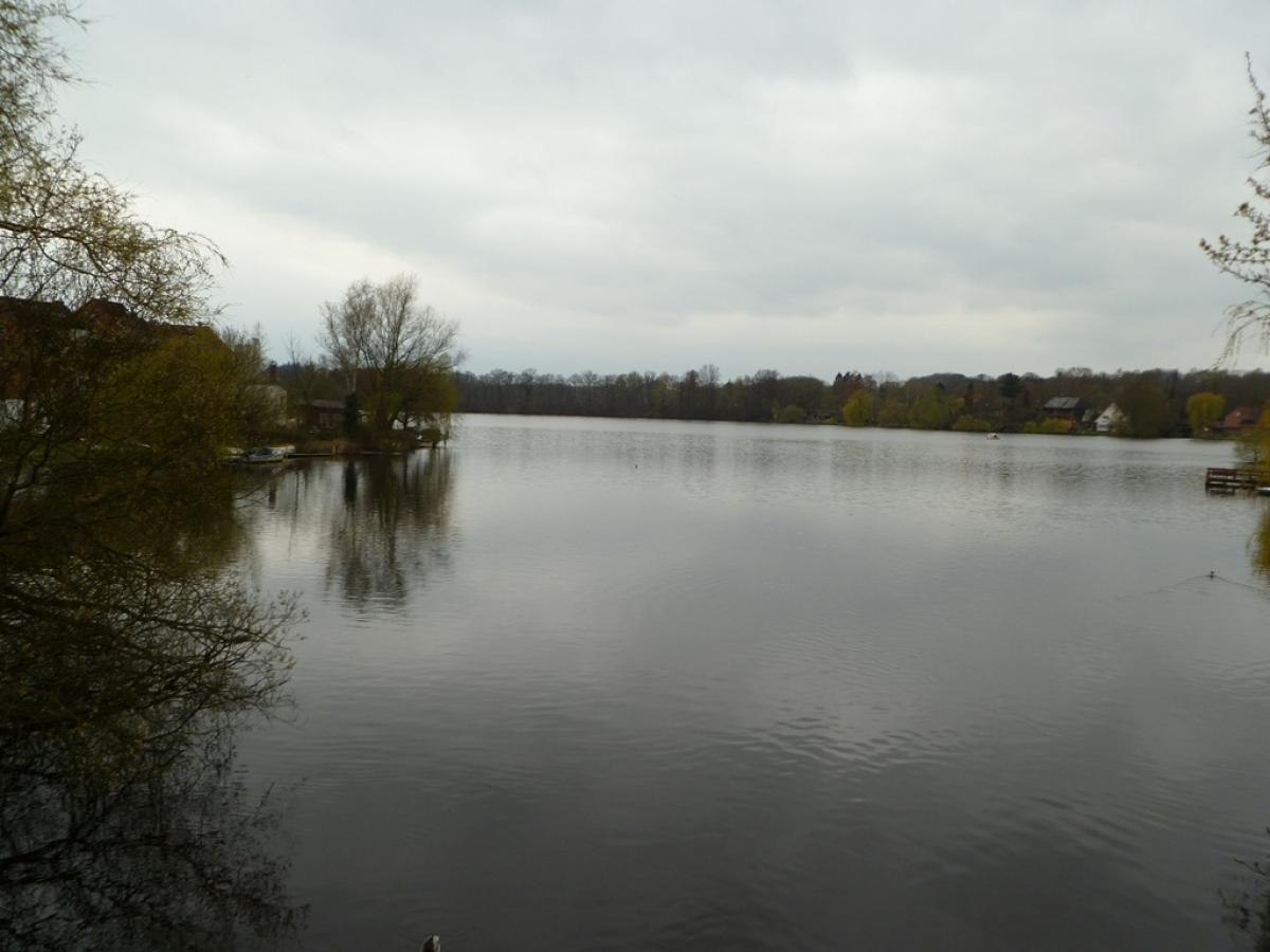
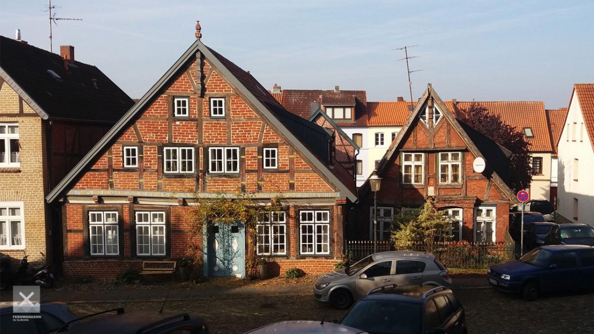
1.15 Ratzeburg - Mölln
13.9km
Distance
-
Walking time
200m
Total climb
182m
Total descent
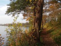
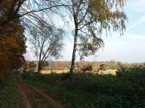
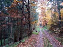
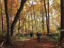
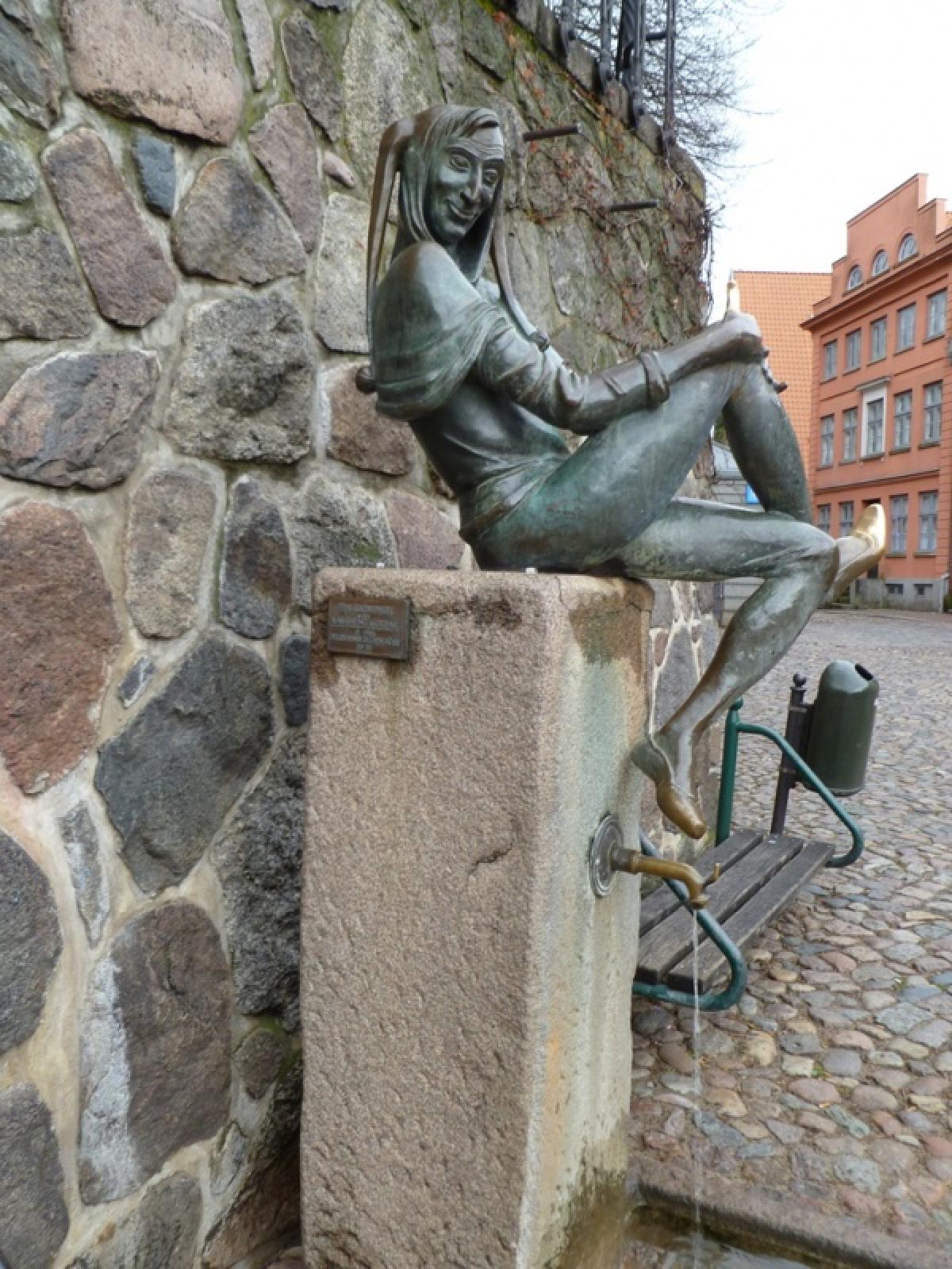
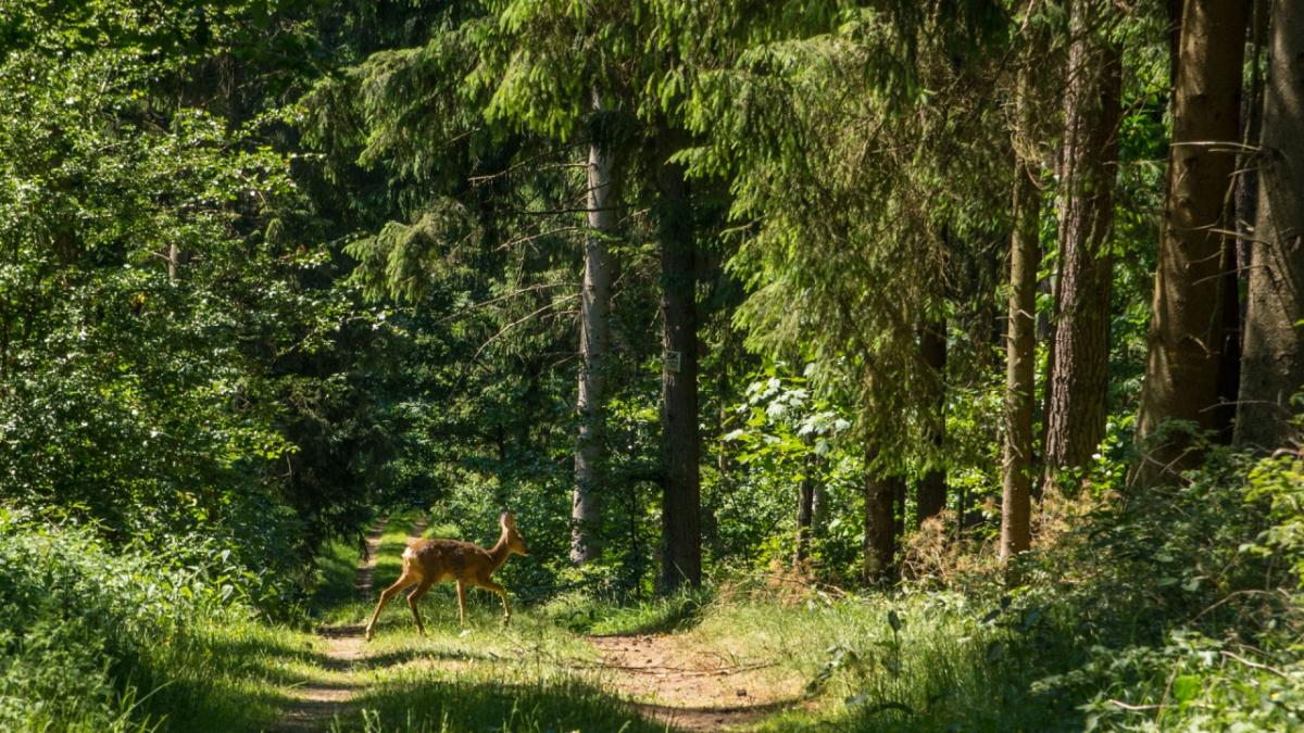
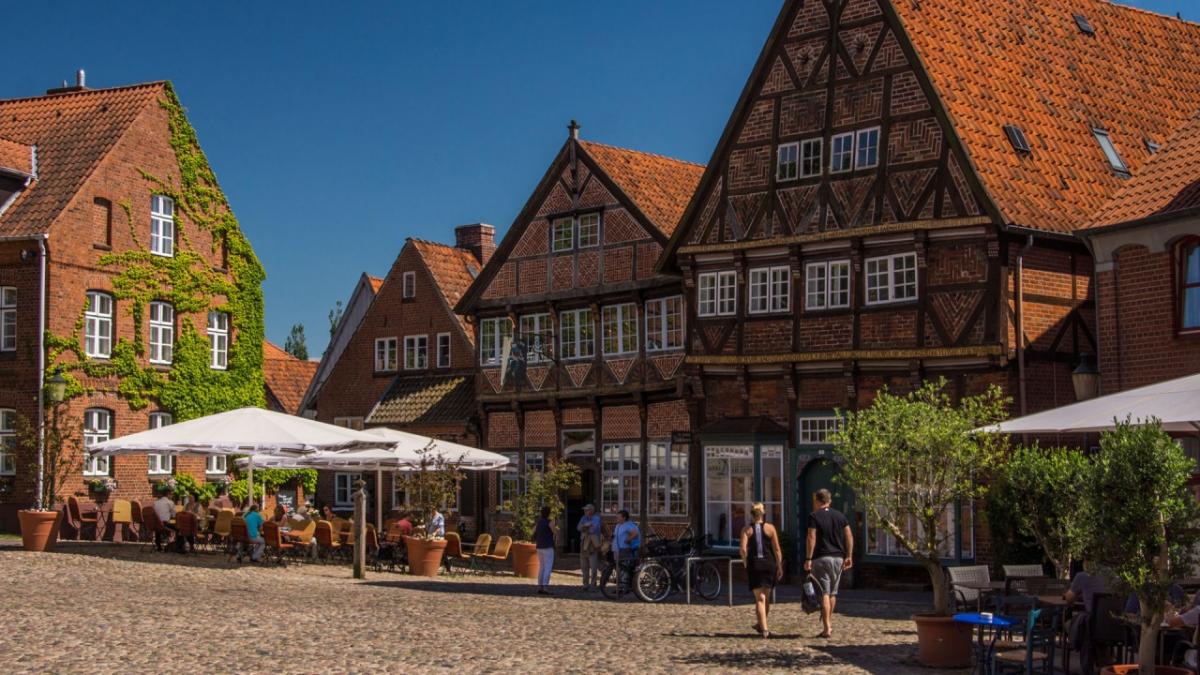
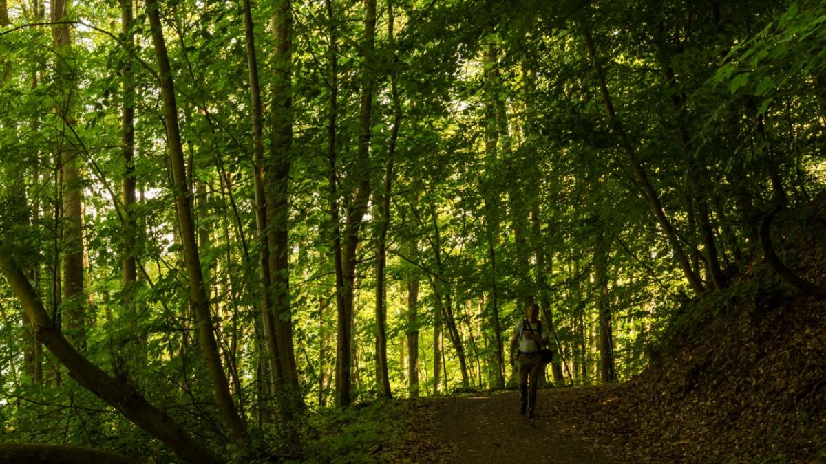
Photos

Stage description
Hiking maps
No maps added yet
Marking
-
 St. Andrew's cross / E1
Accommodation
| Accommodation | Price group | |||
|---|---|---|---|---|
| 5-15 € | 16-30 € | 31-45 € | >45 € | |
|
DJH Jugendherberge Ratzeburg
Ratzeburg
Price group: 15-30 €
|
|
|||
|
Campingplatz zur schönen Aussicht
Römnitz
Price group: 5-15 €
|
|
|||
|
Camping Schwalkenberg
Ratzeburg
Price group: 5-15 €
|
|
|||
|
Hotel Farchauer Mühle
Ratzeburg / Farchau
Price group: >45 €
|
|
|||
|
DJH Jugendherberge Mölln
Mölln
Price group: 15-30 €
|
|
|||
Sights
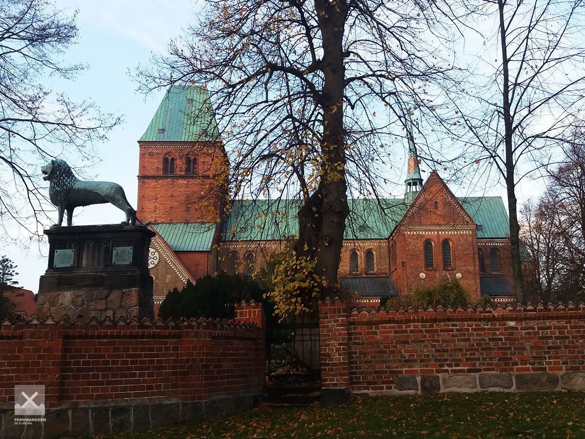
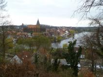
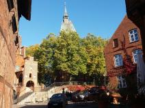
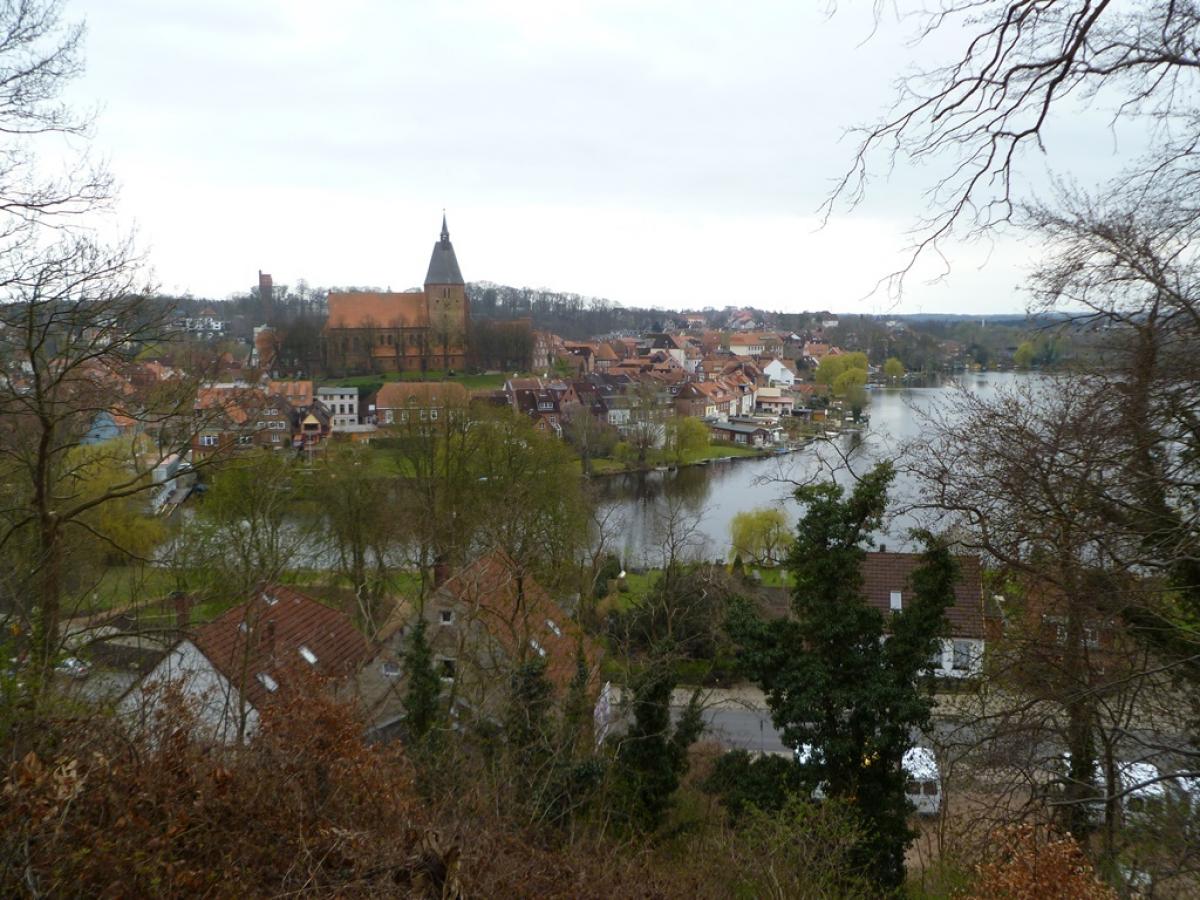
Ratzeburger Dom
In the north of the old town island of Ratzeburg is the Ratzeburger Dom (Ratzeburg Cathedral). This important testimony of Romanesque brick architecture was completed in 1220 after 60 years of construction. In front of the cathedral, donated by Henry the Lion, stands a replica of the Braunschweig Lion. Ratzeburg Cathedral does not stand directly on the path of the E1, a detour through Ratzeburg's old town with a few more sights is very worthwhile.
Literature

Sources and copyright
GPX track coordinates: © OpenStreetMap contributors. Published under Open Database License (ODbL)GPX-Downloads
You can use the GPX track for navigation and tour planning on your digital device (GPS, smartphone, online tour planner).
| Etappe Stage 1.15 Ratzeburg - Mölln | Download (.gpx) |
| All tracks in Germany | Download (.zip) |
The download and many of the services offered on this page are free of charge. However, I would greatly appreciate a small donation as a token of appreciation for my work! This can be done through Paypal or a supporting membership. Thank you very much!