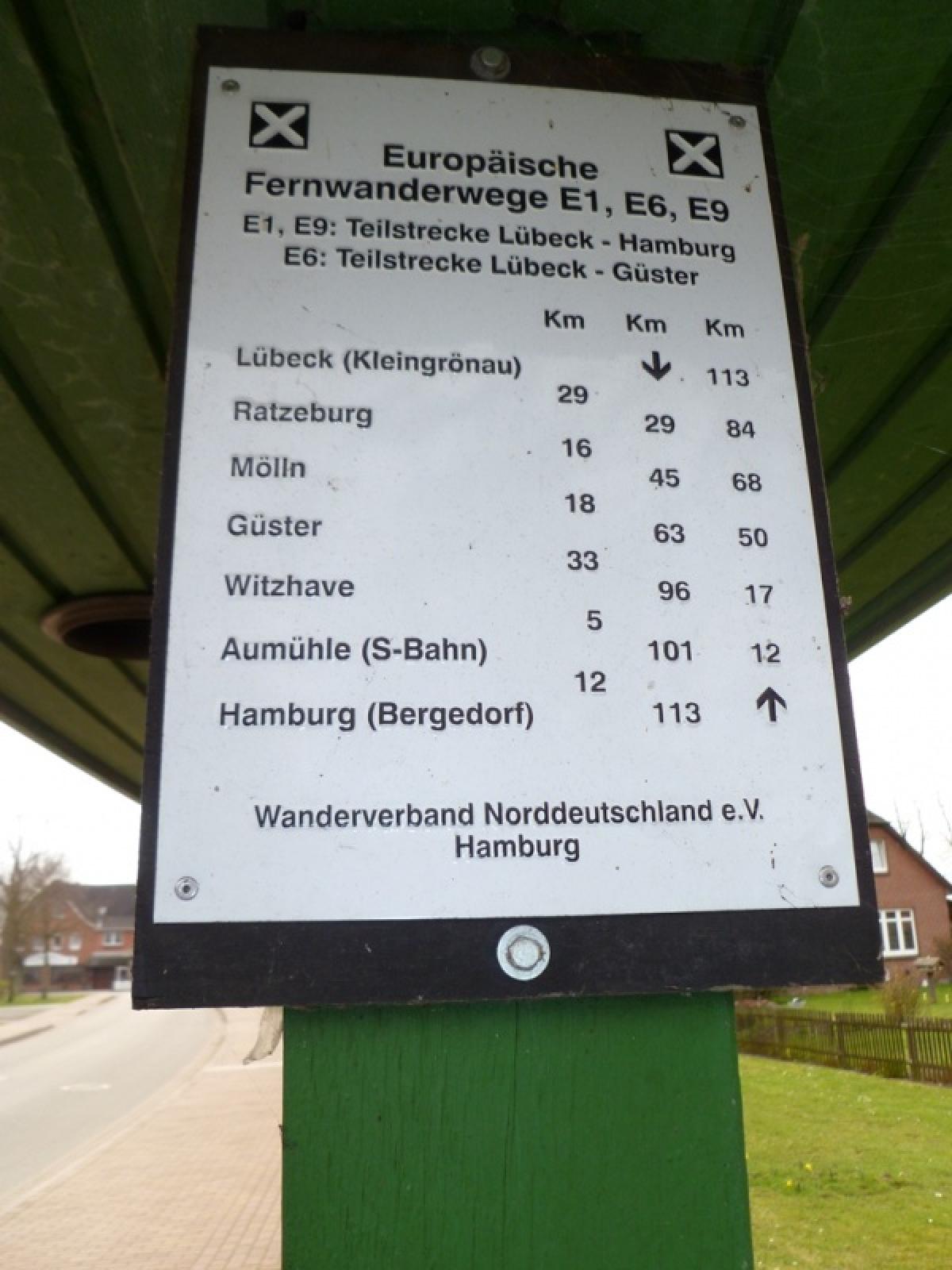
1.16 Mölln - Güster
18.9km
Distance
-
Walking time
233m
Total climb
233m
Total descent
Photos


Stage description
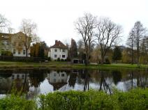
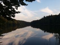
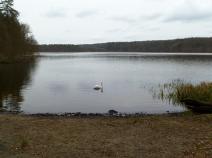
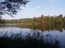
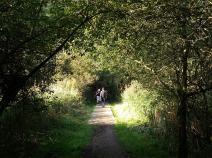
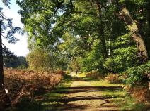
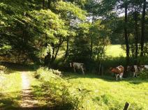
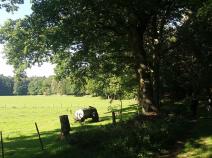
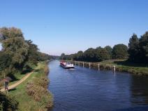
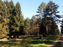
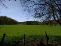
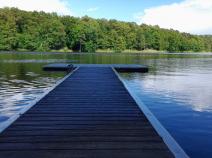
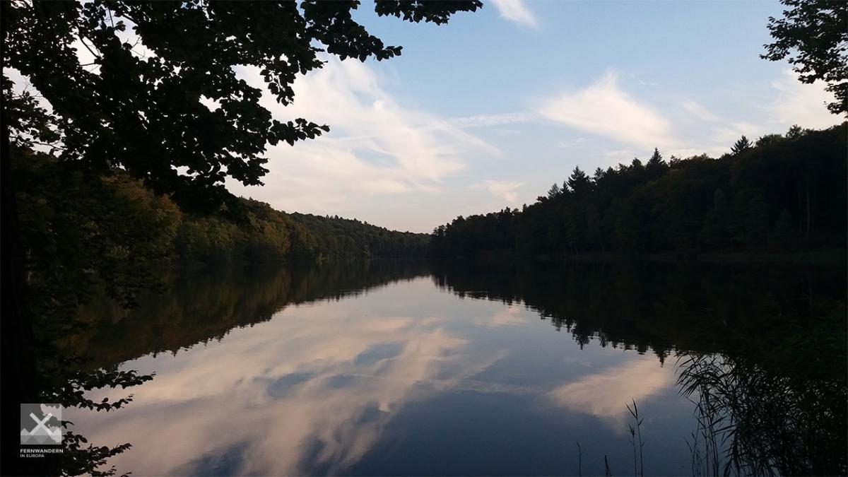
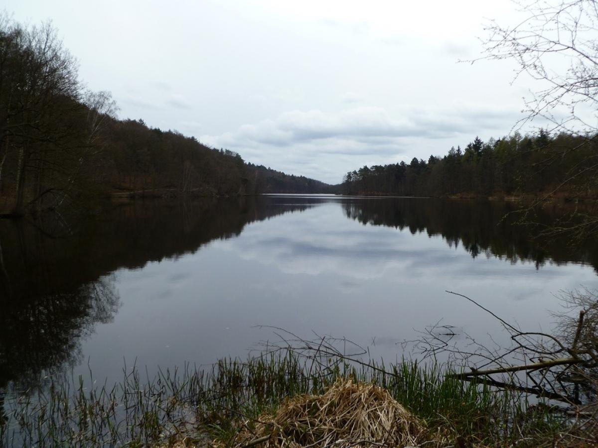
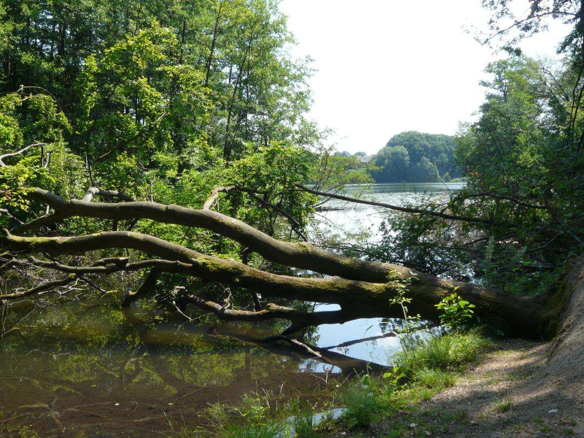
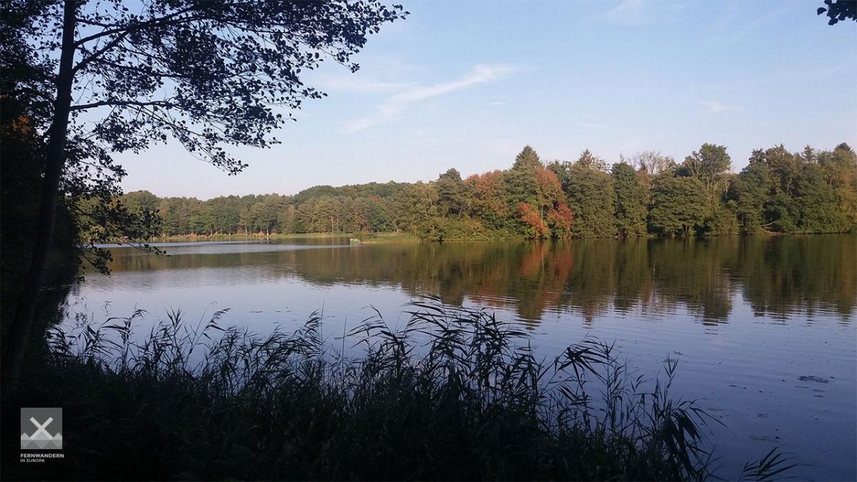
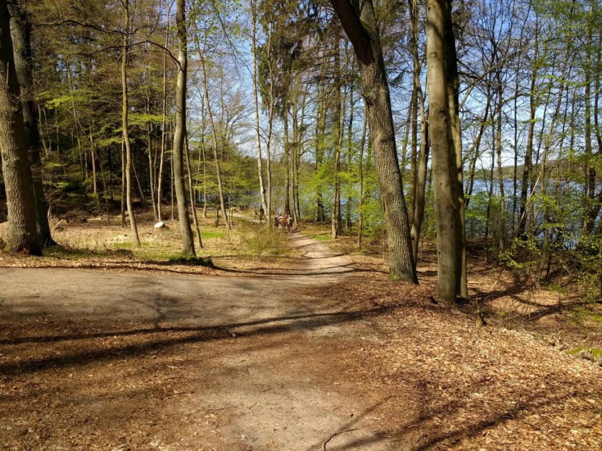
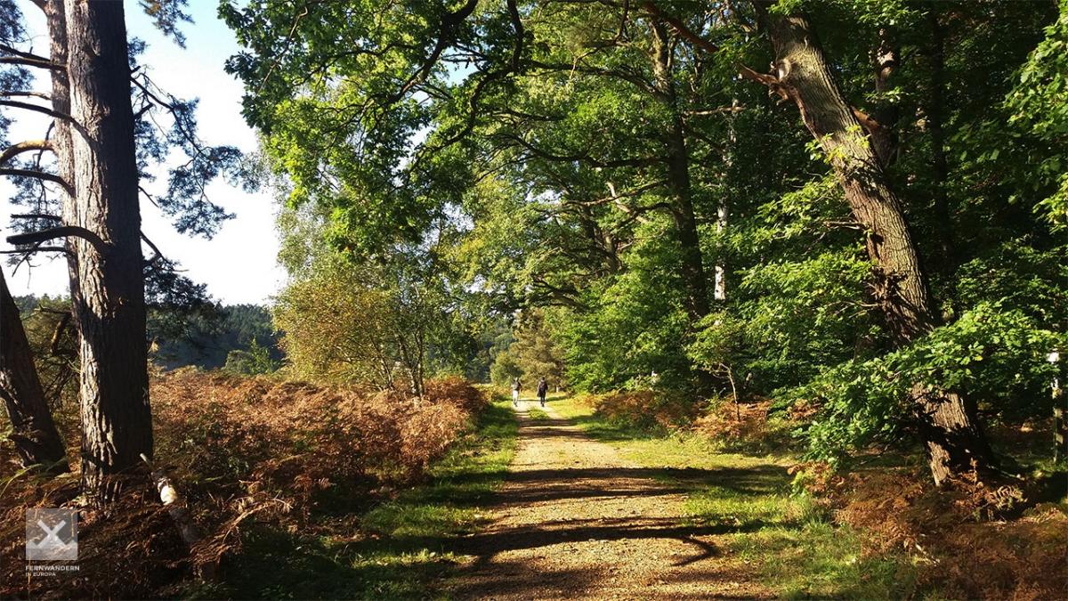
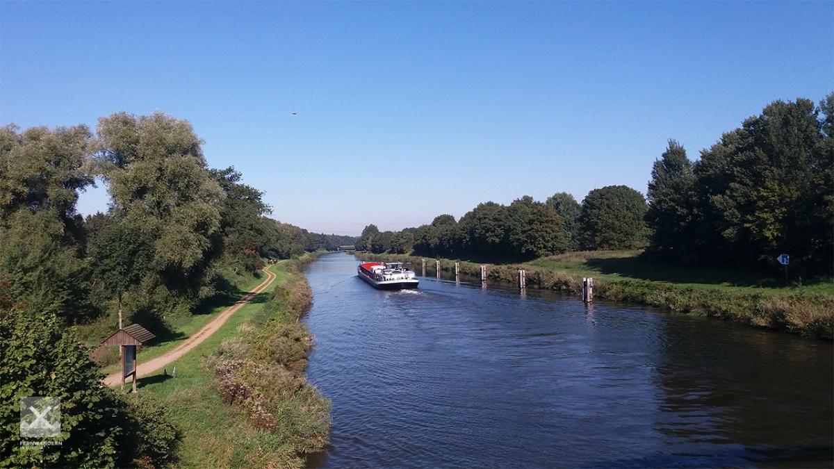
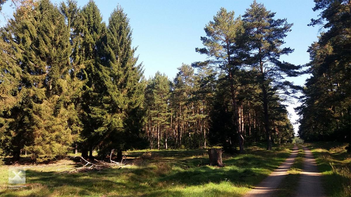
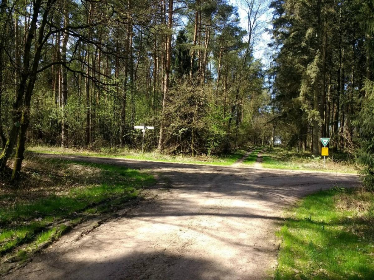
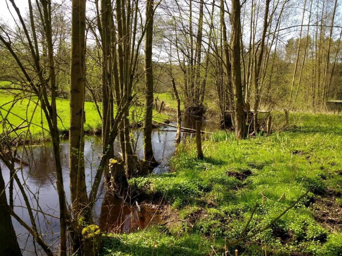
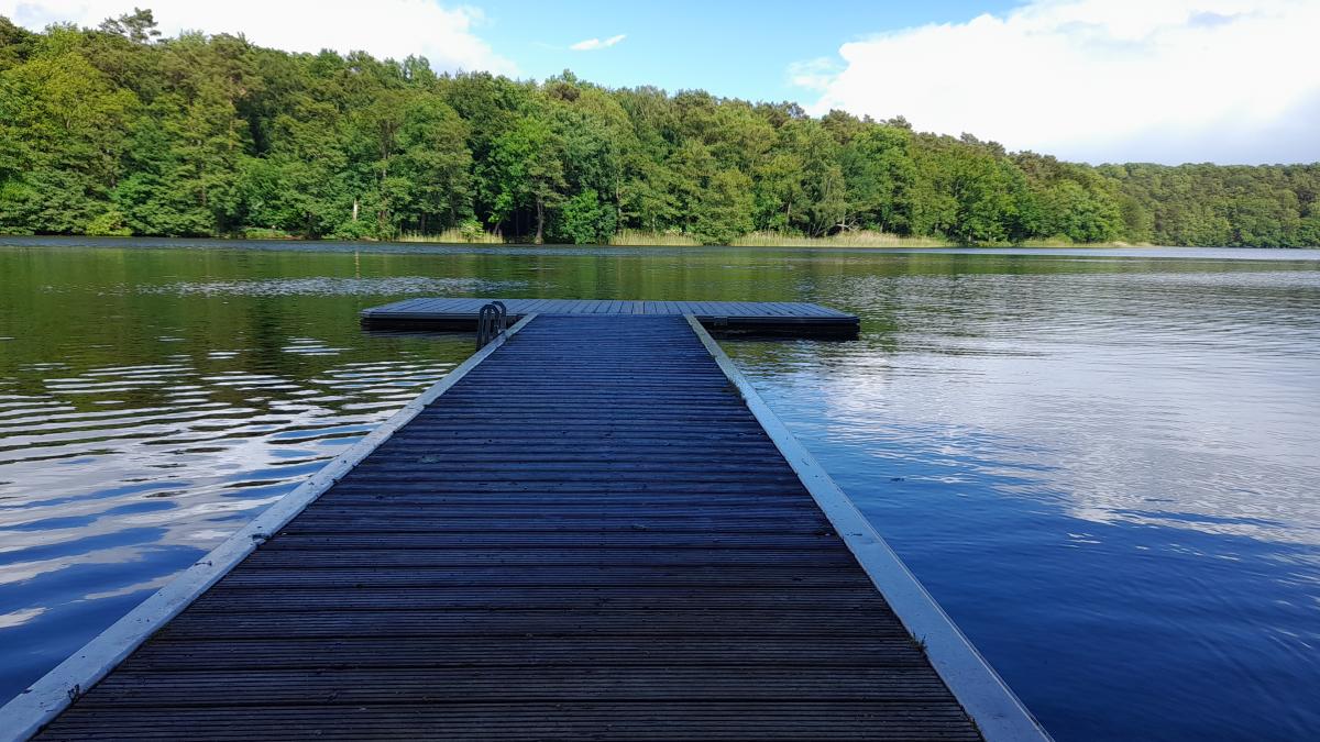
This is a very pretty and highly varied stage. From Mölln, the E1 heads south along the banks of three lakes: Schmalsee, Lüttauer See and Drüsensee, before reaching the picturesque Hellbachtal. The Hellbach valley, located in the nature protection area of the same name, is one of the highlights of the stage. The last few kilometres of the stage passes largely through commercial woodland. Just before Güster, the E6 trail follows its own course leaving the E1 and E9 and heading south towards Lauenburg and the River Elbe. Just before the end of the stage the path crosses the Elbe-Lübeck canal.
Hiking maps
No maps added yet
Marking
-
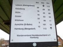
 St. Andrew's cross / E1
Accommodation
| Accommodation | Price group | |||
|---|---|---|---|---|
| 5-15 € | 16-30 € | 31-45 € | >45 € | |
|
DJH Jugendherberge Mölln
Mölln
Price group: 15-30 €
|
|
|||
|
Ferien- und Gästehaus Gudow
Gudow
Price group: 15-30 €
|
|
|||
|
Campingplatz Gudower See
Gudow
Price group: 5-15 €
|
|
|||
|
Freizeitwelt Güster
Güster
Price group: 5-15 €
|
|
|||
|
Badeinsel am Prüß-See
Güster
Price group: €
|
||||
|
Ferienwohnung Edith
Güster
Price group: €
|
||||
|
Ihr Zuhause auf Zeit
Güster
Price group: €
|
||||
Literature

Sources and copyright
GPX track coordinates: © OpenStreetMap contributors. Published under Open Database License (ODbL)GPX-Downloads
You can use the GPX track for navigation and tour planning on your digital device (GPS, smartphone, online tour planner).
| Etappe Stage 1.16 Mölln - Güster | Download (.gpx) |
| All tracks in Germany | Download (.zip) |
The download and many of the services offered on this page are free of charge. However, I would greatly appreciate a small donation as a token of appreciation for my work! This can be done through Paypal or a supporting membership. Thank you very much!