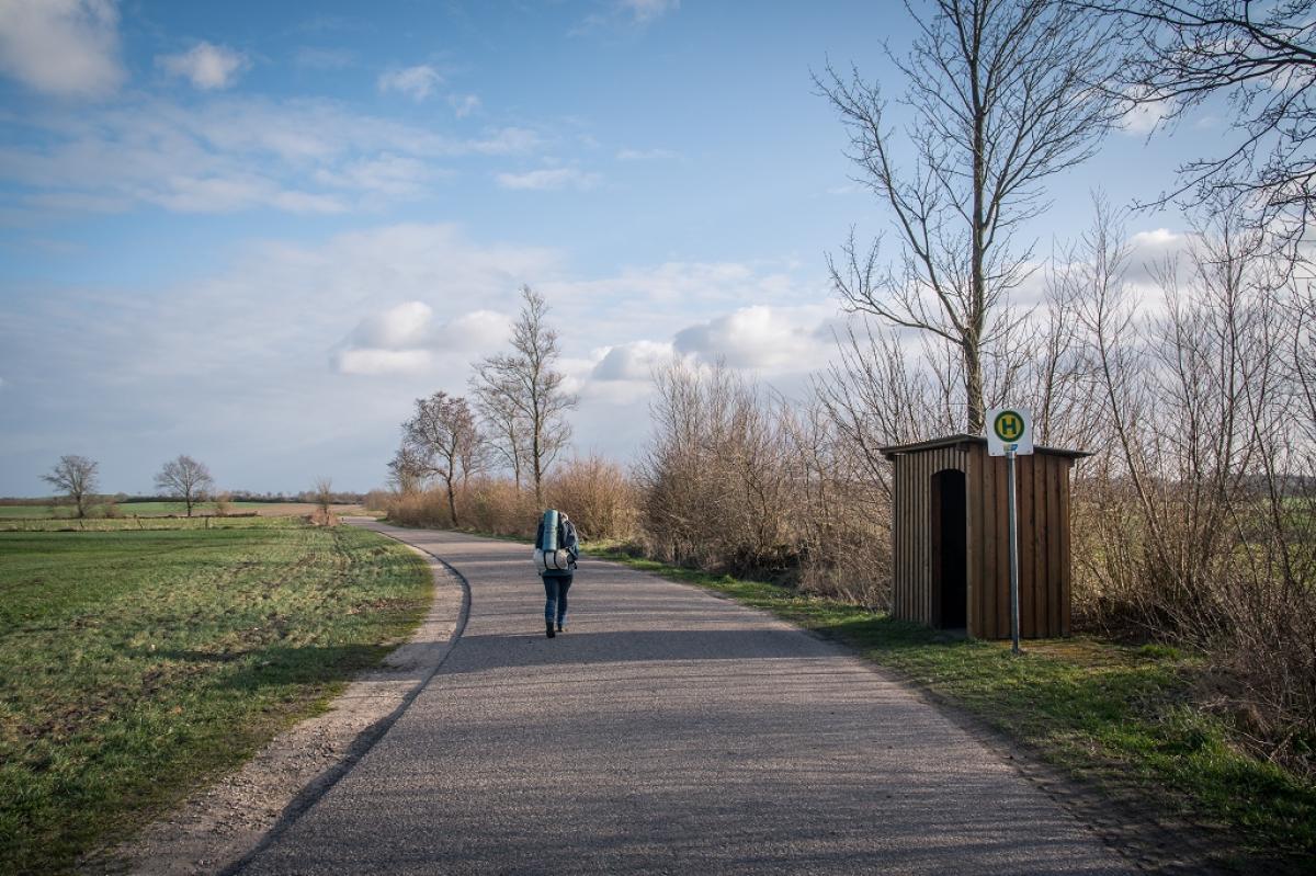
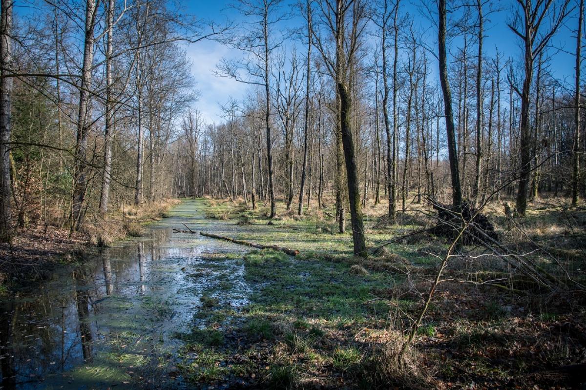
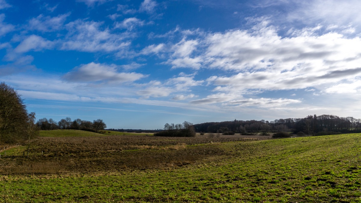
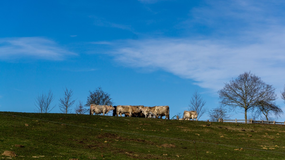
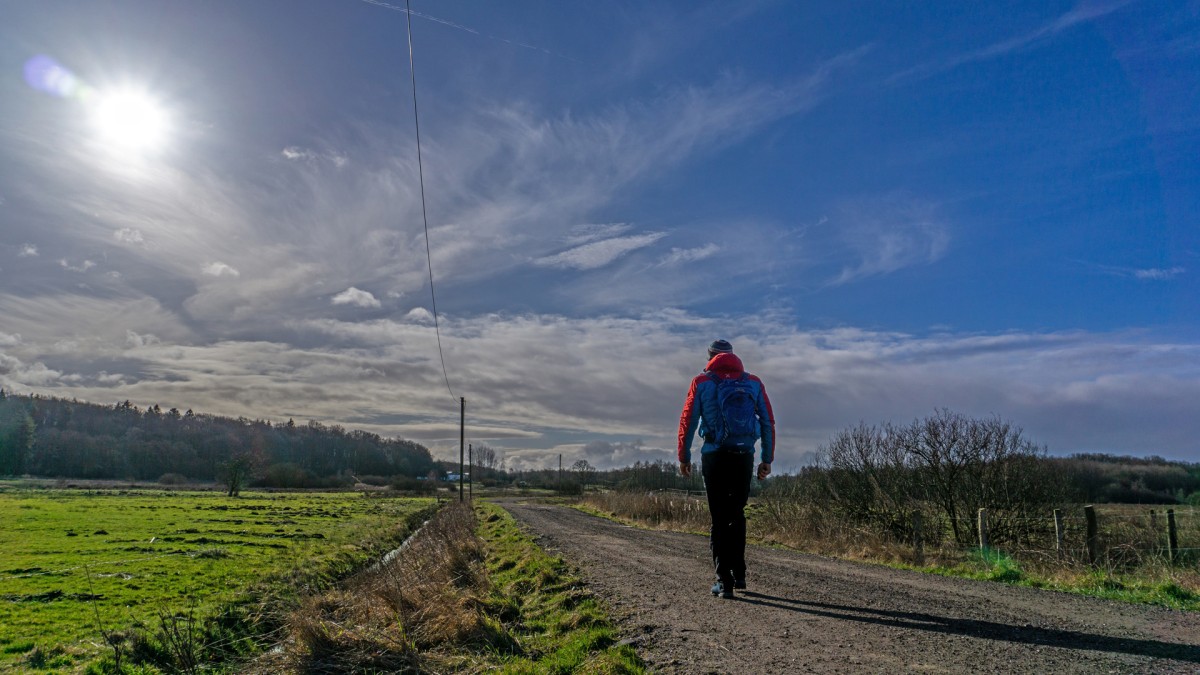
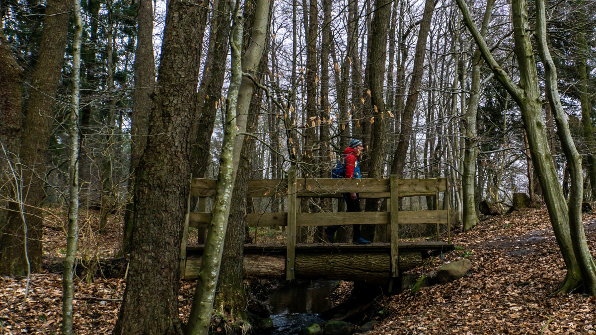
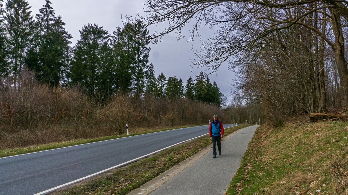
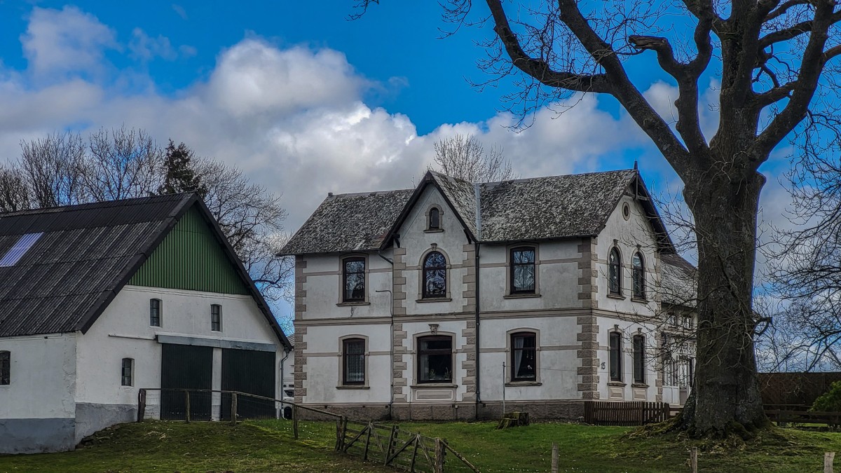
Stage
1.02 Oeversee - Schleswig
30km
Distance
-
Walking time
340m
Total climb
366m
Total descent
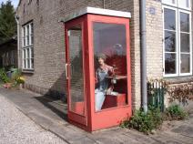
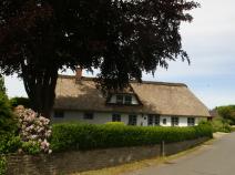
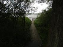
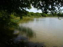
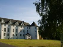
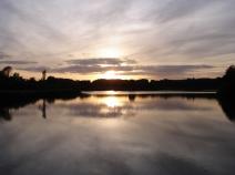
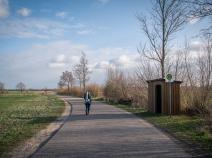
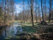
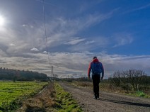
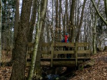
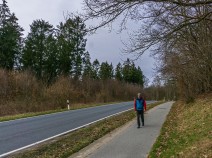
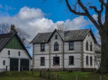
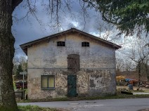
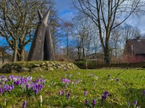
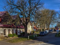
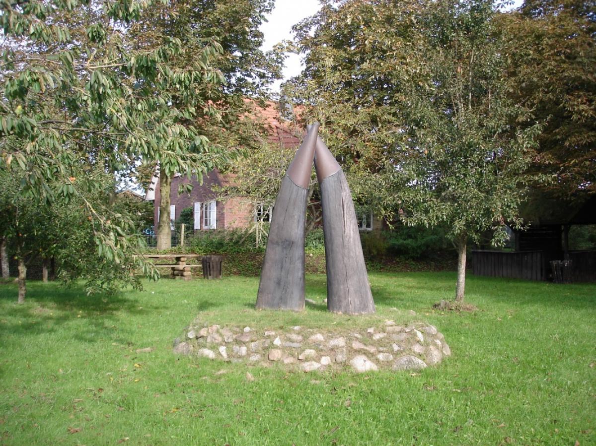
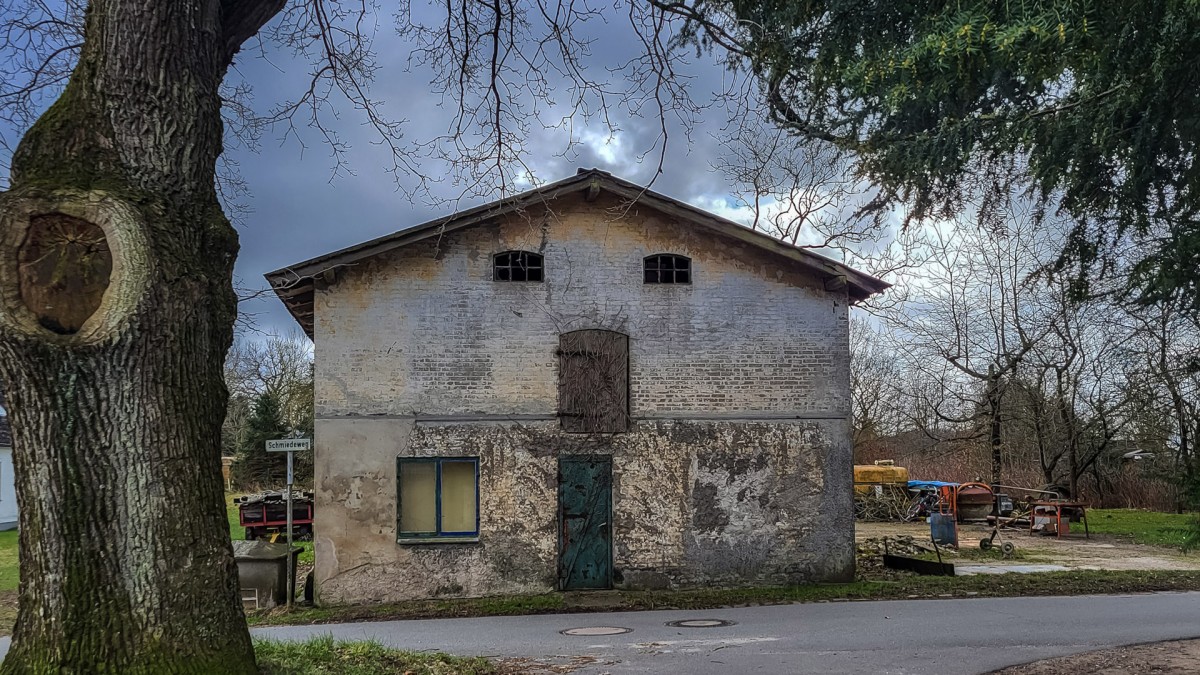
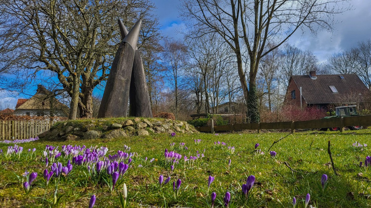
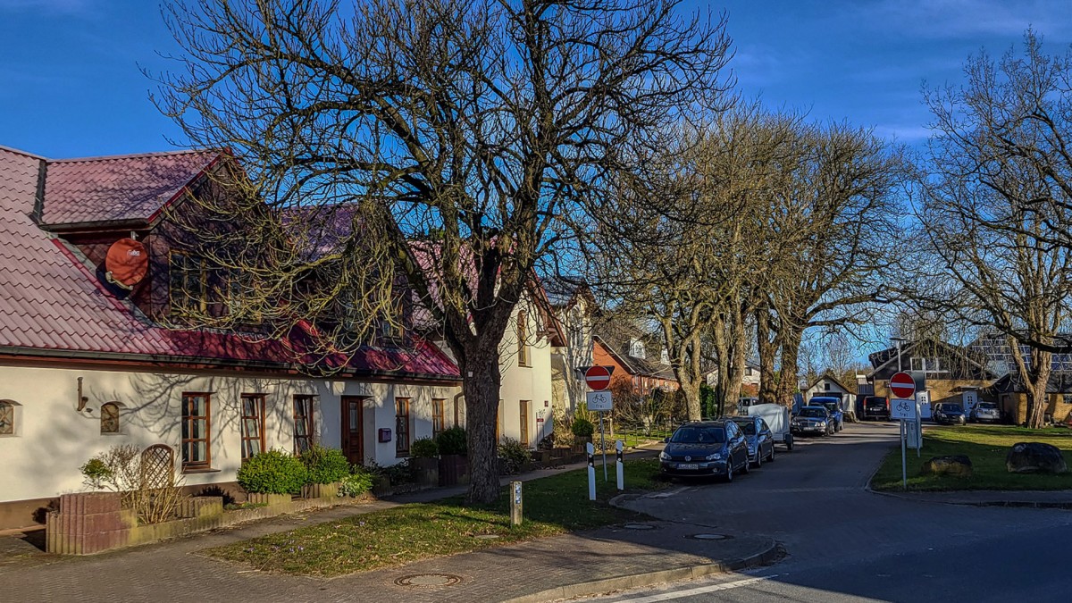
Photos


Stage description
Last text update:
13.04.2023
The following users contributed to this text:
Hiking maps
No maps added yet
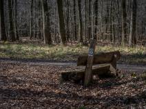
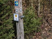
Marking
-
 St. Andrew's cross / E1
Accommodation
| Accommodation | Price group | |||
|---|---|---|---|---|
| 5-15 € | 16-30 € | 31-45 € | >45 € | |
|
Salz & Pfeffer im Gasthaus Frörup
Oeversee
Price group: 30-45 €
|
|
|||
|
Campingplatz Süderholz
Sieverstedt
Price group: 5-15 €
|
|
|||
|
DJH Jugendherberge Schleswig
Schleswig
Price group: 15-30 €
|
|
|||
Literature

Sources and copyright
GPX track coordinates: © OpenStreetMap contributors. Published under Open Database License (ODbL)GPX-Downloads
You can use the GPX track for navigation and tour planning on your digital device (GPS, smartphone, online tour planner).
| Etappe Stage 1.02 Oeversee - Schleswig | Download (.gpx) |
| All tracks in Germany | Download (.zip) |
The download and many of the services offered on this page are free of charge. However, I would greatly appreciate a small donation as a token of appreciation for my work! This can be done through Paypal or a supporting membership. Thank you very much!