1.04 Brekendorf - Eckernförde
31.1km
Distance
-
Walking time
502m
Total climb
523m
Total descent
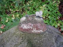
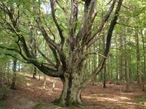
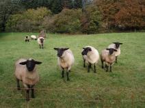
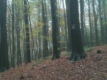
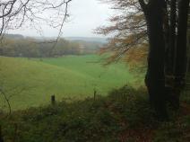
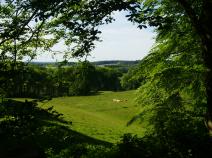
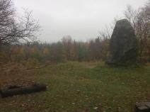
Photos

Stage description
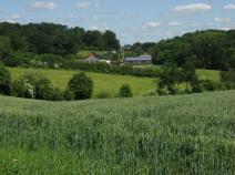
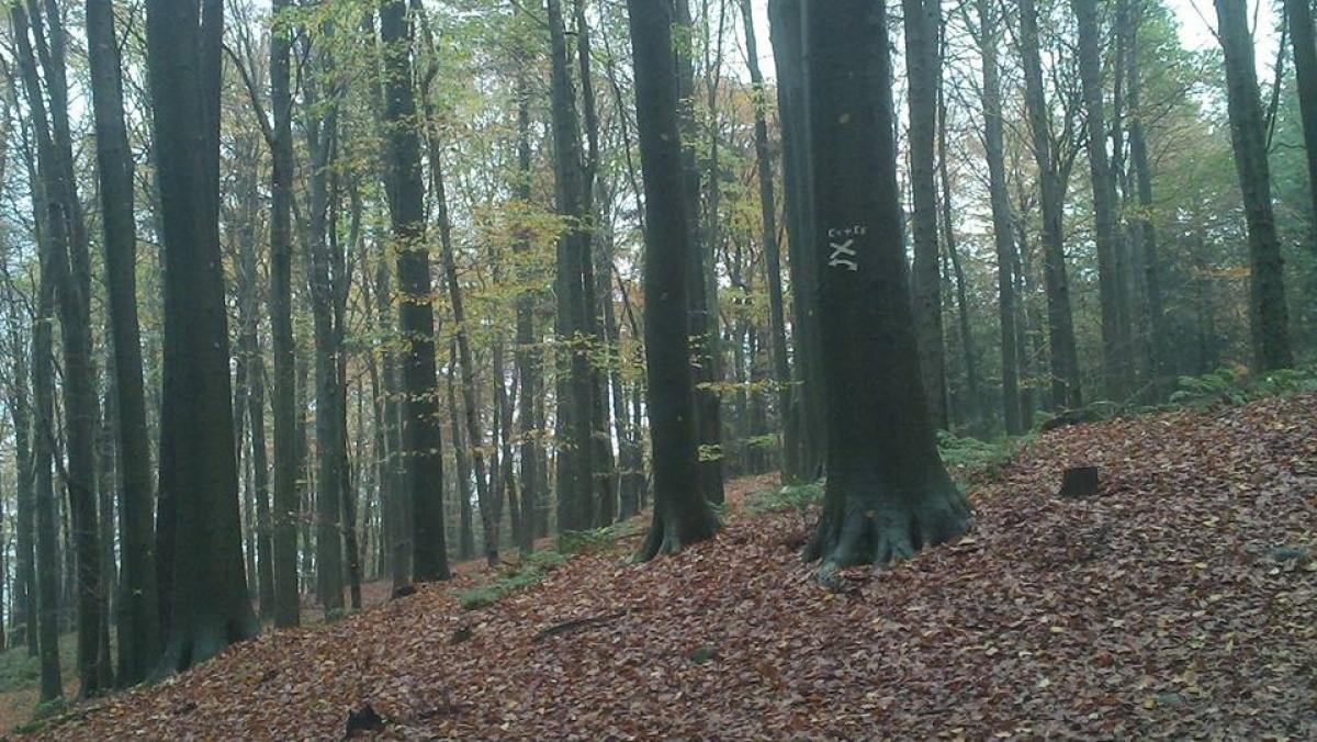
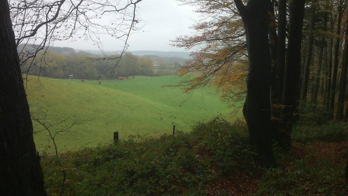
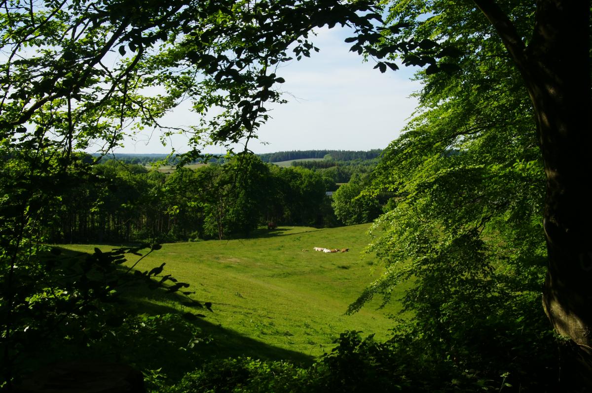
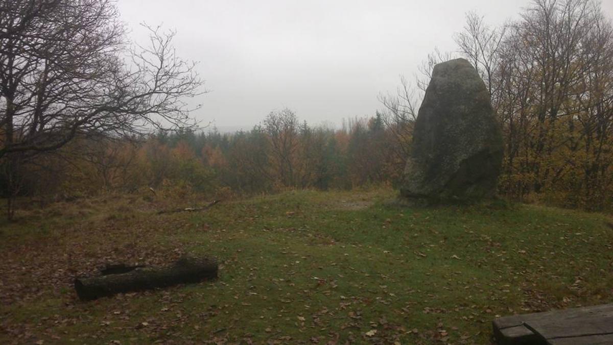
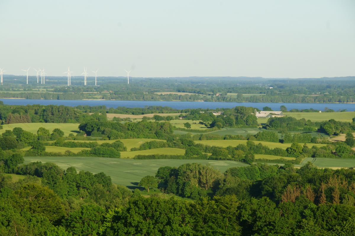
From Brekendorf, at the forest car park, head north past the Immenberg, along the western edge of the Hüttener Berge, on a beautiful forest path to a track that takes you to the Brekendorf forester's lodge and then soon to the Rammsee lake. Continue past Heidberg to a road to Unterschoothorst. After a stretch of asphalt, the trail zigzags up to the Aschberg, which, at 98 m, is the first notable "summit" of the German stages.
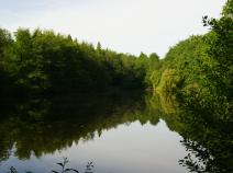
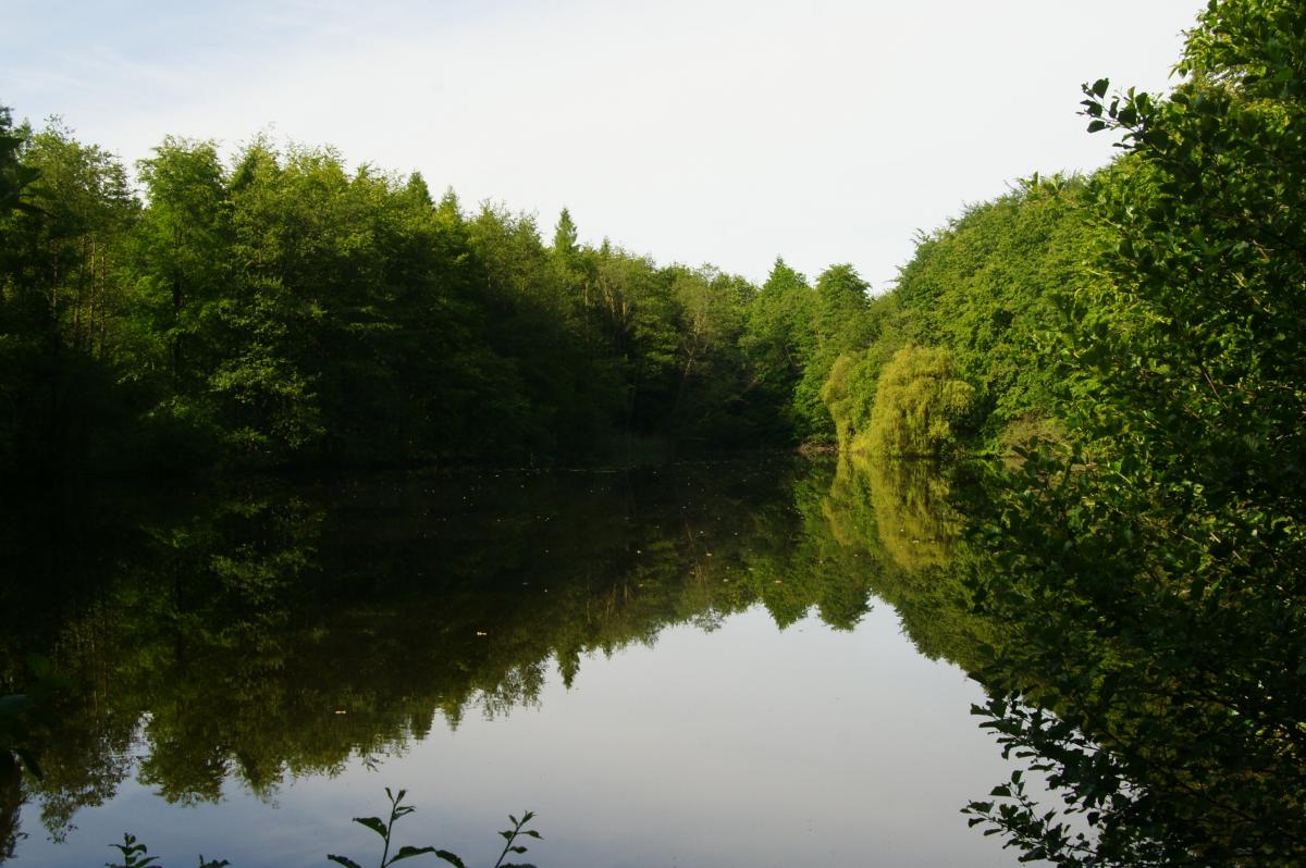
Descend first over the road, then right over a field path and at a property with holiday apartment rentals - easy to miss - half-left into a path between two kincks down to the road Eckernförder-Owschlag, which you cross. Then soon turn right over a field path and after about 1 km turn left into the forest to Fresensee. Halfway around the lake and south out of the forest to a road, which is followed eastwards for a short distance until a track branches off to the right towards Kirchhorst. In Kirchhorst keep left towards Damendorf and about 1 km later turn right into the forest, out of it after ewta 20 minutes northwest into the Damendorfer Moor. It doesn't look so wet now, but in earlier times it was used to preserve bog bodies, which can be seen in the Schleswig State Museum. Continue to the main road, turn right and soon left towards Jürgensrade. After about 10 minutes, head north towards the forest and continue north through it, later on a dirt road to Osterby. This day brings no progress towards the south.
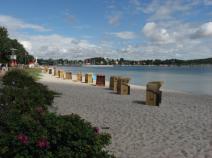
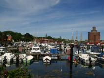
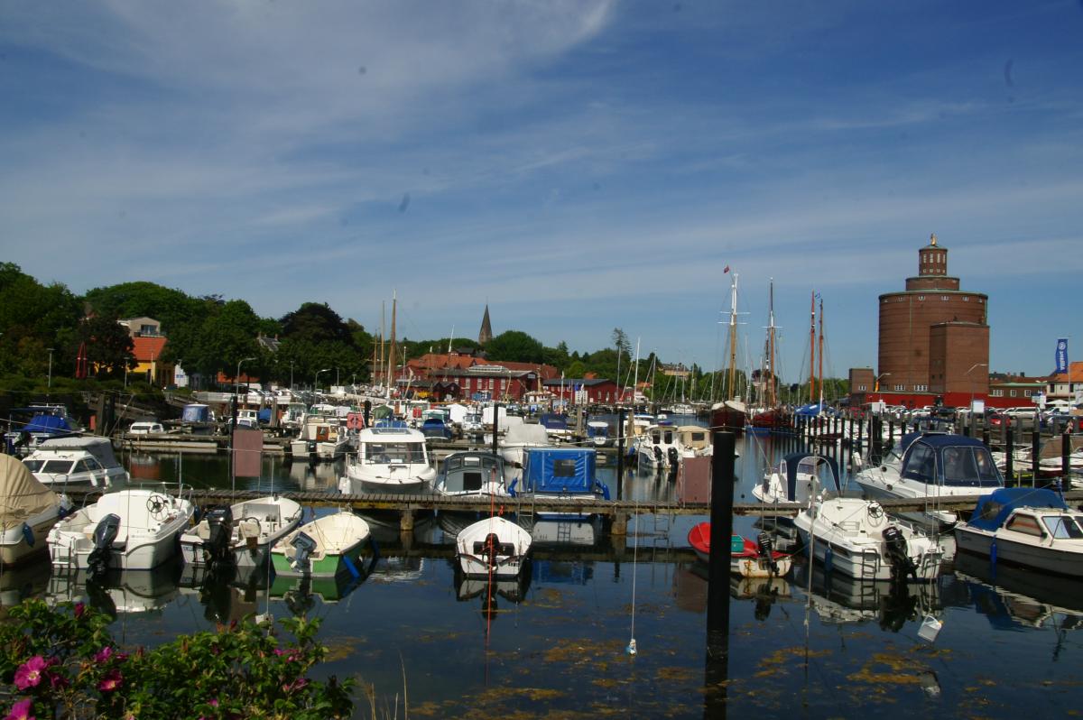
From Osterby continue north, later crossing a valley on a path and continuing on a field path to Kochendorf. From Kochendorf, follow a path lined with giant lime trees, the old narrow-gauge railway line, to Eckernförde.
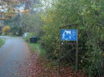
Long stage, especially as there are several ascents. St. Andrew's cross markings currently patchy, but other markings or signposts then available.
The following users contributed to this text:
Hiking maps
No maps added yet
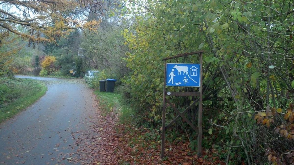
Marking
-
 St. Andrew's cross / E1
Accommodation
| Accommodation | Price group | |||
|---|---|---|---|---|
| 5-15 € | 16-30 € | 31-45 € | >45 € | |
|
Hotel Katerberg
Ahlefeld-Bistensee
Price group: 30-45 €
|
|
|||
|
Campingplatz Bistensee
Bistensee
Price group: 5-15 €
|
|
|||
|
Panorama-Hotel Aschberg
Ascheffel
Price group: >45 €
|
|
|||
|
DJH Jugendherberge Eckernförde
Eckernförde
Price group: 15-30 €
|
|
|||
|
Show more accommodation in Ahlefeld
and Eckernförde
(booking.com / Ad)
|
||||
Literature

Sources and copyright
GPX track coordinates: © OpenStreetMap contributors. Published under Open Database License (ODbL)GPX-Downloads
You can use the GPX track for navigation and tour planning on your digital device (GPS, smartphone, online tour planner).
| Etappe Stage 1.04 Brekendorf - Eckernförde | Download (.gpx) |
| All tracks in Germany | Download (.zip) |
The download and many of the services offered on this page are free of charge. However, I would greatly appreciate a small donation as a token of appreciation for my work! This can be done through Paypal or a supporting membership. Thank you very much!