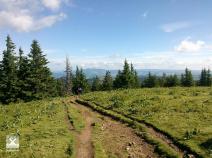
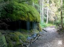
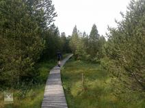
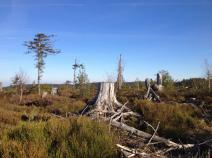
Black Forest

Stage overview
| Stage | Distance | Walking time | Total climb | Total descent |
|---|---|---|---|---|
| 10.01 Pforzheim - Dobel | 28.8km | 6h | 1174m | 767m |
| 10.02 Dobel - Forbach | 26.3km | - | 748m | 1155m |
| 10.03 Forbach - Mummelsee | 24.8km | - | 1415m | 677m |
| 10.04 Mummelsee - Alexanderschanze (Kniebis) | 22.8km | - | 636m | 699m |
| 10.05 Alexanderschanze (Kniebis) - Hark | 16.5km | - | 338m | 576m |
| 10.06 Hark - Hausach | 15.4km | - | 540m | 981m |
| 10.07 Hausach - Wilhelmshöhe (Schonach) | 21.2km | - | 1388m | 652m |
| 10.08 Wilhelmshöhe (Schonach) - Thurner | 29.9km | - | 997m | 924m |
| 10.09 Thurner - Feldberg | 29.7km | - | 1240m | 802m |
| 10.10 Feldberg - Lenzkirch | 26km | - | 555m | 1229m |
| 10.11 Lenzkirch - Schattenmühle | 18.4km | - | 678m | 799m |
| 10.12 Schattenmühle - Blumberg | 21.5km | - | 956m | 954m |
| 10.13 Blumberg - Engen | 26.8km | - | 755m | 912m |
| 10.14 Engen - Singen | 26.1km | - | 1053m | 1159m |
| 10.15 Singen - Güttingen | 17.2km | - | 521m | 484m |
| 10.16 Güttingen - Konstanz | 29km | - | 608m | 680m |


