1.05 Eckernförde - Dänisch Nienhof

23.3km
Distance

-
Walking time

498m
Total climb

474m
Total descent
Photos
 Add/edit photos


Stage description
N.B.: We don't have an English description of the stage just yet. We'll give you the German version for now until the English version is ready.
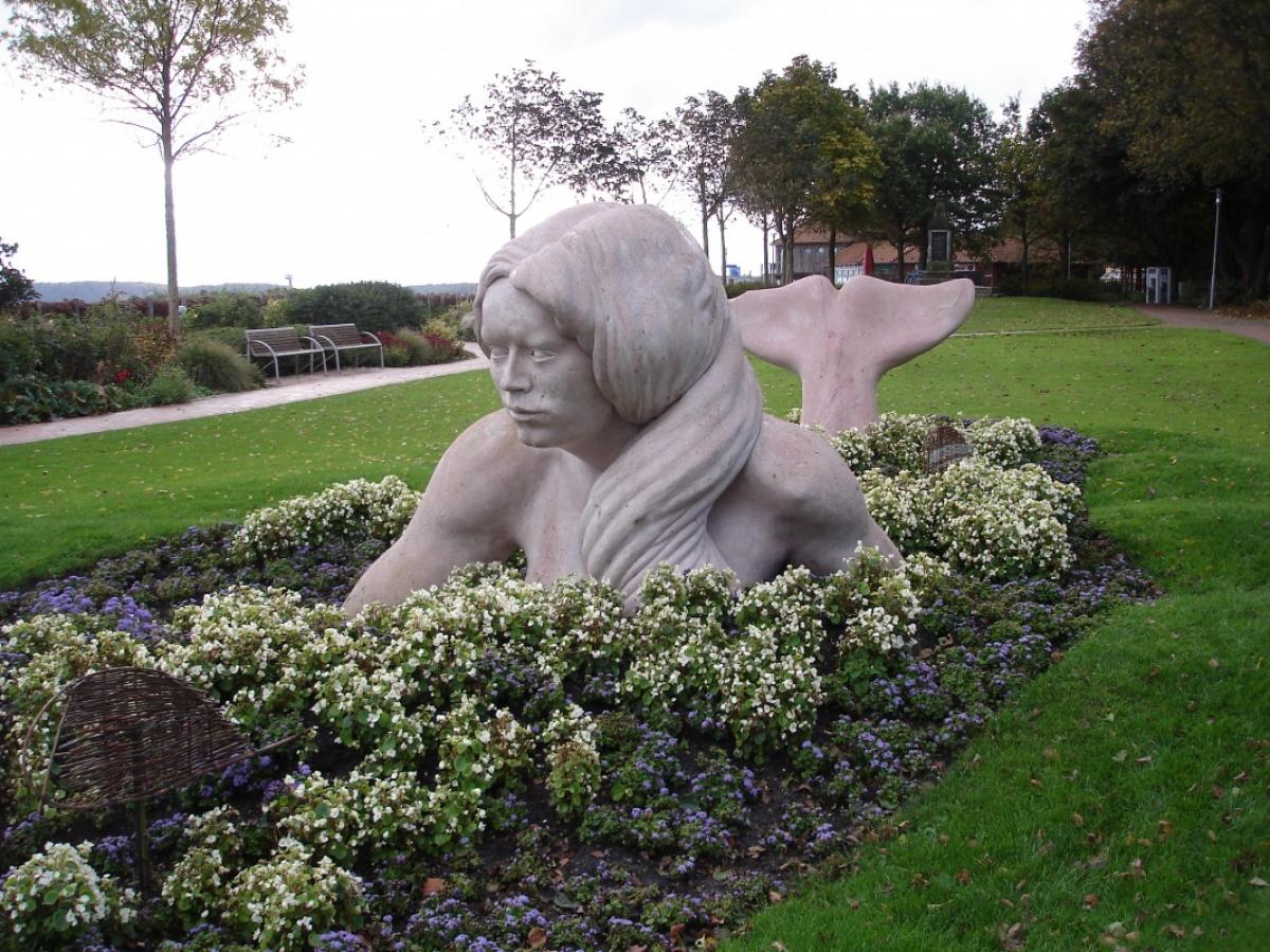
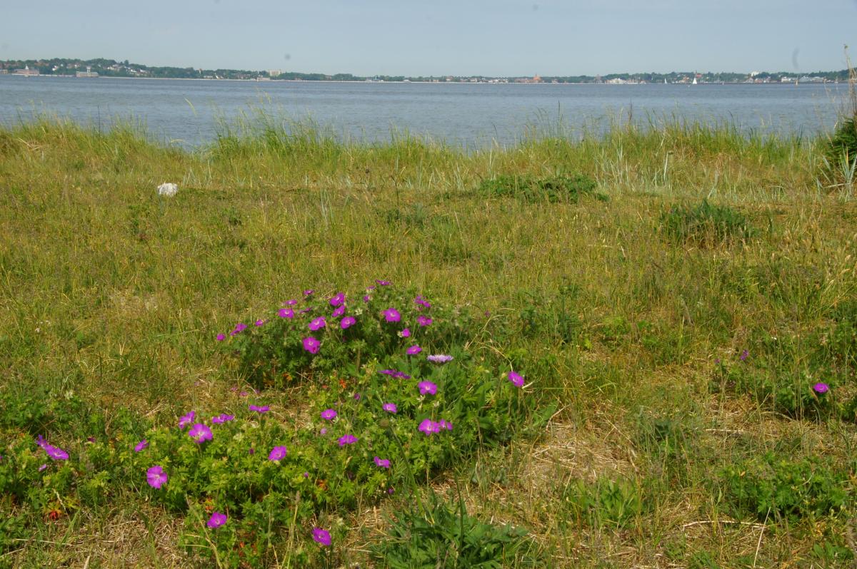
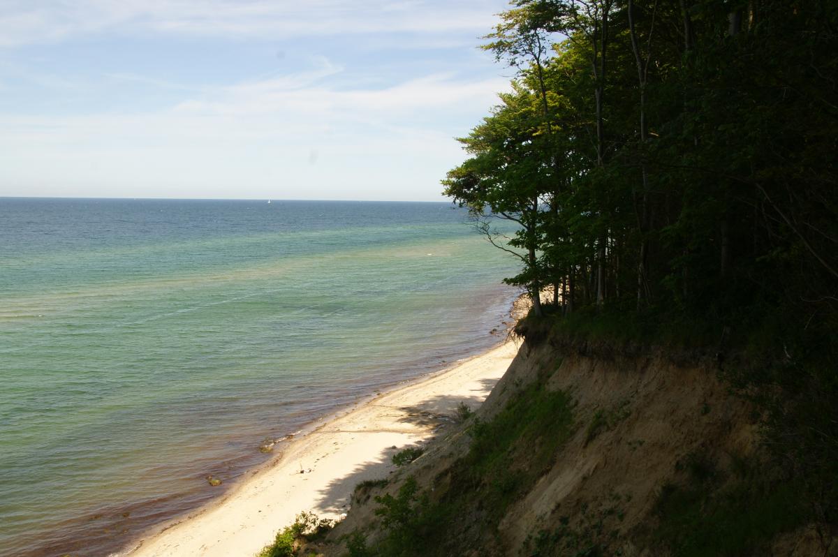
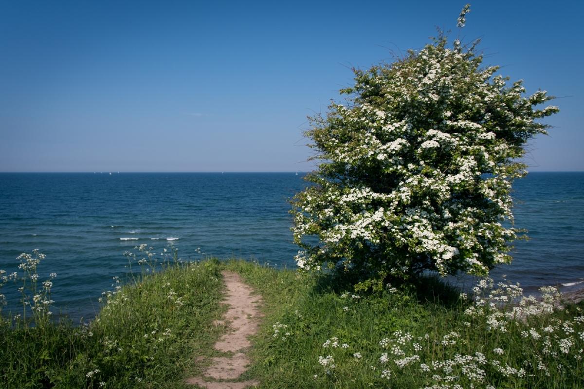
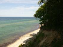
Von der Eckernförder Fußgängerzone aus macht der Wegverlauf einen Schlenker zum Bahnhof und dann wieder zurück an die sehr gepflegte Strandpromenade. Am Ende der Promenade wird die Bahn überquert und es geht auf eine Anhöhe, von der man einen fantastischen Blick auf die Eckernförder Bucht und den Verlauf dieser Etappe hat. Von dieser Anhöhe hinunter führt der Weg zurück über die Bahn an die Küste, wo man für einige Zeit der vielbefahrenen Bundesstraße folgen muss. An der Siedlung Kiekut hat man diesen eher unangenehmen Wegabschnitt hinter sich gebracht und besteigt den Mövenberg, wo sich ein großer Begräbniswald befindet. Besonders am Sonntag ist daher viel los hier.
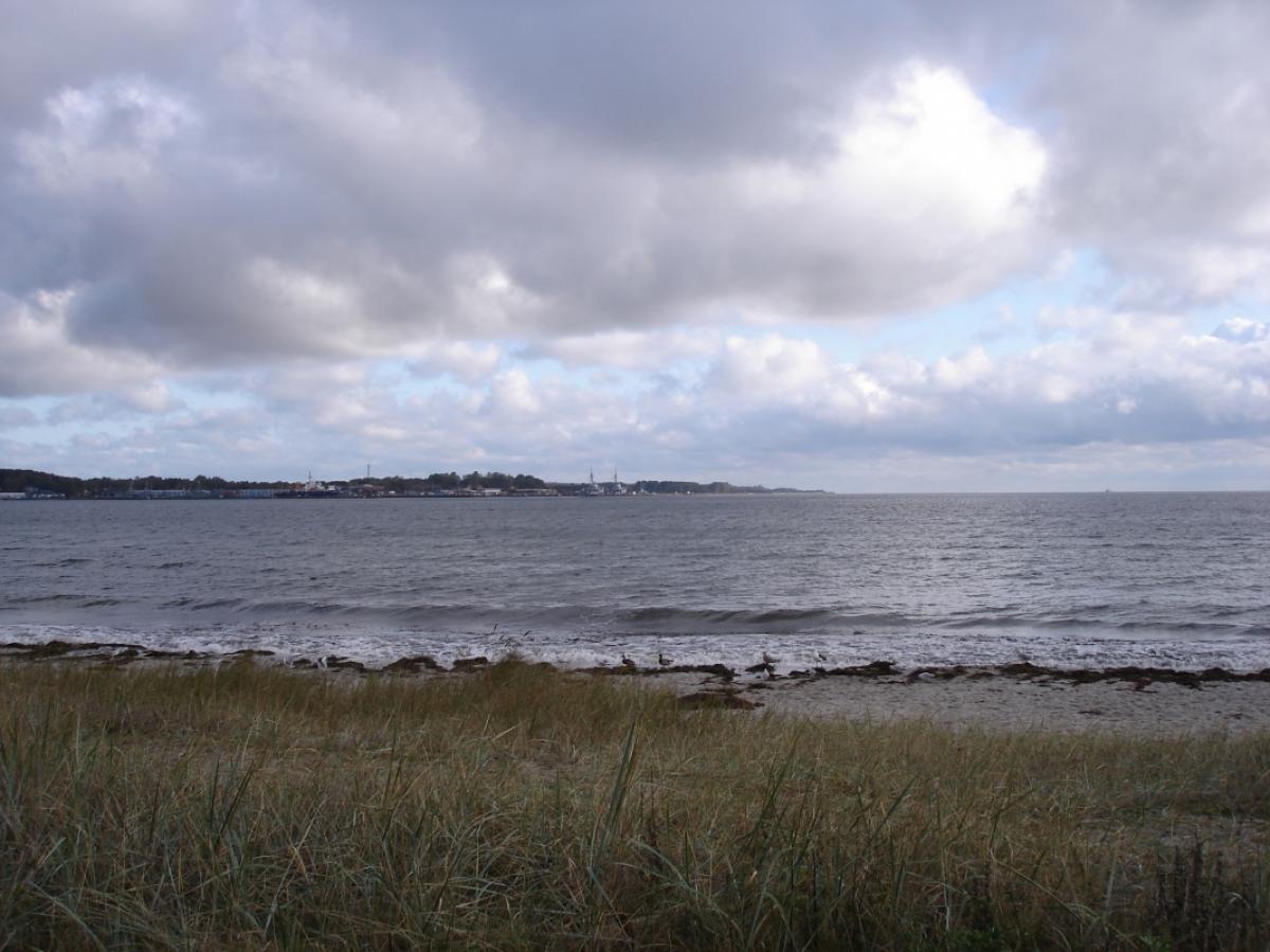
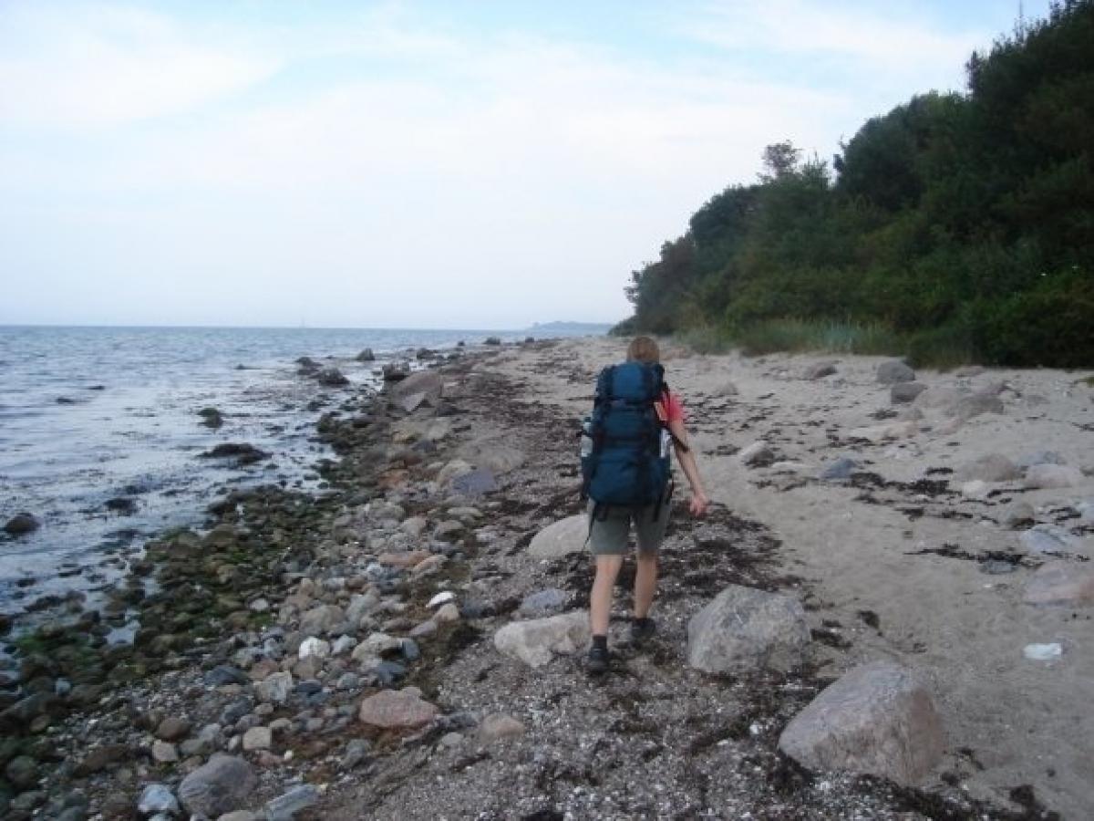
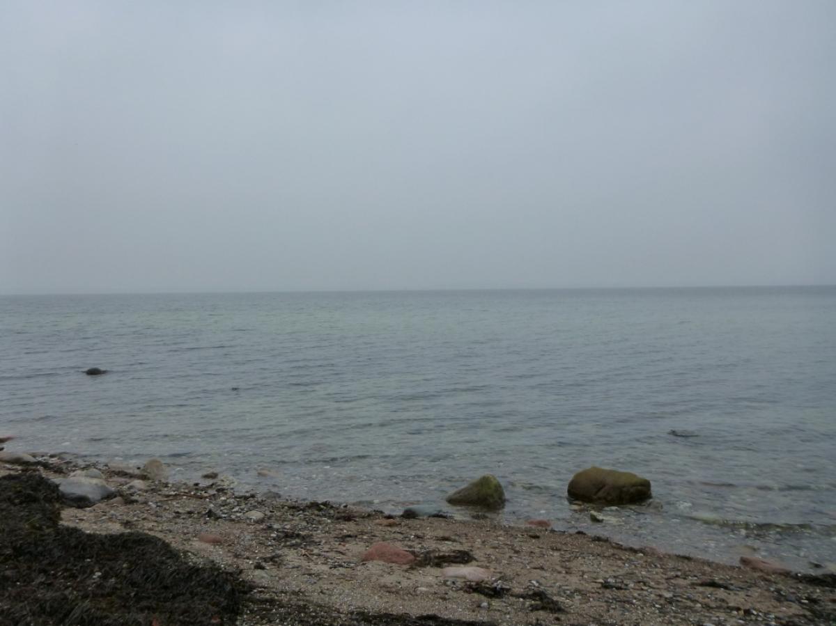
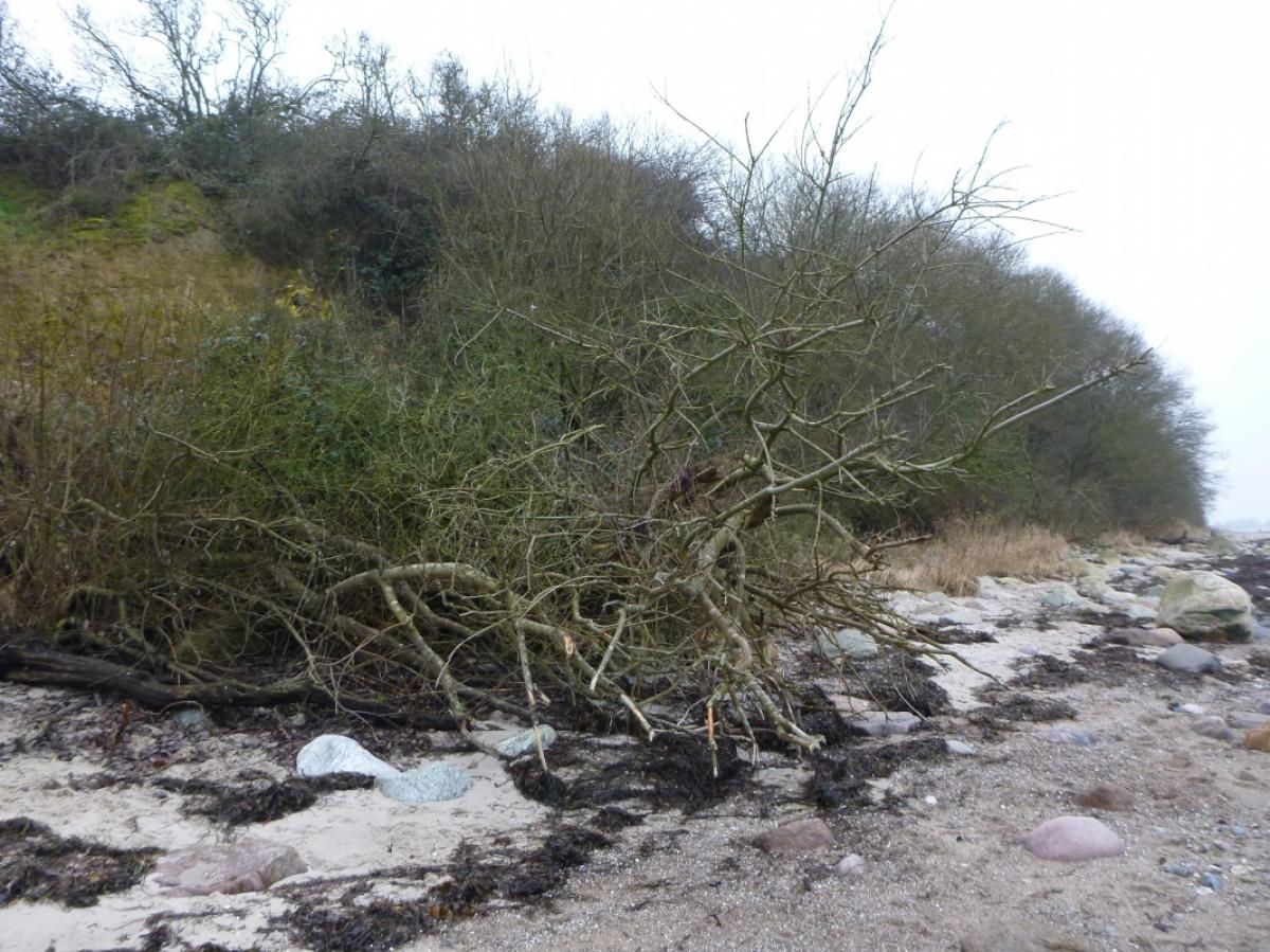
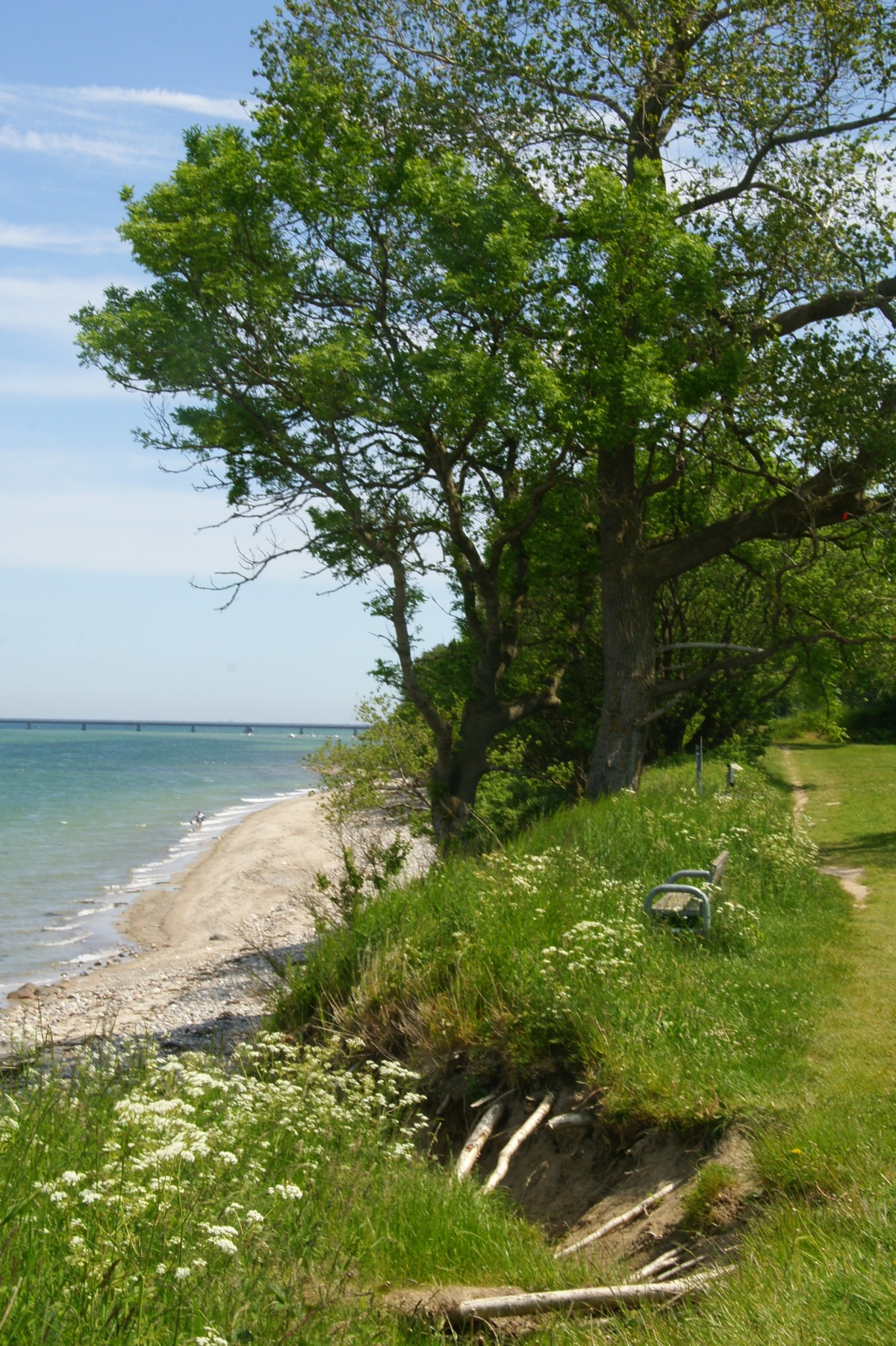
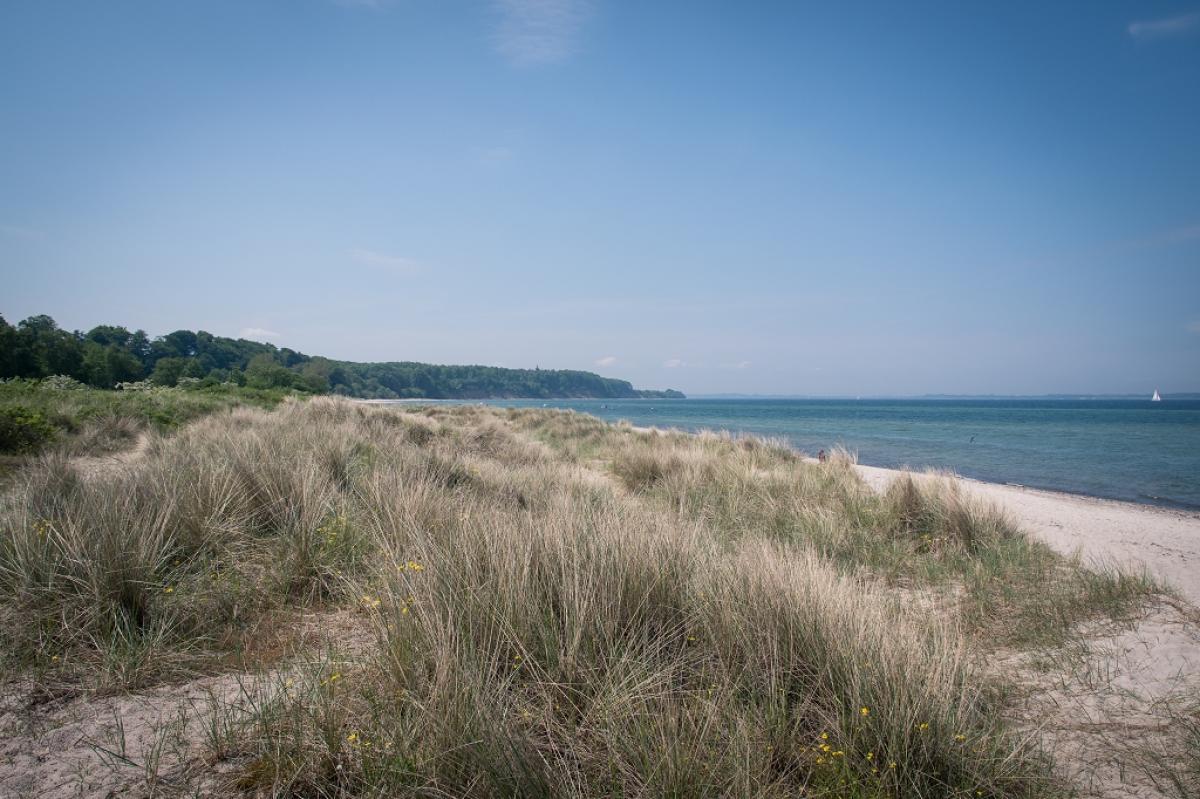
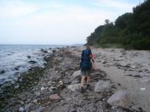
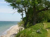
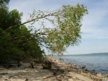
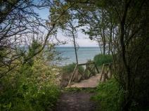
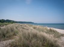
Der Weg führt weiter im Zickzackkurs durch das Schnellmarker Holz, wo man gelegentlich das Meer durch die Bäume durchschimmern sehen kann. Schließlich erreicht man am Ende des Waldes wieder die Ostseeküste und geht auf einem gut zu gehenden Grasweg in Richtung Aschauhof, immer am Wasser entlang. Der Weg endet schließlich am naturbelassenen Strand, dem man nun für über 3 km bis kurz vor Noer folgen muss. Das erste Stück kann man auch alternativ über das Campingplatzgelände gehen, um ein wenig die Kräfte zu schonen.
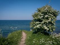
Kurz vor Noer steigt der E1 von der Küste hinauf in den Wald (Markierung kurz vorher auf einem Findling am Strand). Vom Wald aus kommt man direkt nach Noer, wo es dann wieder Richtung Küste geht und der nächste 3 km lange Strandabschnitt auf den Wanderer wartet. Bei Jellenbek geht es wieder ans Hochufer, für diese Etappe hat man die kraftraubenden Strandabschnitte nun geschafft. Die Küstenlinie wird bei Surendorf kurz verlassen, um eine Marinefunkstation zu umgehen.
Bei Eckernholm führt der Weg noch einmal in den Wald. Die Markierungen zeigen an, dass der Weg weiterhin am Steilufer entlangführt. Ein Schild verbietet das Wandern dort jedoch aufgrund von möglichen Abbrüchen. Es ist also durchaus ratsam, einen Weg weiter weg vom Ufer durch den Wald zu suchen. An einer beeindruckenden Villa erreicht man schließlich das Etappenende in Dänisch-Nienhof.
 Show authors
The following users contributed to this text:
Daniel Seekamp
Hiking maps
No maps added yet
Marking
-
 St. Andrew's cross / E1
Accommodation
 Add accommodation
| Accommodation | Price group | |||
|---|---|---|---|---|
| 5-15 € | 16-30 € | 31-45 € | >45 € | |
|
DJH Jugendherberge Eckernförde
Eckernförde
Price group: 15-30 €
|
 |
|||
|
Campingplatz Grönwohld
Schwedeneck
Price group: 5-15 €
|
|
|||
|
Campingplatz Surendorf
Schwedeneck
Price group: 5-15 €
|
|
|||
|
Peanuts Hostel & Meer
Schwedeneck
Price group: 30-45 €
|
|
|||
|
Show more accommodation in Eckernförde
and Krusendorf
(booking.com / Ad)
|
||||
Literature

Sources and copyright
GPX track coordinates: © OpenStreetMap contributors. Published under Open Database License (ODbL)GPX-Downloads
You can use the GPX track for navigation and tour planning on your digital device (GPS, smartphone, online tour planner).
| Etappe Stage 1.05 Eckernförde - Dänisch Nienhof | Download (.gpx) |
| All tracks in Germany | Download (.zip) |
The download and many of the services offered on this page are free of charge. However, I would greatly appreciate a small donation as a token of appreciation for my work! This can be done through Paypal or a supporting membership. Thank you very much!