1.03 Schleswig - Brekendorf
20.8km
Distance
-
Walking time
294m
Total climb
275m
Total descent
Photos


Stage description
NB: The route described below refers to the old path (up until 2017). The current path no longer takes you through the Westermoor.
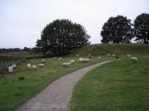
Wonderful stage on enchanted paths. The Viking settlement of Haithabu is a cultural highlight, rightly listed as a UNESCO World Heritage Site. Even though there is not much more to see of the former settlement than a semicircular earth wall, there is enough to see with the Viking Museum and the reconstructed Viking houses - not to mention the scenic beauty of the area directly on Haddebyer Noor.
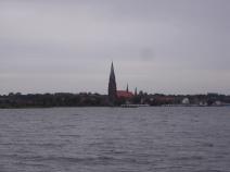
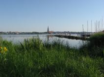
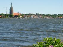
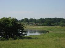
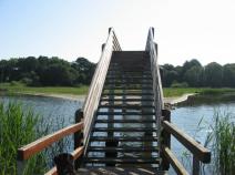
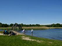
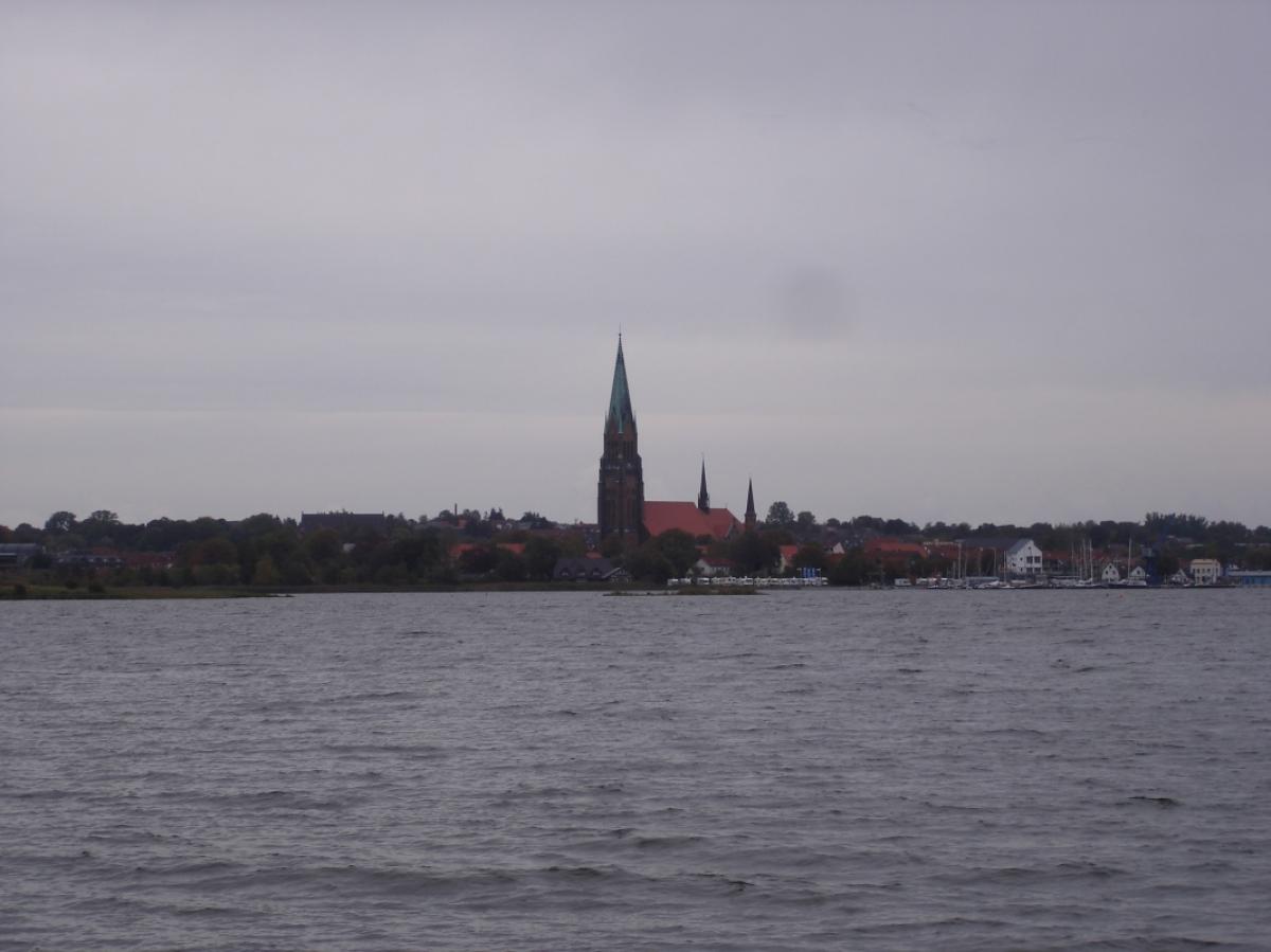
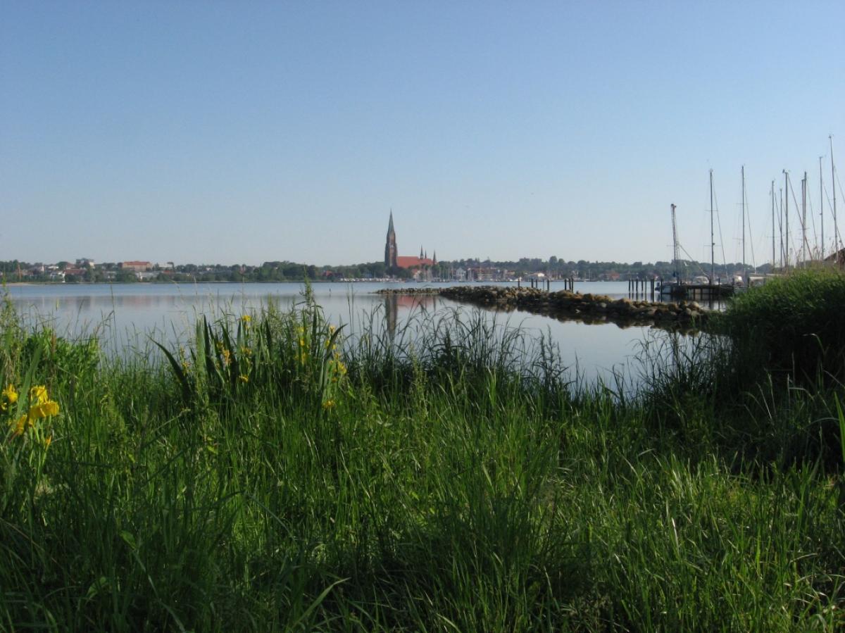
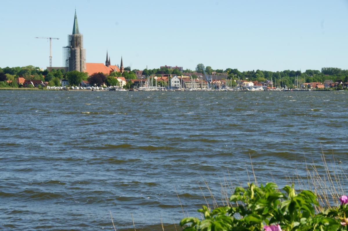
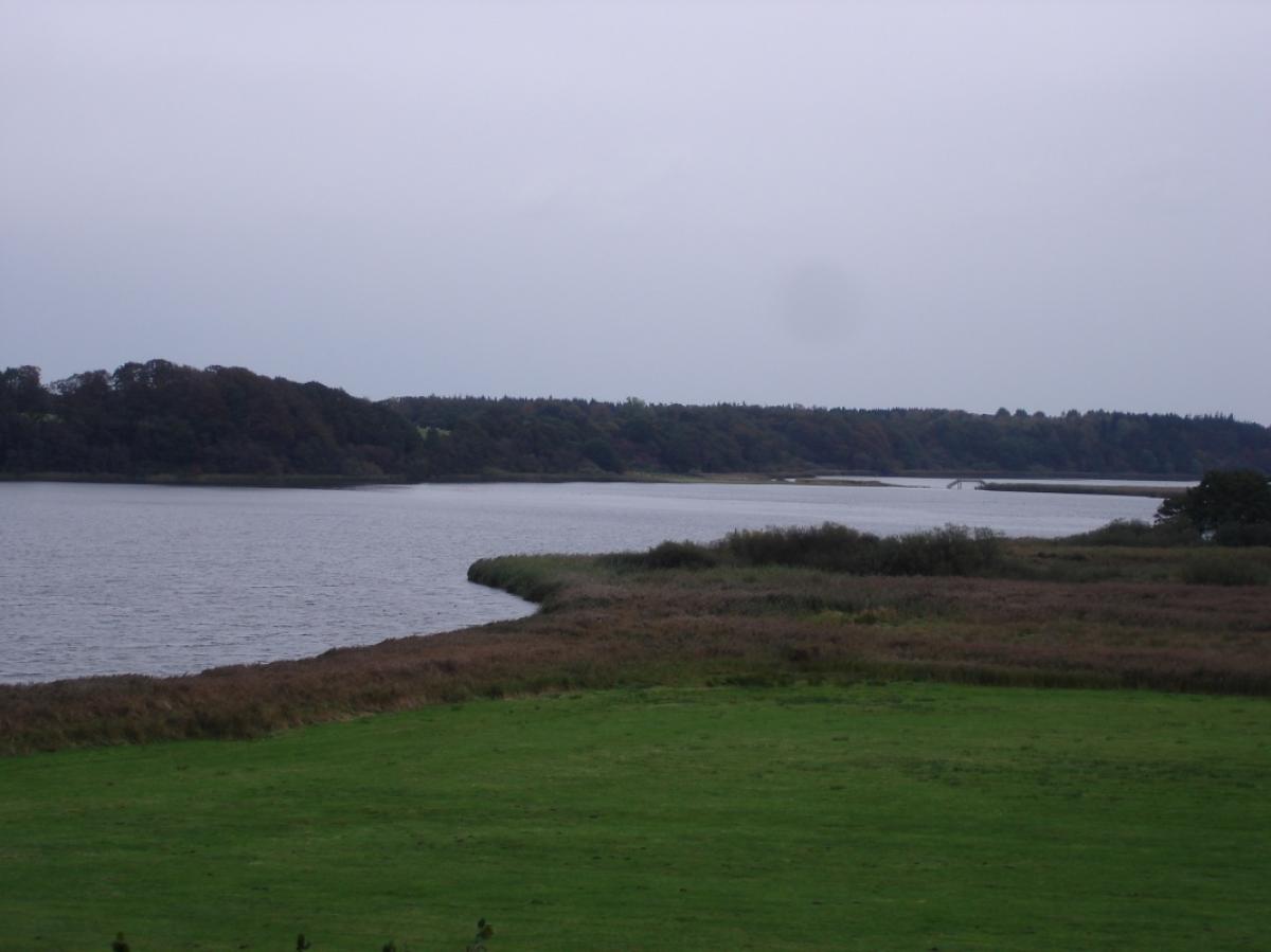
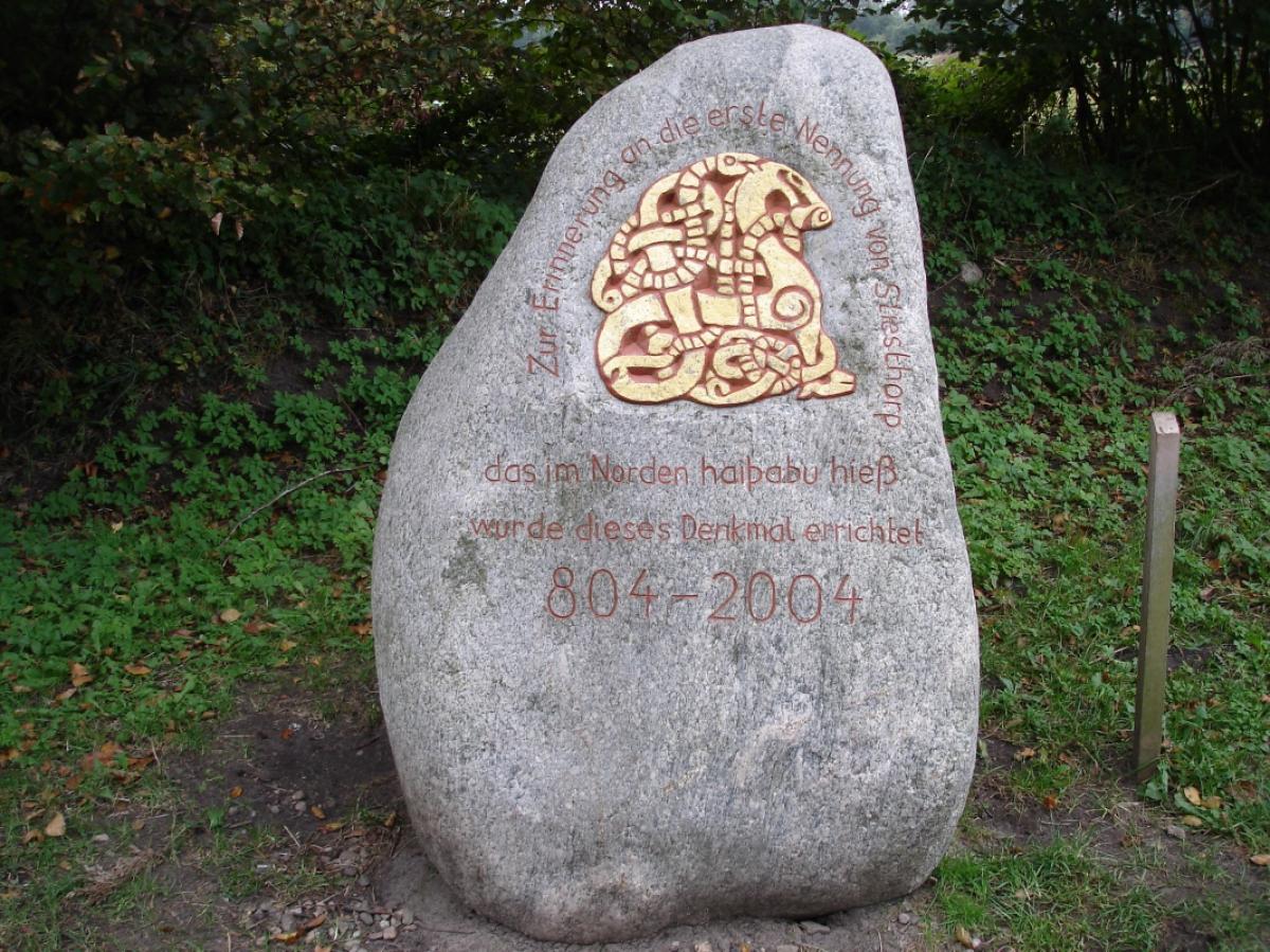
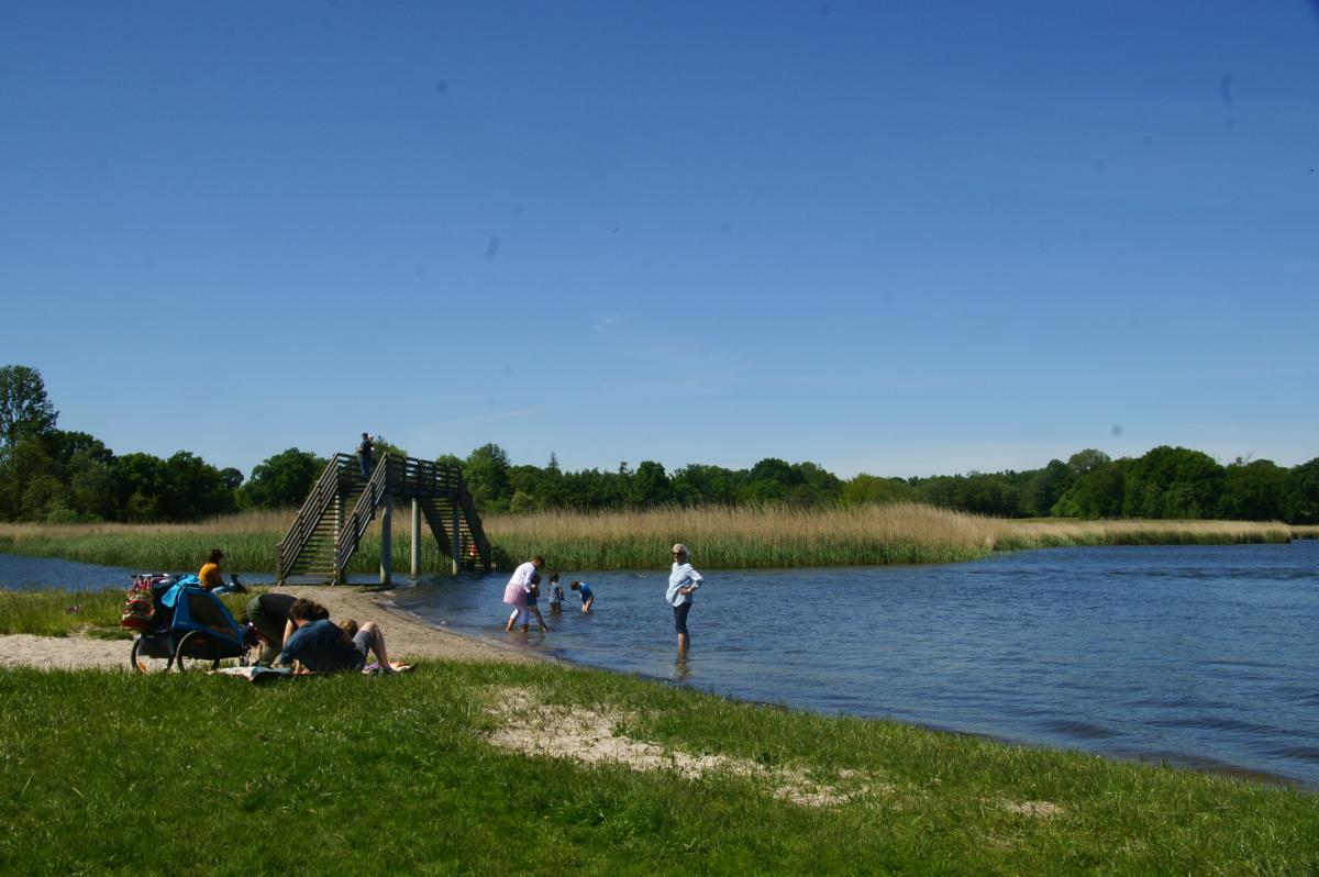
From Schleswig you can reach the small settlement of Haddeby - consisting of hardly more than an inn, a camping site and a church - on a hiking trail with a beautiful view of the silhouette of the city of Schleswig on the other side of the Schleiufer. The church dates from the 12th century and is said to date back to an even older church from the 9th century, which was built by Ansgar to Christianise the pagan Vikings in neighbouring Haithabu. In the church, which is worth seeing and is open in the afternoon in summer, the three-winged, late Gothic carved altar (ca. 1450) is particularly worth mentioning. From here, it is not far to Haithabu, which was the name of the village Haddeby (which is of Danish origin). The E1 circles the former Viking settlement on the semicircular wall covered with oaks. Further along the path you pass the replica of a rune stone, the so-called large Sigtryg stone, which was found at the site and the original of which is in the Viking Museum Haithabu. A little later, the narrowness between the Haddebyer and the Selker Noor to the south is crossed on a wooden bridge.
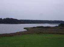
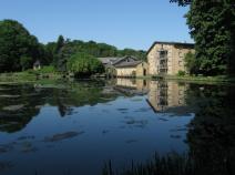
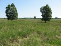
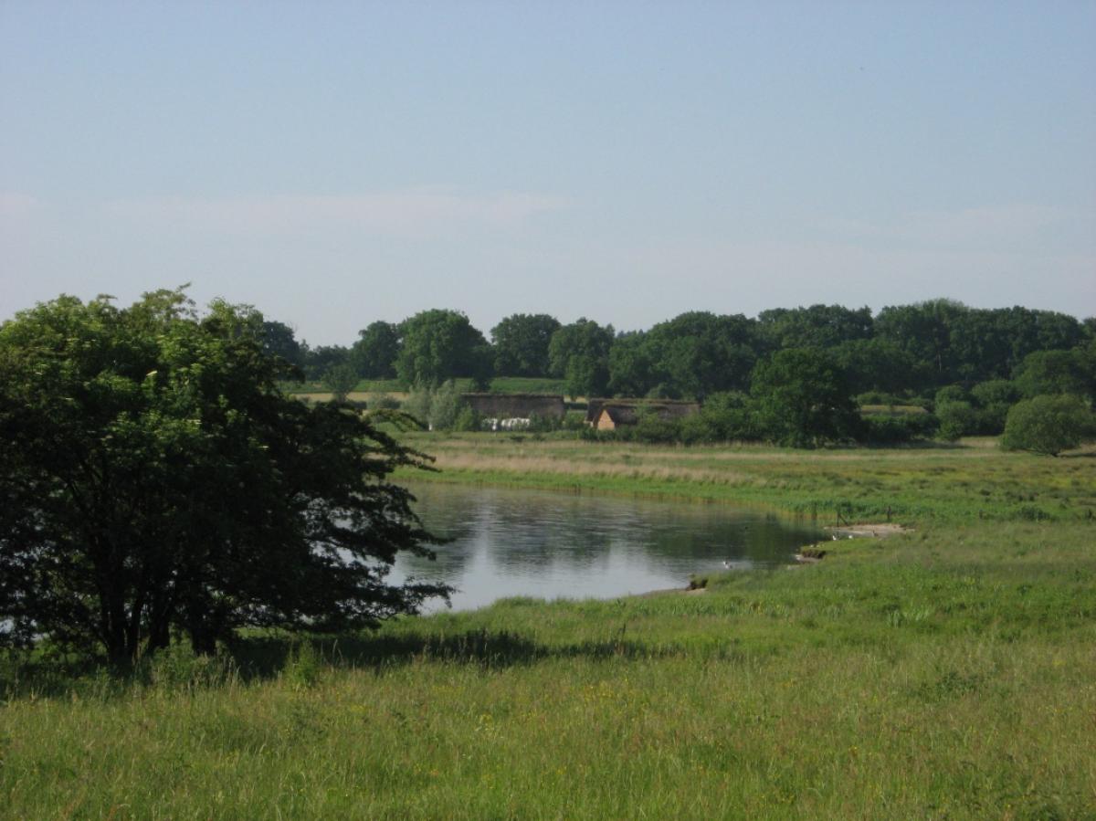
On the east bank of the Selker Noor further to Selk. In the area of the Selker Mill keep left and follow the signpost to the fishpond. The path is identical to the pilgrims' path until Lottorf. There do not follow the shell on the right, but turn left towards Brekendorf and then immediately right again. Stay on this path (there are only a few signs in this section) until you see a path on the left with a roofed bench on which there is also an E1 signpost. This path then leads along an overgrown path through Westermoor. Hang in there! In the middle of the moor there is a bush with signposts, and from there it is well signposted again. The stage is not too long and is easy to manage.
Hiking maps
No maps added yet
Marking
-
 St. Andrew's cross / E1
Accommodation
| Accommodation | Price group | |||
|---|---|---|---|---|
| 5-15 € | 16-30 € | 31-45 € | >45 € | |
|
DJH Jugendherberge Schleswig
Schleswig
Price group: 15-30 €
|
|
|||
|
Campingplatz Haithabu
Busdorf / Haddeby b. Schleswig
Price group: 5-15 €
|
|
|||
|
Gästehaus Selker Noor
Selk
Price group: 30-45 €
|
|
|||
|
Show more accommodation in Schleswig
(booking.com / Ad)
|
||||
Literature

Sources and copyright
GPX track coordinates: © OpenStreetMap contributors. Published under Open Database License (ODbL)GPX-Downloads
You can use the GPX track for navigation and tour planning on your digital device (GPS, smartphone, online tour planner).
| Etappe Stage 1.03 Schleswig - Brekendorf | Download (.gpx) |
| All tracks in Germany | Download (.zip) |
The download and many of the services offered on this page are free of charge. However, I would greatly appreciate a small donation as a token of appreciation for my work! This can be done through Paypal or a supporting membership. Thank you very much!