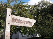
1.13 Bad Schwartau - Lübeck (Klein Grönau)
31.4km
Distance
-
Walking time
339m
Total climb
353m
Total descent
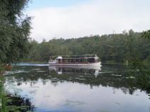
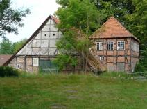
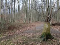
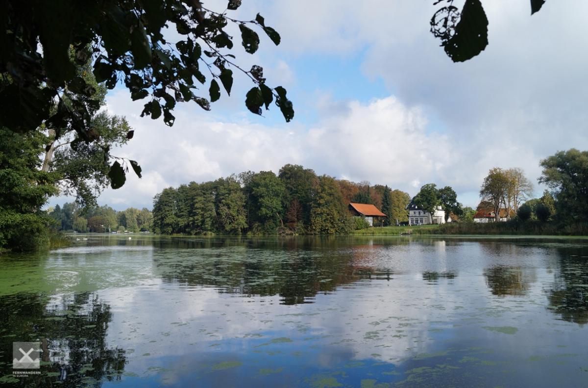
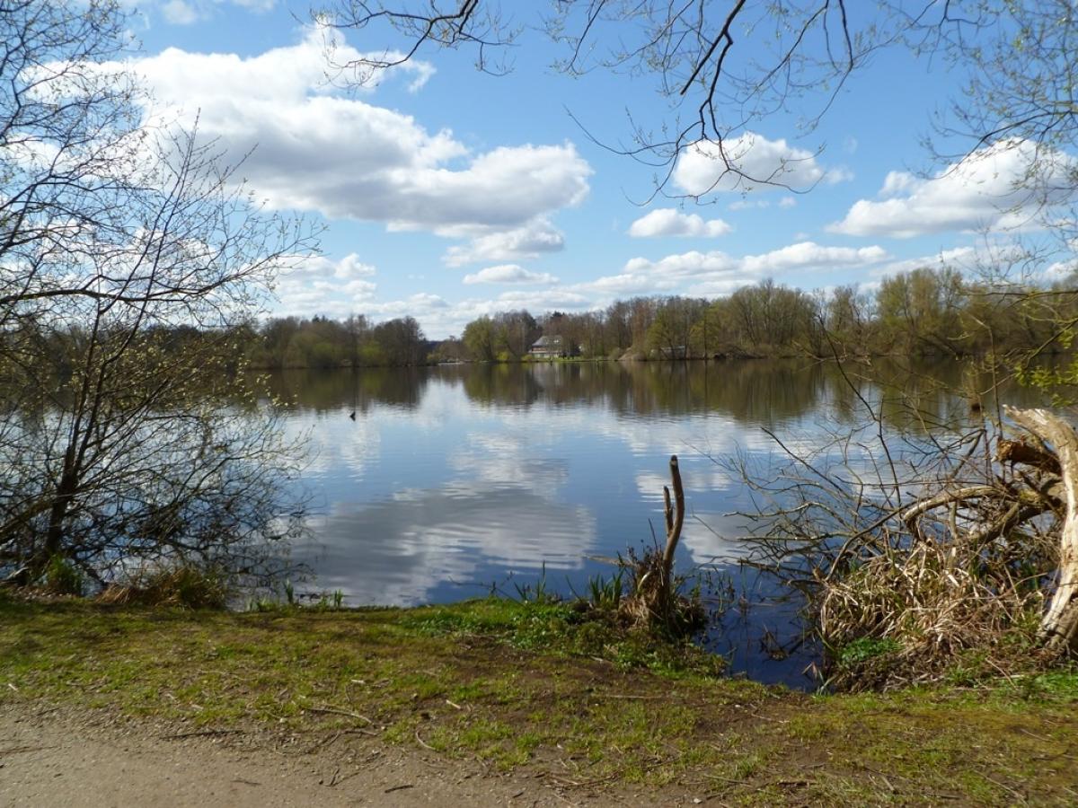
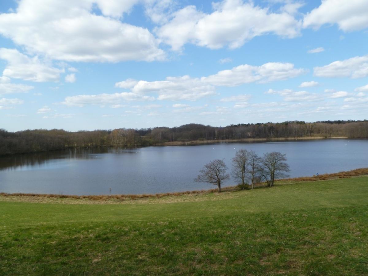
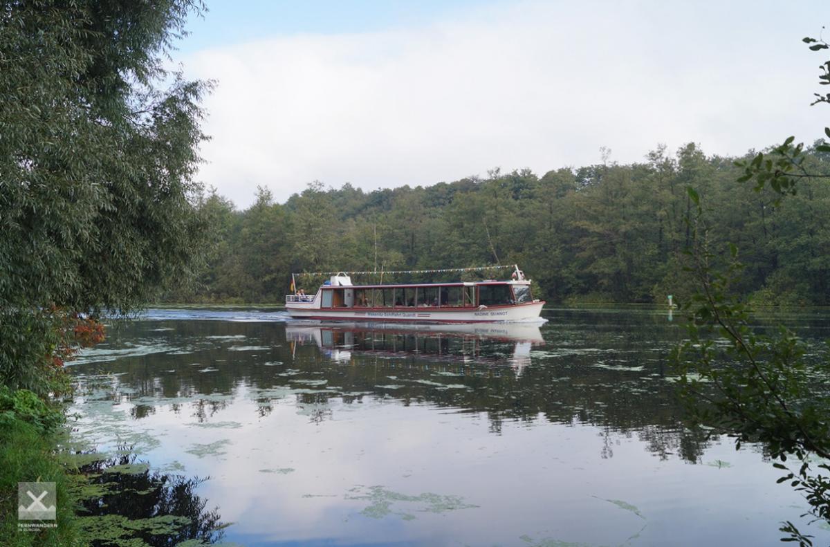
Photos


Stage description
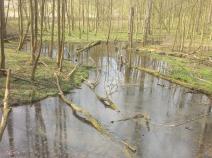
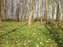
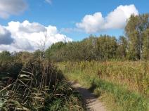
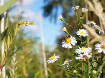
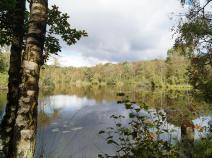
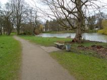
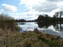
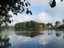
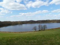
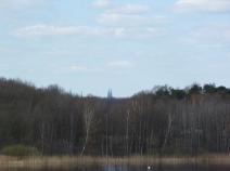
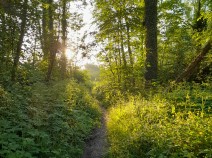
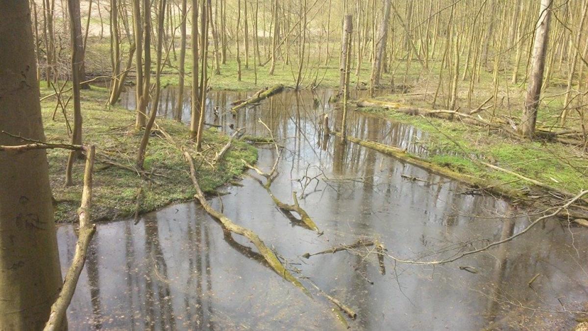
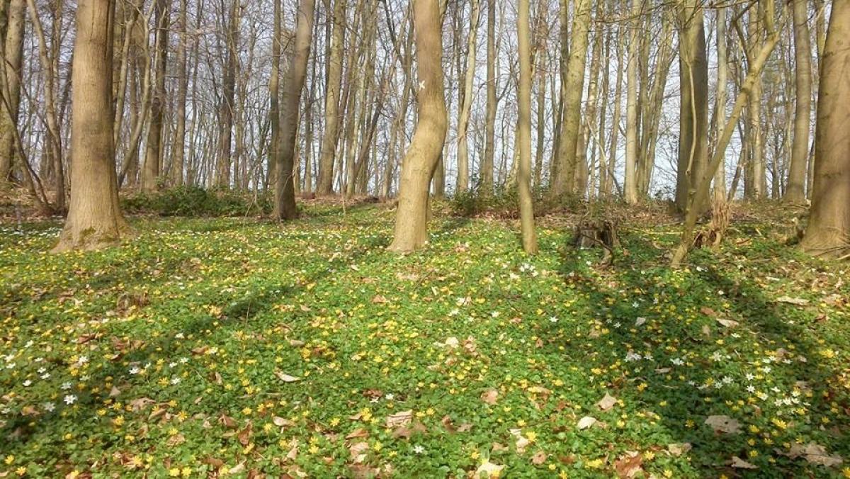
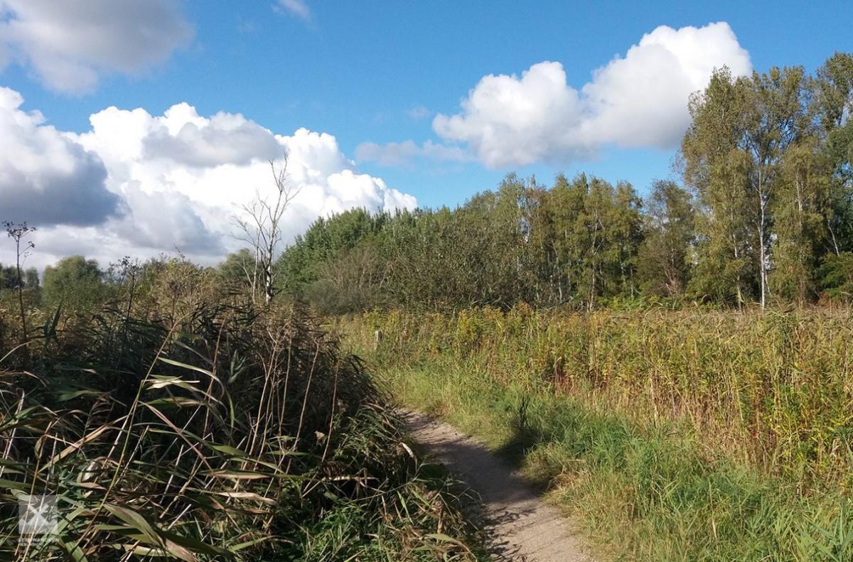
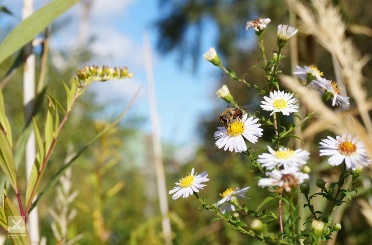
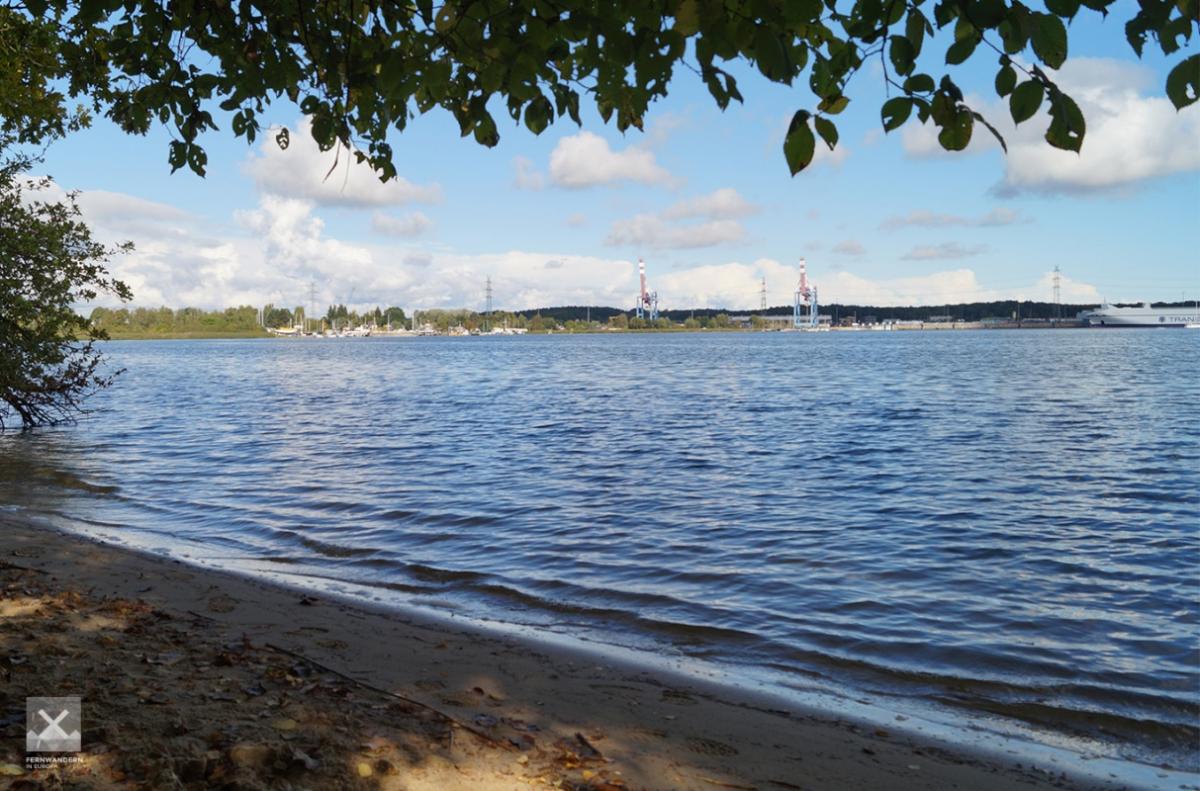
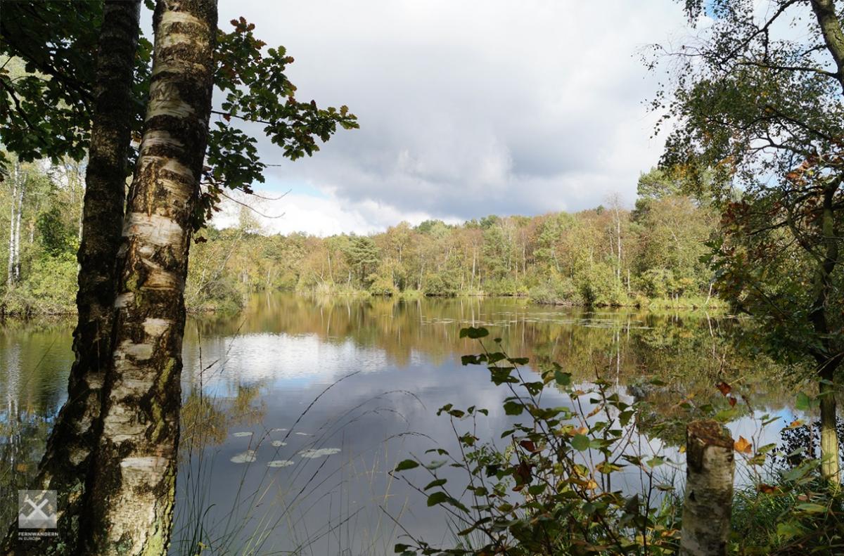
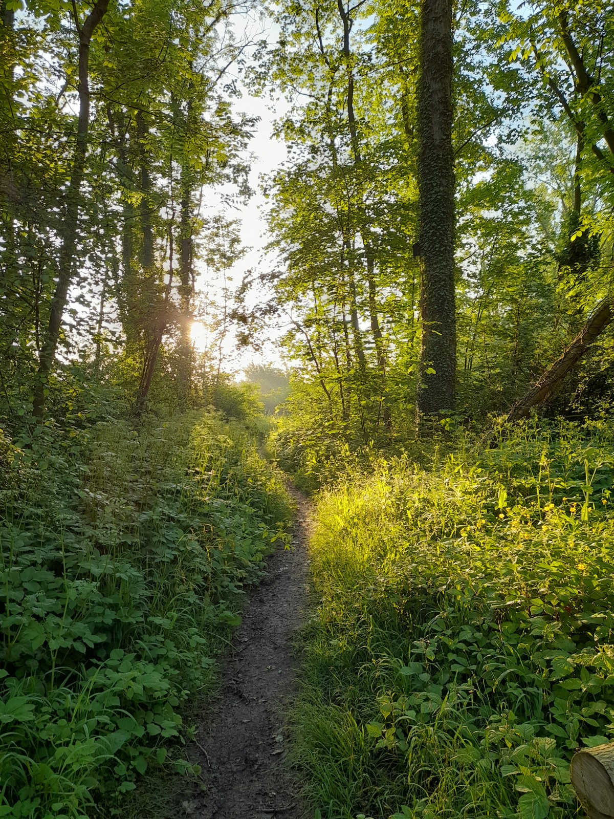
Despite always being close to a number of towns – some of which have to be traversed – this stage actually takes in some attractive scenery. One of the highlights is the Sielbektal between Ratekau and Kreuzkamp.
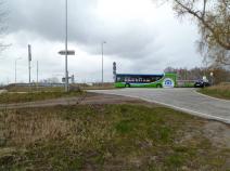
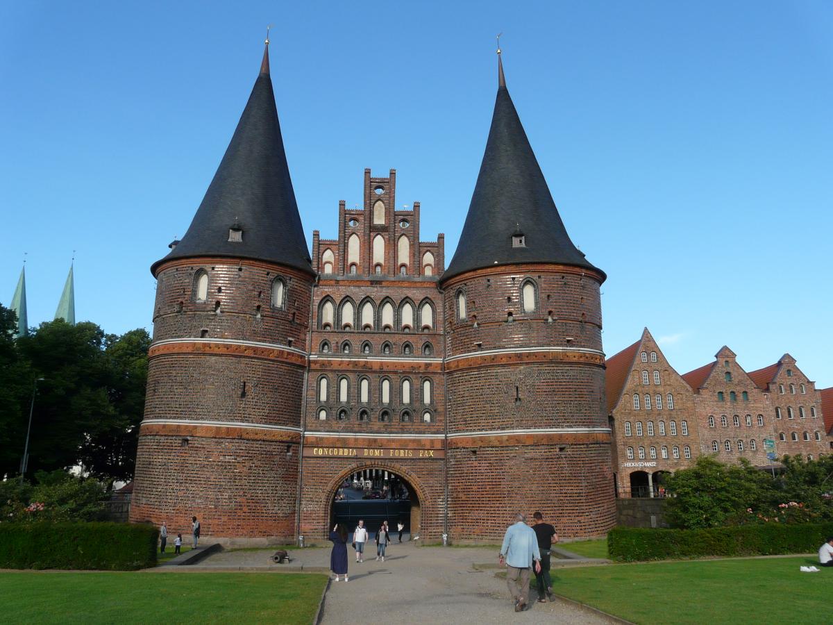
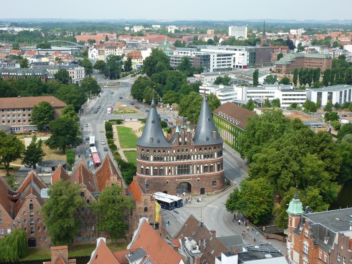
Leaving Lübeck there is a tunnel under the River Trave, the Herrentunnel. Pedstrians are not allowed to walk through this tunnel but there is a shuttle bus (you'll find it behind the fence) to take you through to the other side (more information).
Through the tunnel, there is an alternative route that takes you through Lübeck's city centre (marked in blue on the map, available as a GPS Track).
In Klein Grönau, you can take a bus north back to Lübeck or heading south to Ratzeburg and Mölln. Click here for the timetable.
Hiking maps
No maps added yet
Marking
-
 St. Andrew's cross / E1
Accommodation
| Accommodation | Price group | |||
|---|---|---|---|---|
| 5-15 € | 16-30 € | 31-45 € | >45 € | |
|
Pensionshof Offendorferfelde
Ratekau-Kreuzkamp
Price group: 15-30 €
|
|
|||
|
DJH Jugendherberge Lübeck "Vor dem Burgtor"
Lübeck
Price group: 15-30 €
|
|
|||
|
DJH Jugendherberge Lübeck "Altstadt"
Lübeck
Price group: 15-30 €
|
|
|||
|
Landhaus Absalonshorst
Lübeck / Groß Grönau
Price group: >45 €
|
|
|||
|
Show more accommodation in Bad Schwartau
, Ratekau
, Kücknitz
, Lübeck
and Groß Grönau
(booking.com / Ad)
|
||||
Sights
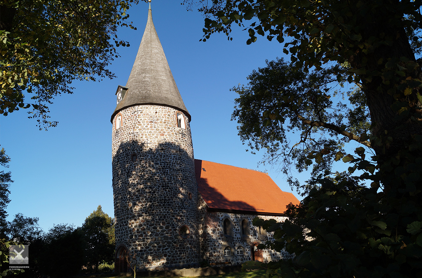
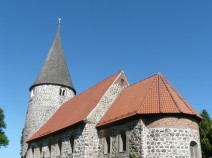
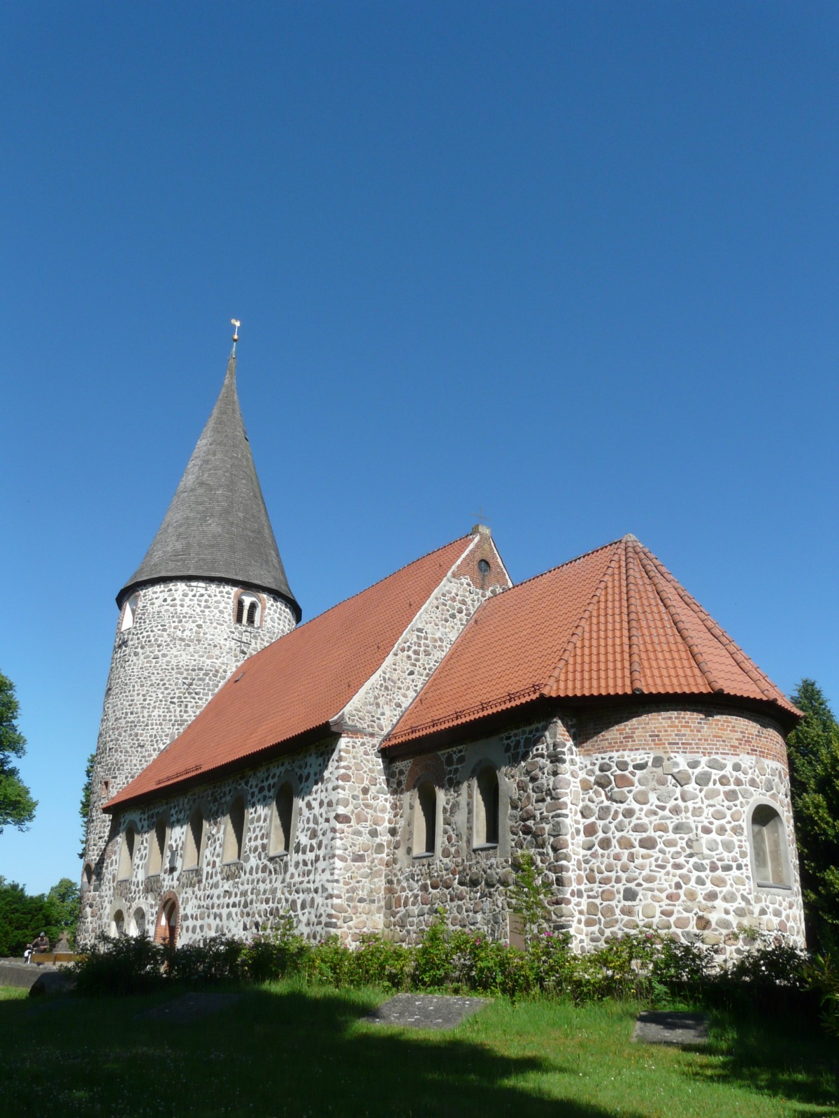
Vicelinkirche Ratekau
In Ratekau a short detour to the Vicelinkirche is worthwhile. It is one of the best preserved fieldstone churches/fortified churches from the 12th century in eastern Holstein.
Literature

Sources and copyright
GPX track coordinates: © OpenStreetMap contributors. Published under Open Database License (ODbL)GPX-Downloads
You can use the GPX track for navigation and tour planning on your digital device (GPS, smartphone, online tour planner).
| Etappe Stage 1.13 Bad Schwartau - Lübeck (Klein Grönau) | Download (.gpx) |
| Alternativroute durch Innenstadt Lübeck | Download (.gpx) |
| All tracks in Germany | Download (.zip) |
The download and many of the services offered on this page are free of charge. However, I would greatly appreciate a small donation as a token of appreciation for my work! This can be done through Paypal or a supporting membership. Thank you very much!