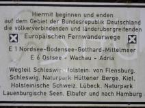
1.01 Danisch Border - Flensburg - Oeversee
22.6km
Distance
-
Walking time
311m
Total climb
303m
Total descent
Photos

Stage description
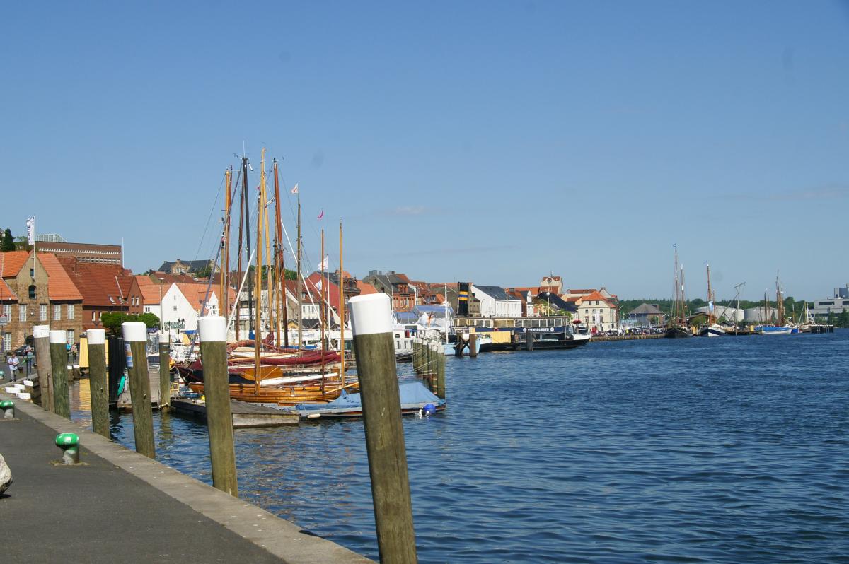
The first stage begins with beautiful beech forest and proximity to the Förde and then the charming old town of Flensburg, but is unfortunately also characterised by a lot of asphalt and, after a lean stretch in the middle area, only towards the end by more attractive scenery again.
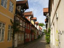
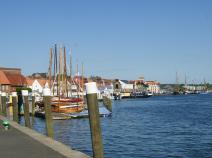
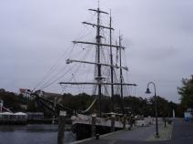
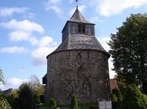
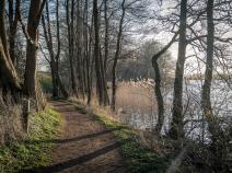
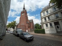
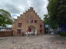
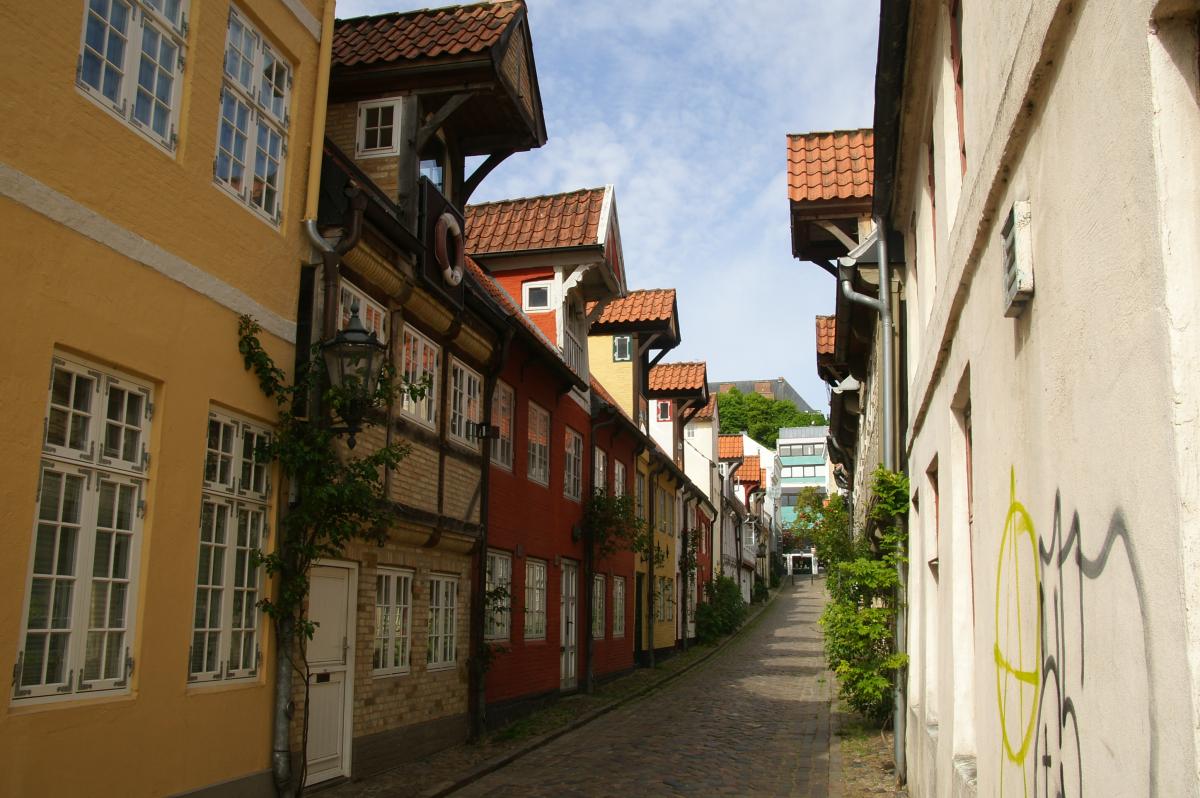
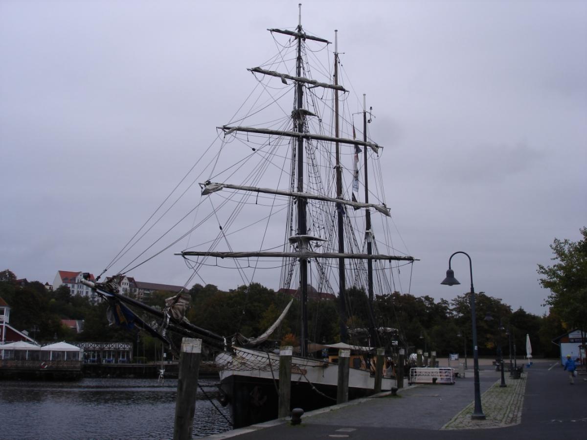
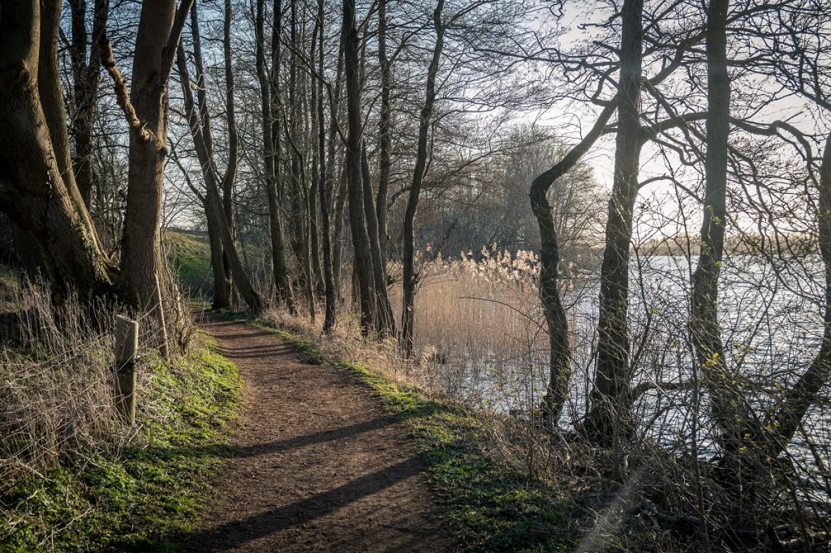
We start at the German-Danish border near Kupfermühle, first parallel to the often mentioned escalator up to the hotel car park, through Alte Zollstraße and Karlsbergweg to Neuwaldeck-Straße through beautiful beech forest. Then along a path and forest tracks down to Wassersleben Bay. Continue directly along the fjord to the south and then first through residential areas, then the new town and the old town to Flensburg's harbour tip.
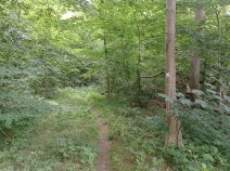
From there over the Haftendamm and up a flight of stairs to Erlenweg. Here you clearly notice that Flensburg is not located in the lowlands. Via Erlenweg you reach a more urban section again at Bismarckstraße and Sandberg, before it becomes greener again with Johannisallee and the area in front of the station. The railway is crossed on the road bridge. The route then runs parallel to the railway on quiet, shady paths to the Waldorf School. Continue unavoidably through an industrial estate and then into Jarplunder Weg, where there is a conspicuous amount of tractor traffic.
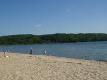
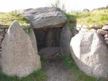
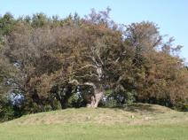
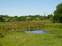
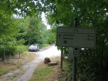
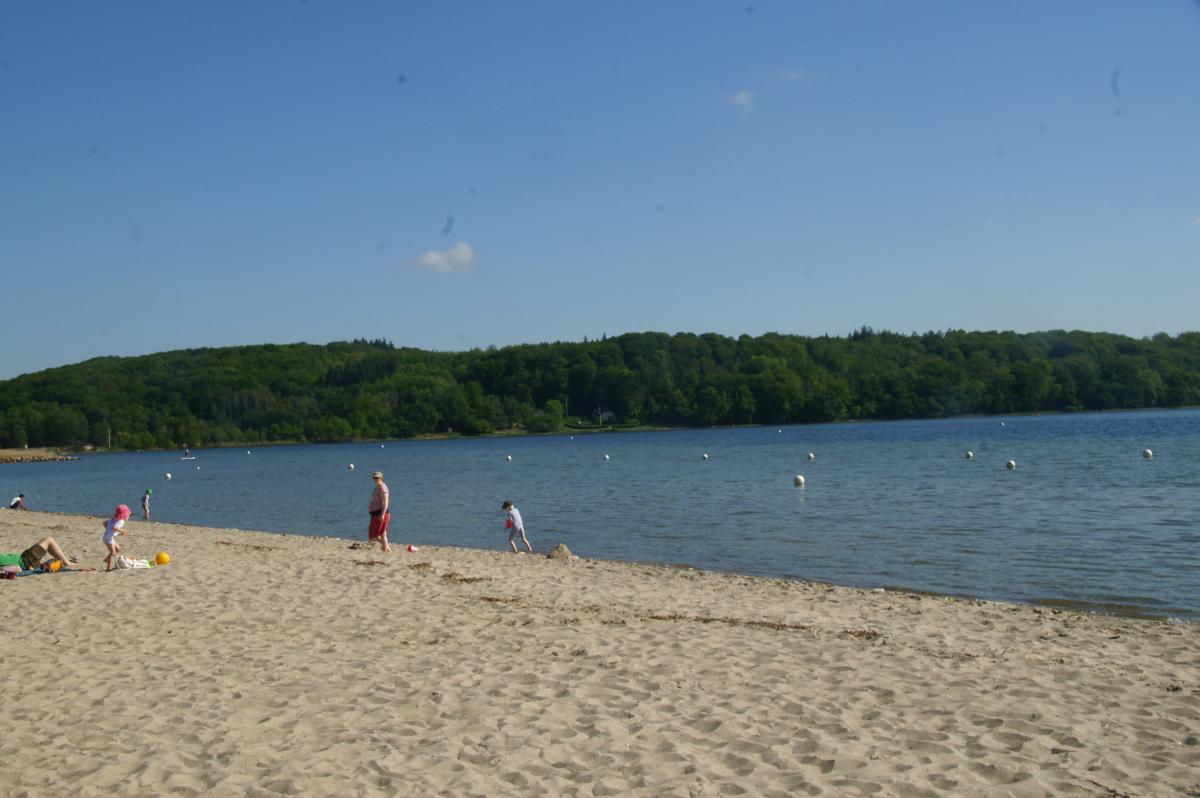
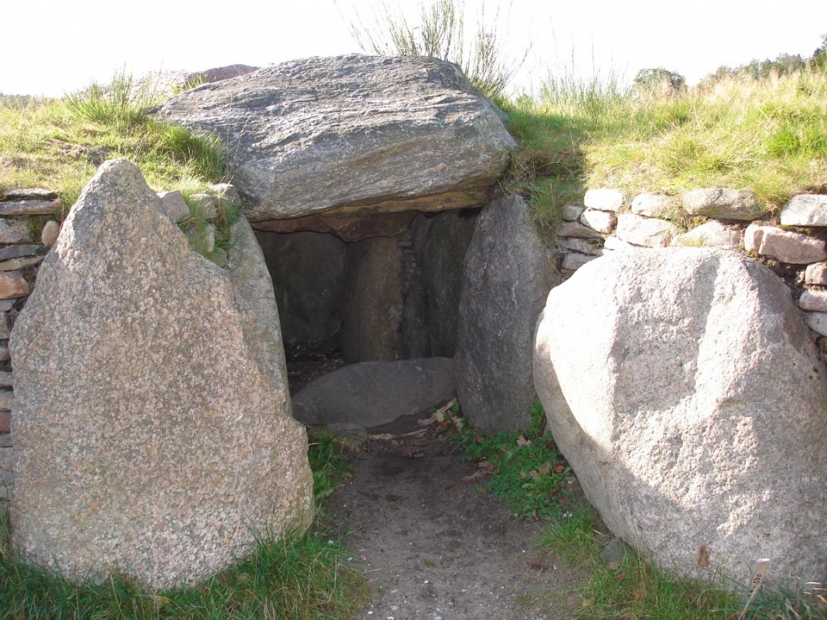
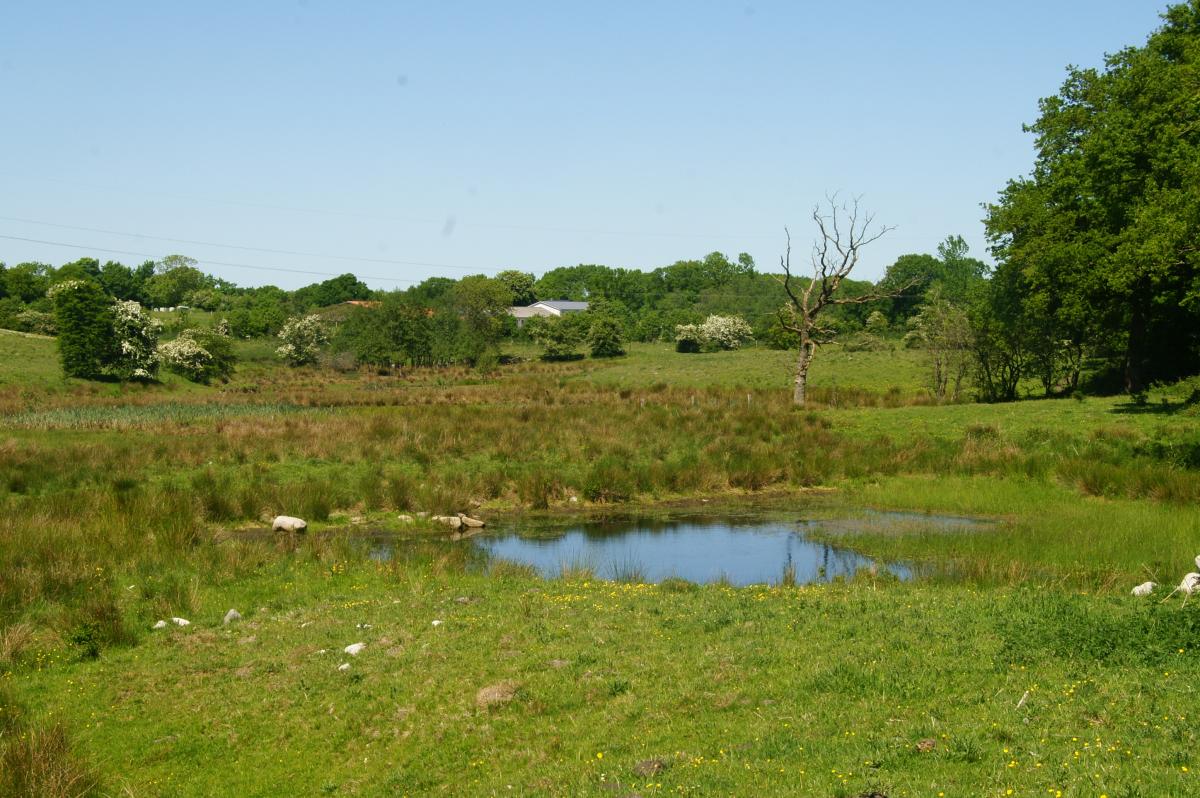
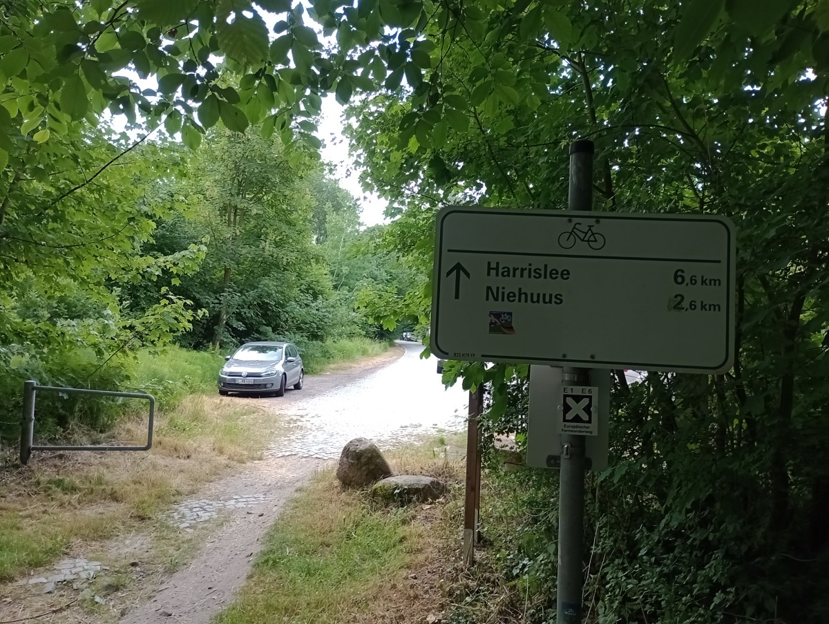
From Jarplund to Munkwolstrup it becomes quieter and also more scenic. Soon after Munkwolstrup, you pass Arnkielpark with a restored megalithic tomb. Then you cross the L 317, formerly the B76, and reach Lake Sanklemark, which you circle clockwise 1/4 of the way. The route continues south along a field path to Oeversee.
Because the first two stages are quite long and Flensburg and Schleswig have a lot to offer that you can't take in if you walk from morning to night, you could consider staying in one of the towns and dividing the two stages into three, for example Kupfermühle - Jarplund, Jarplund - Sieverstedt and Sieverstedt - Schleswig. There is a good bus connection from Flensburg via Jarplund and Sieverstedt to Schleswig, even at weekends.
Hiking maps
No maps added yet
Marking
-
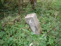
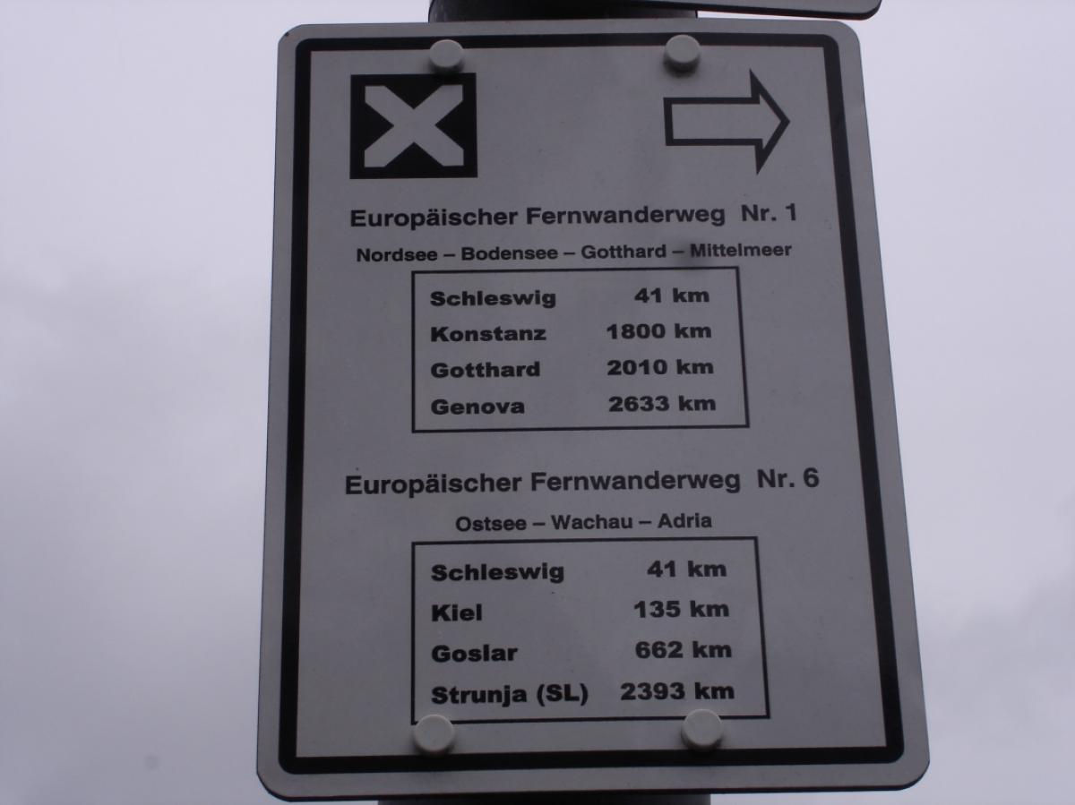
 St. Andrew's cross / E1
Accommodation
| Accommodation | Price group | |||
|---|---|---|---|---|
| 0-150 DKK |
151-300 DKK |
301-450 DKK |
>450 DKK |
|
|
Dansleep Padborg
Padborg
Price group: DKK 300-450
|
|
|||
|
Kruså Camping
Kruså
Price group: DKK 0-150
|
|
|||
| 5-15 € | 16-30 € | 31-45 € | >45 € | |
|
Seemannsheim - Hostel und Herberge
Flensburg
Price group: 15-30 €
|
|
|||
|
Hostel Flensburg
Flensburg
Price group: 15-30,30-45 €
|
|
|
||
|
DJH Jugendherberge Flensburg
Flensburg
Price group: 15-30 €
|
|
|||
|
Salz & Pfeffer im Gasthaus Frörup
Oeversee
Price group: 30-45 €
|
|
|||
Literature

Sources and copyright
GPX track coordinates: © OpenStreetMap contributors. Published under Open Database License (ODbL)GPX-Downloads
You can use the GPX track for navigation and tour planning on your digital device (GPS, smartphone, online tour planner).
| Etappe Stage 1.01 Danisch Border - Flensburg - Oeversee | Download (.gpx) |
| All tracks in Germany | Download (.zip) |
The download and many of the services offered on this page are free of charge. However, I would greatly appreciate a small donation as a token of appreciation for my work! This can be done through Paypal or a supporting membership. Thank you very much!