Stage
1.12 Neustadt - Bad Schwartau
31.4km
Distance
-
Walking time
428m
Total climb
406m
Total descent
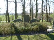
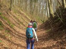
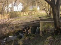
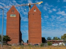
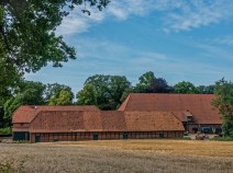
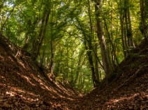
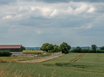
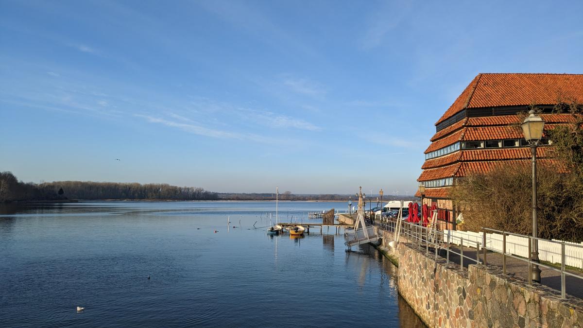
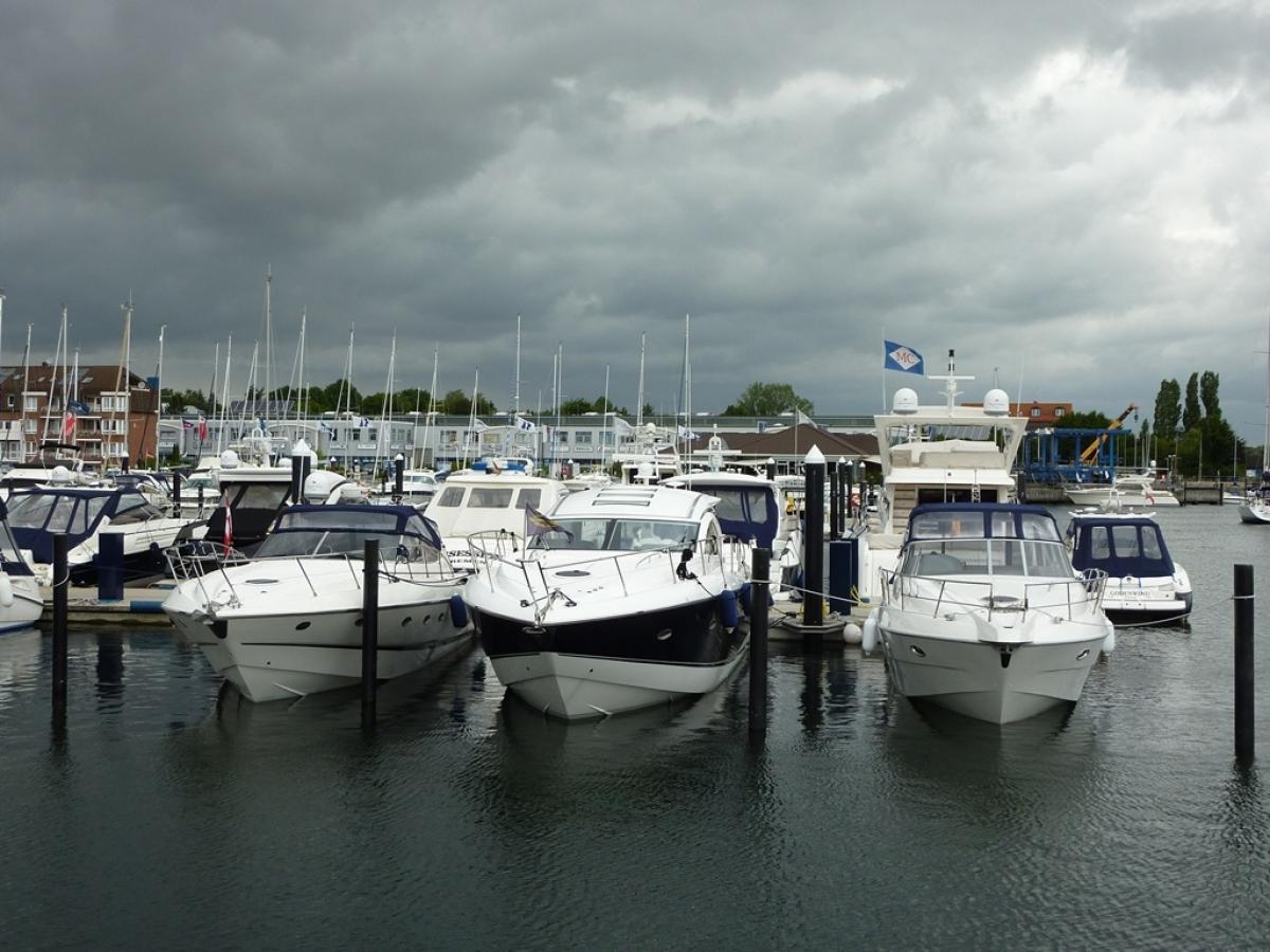
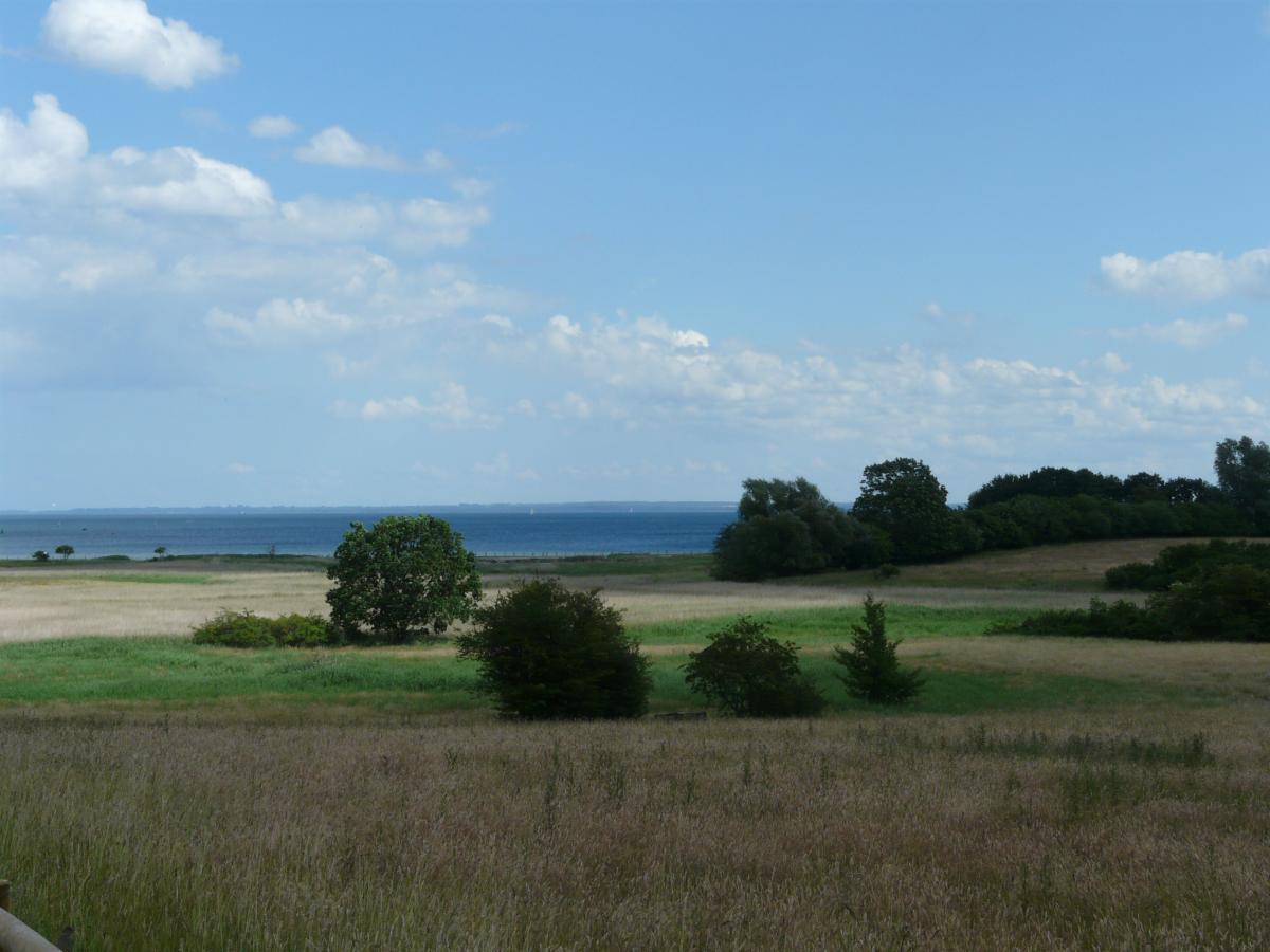
Photos


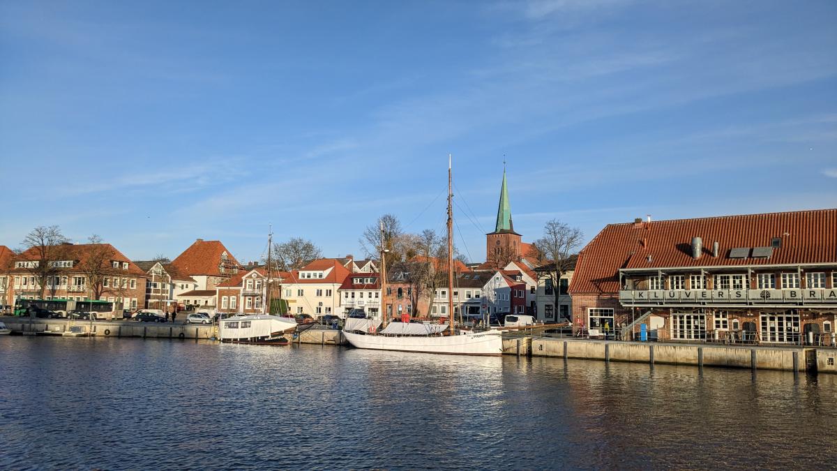
Stage description
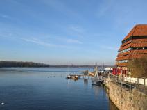
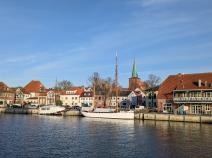
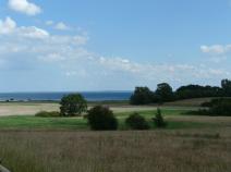
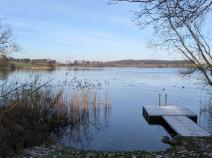
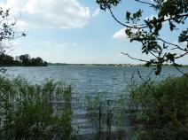
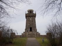
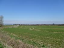
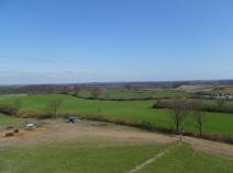
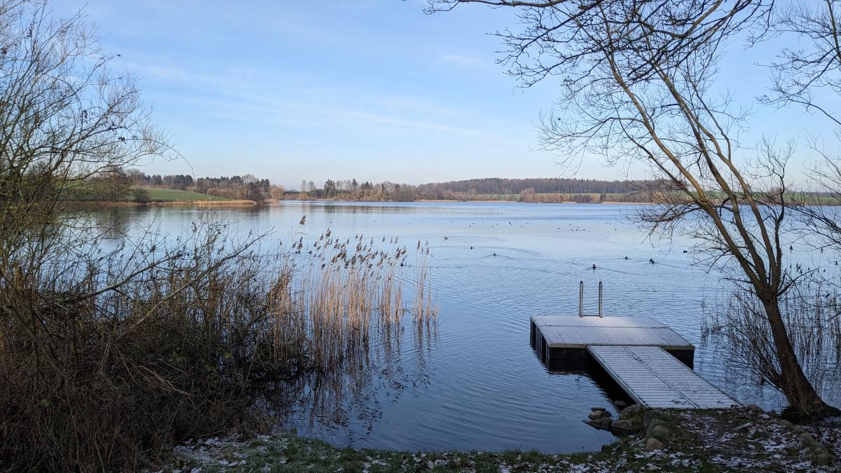
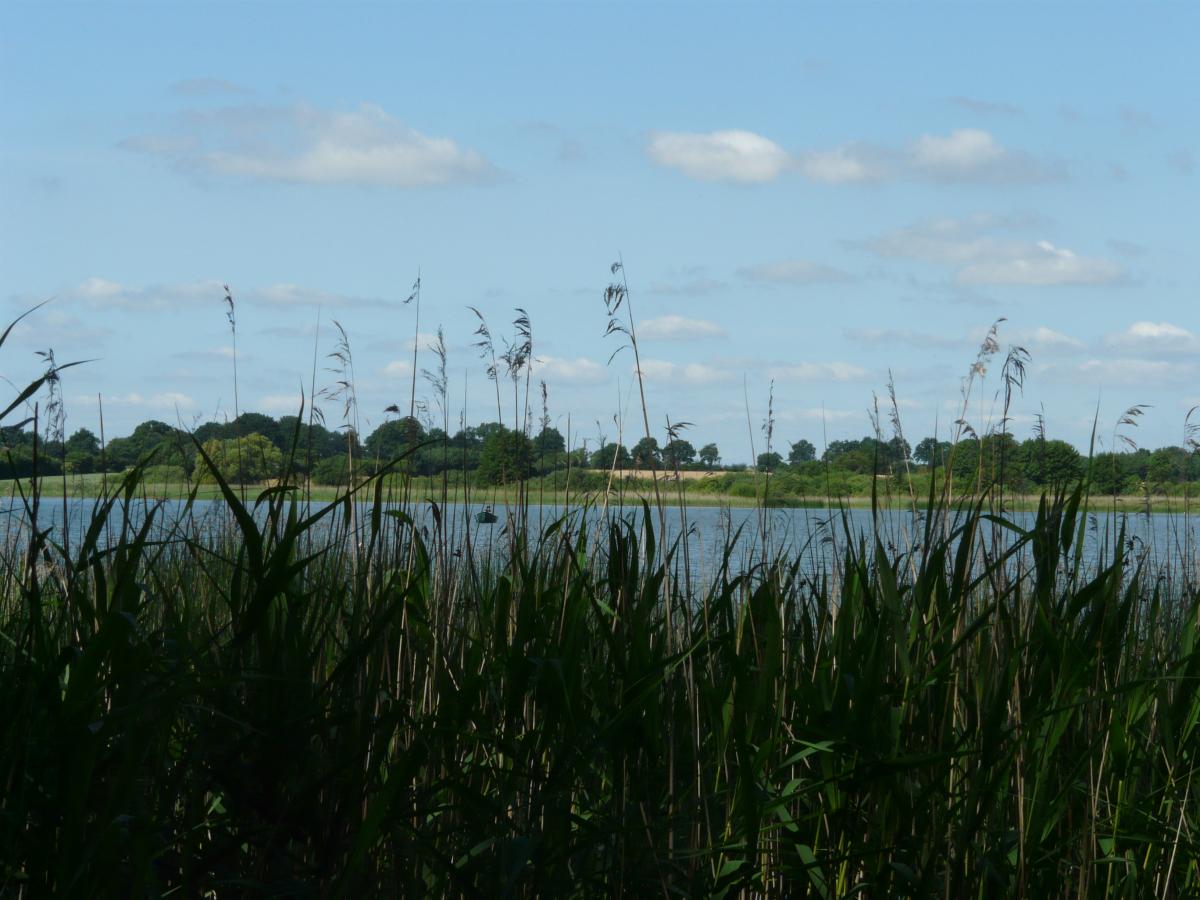
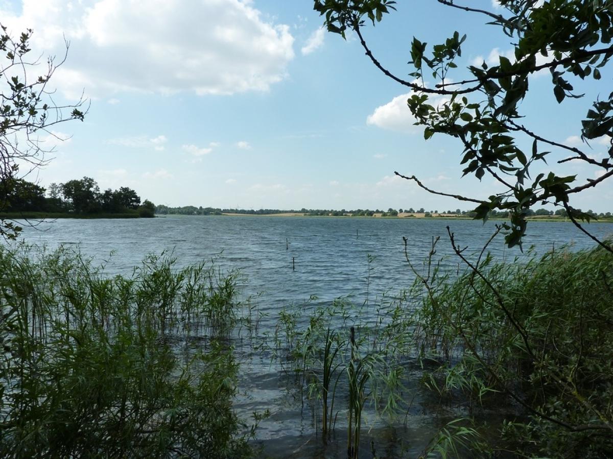
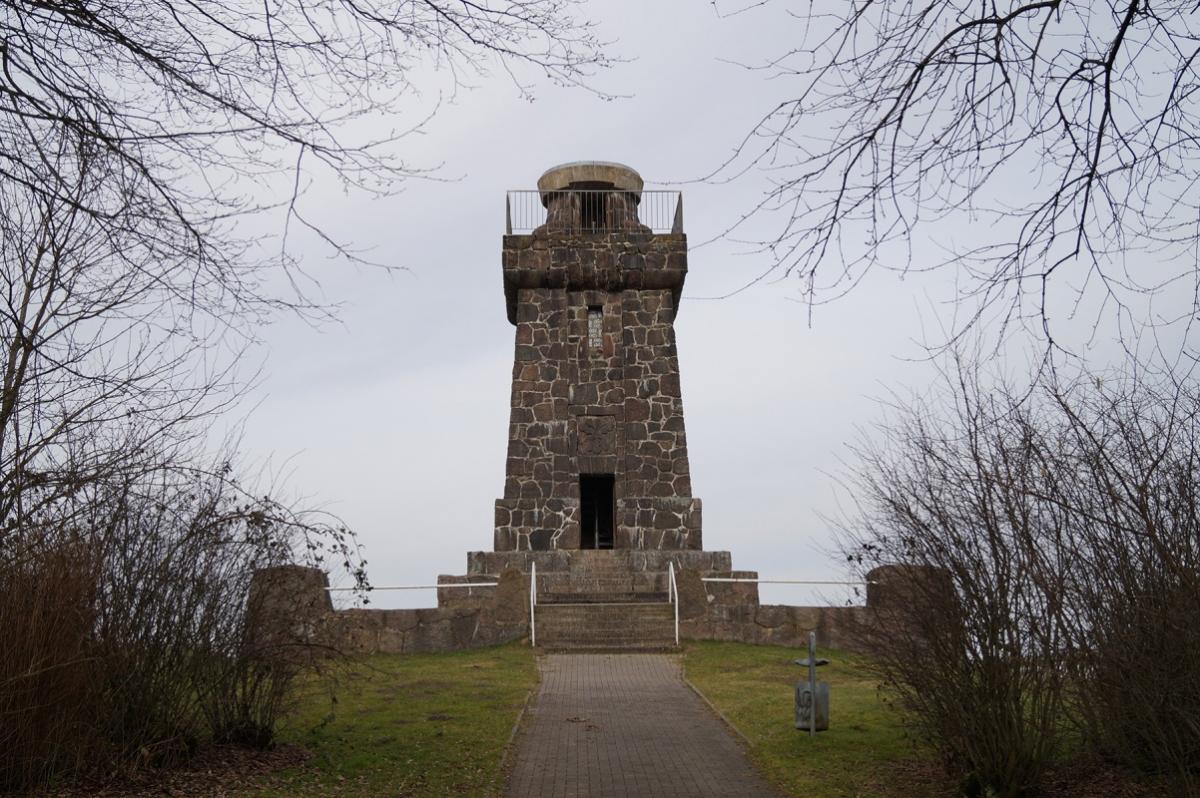
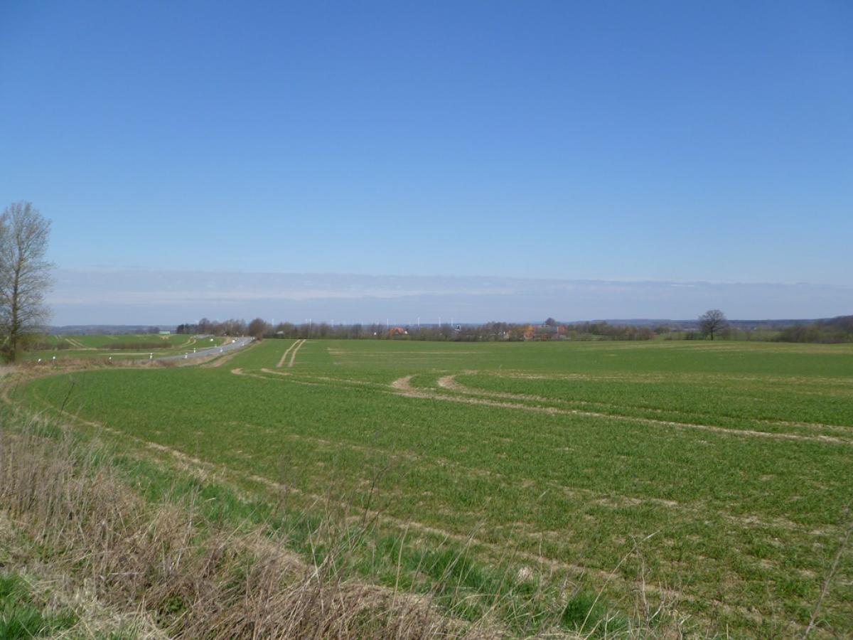
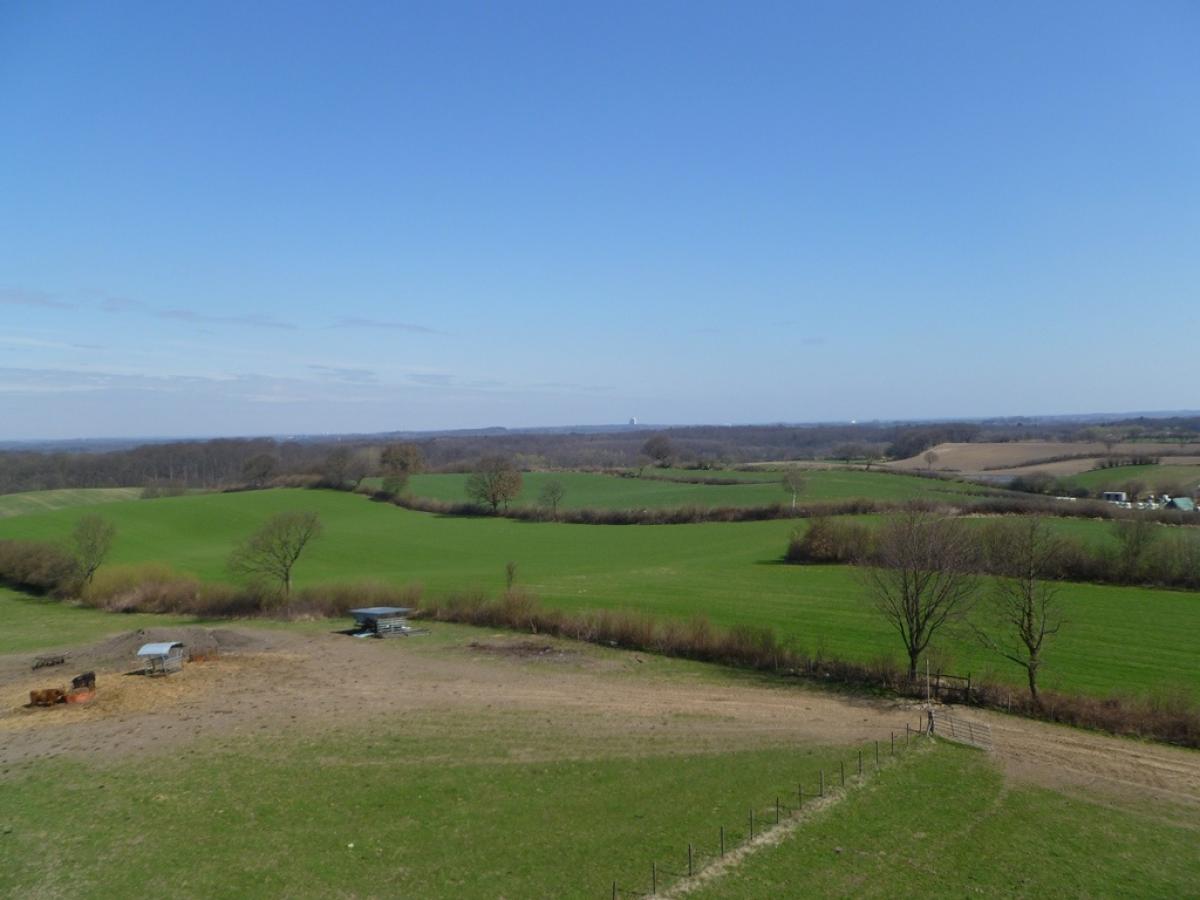
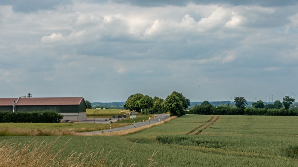
This is a stage with lots of asphalt. Along the way there are some great views across Lübeck Bay (between Oevelgönne and Stawedder) and across Lübeck from Pariner Berg, The worst bit is the 2km stretch between Horsdorf and Pariner Berg along a fairly busy road without any footpath.
Last text update:
07.07.2023
Hiking maps
No maps added yet
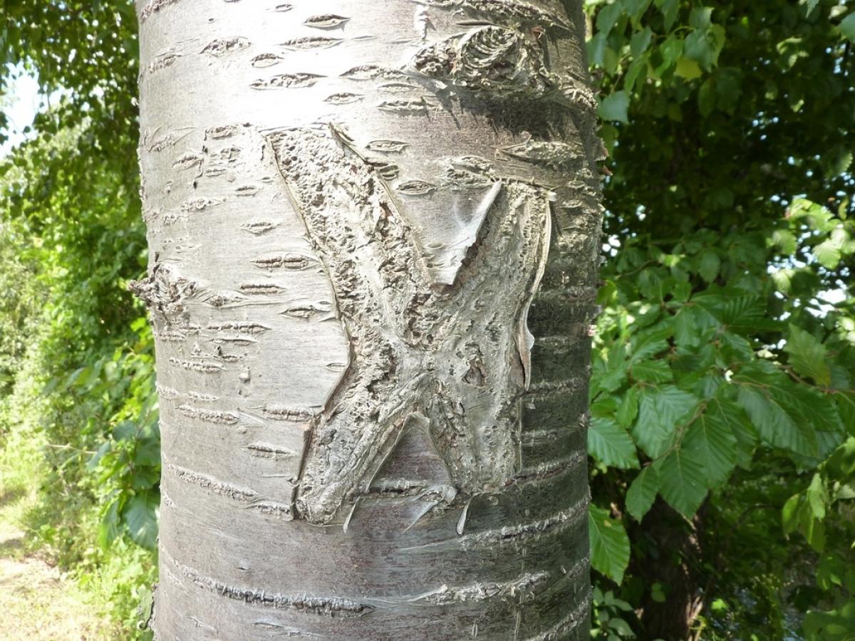
Marking
-
 St. Andrew's cross / E1
Accommodation
| Accommodation | Price group | |||
|---|---|---|---|---|
| 5-15 € | 16-30 € | 31-45 € | >45 € | |
|
Campingplatz Margarethenhöhe
Scharbeutz
Price group: 5-15 €
|
|
|||
|
Show more accommodation in Neustadt in Holstein
and Bad Schwartau
(booking.com / Ad)
|
||||
Literature

Sources and copyright
GPX track coordinates: © OpenStreetMap contributors. Published under Open Database License (ODbL)GPX-Downloads
You can use the GPX track for navigation and tour planning on your digital device (GPS, smartphone, online tour planner).
| Etappe Stage 1.12 Neustadt - Bad Schwartau | Download (.gpx) |
| All tracks in Germany | Download (.zip) |
The download and many of the services offered on this page are free of charge. However, I would greatly appreciate a small donation as a token of appreciation for my work! This can be done through Paypal or a supporting membership. Thank you very much!