1.14 Lübeck (Klein Grönau) - Ratzeburg
29.2km
Distance
-
Walking time
331m
Total climb
339m
Total descent
Photos

Stage description
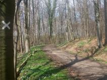
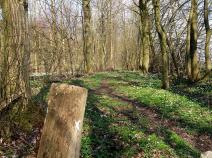
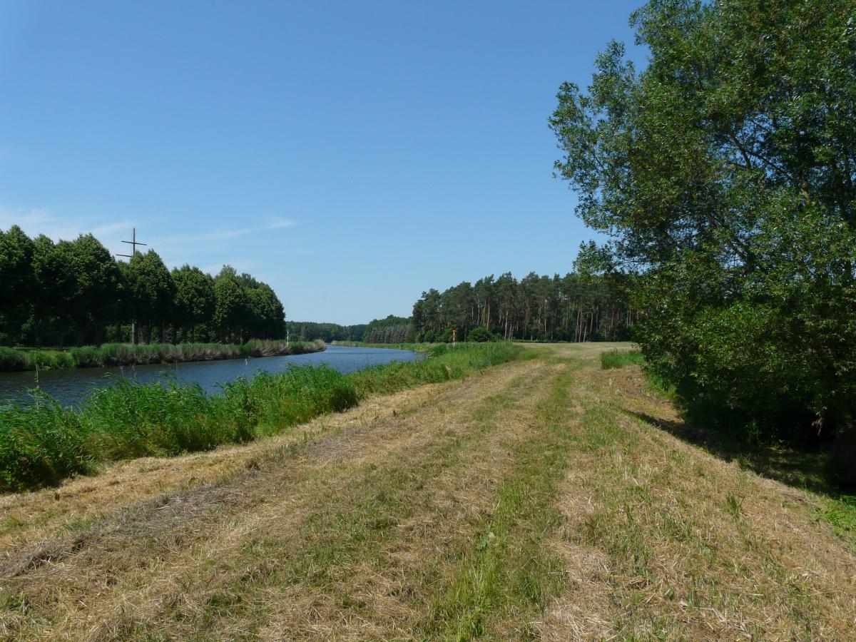
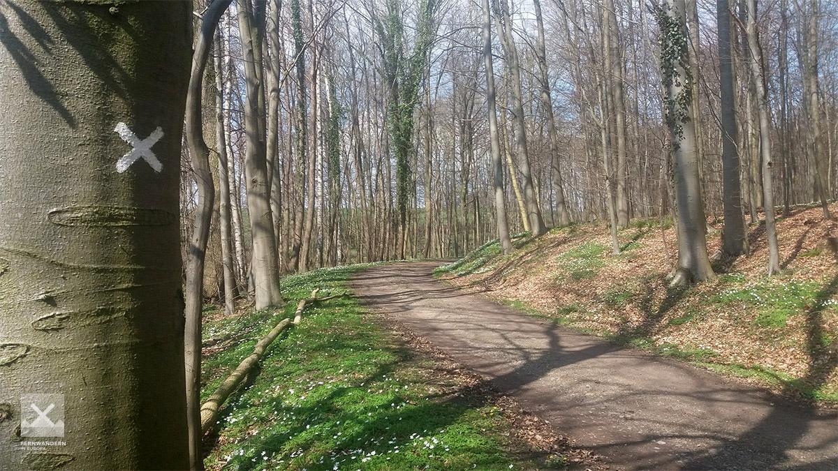
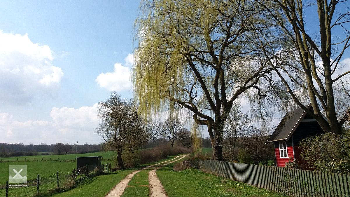
The stage actually starts at the 'Am Torfmoor' bus stop in Groß Grönau. The path leads directly passed Lübeck airport until Blankensee, which can be seen close by. After a short walk through the woods, there is a somewhat unattractive section on or alongside roads until it crosses the Elbe-Lübeck Canal in Krummesse. From here on, the stage starts to gain in appeal. The E1 follows the canal south until Klein-Berkenthin, where the path crosses the canal, taking in the beautiful Maria Magdalena Church and its grounds.
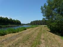
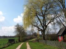
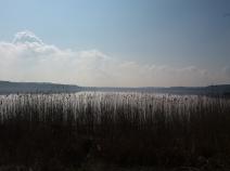
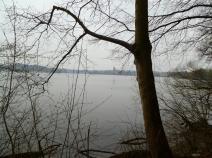
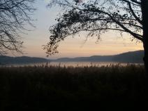
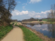
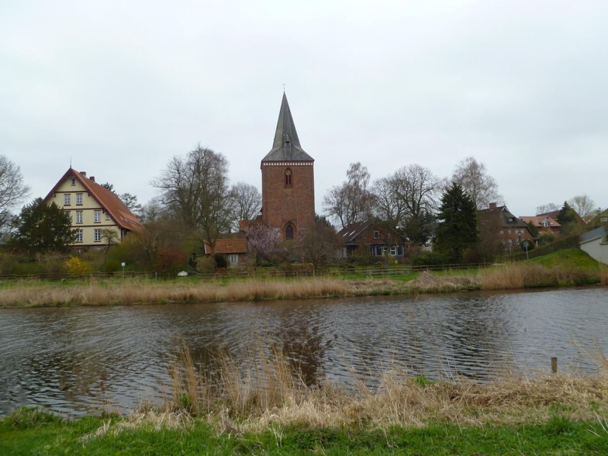
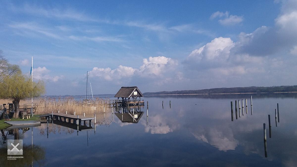
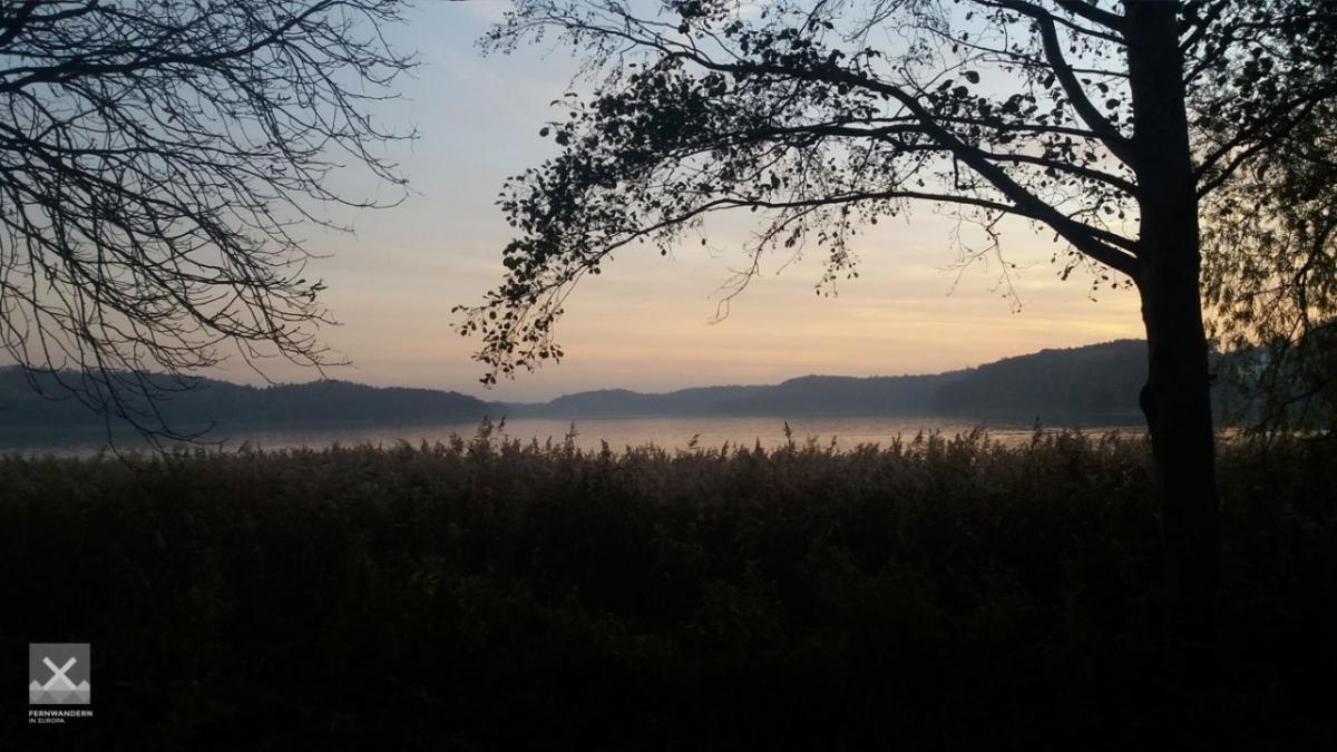
The trail follows gently rolling hills across fields and through some woods passed Klein Disnack to Buchholz, where a little pontoon jutting out in the lake offers a wonderful opportunity to sit and take a break. The is the Ratzeburger See, which the path follows until the city of Ratzeburg. The impressive cathedral, the Ratzeburger Dom is the symbol of the town and can be easily seen across the lake.
The E1, E6 and E9 long-distance paths all follow the course of this stage.
Hiking maps
No maps added yet
Marking
-
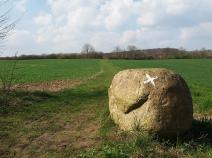
 St. Andrew's cross / E1
Accommodation
| Accommodation | Price group | |||
|---|---|---|---|---|
| 5-15 € | 16-30 € | 31-45 € | >45 € | |
|
Naturcamping Buchholz
Buchholz
Price group: €
|
||||
|
DJH Jugendherberge Ratzeburg
Ratzeburg
Price group: 15-30 €
|
|
|||
|
Campingplatz zur schönen Aussicht
Römnitz
Price group: 5-15 €
|
|
|||
|
Camping Schwalkenberg
Ratzeburg
Price group: 5-15 €
|
|
|||
|
Show more accommodation in Groß Grönau
, Lübeck
, Berkenthin
and Ratzeburg
(booking.com / Ad)
|
||||
Sights
-

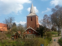
Johanniskirche
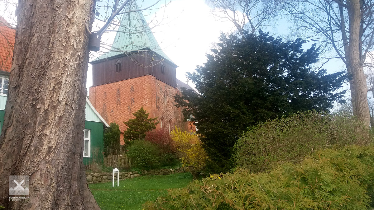
The Johanniskirche was built from 1230 on the high bank of the Stecknitz river, which was then expanded in the Middle Ages, first to the Stecknitz Canal and at the end of the 19th century to the Elbe-Lübeck Canal. The oldest part of the church is its square choir. This construction method, typical for rural church building in Saxony-Lauenburg, is one of the main differences to the somewhat older Vicelin-churches in the Holstein area north of Lübeck. A special feature for comparable churches in Schleswig-Holstein is the two nave nave with three bays on two central pillars. The tower was added around 1400, so that the original exterior portal has been the interior door ever since. The round arches of the tower windows are untypical of the late Gothic period.
-
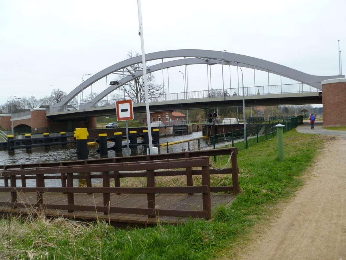
Elbe–Lübeck Canal
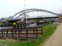
The Elbe-Lübeck Canal connects the Elbe with the Trave. It was built between 1895 and 1900 and has a length of about 62 kilometres. The E1 runs between Krummesse and Berkenthin on its western bank. It is crossed again at Güster (stage 1.16).
Source: Wikipedia
-
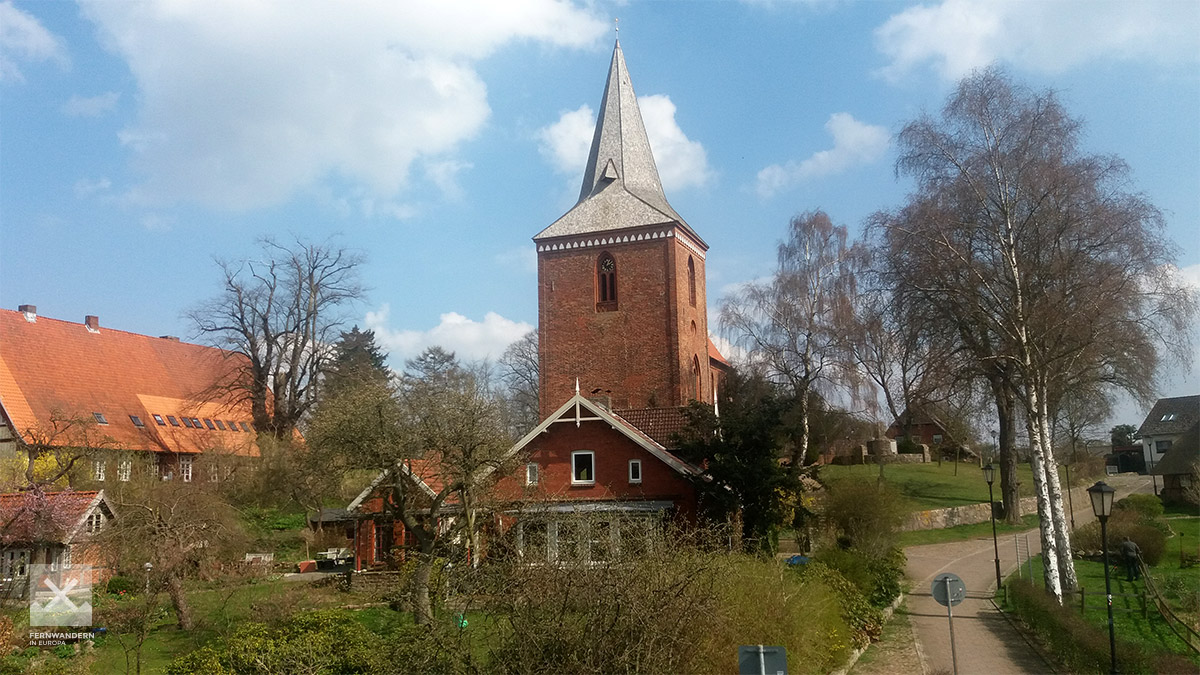
Maria-Magdalenen-Kirche
The Church of Mary Magdalene in Berkenthin was built around 1230, although a tax list from 1194 already mentions a church in Berkenthin. The Church of Mary Magdalene has medieval and medieval mural paintings from the 19th century, a late baroque altar, a figure of Mary Magdalene from the 15th century, a tree trunk cross from the 14th century and a baptismal angel from 1734.
Source: Wikipedia (german)
-
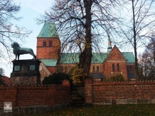
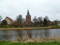
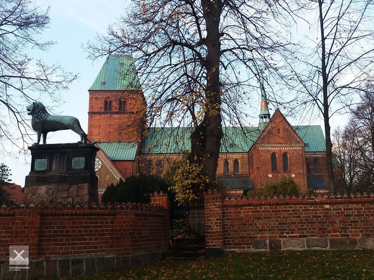
Ratzeburger Dom
In the north of the old town island of Ratzeburg is the Ratzeburger Dom (Ratzeburg Cathedral). This important testimony of Romanesque brick architecture was completed in 1220 after 60 years of construction. In front of the cathedral, donated by Henry the Lion, stands a replica of the Braunschweig Lion. Ratzeburg Cathedral does not stand directly on the path of the E1, a detour through Ratzeburg's old town with a few more sights is very worthwhile.

Literature

Sources and copyright
GPX track coordinates: © OpenStreetMap contributors. Published under Open Database License (ODbL)GPX-Downloads
You can use the GPX track for navigation and tour planning on your digital device (GPS, smartphone, online tour planner).
| Etappe Stage 1.14 Lübeck (Klein Grönau) - Ratzeburg | Download (.gpx) |
| All tracks in Germany | Download (.zip) |
The download and many of the services offered on this page are free of charge. However, I would greatly appreciate a small donation as a token of appreciation for my work! This can be done through Paypal or a supporting membership. Thank you very much!