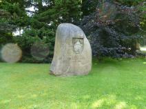
2.01 Witzhave - Billstedt
27.8km
Distance
-
Walking time
399m
Total climb
418m
Total descent
Photos

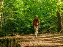
Stage description
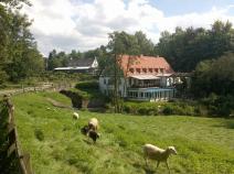
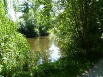
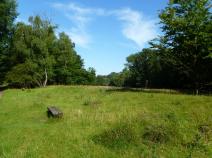
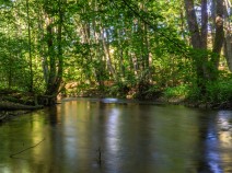
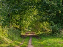
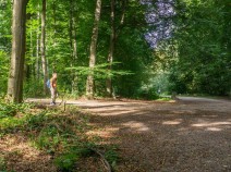
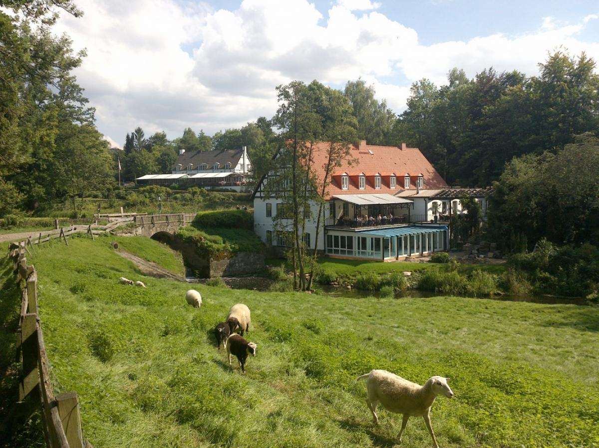
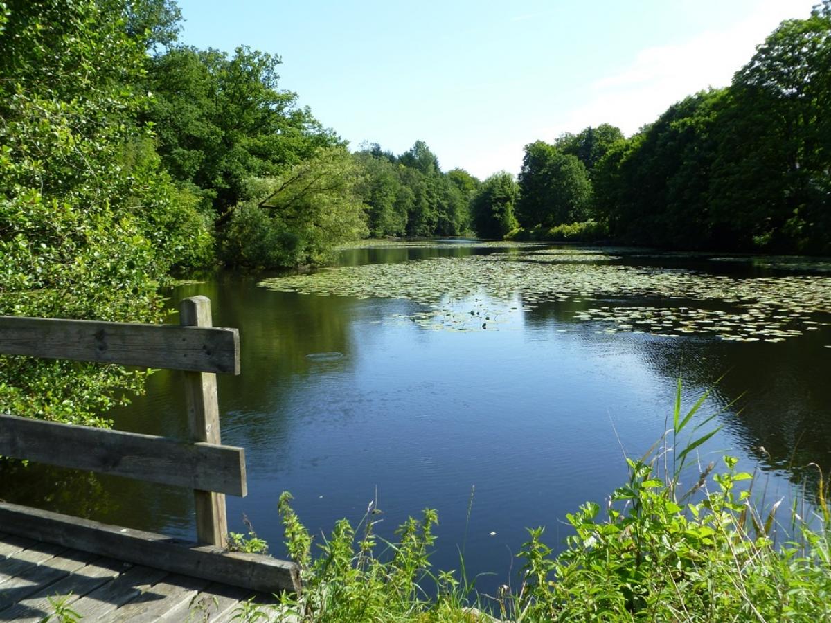
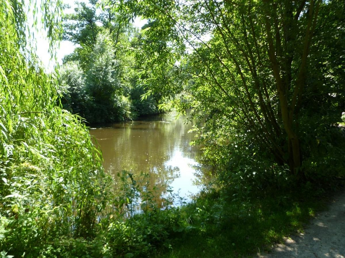
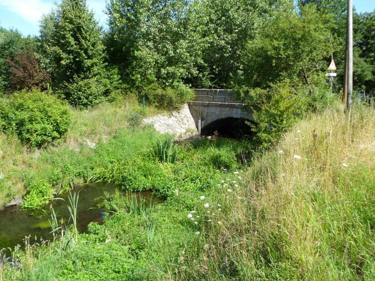
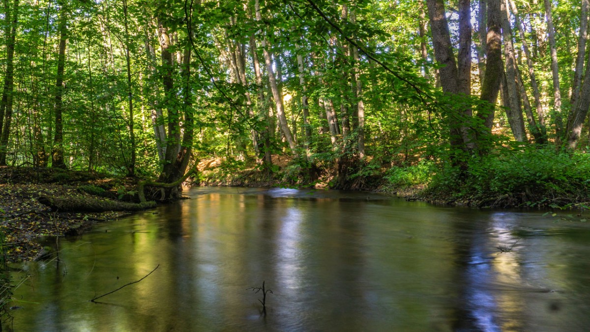
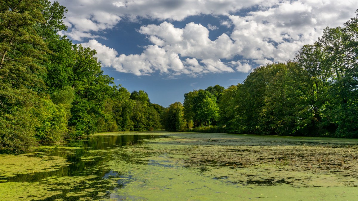
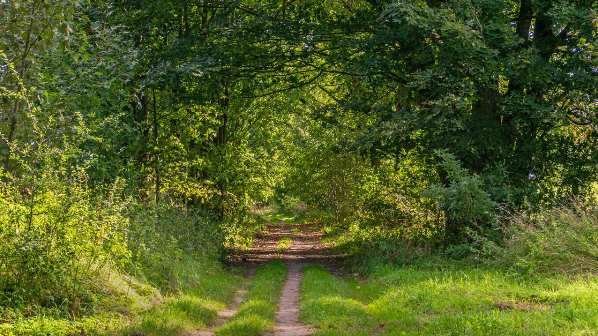
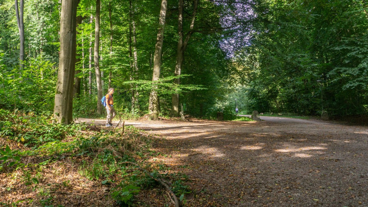
This stage leads always near the Bille and has many highlights to offer: the Sachsenwald, the high bank of the Bille in Reinbek, the Boberger Niederung.
There are signposted turnoffs to the nearby S-Bahn stations in Wohltorf, Reinbek and Bergedorf. In Bergedorf there is a side trip in both directions, here you can take a 2 km longer variant crossing Bergedorf.
Hiking maps
No maps added yet
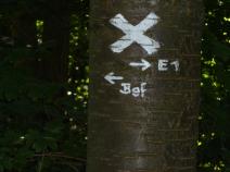
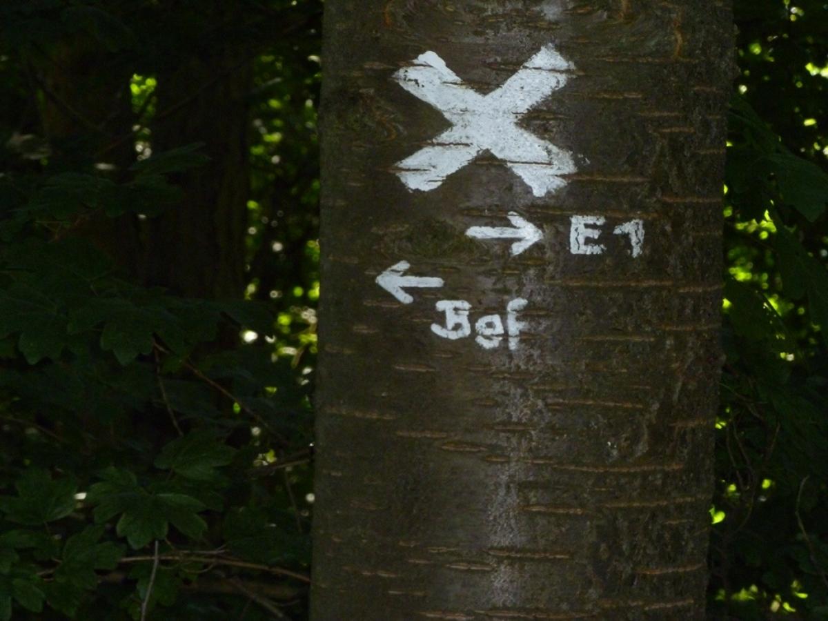
Marking
-
 St. Andrew's cross / E1
Accommodation
| Accommodation | Price group | |||
|---|---|---|---|---|
| 5-15 € | 16-30 € | 31-45 € | >45 € | |
|
Zimmervermietung Brockt-Rehberg
Witzhave
Price group: 15-30 €
|
|
|||
|
Hotel Pünjer
Witzhave
Price group: >45 €
|
|
|||
|
DJH Jugendherberge Hamburg "Horner Rennbahn"
Hamburg
Price group: 15-30 €
|
|
|||
Sights
-
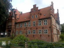
Schloss Bergedorf (castle Bergedorf)
In the centre of Bergedorf is the castle Bergedorf, which is surrounded by a moat.
-
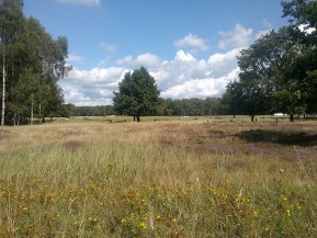
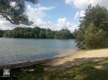
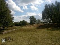
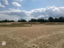
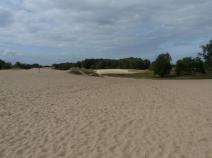
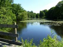
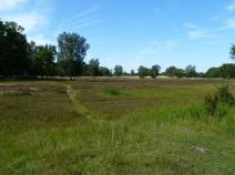
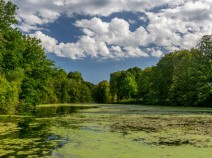
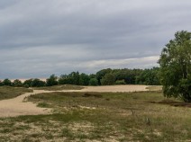
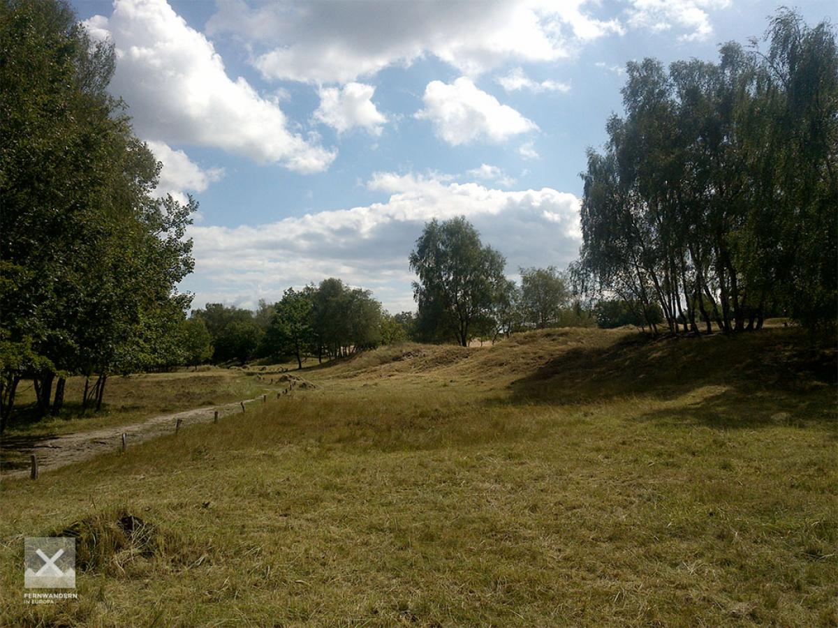
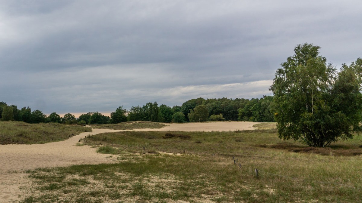
Boberger Niederung with glider airfield
A popular excursion destination for many Hamburg residents is the nature reserve "Boberger Niederung". The E1 leads through a varied landscape of moor, heath, marsh and sand dunes. At the glider airfield, you can watch busy (but quiet) air traffic, especially on weekends. The Boberger See invites you to swim in summer.


Links
geofox.de - Timetable information
Timetable information of the public transport in Hamburg (HVV)
Literature

Sources and copyright
GPX track coordinates: © OpenStreetMap contributors. Published under Open Database License (ODbL)GPX-Downloads
You can use the GPX track for navigation and tour planning on your digital device (GPS, smartphone, online tour planner).
| Etappe Stage 2.01 Witzhave - Billstedt | Download (.gpx) |
| Alternativroute über Bergedorf | Download (.gpx) |
| All tracks in Germany | Download (.zip) |
The download and many of the services offered on this page are free of charge. However, I would greatly appreciate a small donation as a token of appreciation for my work! This can be done through Paypal or a supporting membership. Thank you very much!