1.09 Plön - Eutin
24.9km
Distance
-
Walking time
319m
Total climb
322m
Total descent
Photos


Stage description
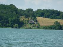
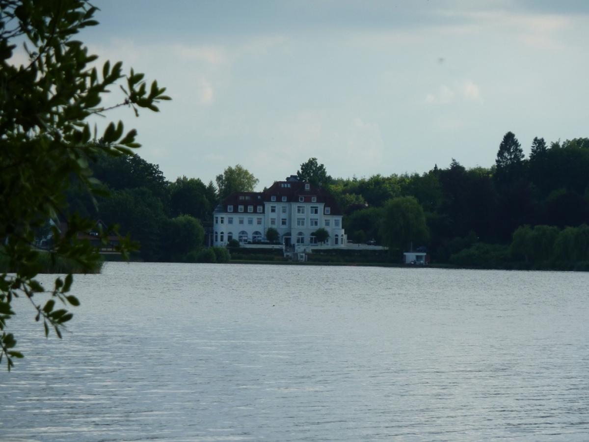
This really appealing stage featuring many of the larger lakes in an area affectionately known as Holstein Switzerland. The path takes you along the banks of nine different lakes, most of the time following unpaved forest trails.
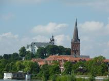
The train station at the start of the stage in Plön is situated directly on the Großer Plöner See. Mostly following the banks of the lake, you come to Fegetasche, an old customs station on the narrow stretch of land between the Großer Plöner See and Edebergsee. Forest trails take you further to the Große Madebrökensee, Höftsee and Behler See to the Adlerhorst tent camp, then further to Langensee to the narrow stretch of land between Langensee and Suhrer See. At this point you have a long asphalt section until you have passed through the village of Niederkleveez.
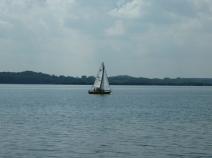
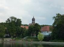
The path continues on a attractive section through the woods, along the Dieksee and past the Spiegelteichen – the mirror ponds – that were once used for fish breeding by the banks of the lake. The path leads more or less straight on until you get to the town of Malente, the tourist hotspot of the region with its numerous hotels and guest houses. The E1 then takes you through the town, across the train tracks, then right, along Lindenalle, to Kellersee, perhaps the prettiest of the lakes on this stage.
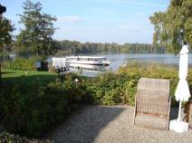
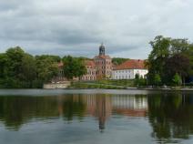
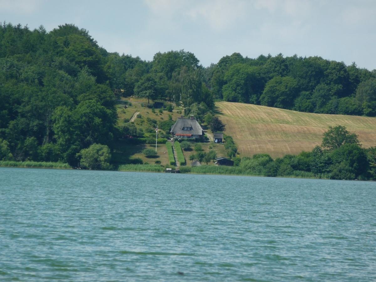
The E1 then takes you through parks, side streets, footpaths and a short stretch along a main road until you come back to the forest trail on the banks of the lake, past a number of lavish properties until you reach Sielbeck on the north-east corner of the lake. From here you head south through woods and along the banks of the lake until the town of Fissasu. From the Fissau ferry house you have a great view of the lake and the surrounding hills. Following the course of the Schwentine River, which connects nearly all the lakes, you finally reach the Großer Eutiner See and the town of Eutin the end of the stage.
Hiking maps
No maps added yet
Marking
-
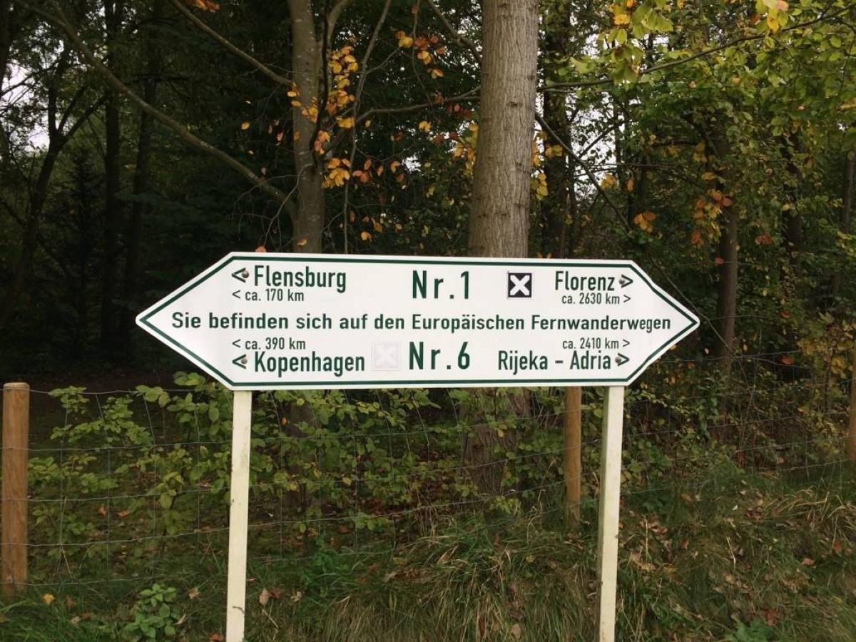
 St. Andrew's cross / E1
Accommodation
| Accommodation | Price group | |||
|---|---|---|---|---|
| 5-15 € | 16-30 € | 31-45 € | >45 € | |
|
DJH Jugendherberge Plön
Plön
Price group: 15-30 €
|
|
|||
|
Naturcamping Spitzenort
Plön
Price group: 5-15 €
|
|
|||
|
Camping Park Gut Ruhleben
Plön/Bösdorf
Price group: 5-15 €
|
|
|||
|
DJH Jugendherberge Bad Malente
Bad Malente-Gremsmühlen
Price group: 15-30 €
|
|
|||
|
Naturpark Camping Prinzenholz
Eutin
Price group: 5-15,15-30 €
|
|
|
||
Literature

Sources and copyright
GPX track coordinates: © OpenStreetMap contributors. Published under Open Database License (ODbL)GPX-Downloads
You can use the GPX track for navigation and tour planning on your digital device (GPS, smartphone, online tour planner).
| Etappe Stage 1.09 Plön - Eutin | Download (.gpx) |
| All tracks in Germany | Download (.zip) |
The download and many of the services offered on this page are free of charge. However, I would greatly appreciate a small donation as a token of appreciation for my work! This can be done through Paypal or a supporting membership. Thank you very much!